Blog · Ships & AIS
Live Ships in the South Pacific: Routes Connecting Chile, Peru and Ecuador to Asia
The South Pacific as a Global Trade Highway
When people picture the world's great shipping corridors, the North Atlantic or the Strait of Malacca tend to come to mind. Yet the South Pacific quietly sustains one of the planet's busiest commercial exchanges: the uninterrupted flow of goods between the commodity-exporting economies of western South America and the industrial powerhouses of East Asia.
Chile ships copper, lithium and fresh fruit. Peru exports fishmeal, minerals and asparagus. Ecuador dispatches shrimp, bananas and crude oil. All of it crosses thousands of kilometres of open ocean aboard vessels that can now be tracked in real time thanks to AIS technology.
ARGOS ATLAS plots each of those ships on an interactive world map with continuous position updates, turning the abstract idea of global trade into something you can actually watch happen.
The Three Anchor Ports of South America's Pacific Coast
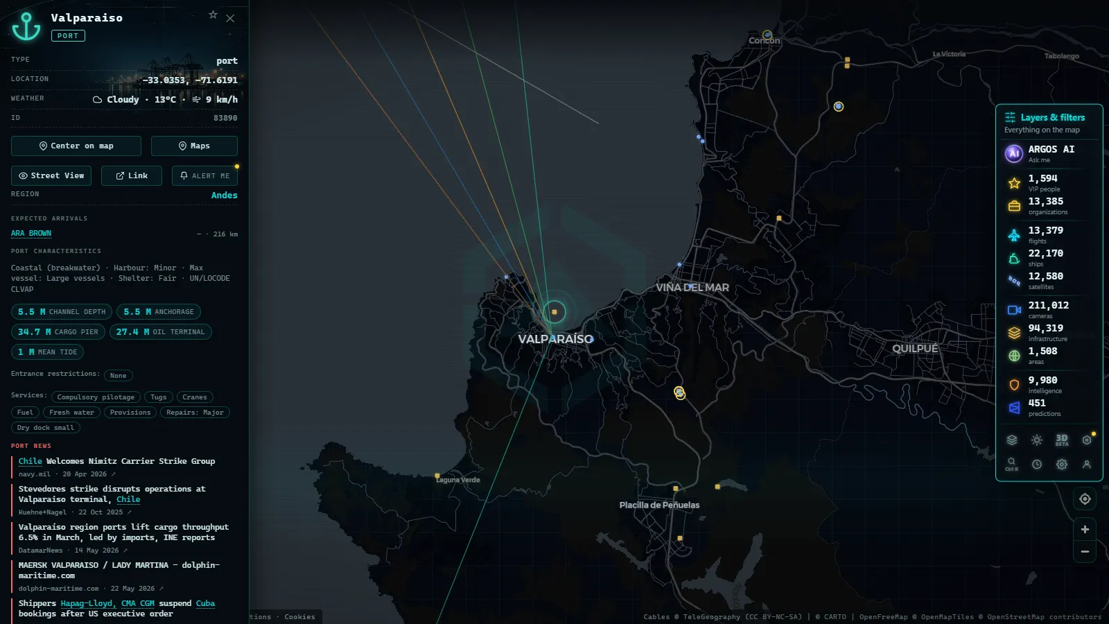
Valparaiso and San Antonio (Chile)
The port complex of Chile's Valparaiso Region is the country's most strategically important maritime gateway. San Antonio overtook Valparaiso in container throughput around a decade ago, but both terminals function as an integrated node serving the Chilean capital and its export-heavy hinterland.
Through these berths flows the processed copper output of Codelco, the battery-grade lithium extracted from the Atacama salt flats, and the table grapes, cherries and stone fruit of the Central Valley. During the Southern Hemisphere summer harvest season (December through March) refrigerated vessels and reefer-equipped container ships queue in numbers that are clearly visible in the AIS data.
Outbound, these ships set course west-northwest toward Shanghai, Qingdao or Busan at cruising speeds of 18 to 22 knots.
Callao (Peru)
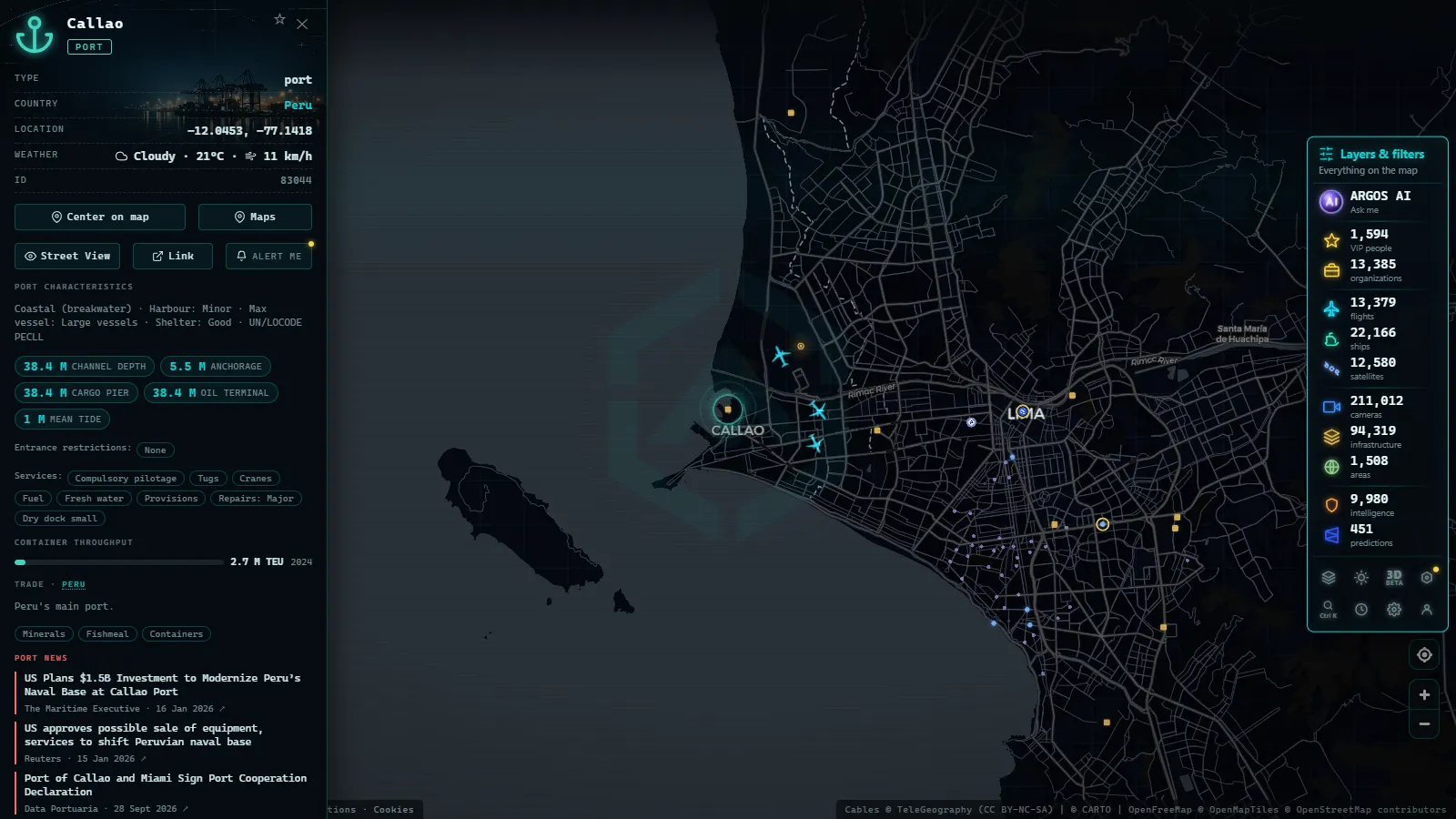
Callao, Lima's adjacent port city, is the highest-volume port on the South American Pacific coast by total cargo handled. It processes more than three million TEU annually and serves as the commercial lungs of an economy that grew consistently for two decades on the back of mining and agri-food exports.
Bulk carriers loading fishmeal share anchorage with container ships operated by the world's largest carriers. The APM Terminals facility and DP World's concession operate side by side on a waterfront whose activity is fully legible on ARGOS ATLAS: vessels docking, manoeuvring or waiting at anchor for a free berth.
Routes from Callao towards northeast Asia run roughly parallel to Chile's trans-Pacific lanes but depart from a lower latitude, allowing ships to exploit equatorial Pacific currents under certain seasonal conditions.
Guayaquil (Ecuador)
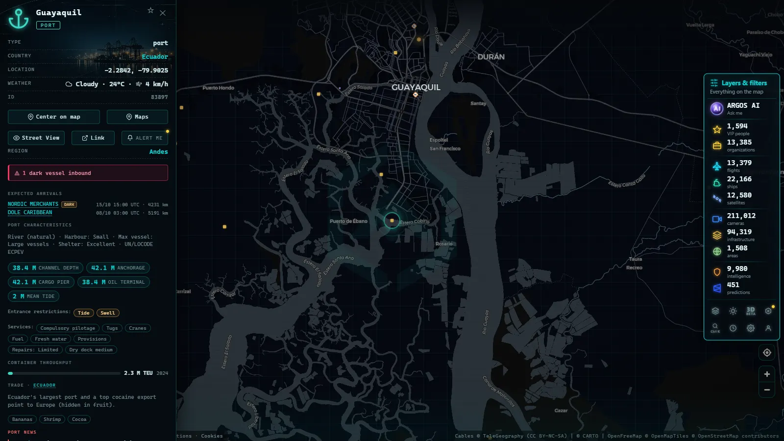
Ecuador's main port is one of the continent's primary exporters of perishable commodities. The banana industry (Ecuador is the world's largest exporter) and the explosive growth of aquaculture over the past two decades transformed Guayaquil into a critical node of the global cold chain.
Ships departing Guayaquil frequently combine port calls: a stop in Manta or Peru's Paita before turning for the open Pacific. This creates small regional-service clusters that appear on the live map as coordinated groups of points tracing semi-parallel headings westward.
How AIS Tracking Works Across Open Ocean
AIS was designed primarily for coastal safety: collision avoidance in narrow channels and congested approaches. The VHF transponders that feed it have a surface range of roughly 20 to 40 nautical miles. In mid-ocean, thousands of kilometres from shore, that would seem to make real-time tracking impossible.
Satellite AIS (S-AIS) solves the problem. Dozens of low-Earth-orbit satellites continuously sweep the ocean, picking up AIS transmissions from vessel transponders far below. Providers such as exactEarth, Spire and Orbcomm aggregate those detections and feed them to platforms that, like ARGOS ATLAS, present them in an accessible map interface.
"Watching the South Pacific on a live AIS map is watching the Latin American economy in motion: every dot represents a fulfilled export contract making its way across the world's largest ocean."
In practice, ships transiting the open South Pacific generate position updates at intervals of a few minutes, precise enough to track their intended course and estimate arrival times with reasonable accuracy.
From the ARGOS ATLAS channel.
Trans-Pacific Routes: Valparaiso to Shanghai
South Pacific trans-Pacific routes are geographically distinct from their North Pacific counterparts because there is no equivalent of the Aleutian great-circle shortcut available in the northern hemisphere. Vessels must cross a vast ocean with almost no intervening land before reaching Oceania or East Asia.
The Great Circle Route Toward the Northwest Pacific
Container ships bound from Chilean or Peruvian ports to Shanghai, South Korea or Japan typically follow a great-circle track that curves northwest, crosses the equator and enters the North Pacific somewhere in the vicinity of the central Pacific island chains. The total distance ranges from roughly 18,000 to 20,000 kilometres of sustained open-ocean sailing.
Routes via Oceania
Some secondary-frequency services include a technical call at an Australian or New Zealand port, turning the voyage into a circuit that links the Southern Cone with East Asia by way of the Southwest Pacific. These services are less frequent but provide connectivity to markets that would otherwise require a Panama Canal transshipment.
Principal South American–Asian Services
Major carriers (Maersk, MSC, CMA CGM, Cosco Shipping) operate weekly pendulum services calling at several South American ports before heading into the Pacific. The "Andean" service and its equivalents typically combine Guayaquil, Callao and one or two Chilean terminals in a single itinerary before the long trans-Pacific leg.
What Types of Ships Cross the South Pacific
The vessel mix in this region reflects an economy built on commodity exports and agricultural trade:
Container Ships
The dominant type on trans-Pacific routes. Vessels above 10,000 TEU capacity have become common at Callao and San Antonio following recent port expansion works. On the AIS map they are identifiable by their vessel-type code and their characteristic straight track at constant speed.
Bulk Carriers
Essential for Chilean iron ore and copper concentrate, and for Peruvian fishmeal. These low-profile vessels with large open holds travel at 12 to 15 knots, noticeably slower on the live map than container ships, making them easy to distinguish.
Tankers and Chemical Carriers
Ecuadorian crude oil and refined petroleum products travel aboard these units. Their routing is similar to other vessel types but subject to stricter port-approach protocols.
Reefers and Refrigerated Container Ships
Chilean fruit and Ecuadorian shrimp require controlled temperatures for the entire voyage. While purpose-built reefer ships are increasingly being displaced by conventional container ships fitted with refrigerated units, traditional reefers still appear on seasonal runs out of Valparaiso.
Using ARGOS ATLAS to Follow South Pacific Traffic
Opening ARGOS ATLAS and enabling the ship layer is all it takes to see live port activity at Callao, Valparaiso or Guayaquil. Centring the map on South America's Pacific coast reveals vessels at berth, ships at anchor awaiting a pilot, and those already underway on their oceanic heading.
To follow trans-Pacific traffic, zoom out until the full width of the Pacific is visible. The scattered dots between roughly 130° and 180° west longitude are predominantly ships in transit between South America and Asia. Clicking any vessel surfaces its identity, flag, vessel type, current speed and heading.
The difference between this map and a trade-statistics table is that the data is alive. The vessel appearing 2,000 kilometres from Shanghai is carrying Chilean lithium carbonate or Peruvian copper concentrate that will be unloaded at a Chinese smelter or battery plant within the next ten days. The South Pacific economy fits on a screen.
The Panama Canal as an Alternative Node
Not all trade between western South America and Asia crosses the Pacific directly. A substantial share (particularly cargo bound for East Asian north-coast ports or for European destinations via Suez) travels northward along the coast toward the Panama Canal and transits the isthmus. ARGOS ATLAS lets you follow that route as well: the same ships that departed Callao will appear hours later converging on the Miraflores locks approach.
This is one of the advantages of a global real-time map: the ability to trace a complete voyage from Guayaquil's loading berths to Shanghai's unloading terminals, with every intermediate position on the record.
The South Pacific is not an empty space. It is one of the world's great commercial arteries, and today anyone can watch it pulse in real time.
Frequently asked questions
How does AIS tracking work for ships crossing the open ocean?
AIS transponders broadcast a vessel's position, speed, heading and identity every few seconds via VHF radio. In open ocean, satellite receivers in low-Earth orbit capture those signals and relay them to shore-based platforms like ARGOS ATLAS, enabling near-real-time tracking anywhere on the planet.
What are the main ports on South America's Pacific coast?
The three dominant ports are Valparaiso-San Antonio (Chile), Callao (Peru) and Guayaquil (Ecuador). Together they handle the majority of western South America's maritime trade with Asia and North America.
How long does a trans-Pacific voyage from South America to Asia take?
A modern container ship typically takes between 18 and 25 days from South American Pacific ports to major Asian hubs such as Shanghai, Busan or Tokyo, depending on the route and scheduled port calls.
- Live Ships in the Mediterranean Sea: Ferries, Cruise Liners and Container Ships
- Live Ships in the Strait of Malacca, the World's Busiest Shipping Lane
- Live Ships in the North Atlantic: Europe to North America Trade Routes
- Port of Santos Live: Sugar Terminals & Congestion Tracker
- IMO Ship Tracking: Look Up Any Vessel Live, Free
- South America Ports List: The Major Ports, Country by Country