Blog · Ships & AIS
Port of Santos Live: Sugar Terminals & Congestion Tracker
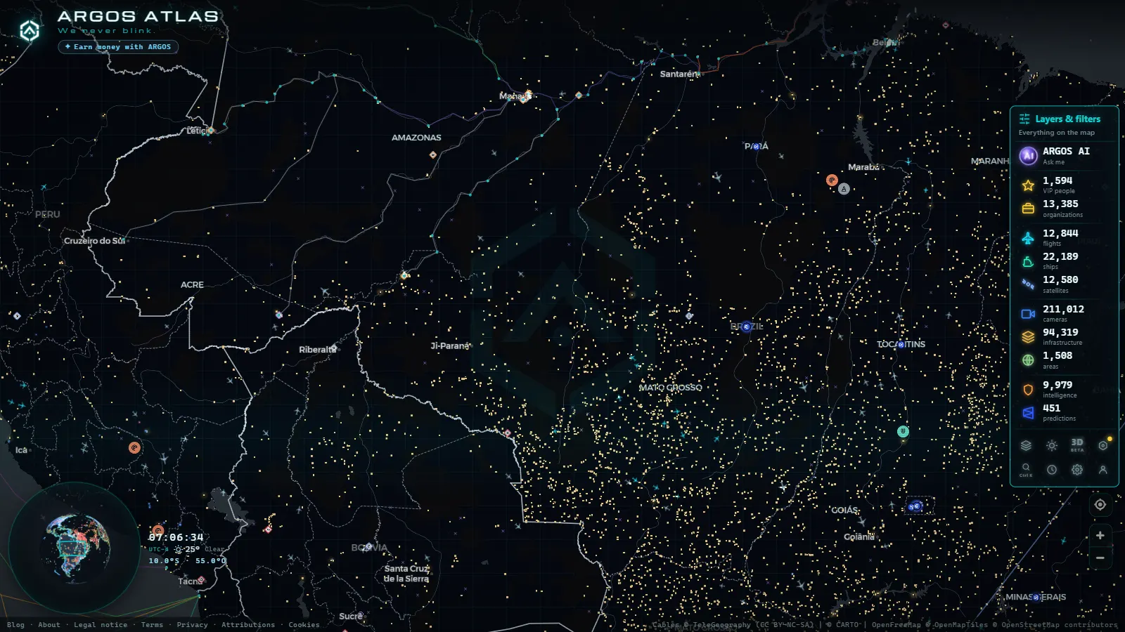
Yes, you can watch the Port of Santos live from any browser, free and without signing up. The ships working the port broadcast their position over AIS, an open signal that maritime maps paint in real time, and around ~475 public cameras show the city and the access roads around the terminals. On a single map you can count how many vessels are waiting at anchor, see which ones are alongside, and check what the weather over the bay looks like right now.
The setting deserves it. Santos, on the coast of São Paulo state, is Latin America's largest port and Brazil's great maritime gateway. Through its terminals, the sugar, coffee and soybeans of the Brazilian interior head out to the world, while containers flow in and out of the country's most industrialized region. This guide shows you how to read the port the way professionals do: ships, anchorage queue and cameras, all live.
Why Santos is Latin America's largest port
The strength of Santos lies not only in its berths but in what sits behind them. The port serves São Paulo state and much of central-southern Brazil, one of the most productive agricultural and industrial regions on the continent. Roads and railways descend from the Paulista plateau to the coast loaded with export cargo, and the port is the natural funnel for all that flow.
Its flagship cargoes sketch the profile of Brazilian trade, and tell you which ships you will spot on the map:
| Cargo | Role at Santos |
|---|---|
| Sugar | The most closely watched cargo: Santos is one of the world's largest sugar-exporting ports, and the harvest sets the rhythm of the anchorage |
| Coffee | A historic cargo of the region, tied to the port since its earliest trading days |
| Soybeans and other grains | Agricultural bulk flowing down from the productive interior to the berths |
| Containers | Manufactured goods, industrial inputs and consumer products from Brazil's most industrialized region |
That mix of agricultural bulk and containerized cargo makes Santos a remarkably varied port, where completely different vessel profiles work side by side. If you want to recognize them on the map, this guide to merchant ship types will help you tell a bulk carrier from a container ship at a glance. And to put the port in regional context, compare Santos with the region's other giants in our overview of the main seaports of Latin America.
How to watch Port of Santos ships live
Merchant vessels continuously broadcast their position, course, speed and identity through AIS, an open radio signal that maritime maps collect and paint in real time. If you are not familiar with how it works, we explain it in detail in what AIS is and how it lets you see ships in real time.
In practice, following Santos live is as simple as opening the live map on ARGOS ATLAS and zooming in on the São Paulo coast. You will see three distinct scenes, each telling you something different:
| Port area | What you'll see on the map | What it tells you |
|---|---|---|
| Berths and terminals | Ships moored along the estuary, loading or discharging | What kind of cargo the port is working that day |
| Access channel | Ships entering or leaving, often with a pilot on board | How fast the berths are turning over |
| Anchorage | Stationary ships off the coast, held by their anchors | The congestion level: the longer the queue, the more saturated the port |
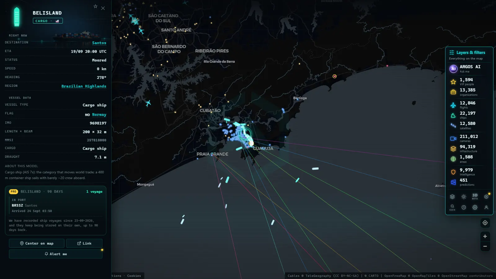
Click on any vessel and its card opens with name, type, flag, dimensions and declared destination. The port's own card gathers its activity in one place, so you can come back day after day and compare how the scene evolves without searching for anything again.
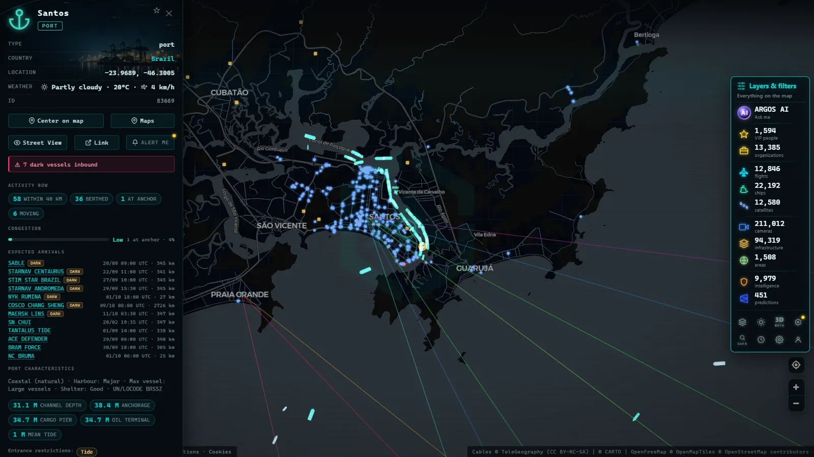
Reading sugar shipments and congestion at the Port of Santos
If there is one indicator market professionals watch in Santos, it is the anchorage queue. An anchored ship is a stationary ship, held to the seabed by its anchor, waiting for something: usually a free berth, a cargo that is ready, or a commercial order. We cover the concept in depth in what it means when a ship is at anchor.
In Santos, that queue follows a seasonal rhythm strongly shaped by the sugar harvest. When the cane crop peaks, sugar exports concentrate into a few months and more vessels arrive than the sugar terminals can serve. The result is visible on any AIS map: dozens of bulk carriers waiting off the coast, sometimes for weeks.
A live map won't hand you official sugar shipment volumes (that is what industry reports are for) but it gives you the earliest, most visual signal there is. A growing line-up of bulk carriers points to logistical bottlenecks: cargo takes longer to leave, ships pile up waiting days, and costs climb along the whole chain. A shrinking queue, on the other hand, means the terminals are keeping pace. That is why the Santos anchorage works as a thermometer of the sugar trade: you can see on the map, at a glance, whether the port is flowing or clogged.
From the ARGOS ATLAS channel.
How to track one specific ship out of Santos
The observation doesn't have to end when a vessel weighs anchor. Pick a bulk carrier from the queue, open its card, note its name and declared destination, and look it up again a few days later: you will find it crossing the Atlantic toward its discharge port. Our step-by-step guide on how to track a ship live covers everything you need to keep the thread.
That small exercise turns a static scene into a complete story: from the Santos anchorage out into the world, following the same cargo you watched waiting off the beach.
Santos on camera: the city around the port
AIS tells the maritime half of the story; public cameras tell the urban half. Santos is also a city of beaches, avenues and access roads carrying all the heavy traffic that feeds the port, and much of that environment can be watched live.
On the ARGOS ATLAS map there are around ~475 public cameras in the Santos area, between traffic cameras and urban webcams, within a worldwide network of more than 200,000 live cameras. With them you can check the state of the port access roads, the weather over the bay or the mood of the city at any given moment. It is the perfect complement to AIS: if the maritime map tells you how many ships are waiting, the camera shows you what kind of day they are waiting through.
An important note on privacy: these public cameras show wide shots of streets and scenery. They are not designed to identify people or license plates, and their resolution does not allow it. They exist to show the state of a place, not to watch anyone.
A port best understood by watching it daily
The best way to learn to read the Port of Santos is to observe it regularly. One day you will find a short anchorage queue and free-flowing terminals; a few weeks later, at the height of the harvest, the scene will look completely different. That contrast, visible for free from any browser, teaches more about maritime logistics than many theoretical explanations.
Our suggestion: open the map, find Santos, click on two or three anchored vessels and check their type and destination. Then repeat the visit a few days later. You will have started following, in real time and with open sources, the pulse of Latin America's largest port.
Frequently asked questions
Why is the Port of Santos so important?
Santos is Latin America's largest port and Brazil's main gateway for foreign trade. Key cargoes such as sugar, coffee, soybeans and containers move through its berths, connecting the productive hinterland of São Paulo with the rest of the world.
How can I watch Port of Santos ships in real time?
Thanks to AIS, an open signal that merchant ships broadcast continuously, any live maritime map shows the vessels berthed and anchored off Santos. On platforms like ARGOS ATLAS you can see each ship with its name, type and course on the map.
What does it mean when many ships are anchored off Santos?
A long anchorage queue usually signals congestion: more vessels waiting for a berth than the terminals can handle. In Santos this is common during the sugar harvest season, when sugar exports concentrate into a few months and waiting times stretch out.
Can the Santos cameras identify people?
No. Public urban and traffic cameras show wide shots of streets, avenues and access roads, designed to show the state of the city, not to recognize anyone. Their resolution and framing do not allow identifying individuals, respecting privacy.
Can I watch the Port of Santos live for free?
Yes. The ARGOS ATLAS map runs in any browser, free and with no sign-up: zoom in on the São Paulo coast and you will see vessels at berth, in transit and at anchor, plus the ~475 public cameras showing the city of Santos and its access roads.
- IMO Ship Tracking: Look Up Any Vessel Live, Free
- Ceuta Live Camera: 7 Feeds & Real-Time Ship Traffic
- Strait of Gibraltar crossing operation 2026: watch it live
- MarineTraffic alternatives: what free AIS tracking really does
- Pescara Port Live: 6 Ship Types on the Adriatic AIS
- Malta ship traffic live: what crosses between Sicily and Africa