Blog · Ships & AIS
South America Ports List: The Major Ports, Country by Country
South America exports what the world eats and builds (grain, sugar, copper, oil, fruit, bananas) and nearly all of it leaves through a surprisingly short list of ports. The main ones: Santos, Paranaguá and Rio Grande in Brazil; Callao in Peru; Cartagena in Colombia; Guayaquil in Ecuador; San Antonio and Valparaíso in Chile; Buenos Aires in Argentina; and Montevideo in Uruguay. Each has its specialty, and every one of them can be watched live today: ships via AIS, and in several cases the docks themselves via public cameras.
Here is the annotated list, country by country, what makes each port matter, and how to observe it in real time.
The essentials, in 20 seconds
- Santos (Brazil) is the continent's leading port, with agricultural bulk led by sugar plus heavy container traffic
- Callao (Peru) is the great port of the Pacific side, moving containers and Peruvian minerals
- Cartagena (Colombia) works as the Caribbean's container and transshipment hub tied to the Panama Canal lanes
- San Antonio (Chile) is the country's main container port, with Valparaíso behind it for export fruit
- Buenos Aires (Argentina) is the country's main container port, backed by the Paraná river system that carries its agribusiness
The list at a glance
| Port | Country | Role and specialty |
|---|---|---|
| Santos | Brazil | The continent's leading port; containers and agricultural bulk, sugar as its emblem |
| Paranaguá | Brazil | Major grain and agribulk outlet of southern Brazil |
| Rio Grande | Brazil | Containers and bulk in the far south |
| Callao | Peru | Peru's Pacific gateway: containers and minerals |
| Cartagena | Colombia | Caribbean container and transshipment hub |
| Guayaquil | Ecuador | Containers and the great banana outlet |
| San Antonio | Chile | Chile's main container port |
| Valparaíso | Chile | Containers and export fruit |
| Buenos Aires | Argentina | Argentina's main container port |
| Montevideo | Uruguay | Regional hub of the Río de la Plata |
Geography explains the table: the Atlantic front concentrates Brazilian and River Plate agribusiness; the Pacific side carries Andean minerals and Chilean fruit; and Colombia's Caribbean coast acts as the hinge with the Panama Canal and the northern trade lanes.
Brazil: Santos and the bulk cargoes that move the world
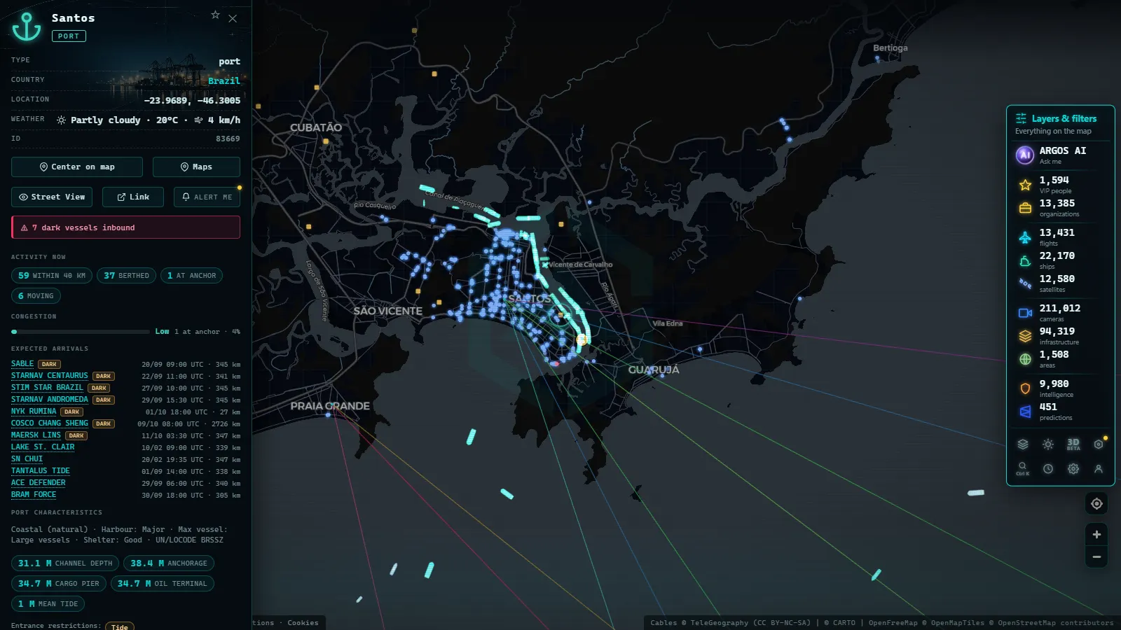
Brazil plays in its own port league, and Santos wears the crown: São Paulo's maritime gateway and the leading port of the continent, with agricultural bulk (sugar first among them) as its historic signature, plus container traffic to match. We dedicate a full guide to it, cameras included: the Port of Santos live, one of the best-covered corners of the map, with hundreds of public cameras in the area.
Paranaguá and Rio Grande complete the southern agro-export axis: when harvest season peaks, their anchorages fill with bulk carriers waiting their turn, a spectacle you can watch live on any AIS map.
From the ARGOS ATLAS channel.
The Andean Pacific: Callao, Guayaquil and Chile's ports
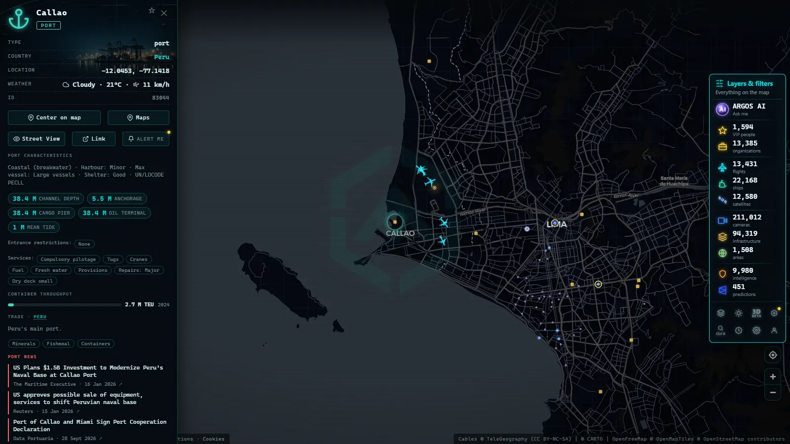
Callao, next to Lima, is the great port of South America's Pacific: containers plus the natural outlet for Peruvian minerals. Guayaquil rules Ecuador with containers and bananas. Chile splits its trade between San Antonio (today its main container port) and Valparaíso, historic and strong in export fruit.
For map watchers, this coast has a particular charm: ports wedged between ocean and mountain range, anchorages in plain sight, and a steady stream of bulkers and box ships bound for Asia and North America.
The South Atlantic and the Caribbean: Buenos Aires, Montevideo, Cartagena
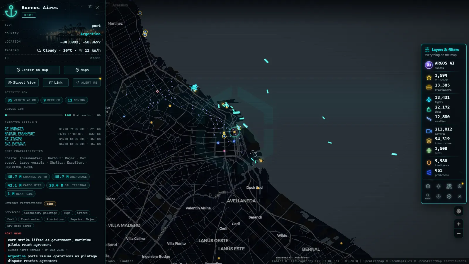
Buenos Aires concentrates Argentina's containers, with the enormous Paraná river system behind it moving the country's agribusiness. Montevideo, across the water, plays regional hub of the Río de la Plata. And in the Caribbean, Cartagena has become Colombia's hinge: a container port and major transshipment station between the lanes crossing the Panama Canal and those heading south.
For the full continental picture (including Mexico and Central America) see the guide to Latin America's main seaports; for global scale, the world's biggest ports.
Reading a port on the map, step by step
If you have never "read" a port on a live map, here is the four-step method:
- Pick the port and zoom out a little: the full picture includes the outer anchorage, not just the berths. The typical scene: a row of ships holding position offshore, and others pressed against the shoreline.
- Tell anchorage from berth: anchored ships wait, motionless and spaced apart; berthed ships sit literally against the dock. The ratio between the two is the port's health report for the day.
- Open the vessel cards: ship types tell you the port's business without reading a single report, bulk carriers off Paranaguá, container ships at Cartagena, a mix at Santos.
- Cross-check with a camera where one exists: dock cameras confirm the signal, cranes moving, an empty berth, the fog that explains why nobody is entering.
After four or five visits, the interesting patterns emerge: which port is stacking up a queue this week, when an anchorage suddenly empties, which terminal never stops, even at night.
How to watch these ports live
Everything above can be observed in real time, no sign-up required:
- Ships via AIS: every vessel broadcasts position, course and status; the ARGOS ATLAS map shows them live over each port, alongside more than 200,000 public cameras worldwide. How the signal works is explained in what is AIS.
- Anchorage queues: the cluster of stopped ships outside a port is its congestion thermometer; compare Santos with Callao on any given day and you will understand the continent's flows.
- Dock cameras: where they exist (Santos is the star case) the camera confirms what AIS suggests: berths, cranes working, a port breathing.
- The detail that hooks you: follow one bulk carrier from anchorage to berth and you get, in a single afternoon, a practical lesson in world trade.
South America's ports do not compete on size with the Asian giants, but few places show so clearly how the real economy moves: food and raw materials departing for every time zone. Open the map, pick a port from the table, and watch it work.
The full country-by-country list: every coast, not just the biggest names
A "south america ports list" usually means one thing: a single rundown with one entry per country, so nobody has to piece it together from three separate articles. The sections above already cover the ports that move the most cargo and traffic (Santos, the Andean Pacific chain, the Atlantic and Caribbean group), but a complete list also has to account for the smaller coastlines and the two countries with no coastline at all, which most rankings simply skip.
| Country | Main port(s) |
|---|---|
| Argentina | Buenos Aires |
| Bolivia | landlocked, no seaport of its own |
| Brazil | Santos, plus Paranaguá, Rio de Janeiro and Itaguaí |
| Chile | Valparaíso and San Antonio |
| Colombia | Cartagena and Buenaventura |
| Ecuador | Guayaquil |
| Guyana | Georgetown |
| Paraguay | landlocked, moves cargo by river barge to Atlantic ports |
| Peru | Callao |
| Suriname | Paramaribo |
| Uruguay | Montevideo |
| Venezuela | La Guaira and Puerto Cabello |
Two entries need context a plain list can't give. Bolivia lost its Pacific coast in the War of the Pacific (1879 to 1884) and today ships most of its trade through Chilean and Peruvian ports under treaty access, most visibly Arica. Paraguay is doubly landlocked, so its exports travel down the Paraná and Paraguay rivers by barge before ever reaching a seaport, usually in Argentina or Uruguay. Neither shows up as a dot on a coastline map, but both are part of any honest ports list because their trade still depends entirely on the ports of their neighbors.
Guyana and Suriname are the other pair a Brazil-and-Andes-focused list tends to miss. Georgetown and Paramaribo are smaller by cargo volume than Santos or Cartagena, but they are each country's only significant port, which makes them a fixed point on any country-by-country version of the list rather than an optional footnote.
For context on how these compare to the largest ports worldwide, see the world's biggest ports; for the main ports across all of Latin America rather than South America alone, see Latin America's main seaports.
Frequently asked questions
What is the biggest port in South America?
Santos, in Brazil, the maritime gateway of São Paulo and the continent's leading port. It concentrates containers and agricultural bulk, with sugar as the historic flagship of its exports.
What are the major ports of South America?
By volume and regional role: Santos, Paranaguá and Rio Grande in Brazil; Callao in Peru; Cartagena in Colombia; Guayaquil in Ecuador; San Antonio and Valparaíso in Chile; Buenos Aires in Argentina; and Montevideo in Uruguay.
Can I watch ships at these ports live?
Yes. Vessels broadcast their position via AIS and public maps show it in real time: anchorages, berths and waiting queues are all visible live, and several ports also have public cameras pointing at the docks.
Why do ships wait at anchor outside a port?
Because a berth, cargo or paperwork is not ready: the anchorage queue is the port's waiting room. Its size is a visual thermometer of port congestion at any given moment.
How do South American ports compare with the world's largest?
The world's biggest ports are in Asia, at another scale entirely. South America's are mid-sized in the global ranking but decisive in their own game: food, minerals and energy supplying half the world.
- Ceuta Live Camera: 7 Feeds & Real-Time Ship Traffic
- Strait of Gibraltar crossing operation 2026: watch it live
- MarineTraffic alternatives: what free AIS tracking really does
- Pescara Port Live: 6 Ship Types on the Adriatic AIS
- Malta ship traffic live: what crosses between Sicily and Africa
- Panama Canal Ship Traffic Live: Read Both Queues on the Map