Blog · Traffic cameras
Traffic Cameras in New Zealand: Waka Kotahi NZTA, Auckland, Wellington and Alpine Passes
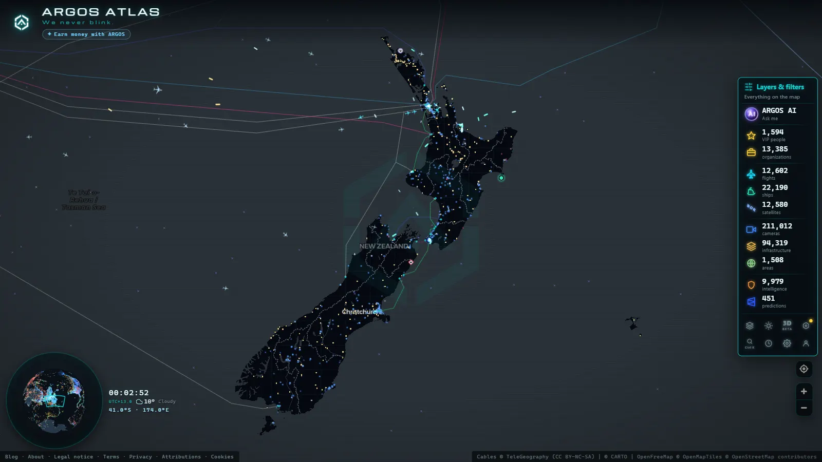
New Zealand is a country defined by geographic extremes: active volcanoes, sweeping fjords, mountain passes that cut the South Island from coast to coast, and major cities squeezed between ocean and steep hills. This dramatic landscape means that traffic cameras here serve a purpose far beyond routine urban traffic management. They are an early-warning system, a window onto conditions that can change within minutes, and an essential resource for millions of drivers and visitors navigating one of the world's most geographically challenging road networks.
The authority behind the cameras: Waka Kotahi NZTA
The New Zealand Transport Agency, officially known as Waka Kotahi NZTA (a name incorporating the Maori word for vehicle or transport) is the central government body responsible for planning, funding and operating the country's road infrastructure. Under its remit fall the State Highways, the national route network connecting every region from Northland at the top of the North Island to Invercargill at the southern tip of the South Island.
Waka Kotahi deploys traffic cameras along these routes for several purposes:
- Traffic flow monitoring: detecting congestion, measuring travel times and identifying queue formation.
- Incident management: rapid identification of crashes, landslides or road blockages.
- Weather conditions: surveillance of snow, ice, fog and wind on mountain passes.
- Public information: broadcasting real-time images so drivers can make informed route decisions before setting out.
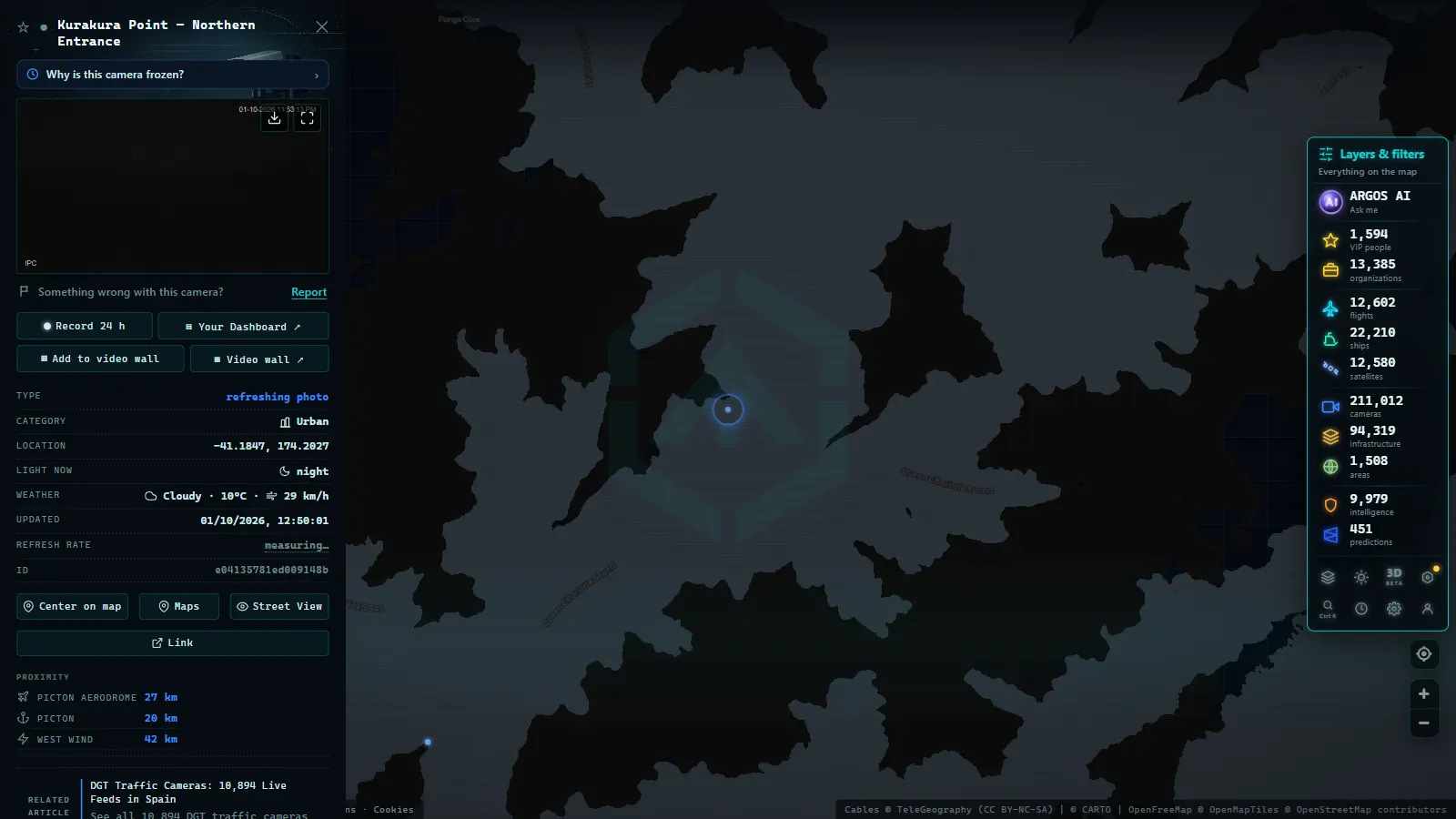
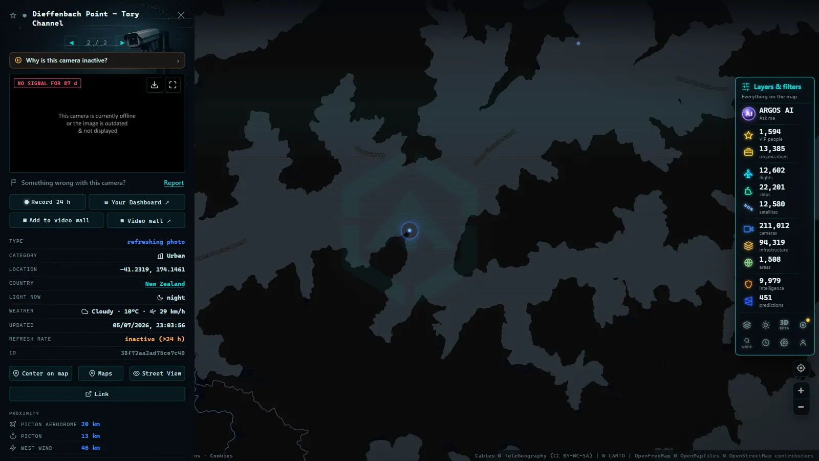
Camera images are publicly available through the official NZTA portal and, in aggregated form, through global monitoring platforms such as ARGOS ATLAS, where they can be viewed alongside flight data, vessel tracking and other live feeds on a single interactive map.
Auckland: the most complex motorway network in the South Pacific
Auckland is home to roughly a third of New Zealand's entire population, concentrated on a narrow isthmus between two harbours. This geography forces traffic into a handful of defined corridors, making Auckland's motorway network one of the most intensively monitored in Oceania.
Key motorways and their camera coverage
Auckland's road network radiates outward from the city centre along several major motorways:
- Northern Motorway (SH1 north): connects the central city with the Auckland Harbour Bridge and the North Shore. Cameras on this stretch are critical for managing the sharp traffic peaks that occur whenever incidents affect the bridge crossing.
- Southern Motorway (SH1 south): the longest corridor, leading toward Hamilton and ultimately Wellington. Cameras monitor a chain of interchanges that together carry the highest vehicle volumes in the region.
- Northwestern Motorway (SH16): links Auckland with Henderson and the west coast. Particularly valuable for detecting incidents in the corridor feeding western suburbs.
- SH20 and the Waterview Connection: the Waterview tunnel, one of the longest road tunnels in Australasia, carries internal camera coverage that enables precise incident management beneath the city.
"The Auckland Harbour Bridge is the point where north and south meet across the Waitemata. Cameras on that stretch do more than measure traffic, they are the pulse monitor for the mobility of an entire metropolitan region."
Auckland's traffic management system operates as an integrated network, with variable message signs and ramp metering coordinated in real time from a central control room that draws continuously on NZTA camera feeds.
Wellington: urban traffic between hills and tunnels
Wellington, the capital, presents an entirely different challenge. Perched at the southern tip of the North Island, hemmed in by steep hills and exposed to some of the strongest winds in the Southern Hemisphere, the city's road network is defined by a series of bottlenecks with very few alternative routes.
The capital's critical corridors
Waka Kotahi cameras in the Wellington region cover stretches of particular operational sensitivity:
- SH1 through the Hutt Valley: the main access route from the north and east, subject to periodic closures due to flooding on the valley floor.
- Mount Victoria Tunnel and Terrace Tunnel: two of the country's most significant single points of failure for urban traffic. Internal cameras in both tunnels allow rapid detection of incidents; closures here cascade almost immediately across the entire city network.
- Urban Motorway (SH1 through the CBD): the elevated section threading through central Wellington, where wind speeds can trigger restrictions on high-sided vehicles.
- Ngauranga Gorge: the descent from the north toward the harbour, a stretch where cameras allow incidents to be detected before queues extend several kilometres back.
Wellington City Council also operates its own camera network on arterial roads within the city boundary, complementing the NZTA State Highway coverage across the wider urban area.
From the ARGOS ATLAS channel.
Alpine passes: where cameras are more than information
The South Island's backbone is the Southern Alps, a continuous mountain chain running north to south that acts as a climatic barrier between the wet west coast and the drier eastern plains. Crossing this barrier means navigating one of a handful of mountain passes that, during the southern winter from June through August, can close within hours of the weather turning.
Arthur's Pass (SH73)
The busiest crossing, connecting Christchurch with the West Coast. At 920 metres above sea level, the pass receives heavy snowfall and is prone to avalanches in the surrounding valleys. NZTA cameras here are monitored constantly by freight operators, coach companies and tourism operators who need to confirm the pass is open before committing to a journey. A closed Arthur's Pass means a detour of several hours on alternative routes.
Lewis Pass (SH7)
Further north, Lewis Pass is generally the crossing least affected by snow accumulation, offering a more reliable winter route. However, its forested approach roads are vulnerable to slips and debris after heavy rainfall, and cameras covering these sections provide the earliest warning of blockages that would otherwise require physical inspection by road staff.
Lindis Pass (SH8)
Sitting in the centre of the South Island, the Lindis Pass connects Wanaka and Queenstown with Oamaru and the east coast. Despite its relatively modest elevation, the open tussock landscape makes it highly susceptible to black ice formation in winter, conditions that are nearly invisible to approaching drivers. Cameras at the Lindis are a key component of the early-warning system that can notify motorists before they enter a hazardous zone.
How ARGOS ATLAS integrates New Zealand camera feeds
ARGOS ATLAS aggregates public camera feeds from multiple countries onto a single interactive map. For New Zealand, this means that a user can, within the same interface, check current conditions at Arthur's Pass, review whether there is congestion building on the Auckland Harbour Bridge, and overlay that information with live flight arrivals at Christchurch Airport or vessel movements in Wellington Harbour.
The ability to combine traffic camera feeds with other real-time data layers makes ARGOS ATLAS particularly useful for several types of users engaging with New Zealand's road network:
- International travellers planning self-drive or campervan itineraries across the South Island, who need to assess alpine pass conditions before committing to a route.
- Freight and logistics operators managing time-sensitive deliveries between the east and west coasts when passes may be closed.
- Journalists and researchers who need to document road incidents or severe weather events in real time from a remote location.
- Geography enthusiasts and OSINT practitioners tracking mobility patterns across one of the world's most geographically isolated and varied road networks.
The climatic context: why cameras matter more in New Zealand
New Zealand experiences some of the most rapidly changing weather conditions of any country its size. Proximity to Antarctica, unobstructed Southern Ocean fronts arriving without any continental buffer, and the abrupt altitude gain of the Southern Alps combine to produce conditions that can deteriorate from clear to dangerous within a single hour. A pass that is open and dry in the morning can be closed by snow by early afternoon.
In this environment, traffic cameras are not a convenience layer added on top of basic road management. They are critical safety infrastructure. Decisions to close an alpine pass, redirect heavy freight, or issue a black ice warning depend in large part on what those cameras reveal in the moment. The Waka Kotahi network is built with this geographic reality as its core design constraint.
By integrating these feeds into a globally accessible platform, ARGOS ATLAS extends their reach well beyond New Zealand's domestic road users, making it possible for anyone anywhere in the world to understand what is actually happening on the roads of one of the planet's most remote and geographically demanding nations.
---
Explore New Zealand traffic cameras alongside feeds from dozens of other countries on ARGOS ATLAS. See also our articles on traffic cameras in Australia and traffic cameras in Japan.
Frequently asked questions
What is Waka Kotahi NZTA and how does it manage traffic cameras?
Waka Kotahi NZTA is the New Zealand Transport Agency. It operates a network of closed-circuit cameras along the State Highways to monitor traffic flow, detect incidents and provide real-time travel information to the public.
Which alpine passes in New Zealand are most heavily monitored by cameras?
The most closely monitored passes include Arthur's Pass (SH73), Lewis Pass (SH7) and Lindis Pass (SH8). These cameras are especially critical in winter, when snow and ice can close routes with little warning.
Can I view New Zealand traffic cameras from outside the country?
Yes. Waka Kotahi camera images are publicly available online. Tools like ARGOS ATLAS consolidate these feeds on an interactive map, letting you check road conditions across New Zealand from anywhere in the world.
- Live Traffic Cameras in Belgium: Wallonie, Vlaanderen and the Brussels Ring
- Live Traffic Cameras in Japan: NEXCO Expressways, National Police Agency and Road Sensors
- Traffic Cameras in the Netherlands: Rijkswaterstaat, A1, A2, A4 and the Amsterdam and Rotterdam Networks
- Live Traffic Cameras in Portugal: Brisa, Infraestruturas de Portugal and the A1 Motorway
- Live Traffic Cameras in Switzerland: Alpine Passes, ASTRA and Road Conditions
- Live Traffic Cameras: How to Monitor Global Road Conditions