Blog · Traffic cameras
Chicago Traffic Cameras: 1,114 Live Views on One Map
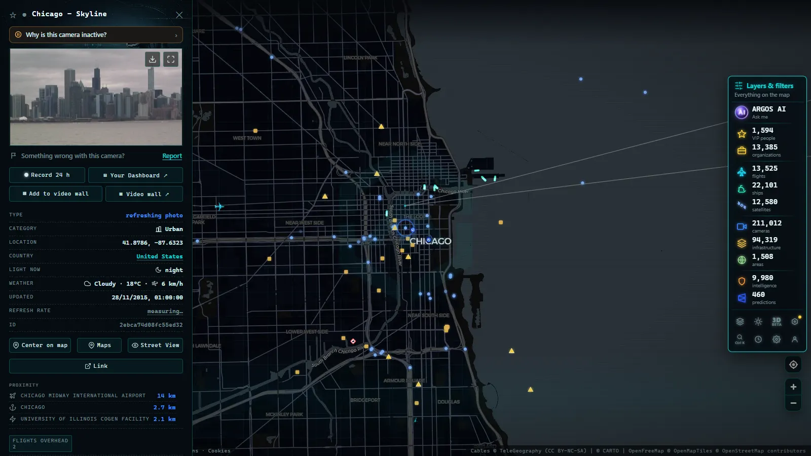
Every city has expressways. Chicago has characters. Nobody here says I-90/94, they say the Ryan, or the Kennedy, and the two are the same interstate number doing completely different jobs on opposite sides of downtown. The Ike, the Stevenson, the Edens: these are names with reputations attached, and if you can't map the name to the asphalt, half the traffic information in this city is useless to you.
Which is exactly why cameras beat colours here. The ARGOS ATLAS map plots 1,114 public cameras in the Chicago metropolitan area (count on the map as of August 2026), and statewide the Illinois Department of Transportation alone runs 2,146 cameras across Illinois. This guide is about reading them the way a local would: by expressway, by segment, and with an eye on the two things that reliably break this city's commute, the lake in winter and the orange barrels in summer.
Why Chicago traffic cameras reward local knowledge
The Chicago expressway system is radial. Everything converges on downtown, which means a problem near the centre doesn't stay near the centre: it climbs outward along whichever spoke feeds it. A crash on the inbound Kennedy at rush hour is felt on the Edens within minutes, because the Edens pours into the Kennedy and has nowhere else to go.
That structure is what makes a full map worth more than any single feed. The useful question is almost never "is the Ryan backed up?" It's "is the Ryan worse than the Stevenson right now, and where does the backup start?" Two cameras answer that. One camera just gives you a photograph.
The cameras themselves are ordinary traffic-management hardware: mounted high, wide shot of the roadway, resolution good enough to count lanes and read a queue but not to identify a car or a person. No audio, no public zoom control. Public, because the information is useful to everyone on the road.
The 1,114 Chicago expressway cameras, road by road
Here's the system as the cameras see it.
| Expressway | Segment it runs | What to watch for |
|---|---|---|
| Dan Ryan (I-90/94) | South from downtown | Local and express lane splits; the classic southbound afternoon build |
| Kennedy (I-90) | Northwest from downtown toward O'Hare | The reversible express lanes, which way they're running changes everything |
| Eisenhower (I-290) | Straight west from downtown | A narrow, older corridor where one incident fills the whole road |
| Stevenson (I-55) | Southwest toward the interstate corridor | Heavy truck traffic; the freight pulse of the region |
| Edens (I-94) | North from the Kennedy split toward the suburbs | Feeds directly into the Kennedy, so it inherits every problem downstream |
| Lake Shore Drive | Along the lakefront, north–south | Weather off the lake, event traffic, and the most scenic camera views in the city |
| The Loop and approaches | Downtown street grid and ramps | Where the expressways end and the real bottleneck often begins |
The distribution is telling. Camera density is highest on the inner segments of each spoke, the stretches inside the city where the most vehicles are affected by the fewest metres of pavement. As each expressway runs out into the suburbs, the spacing widens and the cameras start marking interchanges rather than continuous coverage.
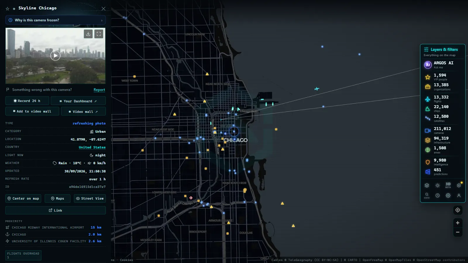
Reading the Dan Ryan and the Kennedy properly
These two deserve their own section because they're the ones people check most and misread most often.
The Dan Ryan runs local and express lanes side by side. The single most useful thing a camera tells you here is which set is broken, because a navigation app will frequently average them into one unhelpful orange line. If the express lanes are stopped and the locals are moving, that's a completely different afternoon than the reverse.
The Kennedy has reversible express lanes down the middle, and their direction changes with the commute. A camera showing you the mainline is only half the story: knowing whether the reversibles are running your way, and whether they're actually flowing, is the difference between a normal drive to O'Hare and missing a flight. It's also the corridor where a camera pays for itself most obviously, because the alternatives are slow surface streets.
The Eisenhower is the narrow one. Older design, less room, fewer escape routes. When the Ike goes, it goes completely, and the cameras tend to show a solid, stationary road rather than a slow one.
A useful habit borrowed from our guide to watching traffic live in real time: read the camera upstream of where you think the problem is, not at the problem itself. The upstream view tells you how far the queue has already grown.
From the ARGOS ATLAS channel.
IDOT cameras and the rest of Illinois
Zoom out from the metro area and the picture changes. IDOT's 2,146 cameras cover the whole state, but Illinois outside Chicagoland is a different driving environment: long interstate runs, agricultural country, fewer and further-apart views, and weather as the main reason to look.
The value inverts, exactly as it does in every large state. In the city a camera saves you fifteen minutes. Downstate a camera tells you whether a route is passable in freezing rain or blowing snow across open ground, the kind of decision where a single frame is worth more than any forecast.
If you want the national picture of how each state's DOT publishes this material, the overview of US traffic cameras explains why the styles differ so much from one border to the next. New York and California are useful contrasts: 511NY cameras show a network built around bridges and tunnels, while California's traffic cameras are built around distance and fire season.
Lake Michigan winter, seen from a camera
Chicago's winter has a specific personality, and the lake is responsible for most of it. Snow coming across the water can hit unevenly, dumping on one part of the metro area while another stays dry. Wind off the lake pushes snow across open expressway segments and cuts visibility on Lake Shore Drive in ways that no regional forecast captures.
This is where a camera does something no app can: it shows you the road surface. Bare and wet is a normal commute. Slush is slow. Snow-covered with tyre tracks means people are getting through carefully. Snow-covered with no tracks means nobody is, and you shouldn't be first.
Two honest caveats. Lenses ice up and get plastered with road spray, so in the worst conditions the image can be a white smear that tells you about the weather and nothing about the pavement. And at night the low-light images show headlights and general flow, not surface state, useful, but a weaker signal than daytime.
Construction season, the fifth season
Chicagoans joke that the year has five seasons and one of them is construction. It's a joke with a real operational meaning: from spring through autumn, lane closures and reconstruction projects reshape the expressway system, and the pattern changes week to week.
Cameras handle this better than schedules do. A published closure tells you what's planned; a camera tells you what's actually up right now, whether the barrels are out, whether the closure started early or ran long, whether the lane reduction is where the sign said it would be. On a system as tightly coupled as Chicago's, a single lane taken out of an inbound expressway at the wrong hour is enough to change everyone's route.
What Chicago's traffic cameras can't do
The limits, stated plainly, because they're what make the rest trustworthy:
- They're stills, not live video. Frequent refresh, but not a continuous stream. Fine for decisions, useless for watching an incident develop.
- You can't move them. No public pan, tilt or zoom. Some views point somewhere less useful than you'd like and stay that way.
- They don't cover the surface streets evenly. The expressway system is well covered; the grid between them is not.
- They break. Frozen frames, offline feeds, obstructed views. Check the timestamp before you trust anything.
- They are not enforcement cameras. Different systems, different resolution, different rules entirely.
Watching Chicago on one live map
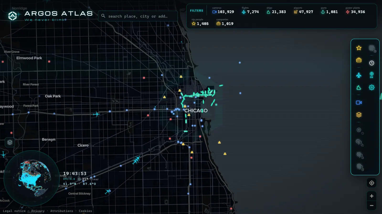
Open the ARGOS ATLAS map over Chicago and the expressway system draws itself: a set of spokes radiating from the Loop, the lake edge picked out by Lake Shore Drive, and camera markers thickening as you approach downtown. Click one and you get its latest frame and a timestamp, check the timestamp first, always.
There's one extra layer worth switching on here. According to ACI World, O'Hare is the world's number one airport by aircraft movements, more takeoffs and landings than anywhere else. Turn on the live flight layer over the same view and you can watch that traffic stacked above the Kennedy while you check whether the road below it is moving. On a snow day, the two pictures are the same story told twice.
Chicago's roads are famously opinionated, and its camera network is unusually good at showing you why. Open the map, find the expressway you actually drive, learn its two or three key cameras, and you'll stop guessing which spoke is broken today.
What "Chicago traffic cameras" actually covers
"Chicago traffic cameras" is a broader term than it looks, and it usually points to three different things at once. The live expressway feeds described above (public views anyone can watch, showing real-time traffic flow on the Dan Ryan, the Kennedy, and the rest of the system) are one part, and the one this map is built around. Red light and speed cameras, run by the City of Chicago's automated enforcement program, are a separate system entirely: they exist to issue tickets, not to broadcast video, and their images are never published as a live feed. If the search that brought you here was really about whether a specific intersection has a red light camera, or about watching that camera's view, the honest answer is that you can't: enforcement cameras stay inside the city's ticketing pipeline and never reach a public screen.
A third category sits in between: cameras run by TV stations, universities, or businesses near major roads, which sometimes get mistaken for official traffic feeds because a highway happens to be in the background. Those belong to whoever installed them, live on their own site if anywhere, and aren't part of any public traffic system.
| Camera type | Who runs it | Public live feed? | On this map |
|---|---|---|---|
| Expressway traffic cameras | IDOT | Yes | Yes |
| Red light / speed cameras | City of Chicago | No | No |
| News or private cameras near roads | TV stations, businesses | Sometimes, on their own site | No |
For drivers who just want to check conditions before leaving, this distinction matters less than it sounds: the expressway feeds are the entire public offering, and there is no separate archive or portal hiding a fuller picture. What you see on the map is what exists. The same split between "public traffic camera" and "enforcement camera" holds in most large US cities, not just Chicago, which is worth knowing if a search that started here ends up pointing you toward traffic cameras elsewhere in the country or toward the rest of Illinois's IDOT network beyond the city limits.
Frequently asked questions
How many traffic cameras are there in Chicago?
The ARGOS ATLAS map plots 1,114 public cameras in the Chicago metropolitan area (count on the map as of August 2026). Across the whole of Illinois, the state transportation department alone accounts for 2,146 cameras, most of them along interstates and major state routes.
What are IDOT cameras?
IDOT is the Illinois Department of Transportation, which operates the state's highway camera network. Its cameras cover the interstates and major routes statewide, with by far the heaviest concentration on the Chicago-area expressway system where a single incident affects the most people.
Which Chicago expressways have cameras?
All the major ones: the Dan Ryan (I-90/94), the Kennedy (I-90), the Eisenhower (I-290), the Stevenson (I-55) and the Edens (I-94), plus Lake Shore Drive and the approaches into the Loop. Coverage is dense enough on the core expressways to follow a backup from one camera to the next.
Are Chicago traffic cameras free to watch live without signing up?
Yes. They are public feeds funded by state and local agencies, free to view and with no account required on aggregator maps. Most publish still images that refresh frequently rather than continuous video, which is all you need to judge a route.
Can these cameras be used to give me a ticket?
No. Traffic-management cameras show wide, low-resolution views of the roadway so operators can see flow and conditions. Speed cameras, red-light cameras and tolling systems are separate networks with different hardware and their own legal rules.
- Miami Traffic Cameras: 928 Live Views of I-95 and Beyond
- Andalusia Traffic Cameras: 1,246 Live Cameras on One Map
- Michigan Traffic Cameras: MDOT's Live Feed on One Map
- Jakarta Traffic Cameras Live, on a Map
- Utah Traffic Cameras UDOT: Live on a Map
- Milan Traffic Cameras Live: 2 Airports, 1 Plant, 0 City Cams