Blog · Traffic cameras
Miami Traffic Cameras: 928 Live Views of I-95 and Beyond
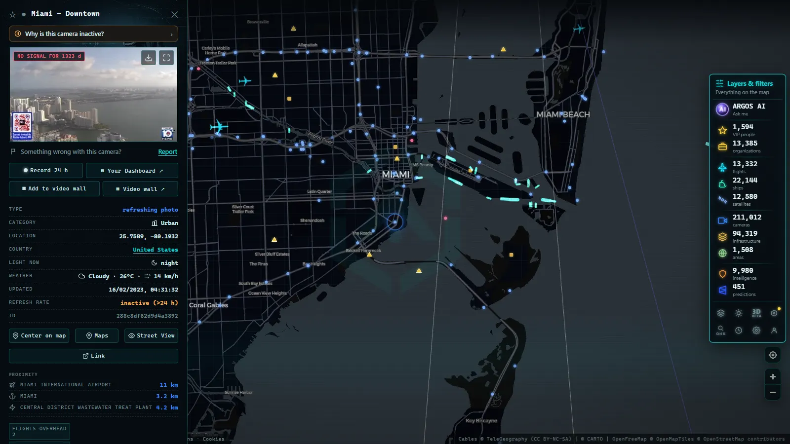
Miami has two traffic realities. There is the everyday one, where I-95 and the Palmetto decide whether a twenty-minute drive takes fifty. And there is the seasonal one, where the same road network becomes an evacuation system and everybody wants to know what the causeways look like right now. Public cameras cover both, and there are far more of them than most residents realise: the ARGOS ATLAS map holds 928 public cameras in the Miami area (map count, August 2026), part of roughly 5,700 across Florida.
That is one of the densest traffic camera networks in the United States, and it exists for a specific reason, a state that runs on tourism, freight and hurricane preparedness has every incentive to let people see its roads. This guide covers who publishes what, which corridors matter, and how to use the cameras in August, when the peak of the Atlantic hurricane season overlaps with an ordinary Miami rush hour.
The essentials, in 20 seconds
- 928 public cameras: the ARGOS ATLAS map counts 928 in the Miami area, part of roughly 5,700 across Florida.
- FL511: Florida's Department of Transportation feeds the state's traveler information system, the backbone behind most Miami feeds.
- I-95, the Palmetto and the Dolphin: the three expressways the network is built around, plus the causeways to Miami Beach.
- Images, not video: cameras publish refreshed stills on a cycle, not continuous footage, with no faces or plates.
- Not enforcement: nothing openly viewable on the map issues a citation.
Who runs Miami's traffic cameras
The backbone is the Florida Department of Transportation, whose cameras feed the state's FL511 traveler information system. FL511 is the public face of the state DOT's traffic management centres: cameras, incident reports, travel times and construction notices, all under one number and one brand. Miami-Dade sits in one of the busiest of those districts.
Around that backbone there are other operators. Expressway and toll authorities run cameras on the roads they manage, county and municipal agencies cover major arterials and bridges, and there are seaport and airport approaches with their own equipment. Each operator has its own image format, its own refresh rate and its own naming convention, which is exactly the problem an aggregator solves. For the statewide picture (the Keys, Tampa, Orlando, the panhandle) start with our guide to traffic cameras in Florida.
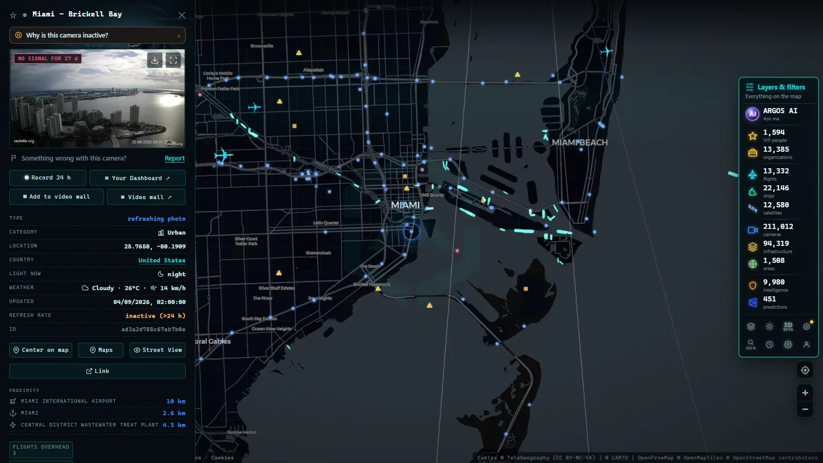
Miami traffic cameras by expressway
Local knowledge in Miami is expressway knowledge. These are the corridors the camera network is built around:
| Corridor | What it covers | Why you check it |
|---|---|---|
| I-95 | The north-south spine, downtown to Broward and beyond | The default commute, and the road that fails most often |
| Palmetto Expressway (SR-826) | The western orbital through the suburbs | The bypass everyone uses when I-95 breaks; it breaks too |
| Dolphin Expressway (SR-836) | The east-west link from the airport to downtown | Airport runs, and the connection between the two big spines |
| Florida's Turnpike | The long-distance toll route north and west | Getting out of South Florida entirely, evacuations included |
| I-395 and the MacArthur Causeway | Downtown across to Miami Beach | The beach access that turns into a car park on event weekends |
| County and city arterials | Big surface roads, bridges and drawbridges | Where local trips actually get stuck |
Two patterns are worth internalising. First, the network is redundant on paper and not in practice: I-95, the Palmetto and the Turnpike are alternatives to each other only until the moment one of them closes, at which point the other two absorb the overflow and slow down too. Second, everything east-west funnels through water crossings, so a causeway or a drawbridge can hold up a whole afternoon.
That second point deserves more attention than it usually gets. Getting to Miami Beach means crossing water, and there are only so many ways to do it. A camera on the causeway approach tells you in one glance whether the crossing is moving, which is information no travel-time estimate really conveys, because a drawbridge opening is a binary event, not a gradual slowdown. The same logic applies on the Miami River drawbridges downtown and on the smaller crossings north and south of the centre. Event weekends amplify all of it: a big concert, a race weekend, a cruise turnaround or a holiday on the sand can put a normal Tuesday's worth of traffic onto a single causeway in an hour.
From the ARGOS ATLAS channel.
The I-95 problem, and how cameras help
Peak hour on I-95 through Miami-Dade is less an hour than a condition. Volume alone would be manageable; what breaks the corridor is incidents, a stalled vehicle in a travel lane, an afternoon downpour, construction that shifts lanes overnight. This is precisely where a camera beats a routing app.
The app tells you the corridor is red. The camera tells you why it is red, and that determines what you should do:
- A crash with lanes blocked means the delay will persist well after the vehicles are cleared. Leave the corridor early.
- Standing water after a downpour clears fast in Miami. Waiting fifteen minutes often beats a five-mile detour.
- Slow-but-moving density with no visible incident is just volume. The alternate route will be full too.
- Construction cones and a lane shift means today's delay is tomorrow's delay as well. Change your habit, not your route.
Check the timestamp before you trust the frame. A camera that stopped updating twenty minutes ago is showing you the past, and on I-95 twenty minutes is a different world.
Hurricane season: the cameras that matter from August to October
August through October is the peak of the Atlantic hurricane season, and in South Florida the traffic camera network quietly becomes a weather-observation network. It was never designed for that, which is part of why it works: hundreds of fixed cameras at known locations, all publishing timestamped images, spread along exactly the roads that matter when a storm approaches.
There are three distinct moments, and the cameras are useful in different ways in each:
- Before. Watch the outbound corridors (the Turnpike, I-95 northbound, the routes out of the Keys) to see whether evacuation traffic has started building. Camera images show you the real state of the shoulder and the queue, not a colour on a map.
- During. Expect degradation. Wind shakes the poles, rain wrecks visibility, and power cuts and comms failures take cameras offline in exactly the areas being hit hardest. Cameras dropping out in a cluster is itself a signal about where conditions are worst, but do not treat it as a measurement, and never go out to check something you saw on a camera.
- After. This is the most valuable phase and the least discussed. Cameras show flooded underpasses, debris on carriageways, signals out at big junctions and which causeways are actually passable, often before any official reopening notice.
For the storm-tracking side of it (coastal cams, beach views and how to combine them with a forecast) we have a dedicated guide to hurricane live cameras, and the Caribbean coast webcams round-up covers the water side of the same weather.
What Miami traffic cameras cannot do
The honest limits, so you know what you are looking at:
- They are images, not video. Most publish stills that refresh on a cycle. For judging traffic that is enough; for watching an event unfold second by second it is not.
- They go down. Maintenance, construction, power cuts, hurricanes. Any camera count, including ours, is a snapshot of a moving number.
- They are deliberately low-detail. Wide shots of the roadway, no faces, no plates. Traffic-management imagery is published precisely because it is not identifying anyone.
- They are not enforcement. Nothing you can watch openly is issuing a citation, and no enforcement system publishes a live feed.
- Coverage is not uniform. The expressway network is saturated; smaller surface streets, the agricultural west and stretches of the Keys are far thinner. If your trip stays off the numbered routes, expect to be flying blind for most of it.
Watching Miami traffic cameras live on the map
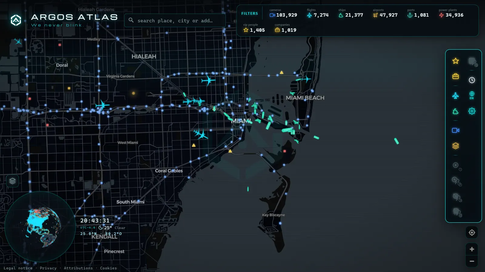
Open the ARGOS ATLAS map, centre it on Miami-Dade, and the 928 cameras arrange themselves along the geography you already know: the I-95 spine, the Palmetto arc to the west, the Dolphin cutting east from the airport, and the causeways stitching the mainland to the barrier islands. Click a marker for the latest frame and its timestamp.
The advantage of an aggregator here is that Miami's cameras are not all from one agency and you should not have to care. State, county and authority cameras appear side by side, and when your trip continues north into Broward or west along the Turnpike, the coverage simply continues. The other live layers help too (flights into the Miami airports, ships and cruise traffic off the port) which in hurricane week tells you as much about how the region is coping as the roads do.
If you want the national frame, our overview of traffic cameras in the United States explains how each state's system differs and why Florida is at the generous end of the scale.
Next time the corridor turns red, or the forecast cone edges towards South Florida, open the map, pick three cameras along your route and look before you leave. It takes thirty seconds and it beats guessing.
Frequently asked questions
Who operates the traffic cameras in Miami?
Most of them belong to the Florida Department of Transportation and are published through the state's FL511 traveler information system. County and expressway authorities add their own cameras on the toll roads and local arterials, which is why a single map ends up mixing several operators.
How many traffic cameras are there in Miami?
The ARGOS ATLAS map holds 928 public cameras in the Miami area (map count, August 2026), out of roughly 5,700 across the state of Florida. That density is why almost any point on the main expressway network has a camera within a mile or two.
Can I use traffic cameras during a hurricane?
Before and after a storm, yes, and they are genuinely useful for seeing road conditions, standing water and evacuation traffic with your own eyes. During the worst of it expect gaps: power cuts and comms failures take cameras offline exactly when the weather is at its most extreme.
Are Miami traffic cameras free and available without registration?
Yes. They are public information cameras funded as part of traffic management, and an aggregator map lets you browse them with no account and no cost, alongside the rest of Florida and the United States.
Are these the same as red light or speed cameras?
No. Traffic-management cameras show wide views of the roadway so operators and drivers can judge flow, and their images are not used for enforcement. Red light and speed enforcement systems are separate, are not published live, and follow their own rules.
- Andalusia Traffic Cameras: 1,246 Live Cameras on One Map
- Michigan Traffic Cameras: MDOT's Live Feed on One Map
- Jakarta Traffic Cameras Live, on a Map
- Utah Traffic Cameras UDOT: Live on a Map
- Milan Traffic Cameras Live: 2 Airports, 1 Plant, 0 City Cams
- Naples Traffic Cameras Live: What You Can Really Watch