Blog · Traffic cameras
Utah Traffic Cameras UDOT: Live on a Map
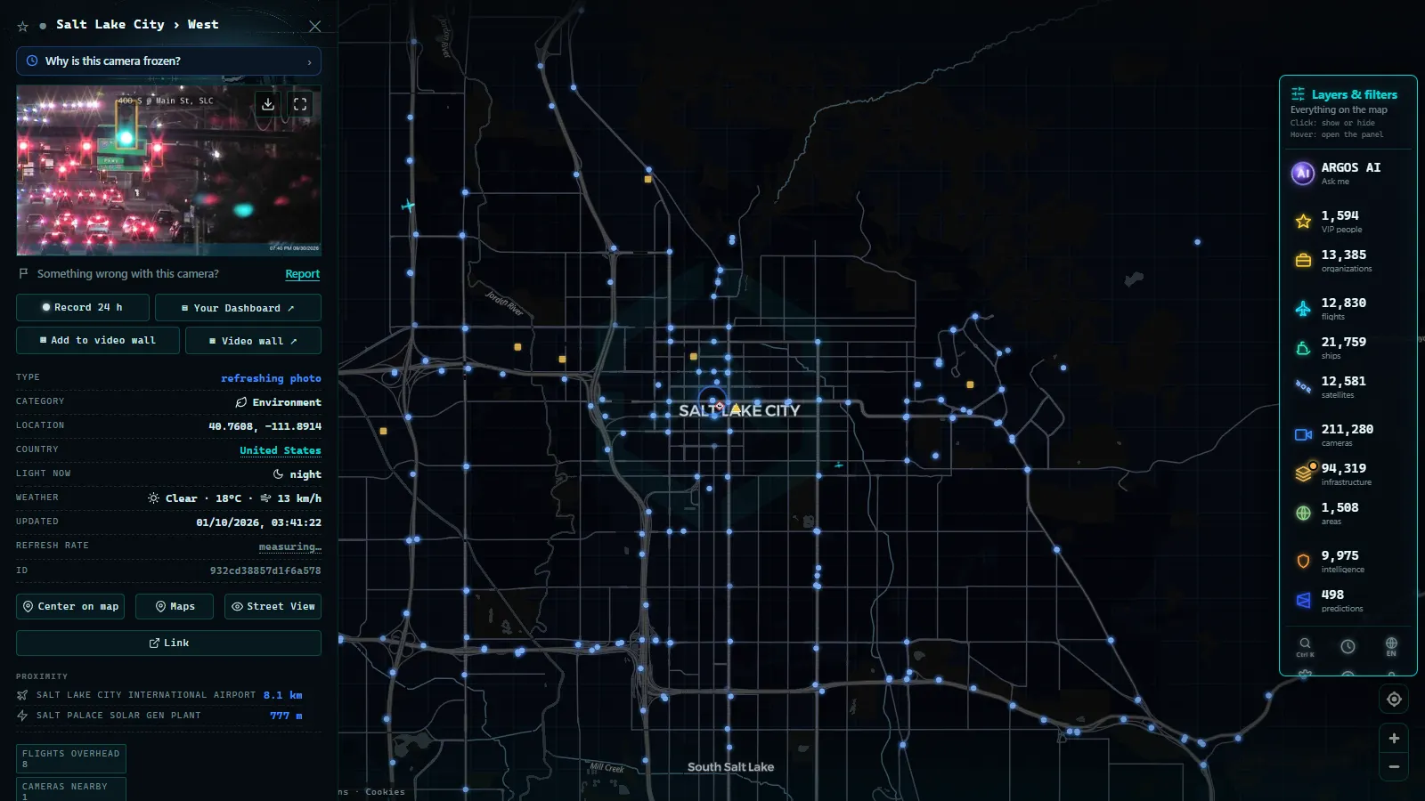
Ask two drivers in Utah what a traffic camera is for and you get two different answers. In Salt Lake City the answer is queue length: is I-15 stacked at the downtown ramps, is I-80 moving past the airport, should I take Redwood Road instead. Forty minutes up a canyon the answer is simpler and a lot more serious. Is there anything on the pavement, and is anyone moving on it.
That second question is the one no forecast answers honestly. A storm total tells you how much snow fell somewhere in a drainage. A camera pointed at the asphalt tells you what is on the asphalt now. From late autumn through spring, the camera feeds published by the Utah Department of Transportation are the most practical public data the state puts out, and they are worth knowing how to read before the first real storm.
What UDOT publishes, and what we can honestly count
UDOT runs the state's traffic operations centre, and the cameras exist to serve it: verifying incidents, watching queues build, deciding where plows go, giving avalanche crews eyes on a slide path before they close a road. Public viewing is a byproduct of an operational tool, which is why the images look the way they do (wide, low resolution, refreshing on their own schedule) and why they occasionally swing away from the road while an operator looks at something else.
Here is the part where we are going to disappoint anyone who wants a headline figure. We do not have a verified Utah camera count tonight. Our measured numbers cover the catalogue as a whole (200,000+ cameras, count as of September 2026) and a handful of individual metropolitan zones, and Utah is not one of the zones we have audited. Hundreds of UDOT views are reachable from the map, but we would rather say "hundreds" than publish a precise number we cannot stand behind. The useful thing is not the total anyway: it is the distribution, because where the cameras sit tells you what they were built to answer.
The Wasatch Front holds most of the Utah traffic cameras UDOT runs
Roughly eight in ten Utahns live in the strip between Ogden and Provo, and the camera network reflects that without apology. The densest coverage sits on I-15 through Salt Lake County, on I-80 across the valley toward the airport and up into Parleys, on I-215 around both sides of the belt, and on the surface arterials that absorb the overflow when the interstate stops: SR-201, Bangerter Highway, State Street, Redwood Road.
Urban cameras are a commodity. They are useful for the same reason they are everywhere: seeing three consecutive views of stopped traffic is more informative than a colour-coded line on a map, because you can tell the difference between heavy volume and a lane blocked by a crash. If you want the wider context of how American state DOTs publish this material, we covered the whole picture in our guide to traffic cameras across the United States, and the comparison with a much larger network is instructive in our piece on California's traffic camera coverage.
The mountain cameras are the ones you cannot replace with anything else.
Corridor by corridor: where the Utah traffic cameras UDOT publishes actually point
Think of the network as two populations. One watches congestion in a valley. The other watches a decision point: a canyon mouth, a summit, a junction where the last exit before commitment sits. The table below is the mental map we use before a drive.
| Corridor | Roads with camera coverage | What you are checking for | When it matters most |
|---|---|---|---|
| Salt Lake urban core | I-15, I-80, I-215, SR-201, Bangerter | Queue length, blocked lanes, ramp backup | Weekday peaks, first snow of the season |
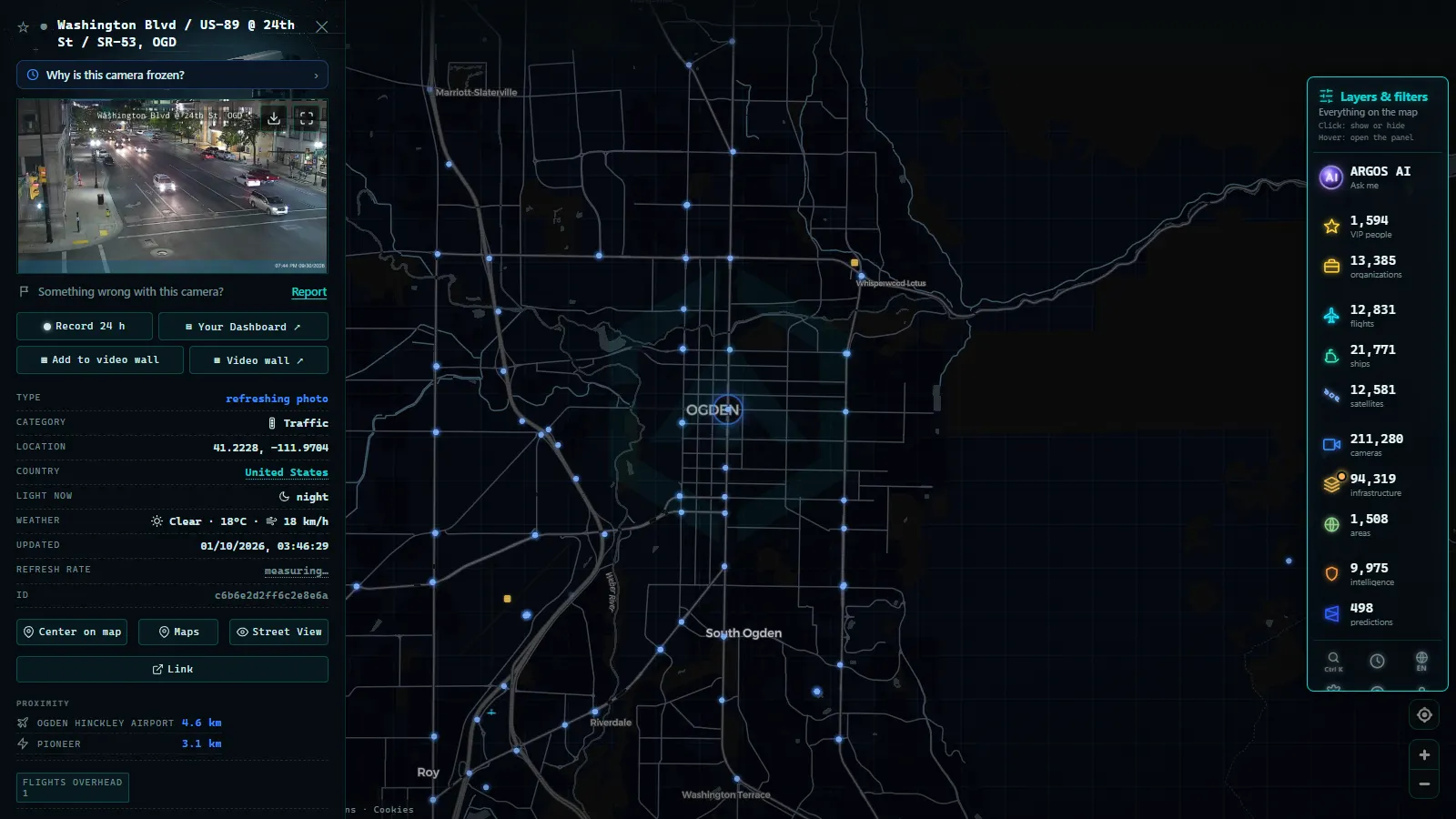
| Davis and Weber (Ogden) | I-15 north, I-84, US-89 | Commuter volume, wind and drifting on the open stretches | Morning peak, winter storms off the lake |
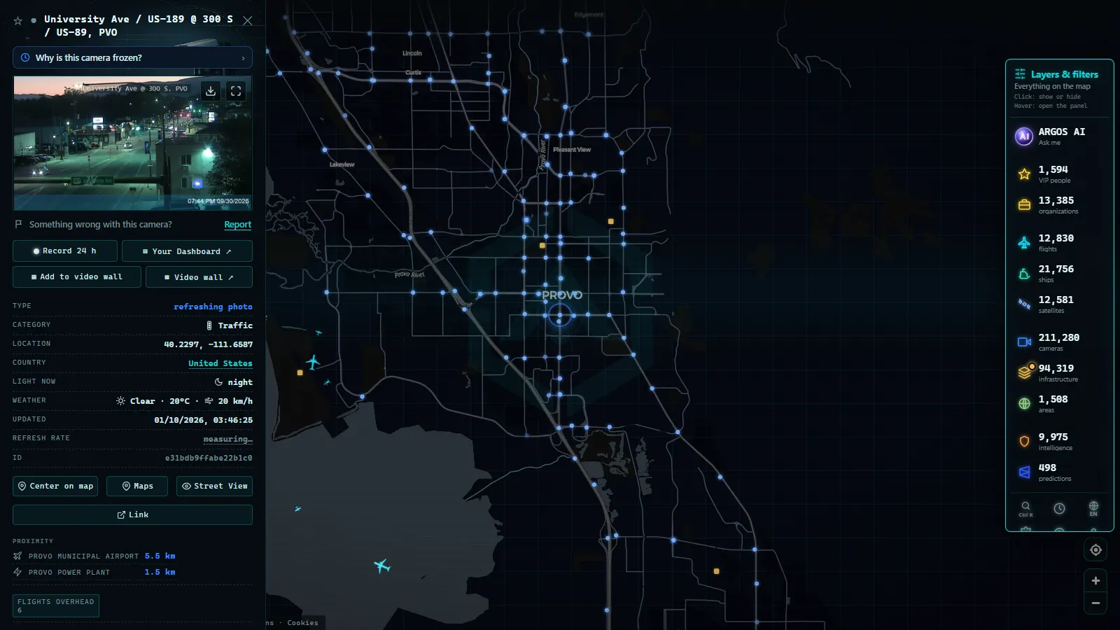
| Utah County (Provo, Orem) | I-15 south, US-189 approach | Volume through the Point of the Mountain, incident backup | Weekday peaks, Friday afternoons |
| Cottonwood canyons | SR-210 (Little Cottonwood), SR-190 (Big Cottonwood) | Snow on pavement, traction conditions, queue at the mouth | Storm mornings and powder days |
| Parleys and I-80 east | I-80 over the summit toward Park City | Wind, drifting, chain-up conditions, summit visibility | Any winter storm, holiday weekends |
| Provo Canyon and Alpine Loop | US-189, SR-92 | Canyon surface, seasonal gate status | Winter storms, autumn colour traffic |
| US-6 to Price | US-6 over Soldier Summit | Summit surface, truck traffic, wind | Winter storms, freight-heavy weekdays |
| Southern Utah | I-70, I-15 south, SR-9 toward Zion | Long-gap coverage, storm crossing the plateau | Winter crossings, holiday travel |
The pattern is deliberate. Urban cameras are spaced to show a corridor continuously. Mountain cameras are placed where a driver still has a choice: the canyon mouth, the last junction, the summit itself. That is why three canyon cameras are worth more than thirty valley ones on a February morning.
From the ARGOS ATLAS channel.
Why the mountain pass cameras beat the forecast in winter
Utah's snow arrives in narrow, violent bands. Little Cottonwood can be in a whiteout while downtown Salt Lake, a short drive away, is dry. A regional forecast cannot resolve that. A camera can.
The canyons also run on rules that make the visual check non-optional. Traction restrictions get imposed and lifted on the timescale of a storm cell. Avalanche mitigation closes SR-210 and SR-190 with no fixed schedule, because it depends on when crews can shoot and when the slide paths settle. Guests at the top of Little Cottonwood are occasionally held indoors during control work. None of that is on a calendar, and all of it changes what the camera at the canyon mouth shows: a plowed empty road, a line of stopped cars, or nothing at all because the frame is white.
The practical reading is layered. Look at the surface first: wet black asphalt, packed white, or tracks in fresh snow. Look at the vehicles second: are they moving, are they queued, is anyone in the picture at all. Look at the timestamp third, because a fifteen-minute-old frame during a storm is ancient. Then look at a second camera further up the same corridor, because conditions at the mouth and conditions at the top routinely disagree by a full category. We wrote a broader guide to this habit in our piece on mountain pass cameras and reading snow on the road, and the method transfers to any range.
What these cameras will not tell you
Honesty is the point of this site, so here is the list of things people expect and do not get.
They are not video. Most public traffic views are still images refreshed on the operator's cadence, so you are looking at a recent moment, not a live one. They are not archives: the public feed gives you the current frame and nothing from yesterday. They will not identify anything, because plates and faces are not legible at these angles and resolutions.
They also fail in exactly the conditions you need them. A snow-covered dome shows a grey rectangle. A canyon camera with no roadway lighting shows black from dusk to dawn unless there is a plow with its lights on. Power and communications outages during a storm take sites offline, and an operator panning a camera toward a crash leaves you looking at a guardrail. If a view is stale or dead, that is normal behaviour rather than a bug, and we broke down the causes and the workarounds in our article on why a traffic camera stops working.
One more limitation worth stating plainly: a camera never tells you the legal status of a road. A gate closes faster than an image changes. Use the camera for surface and traffic, and the official closure notice for whether you are allowed to drive it.
How to open the Utah cameras on the map
On the ARGOS ATLAS live map the cameras are one layer among many, so the workflow is geographic rather than administrative. Pan to the Wasatch Front, zoom until individual markers separate out of the clusters, and click one: the panel opens with the current image and the publishing source, so you always know whose camera you are looking at. There is no account, no trial and no limit on how many you open.
A canyon check takes about three minutes. Start at the mouth of the corridor you are driving, open the next camera uphill, then the one nearest the summit or the resort. Three frames in sequence tell you whether the storm is above you, on you, or already past. If the top camera is dark or frozen, fall back to the highest one that still returns an image and treat the gap above it as unknown rather than clear. That single discipline, refusing to fill a gap with optimism, is what separates a useful camera check from a reassuring one.
Is Utah's UDOT traffic camera feed live video, or a refreshed still image?
Every camera behind UDOT's system, known internally as CommuterLink, is a still image, not a live video stream. The image on the map is a snapshot pulled from the roadside unit and swapped out on a short refresh cycle, so what looks like a live feed is really a fast slideshow of the same fixed frame. That distinction matters for anyone trying to judge a fast moving situation: a crash that clears in ninety seconds, or a snow squall that rolls through a canyon and out again, can happen entirely between two refreshes and never show up in the image you are looking at.
This is also why the cameras work best as a confirmation tool, not a monitoring tool. Checking a still image right before you leave the house, right before you merge onto the canyon road, or right before you commit to a mountain pass gives you a snapshot of conditions from the last few minutes, which is usually enough. Watching the same camera for ten minutes hoping to see traffic build or clear in real time is not what the system is built for, and it will often just show the same static scene refreshing on a loop.
The practical habit that gets the most out of this: pull the specific camera for the segment you are about to drive, not a wide corridor view, right before you commit to that road. A still image of the exact curve or canyon mouth you are worried about tells you more than a general glance at the whole route. For drivers checking conditions outside Utah too, the same still-image logic applies across state DOT systems; see how it plays out nationally in our roundup of US traffic cameras.
None of this replaces UDOT's own alerts for closures or chain requirements, which are pushed separately from the camera feed and can lag behind or lead what the image shows. Cameras confirm what an alert already told you; they rarely substitute for one.
Frequently asked questions
Is this free, live and available without registration?
Yes. The camera views are public images published by the road authorities themselves, and on our map they open without an account, a trial or a paywall. You click a camera marker and the current image loads. What you are seeing is a still that refreshes on the operator's own schedule rather than continuous streaming video, so treat the timestamp on the frame as the real answer to how live it is.
How many traffic cameras does UDOT operate in Utah?
We are not going to give you a number we have not measured. Our verified counts cover the map as a whole (200,000+ cameras, count as of September 2026) and a set of specific metropolitan zones, and Utah is not one of the zones we have counted. What we can say with confidence is that coverage is dense along the Wasatch Front and deliberately concentrated at the decision points of every mountain corridor.
Can a UDOT camera tell me whether a canyon road is open?
It can tell you what the pavement looks like and whether traffic is moving, which is usually the honest version of the question. It cannot tell you about a closure that has just been ordered, because a gate closing does not change the picture instantly. Use the camera for road surface and traffic, and the official closure notice for the legal status of the road.
Why is a Utah camera showing a black or frozen image?
The most common causes are night with no roadway lighting, snow or ice on the dome, a power or communications outage at the site, and the camera being panned by an operator toward an incident. Storms take cameras down exactly when you want them most. If the frame is stale, check a neighbouring camera on the same corridor before assuming the road is clear.
Do these cameras record or read licence plates?
The public traffic views are wide-angle images intended to show flow and road surface, not identification. At the distances and resolutions involved, plates and faces are not legible, and the public feeds are not archives: you get the current frame, not yesterday's. Enforcement systems are a separate category of equipment with separate rules.
- Milan Traffic Cameras Live: 2 Airports, 1 Plant, 0 City Cams
- Naples Traffic Cameras Live: What You Can Really Watch
- Palermo live cameras and port: ferries, cruises and flights
- Turin Traffic Cameras: the 3 Roads That Decide Your Trip
- Bologna traffic cameras: A1, A14 and Marconi airport
- Bari traffic cameras: the 3 ways into the city, live