Blog · Traffic cameras
Andalusia Traffic Cameras: 1,246 Live Cameras on One Map
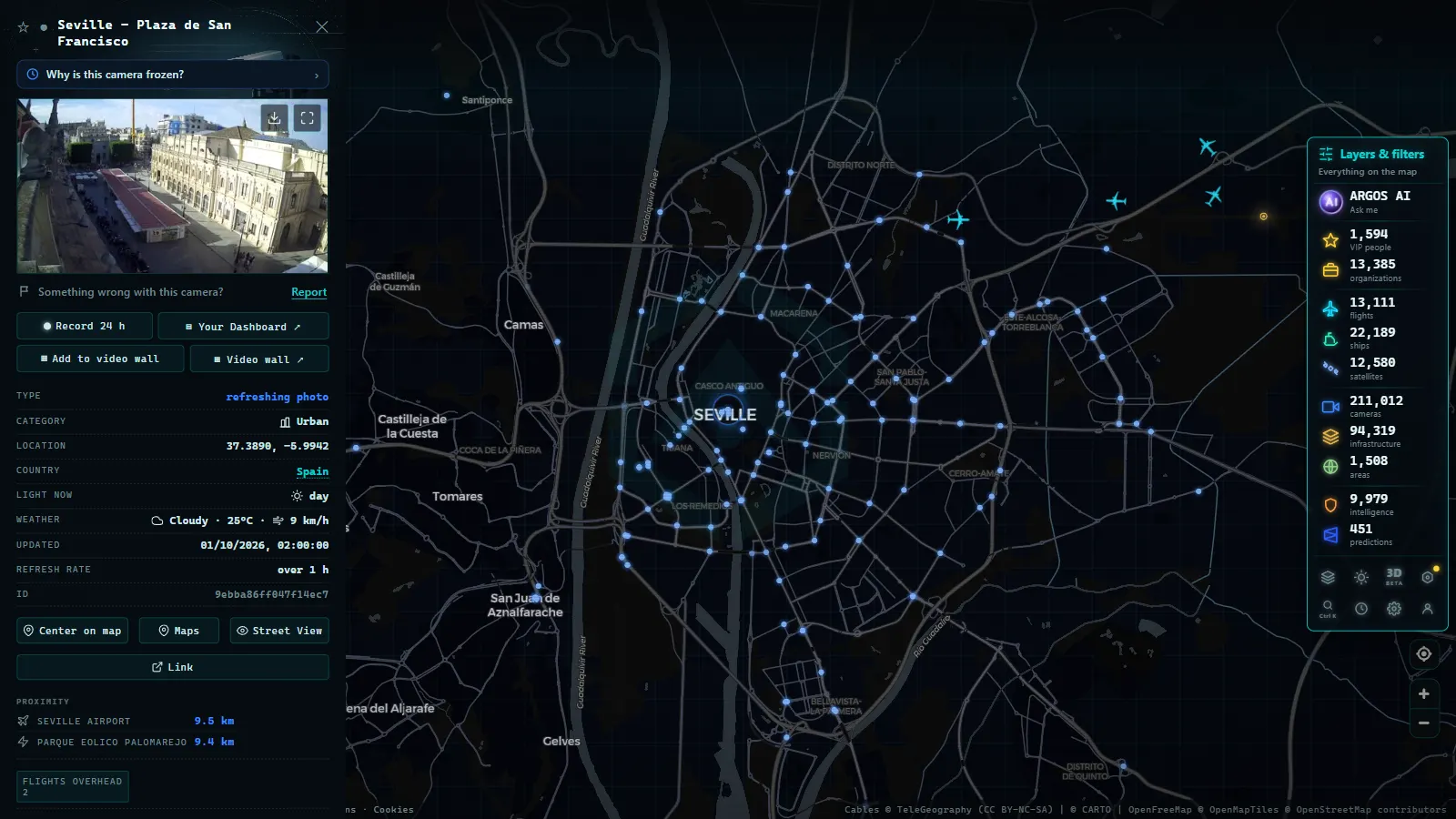
Andalusia has the busiest summer road corridor in Spain. That is not an opinion: it is what happens when you combine hundreds of kilometres of holiday coastline, Europe's maritime gateway to North Africa, and eight provincial capitals linked by motorways that multiply their normal traffic every August. The A-7 on a mid-August Saturday is probably the most stressed stretch of asphalt in the country.
The good news is that almost all of that corridor is covered by public cameras you can check before leaving the house. The ARGOS ATLAS map gathers 1,246 public cameras across Andalusia (count on the map as of August 2026). This guide explains where they are, which ones actually matter depending on the day, and what you will not be able to see with them.
How many traffic cameras there are in Andalusia
Those 1,246 cameras are not spread evenly, and their geography says a lot about the region:
- 318 in the Malaga area, by far the densest cluster: the city, the MA-20 ring road, the airport and the start of the Costa del Sol.
- 155 around Seville, built around the SE-30 ring road and the approaches to the A-4 and A-49.
- The rest are distributed along the major inter-provincial corridors and around Granada, Cadiz, Cordoba, Almeria, Jaen and Huelva.
It is worth knowing where they come from. The DGT, Spain's national traffic authority, runs around 1,940 cameras nationwide and owns many of the Andalusian motorway feeds; alongside them sit regional and municipal cameras on ring roads and city approaches. The map shows them all together, sorted by location, which is how you need them when planning a drive. For how the national network works from the inside, see our complete guide to DGT traffic cameras, and for the country-wide picture, traffic cameras in Spain.
The A-7: Spain's most loaded summer corridor
If you could only watch one Andalusian road, this is it. The A-7 and its tolled twin the AP-7 run the length of the Mediterranean coast, from the Murcia border to the Bay of Algeciras, crossing four different worlds on the way: the Almeria shoreline, the Granada coast, the Costa del Sol funnel and the approach to the Strait of Gibraltar.
The Malaga section is the one that rules. Between Malaga, Torremolinos, Fuengirola, Marbella and Estepona, the A-7 behaves in summer like an urban road disguised as a motorway: junctions every few kilometres, local traffic mixed with long-distance travel, and capacity that runs out before the road looks full. That is why a minor incident near Marbella produces queues that Fuengirola feels forty minutes later.
West of Estepona the A-7 changes personality altogether: it stops being a holiday road and becomes the access route to the largest passenger movement of the European summer.
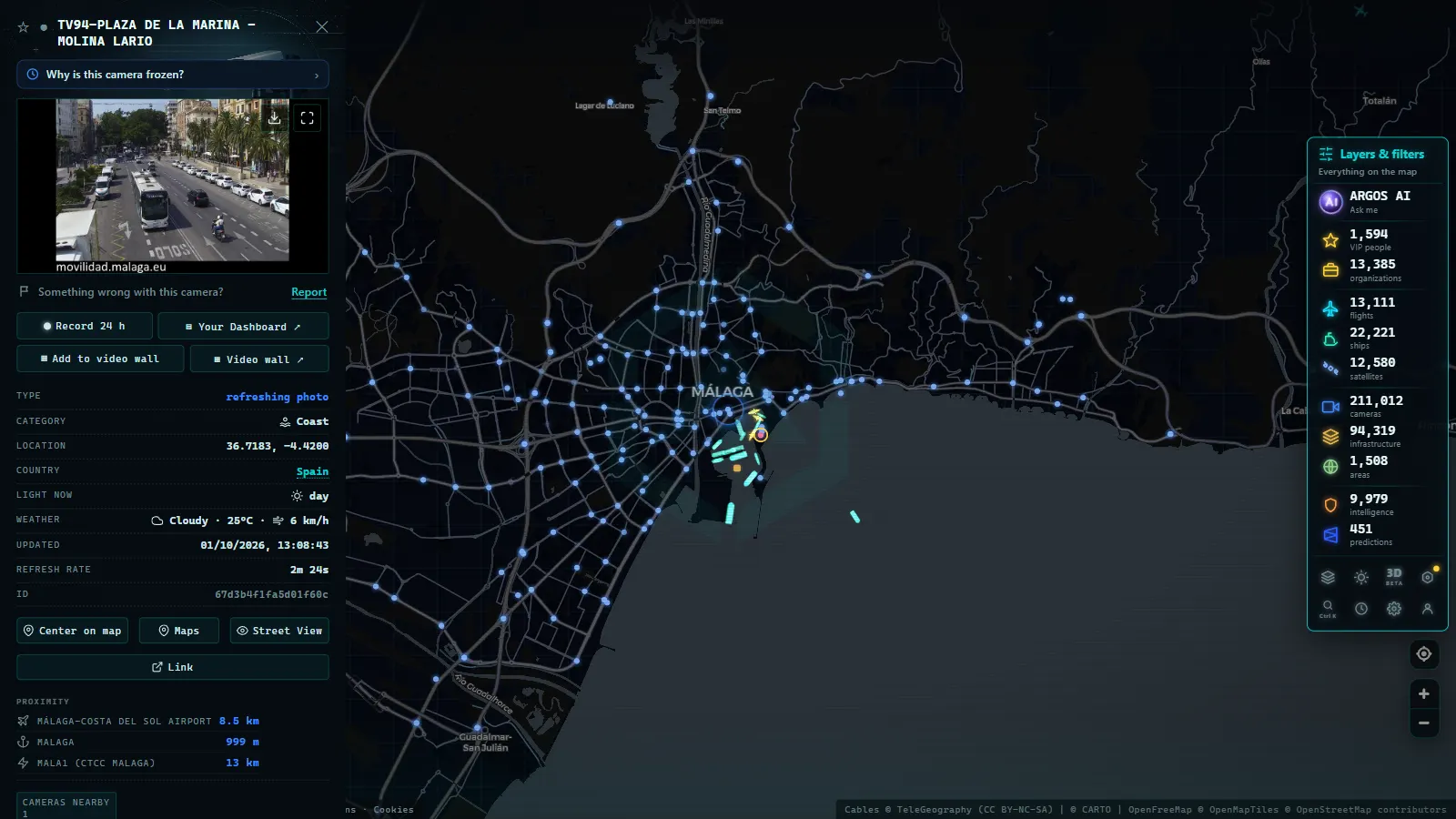
Malaga traffic cameras: 318 across the metro area
Malaga's 318 cameras cover three different things, and it pays to tell them apart because you use them differently.
The MA-20, the western ring road, is the fuse of the metropolitan system: it absorbs traffic that does not want to enter the city and links the A-7 with the A-45 and the airport. When the MA-20 slows, the whole city feels it.
The airport approaches run on their own rhythm, set by waves of arriving and departing flights rather than by the working rush hour. In August, Saturday mornings are the critical window, worth checking if you are picking up a rental car.
And the city centre and its entrances complete the picture, with cameras at the points where local and tourist traffic get in each other's way.
From the ARGOS ATLAS channel.
Seville traffic cameras, the SE-30 and the A-4
Seville works on a different logic. Its 155 cameras are organised around the SE-30, the ring road that circles the city and carries practically everything going in or out: simultaneously an urban bypass and the distribution hub between the A-4, the A-49 and the A-92.
The Sevillian quirk is that its August rush hour is gentler than the rest of the year (the city empties) but its weekends are intense in the opposite direction: mass departures toward the Huelva and Cadiz coasts on the A-49 and A-4. The pattern is the mirror image of Malaga's, which receives rather than emits.
The A-4, meanwhile, is Andalusia's northern gate. The Despeñaperros, Bailen and La Carolina stretch is where traffic from Madrid enters the region, and on the eve of a public holiday it is the best thermometer of what the coast will look like a few hours later.
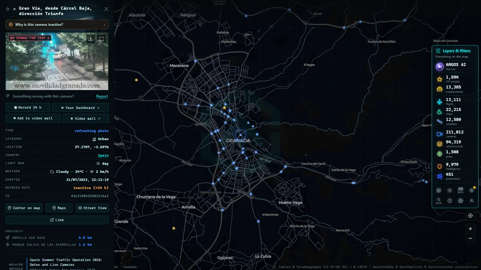
The A-92 today: the spine of inland Andalusia
The A-92 stitches Andalusia together from the inside: Seville, Antequera, Granada and, through its branches, Almeria and Malaga. It does not carry coastal volumes, but it has a strategic role, it is the alternative when the shoreline seizes up, and the natural route for travel between Andalusian capitals.
In August it fills for a different reason: inland weekend movement, local festivals and people heading down to the beach from Granada or Jaen. Watching it has one little-known practical advantage: if the A-92 is heavy around Antequera, the A-45 toward Malaga will be heavy an hour later.
| Corridor | Key stretch | When to watch it |
|---|---|---|
| A-7 / AP-7 (Mediterranean corridor) | Malaga–Marbella–Estepona and the Almeria coast | July and August afternoons, and every weekend |
| A-7 toward the Strait | Bay of Algeciras and port approaches | The return phase of the Strait crossing operation, in August |
| A-4 (Autovía del Sur) | Despeñaperros–Bailen–Cordoba–Seville | Holiday eves and departure operations from Madrid |
| A-92 | Seville–Antequera–Granada | Long weekends and travel between Andalusian capitals |
| A-45 | Antequera–Malaga | Beach weekends from Cordoba and the interior |
| A-49 | Seville–Huelva | August and the flow toward the Huelva coast and the Algarve |
| SE-30 | Seville ring road | Weekday rush hour and weekend getaways |
| MA-20 | Malaga western ring and airport access | August Saturdays and flight arrival waves |
August, Algeciras and the Strait crossing operation
No guide to Andalusian traffic is complete without the Operación Paso del Estrecho, the annual operation that organises the crossing of hundreds of thousands of people between Europe and North Africa. From 15 June to 15 September, the Bay of Algeciras concentrates a flow unlike anything else on the Spanish map: vehicles loaded to the roof, port access queues, and a rhythm set by ferry rotations rather than by the clock.
For a driver, the practical consequence is that between Estepona and Algeciras the A-7 runs on its own rules in August. The cameras on that stretch and at the port approaches are the best way to know whether traffic is stacking up before you commit to the turn-off. We cover the calendar and the phases in our guide to the Strait crossing operation 2026, and if you want the other side of the crossing (live ferries and cameras on the water) it is in Ceuta and the Strait live.
One local detail that saves grief: the levante wind. When it blows hard through the Strait, ferry rotations slow down or stop, and that maritime delay translates into more vehicles waiting on land. A levante day in August shows up in the port access cameras long before it shows up in any press release.
Local tricks for reading Andalusian cameras
Four habits that work across the whole region:
- Check the timestamp before the image. A one-minute-old frame is information; a frozen hour-old one is noise.
- Chain two cameras on the same corridor. One image tells you the state of a point; two, twenty kilometres apart, tell you which way the jam is moving.
- Watch out for local holidays. Andalusia has a calendar of town fairs and pilgrimages spread across the year and across municipalities: an ordinary Tuesday can behave like a Sunday in one specific district.
- On the coast, cross-check the beaches. If you are unsure whether the trip is worth it, Spain's beach webcams show you the destination before you commit to the A-7.
What these cameras do not do
The usual house honesty. These cameras are not surveillance: they show wide shots of the carriageway, designed to reveal density and road conditions, and they do not allow you to identify people or read number plates. Speed cameras and enforcement systems are entirely separate networks, with their own rules and no public feed.
Nor do they cover everything. There are stretches of the A-92 and of the inland secondary roads with no camera for tens of kilometres, and no Spanish public network covers a whole motorway metre by metre. There are also outages: a camera can be down for maintenance or a comms fault without that meaning anything about the traffic. If several cameras on the same stretch go dark at once, it is usually a network problem, not a crash.
With those caveats clear, the Andalusian network is one of the most useful in Spain in summer, precisely because it is dense where it needs to be. Open the map, centre it on the Costa del Sol on an August Saturday at eleven in the morning, and within two minutes you will know whether to leave now or wait until the evening.
Frequently asked questions
How many traffic cameras are there in Andalusia?
The ARGOS ATLAS map gathers 1,246 geolocated public cameras across Andalusia (count on the map as of August 2026), of which 318 are in the Malaga area and 155 around Seville. They come from aggregated official sources: national DGT cameras, regional networks and urban ring-road systems.
Which Andalusian road is most worth watching in August?
The A-7 Mediterranean corridor, without question. It carries Costa del Sol holiday traffic, the Granada and Almeria coastal flow, and the movement toward Algeciras during the Operación Paso del Estrecho. It is the road where one small incident produces the most kilometres of queue in the region.
Are these DGT cameras or regional ones?
Both, plus municipal networks. The DGT runs around 1,940 cameras across Spain and owns many of the Andalusian motorway ones, while urban ring roads and some approaches belong to local or regional authorities. On the map they appear together, sorted by location rather than by owner.
Can I watch them live, free and without signing up?
Yes. They are public informational cameras and you can browse them with no account and no payment. Most serve a still image that refreshes every short interval rather than continuous video, for deciding a route, that does exactly the same job.
Do these cameras issue fines or read number plates?
No. They are traffic-management cameras with wide shots of the carriageway, designed to show flow. Speed cameras, plate readers and enforcement systems are separate networks with their own rules and no public access.
- Michigan Traffic Cameras: MDOT's Live Feed on One Map
- Jakarta Traffic Cameras Live, on a Map
- Utah Traffic Cameras UDOT: Live on a Map
- Milan Traffic Cameras Live: 2 Airports, 1 Plant, 0 City Cams
- Naples Traffic Cameras Live: What You Can Really Watch
- Palermo live cameras and port: ferries, cruises and flights