Blog · Traffic cameras
Verona traffic cameras: the A4, A22 and the Garda exits live
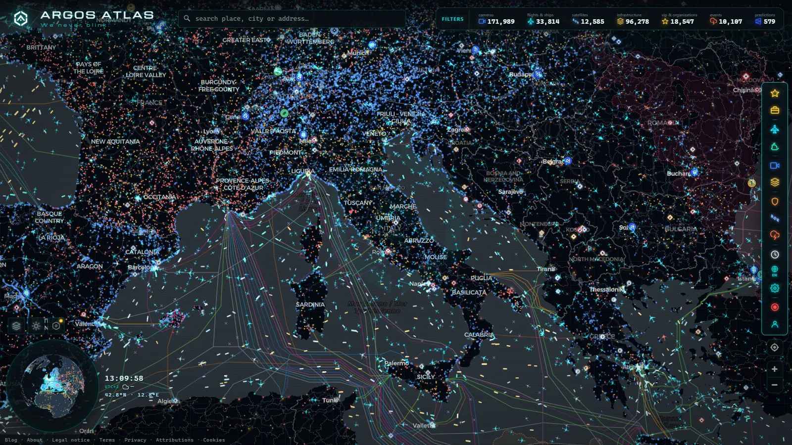
Verona sits where the two busiest motorway corridors of northern Italy cross. The A4 Serenissima carries Milan to Venice traffic across the south of the city, the A22 del Brennero drops from the Austrian border towards Modena, and the two meet at the Verona Nord interchange, right beside the Quadrante Europa freight terminal. Anything that goes wrong on one of those roads pushes queues onto the other within minutes, and from May to September it pushes them onto the lake roads as well.
That is the practical reason to check Verona traffic cameras before driving, and it is not curiosity: the alternative to a blocked road here is almost always the other operator's road, and the two are neither published in the same place nor refreshed at the same rate. This guide covers what each group of cameras actually shows, which ones are motorway feeds and which are municipal, and which of them sit on a frozen frame for long stretches at night.
Why Verona traffic cameras answer to three different operators
There is no single camera network for the province. Three layers overlap, and they behave differently.
- Motorway concessions. The A4 through Verona is run by the Autostrade concession network, the A22 by the Brenner motorway company (Autobrennero). Both publish still frames from gantry and portal cameras along their own kilometre markers. Neither shows the other's road, even at the interchange where the two physically meet.
- State and regional roads. ANAS and the Veneto road authorities cover the trunk roads feeding the lake, the airport and the city ring: the SR11 Padana Superiore, the SR450 towards Affi, the tangenziale. Coverage is thinner and refresh discipline is looser.
- The comune of Verona. The city's own devices are mostly enforcement equipment: ZTL access gates around Castelvecchio and Piazza Bra, bus lane readers, junction control. They are not public viewing cameras and no live frame from them is published anywhere.
Knowing which layer an image came from is the difference between trusting a picture and misreading it. The operator map for the whole country is in our guide to traffic cameras in Italy, Autostrade, ANAS and the Alpine passes.
The A4 and A22 knot at Verona Nord
The interchange is the first thing worth opening. Westbound A4 traffic towards Brescia, northbound A22 traffic towards Trento and the Brenner, and the freight flow in and out of the Quadrante Europa terminal all resolve in the same handful of kilometres. The cameras there are motorway cameras: high mast, wide angle, pointed down the carriageway rather than at any individual vehicle.
Three things read well on them.
- Lorry density in the right lane. Verona Nord is a freight node first and a passenger junction second. A solid line of trailers on the A22 slip road is the earliest visible sign that the Brenner run is backing up, usually before any of it reaches the A4 frames.
- The Verona Est to Verona Sud stretch. Incidents here empty onto the tangenziale and then into the city. A stopped queue on the motorway frame is a five to twenty minute warning for the ring road.
- Winter fog. Po valley fog is the standard reason a clear road turns into a crawl, and it is one of the few conditions a still frame conveys perfectly.
What the frames will not give you is a lane closure schedule or an incident label. The picture is the entire message. Brescia, one interchange west on the same corridor, is worth opening alongside, because the queue normally shows on one city before the other: that section is covered in the Brescia traffic camera guide with the A4 and Garda points.
Peschiera, Affi and the Lake Garda approaches
The lake is reached from two different motorways, and choosing the wrong one on a July Saturday costs an hour.
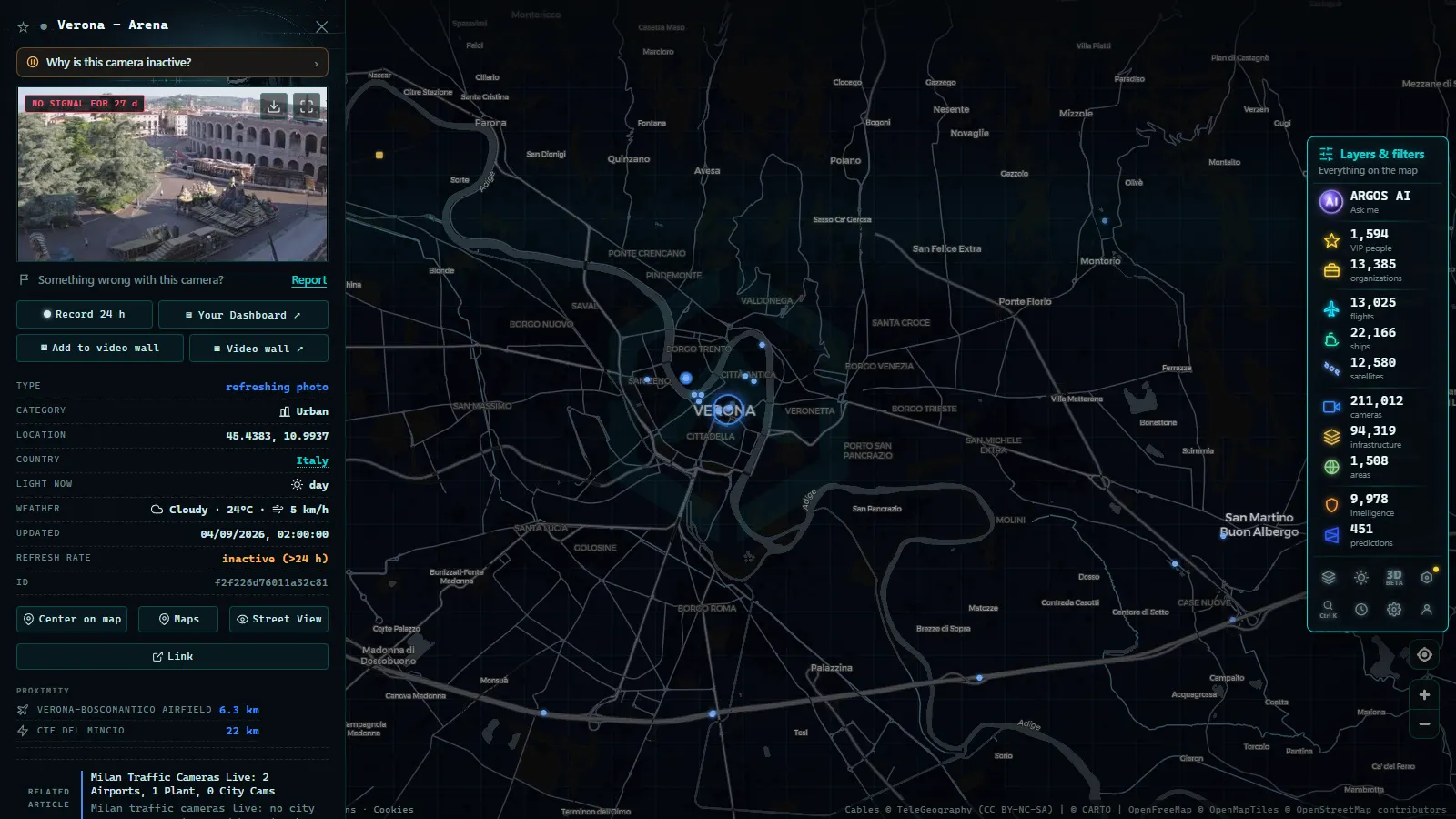
Peschiera del Garda, on the A4, is the southern gateway. It serves the whole lower shore, Sirmione, and the theme park cluster just off the exit. That last point matters more than the map suggests: the parks open and close on fixed hours, so the exit ramp fills in two predictable pulses, mid morning and late afternoon, independently of what motorway traffic is doing. The cameras closest to the toll plaza are the ones that show it.
Affi, on the A22, is the eastern shore gateway towards Garda town, Bardolino and Malcesine. Traffic that misses Affi ends up doubling back on the SR450, a two lane regional road with far less camera coverage and no shoulder to speak of.
The honest summary is that motorway coverage of the two exits is decent and coverage of the lake roads themselves is poor. Once you leave the toll plaza you are largely blind until the next regional camera, and there may not be one for many kilometres. If your trip continues north towards the Alps, the snow and chain question is a different problem with different cameras, described in the guide to mountain pass cameras and checking snow on the road before travelling.
From the ARGOS ATLAS channel.
Villafranca airport and the southwestern ring
Verona Villafranca (the Valerio Catullo airport, VRN) sits southwest of the city, wedged between the A4 and the A22, with its own access from the Sommacampagna exit. The practical problem for anyone collecting a passenger is that the airport approach shares its road capacity with motorway traffic diverting around trouble on either corridor.
The cameras that matter here are regional rather than motorway, and their quality is uneven. Some are recent installations with a clean wide view of the roundabout system; others are older, lower resolution, and aimed at an angle that tells you a road is busy without telling you where it stops. Treat them as a yes or no signal, not a measurement.
For the city itself, the tangenziale and the Torricelle tunnel route north of the centre carry the through traffic that the ZTL keeps out of the historic core. Frames on that ring are worth checking before committing to a crossing at rush hour.
Verona traffic cameras: motorway, regional and municipal
This is the summary table to keep in mind. Refresh habits described here are the general behaviour of each layer, not a published guarantee.
| Area or corridor | Operator layer | What the frame shows | Refresh habit | Best used for |
|---|---|---|---|---|
| A4 Verona Est to Verona Nord | Motorway concession | Wide carriageway view, both directions at some points | Cycled, minutes | Milan and Venice transit, fog |
| A22 Verona Nord to Affi | Motorway concession | Carriageway plus gantry context | Cycled, minutes | Brenner freight, north Garda |
| Verona Nord interchange | Motorway concession | The fork and the freight ramps | Cycled, minutes | Earliest sign of a corridor backup |
| Peschiera del Garda exit | Motorway plus regional | Toll plaza and approach | Slower off the motorway | Lower shore, weekend pulses |
| SR11 and SR450 lake roads | Regional | Scattered points, variable framing | Irregular, can stall at night | Rough go or no go signal |
| Villafranca airport access | Regional | Roundabouts and approach roads | Irregular | Pickups and drop-offs |
| City centre ZTL gates | Municipal enforcement | Nothing public | Not applicable | Nothing, they are not viewable |
Which Verona traffic cameras freeze in off-peak hours
This is the part most guides skip, and it is the one that will actually mislead you.
A still-image camera showing an empty road at 03:00 looks exactly the same whether it refreshed thirty seconds ago or at eleven the previous night. The motorway feeds on the A4 and A22 keep cycling around the clock, because the control rooms behind them run around the clock and freight does not stop. The regional cameras are the ones that drift: on the lake roads and around the airport, refresh intervals stretch out in off-peak hours, and some points stop pushing new frames entirely until the next shift picks them up.
Three defences against reading a stale frame as live:
- Read the timestamp, always. If the frame carries one, it beats every other signal on the page. If it does not, treat the image as unverified.
- Cross-check with a neighbour. Two adjacent cameras showing the same conditions is confirmation. One camera contradicting three others is usually a stuck frame, not an incident.
- Look for the impossible detail. Wet tarmac under a dry sky, headlights in daylight, or shadows pointing the wrong way for the hour all mean you are looking at an old picture.
Cameras also go dark for ordinary reasons: maintenance, power cuts, a rebuilt junction, a device retired without replacement. The full list of causes and what to do instead is in our piece on why a traffic camera is not working and what the alternatives are.
How to open the Verona area on a live map
The operators publish their frames on separate portals, in different formats, with different naming conventions for the same road. Putting them on one map is the whole point of doing this geographically rather than site by site.
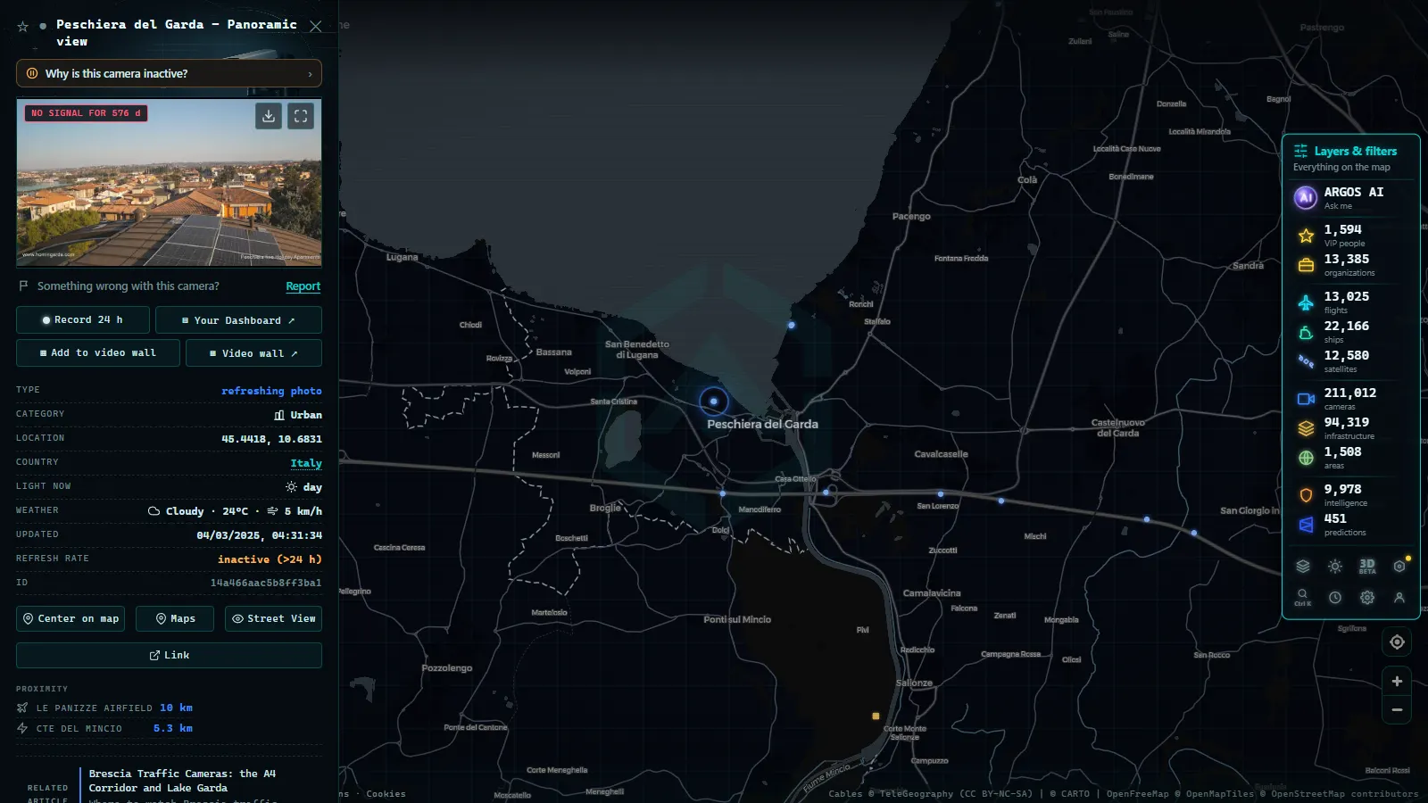
On the live ARGOS ATLAS map, zoom to the triangle formed by Verona, Peschiera and Villafranca, and the camera markers for all the layers appear together. Click one and you get the latest frame plus the source it came from, which is the field that tells you whether you are looking at a motorway feed or a regional one. Two practical habits: keep the zoom wide enough to hold the A4 and the A22 in the same view, since the point is comparing corridors, and open a second point at the far end of your route before you leave rather than after you are already committed to it.
The map carries 200,000+ public cameras worldwide (count as of September 2026), so the Verona set is one dense patch inside a much larger grid. If you are heading east afterwards, the lagoon crossing has its own quirks, covered in the Venice traffic camera guide for the Ponte della Libertà.
What Verona traffic cameras will not show you
The useful things to know are the limits.
You will not read a number plate. Public motorway frames are deliberately wide and low enough in resolution that individual vehicles are shapes, not identities. The equipment that does read plates in this province, the ZTL gates and the average speed sections, is a separate system with no public output at all.
You will not get video. Nearly everything here is a periodic still, and treating a still as a stream is how people conclude a road is clear when the frame is an hour old.
You will not get incident labels, closure durations or diversion advice from the image. A camera tells you what a stretch of tarmac looked like at one moment. Everything else is inference, and it is worth being explicit about which part of your conclusion is the picture and which part is you.
And you will not get even coverage. The motorways are watched closely, the lake and airport roads loosely, and the historic centre not at all in any way you can see. Plan around that gap instead of assuming it away.
Frequently asked questions
Is it free to watch Verona traffic cameras, and are they live?
Yes, and no account is needed. The motorway and road operators publish these frames as a public service, and ARGOS ATLAS pulls them onto one map with no registration and no paywall. \"Live\" needs a caveat though: almost none of them are video. They are still images refreshed on a cycle, so what you get is the most recent frame the operator pushed, not a continuous stream.
Which cameras cover the A4 and A22 interchange at Verona Nord?
They belong to two separate motorway concessions: the A4 Serenissima cameras to the Autostrade network, the A22 cameras to the Brenner motorway company. Both are high mast, wide angle and aimed down the carriageway. Neither operator shows the other's road, so at the interchange you have to check two sets of frames to see one junction.
Are Verona's municipal cameras public?
Mostly not. The comune's devices in and around the historic centre are enforcement gear: ZTL access gates, bus lane readers, junction control. They exist to issue fines, they are not viewing cameras, and no live frame from them is published. What you can see near the city are regional road cameras on the ring and the approach roads.
Why does the same image stay on screen for an hour at night?
Because a still-image camera with nothing to report looks identical whether it refreshed thirty seconds ago or at eleven last night. Regional and secondary cameras often slow their cycle in off-peak hours or stop pushing frames until a control room is staffed again. Always read the timestamp on the frame before you trust it.
Can I check the Brenner pass conditions from the Verona cameras?
Not from the Verona ones. The A22 cameras near Verona Nord sit on the flat Po valley, hundreds of kilometres south of the pass. They will tell you whether lorries are backing up on the corridor, which is a useful early signal, but for snow and chain requirements at altitude you need the cameras on the Alpine section itself.
- Tokyo Traffic Cameras: What Each Corridor Really Shows
- Alberta 511 Traffic Cameras: Calgary, Edmonton and the Passes
- Salerno traffic cameras: the A2, the coast road and the port
- Greece Traffic Cameras: Live Roads From Athens to Crete
- North Carolina Traffic Cameras: I-40, Charlotte and NC-12
- Sichuan traffic cameras: what the map shows and what it doesn't