Blog · Traffic cameras
Venice traffic cameras live: causeway, Mestre and Marghera
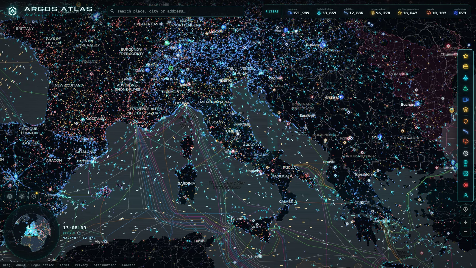
If you searched for Venice traffic cameras live hoping to watch a canal, the useful answer arrives in one sentence: the working cameras here are road cameras, and the road stops at Piazzale Roma. Everything you can check in near real time sits on the mainland side of the water, on the Ponte della Libertà causeway, around Mestre, along the industrial approaches at Marghera and on the motorway junctions that feed them. The historic centre has no public traffic camera network at all, because it has no road traffic for one to measure.
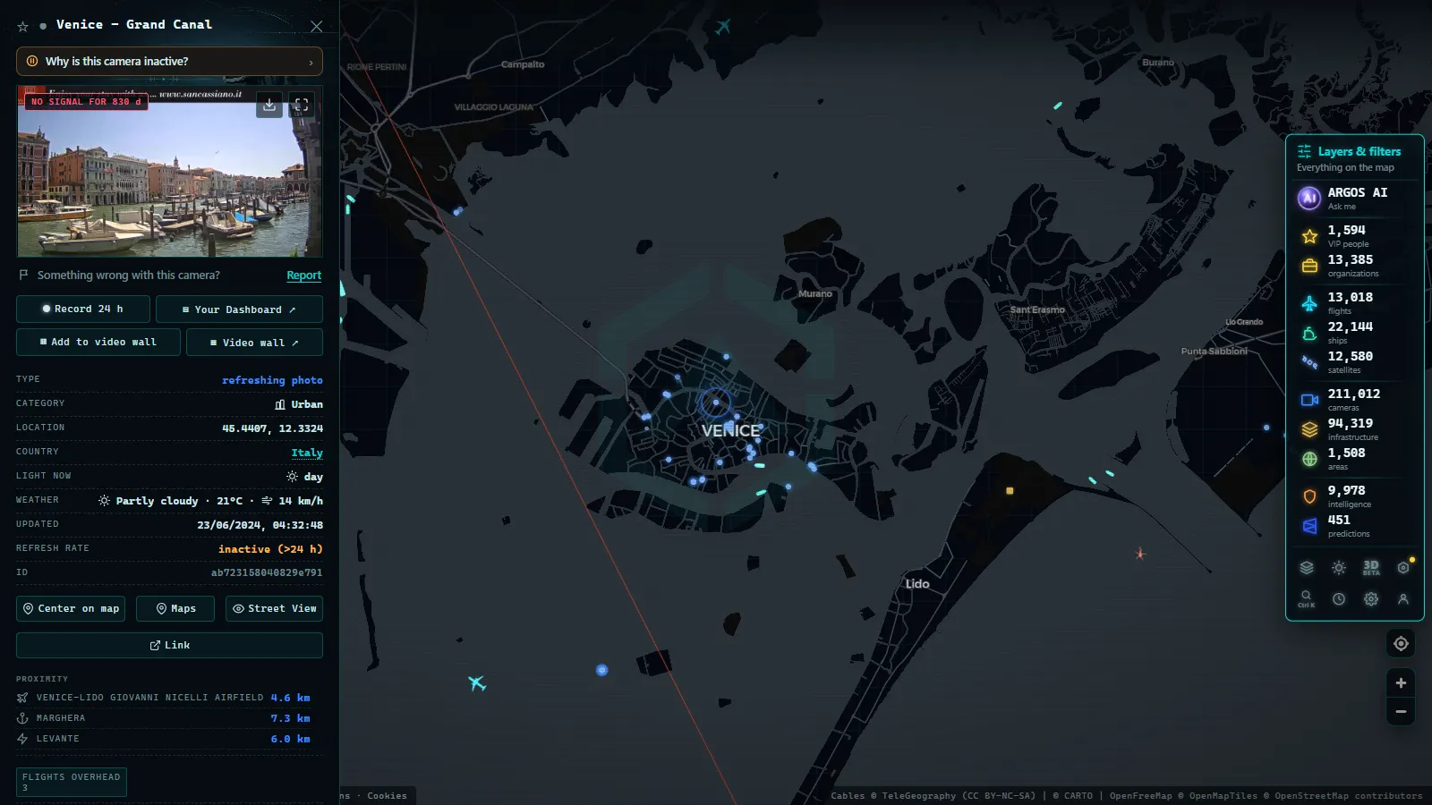
That is not a gap in the map, it is a description of the city. So the question worth asking is not "which camera points at the Rialto" but "where does the queue form, and who publishes a picture of it". For Venice the answer runs along a single axis. Open the camera layer on the live OSINT map with public traffic cameras, pan to the head of the Adriatic, and the pins bunch on the mainland with nothing inside the lagoon.
Venice traffic cameras live: what exists and what does not
Three different things get called "Venice cameras", and only one of them is a traffic camera.
- Road cameras on the motorway and regional network. Operated by the road concessionaires, published as still images that refresh on a cycle, framed at the tarmac. These are the ones that answer "how long is the queue to get in".
- Scenic webcams pointed at St Mark's Square, the Grand Canal or the Rialto. Genuinely useful for weather and crowd level, but they belong to hotels, associations and tourism boards. They disappear without warning and nobody publishes a status page for them.
- Enforcement cameras at the restricted access points around Piazzale Roma and the Tronchetto. These read plates and issue fines. Their images are not public, and that is the normal arrangement across Italy rather than a local quirk.
Only the first category behaves like infrastructure you can rely on. The other two are worth knowing about so you stop looking for them in the wrong layer.
The Ponte della Libertà: one road, one bottleneck
Everything on wheels that reaches Venice crosses the same causeway, the Ponte della Libertà, running alongside the railway bridge. It lands at Piazzale Roma and the Tronchetto, and there the road network simply ends. No through traffic, no alternative route, no second bridge. One incident on the causeway backs up into Mestre within minutes and there is nowhere for the queue to go.
What that means for camera watching is unusually simple, and it is good news. You do not need a dense network. You need the mainland end of the bridge and the junctions immediately behind it. If those are moving, you are fine. If they are stopped, you are stopped.
The detail that catches visitors out: on days when the car and coach parks at Piazzale Roma and the Tronchetto fill, traffic is held back before the bridge rather than allowed to crawl across it. The queue you actually want to see is on the Mestre side, not on the water. A clear causeway in the frame can mean the flow is being metered upstream, which is the opposite of what it looks like.
Mestre, Marghera and the A57 tangenziale
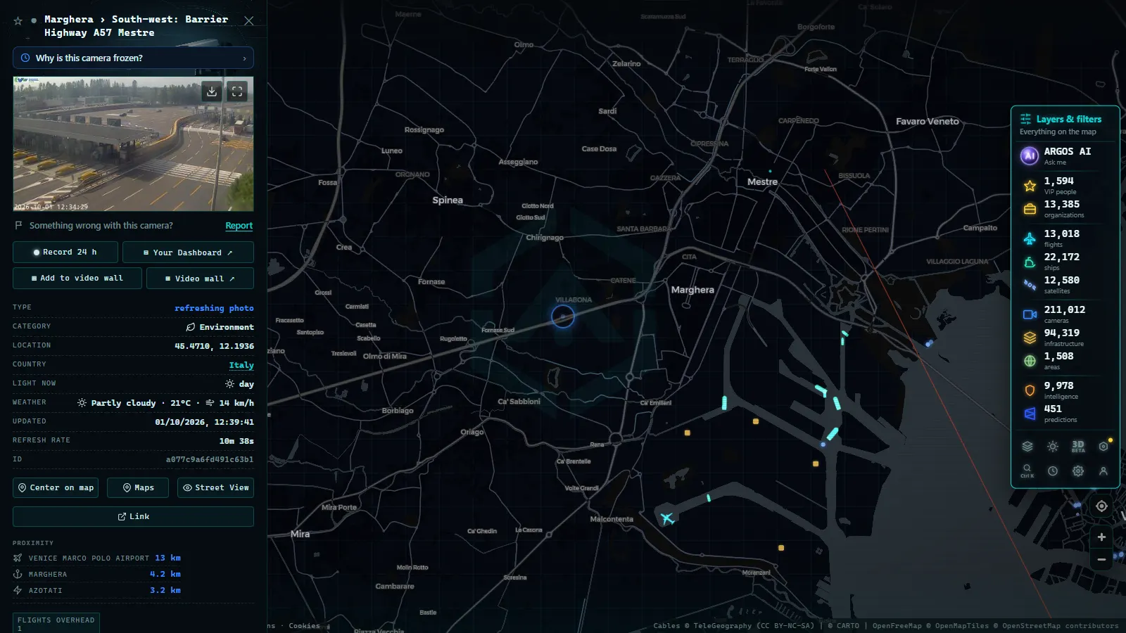
Mestre is where the road traffic of Venice really lives. It is the mainland half of the same comune, and it carries commuter flow, port freight out of Marghera and every visitor who parks on the mainland and takes the train or the tram across.
The spine is the A57 Tangenziale di Mestre, the ring that pulls the A4 (Milan to Trieste), the A27 (towards Belluno and the Dolomites) and the A13 (up from Bologna through Padua) around the city rather than through it. Concessioni Autostradali Venete runs the A4 stretch from Padua to Venice and the tangenziale itself, so its cameras are the ones that matter most to anyone driving in. The tangenziale is also the single point where a local jam and a long distance jam become the same jam.
Marghera follows a different rhythm. It is industrial and port territory, so congestion peaks on shift changes and truck movements rather than on tourist hours. Cameras there are framed for freight approaches, roundabouts and gate queues, and they are unglamorous in a way that makes them genuinely informative.
From the ARGOS ATLAS channel.
Which motorway you arrive on changes what you can check
Camera coverage in Italy is split by concession, and that split is visible in what you can watch. The wider picture is in the guide to traffic cameras in Italy, Autostrade, ANAS and the Alpine passes: motorway operators publish generously along their own concessions, regional roads publish sparsely, and city streets almost never.
Coming up the A13 from Bologna, the cameras worth checking start long before the lagoon, at the junctions where A1 and A14 traffic merges (the same crossroads covered in the piece on the Bologna traffic cameras at the A1 and A14 junction). From Milan you are on the A4 the whole way, the best covered of the three corridors. From Trieste or the Slovenian border you approach on the eastern A4 and the decisive point is the tangenziale itself.
The Venice approaches at a glance
| Approach | Road | Who publishes | What a camera there shows | Format |
|---|---|---|---|---|
| Into the city | SR11 Ponte della Libertà | Regional road authority | Queue towards Piazzale Roma and the Tronchetto | Still image on a refresh cycle |
| Mestre ring | A57 Tangenziale | Concessioni Autostradali Venete | The bottleneck that decides everything else | Still image on a refresh cycle |
| From Padua and Milan | A4 | Concessioni Autostradali Venete | Lane blockages and roadworks upstream | Still image on a refresh cycle |
| From Bologna | A13 | Autostrade per l'Italia | Merging traffic well before the lagoon | Still image on a refresh cycle |
| Towards Belluno | A27 | Autostrade per l'Italia | Weather and holiday return flows | Still image on a refresh cycle |
| Historic centre | none | nobody | Nothing, no public traffic cameras exist | Not available |
| Lagoon and port | n/a | AIS receivers | Vessel position, heading, speed and name | Continuous position feed |
One caveat on that table: concessions change hands and camera pages move addresses when they do. Treat the operator column as who publishes today, not as a permanent fact.
Lagoon traffic: AIS instead of cameras
The part of Venice that you can genuinely follow in real time is the water, and it works without video. Ferries, cruise calls at Marghera, tugs, dredgers, work barges and cargo in the industrial canals carry AIS transponders, and AIS is a broadcast that any receiver in range can hear. That makes the marine layer the honest substitute for a camera in the lagoon: no picture, but a position, a heading, a speed and a name.
On the map the vessel layer holds 21,858 ships broadcasting live positions and 36,214 tracked across the recent window, over a catalogue of 1,081 ports (counts as of September 2026). Venice and Marghera appear as port entities, so you can see what is inbound hours before it arrives. What AIS will not give you is the vaporetto network in useful detail, or small unpowered craft, which mostly do not transmit at all. The lagoon looks emptier on AIS than it does from a window, and that is worth remembering before you conclude the water is quiet. The mechanics, including the gaps, are in the explainer on how AIS tracks ships in real time.
When a Venice camera looks broken
Four failure modes cover almost everything you will hit around the lagoon.
- Fog. Autumn and winter fog here is real and thick. A white frame on the causeway in November is usually a working camera showing you exactly what is out there, which is nothing.
- Frozen still. The timestamp stops advancing while the image stays. The operator has paused the feed, often during a maintenance window, and it returns without announcement.
- Dark at night. Many road cameras have no infrared and rely on street lighting. On the unlit stretches of the approach roads they are effectively blind after dusk.
- Moved address. After a concession or platform change the old image URL returns nothing while the camera itself is perfectly fine.
Telling these apart saves a lot of pointless refreshing. The full diagnosis is in the piece on why a traffic camera is not working.
A short routine before driving into Venice
This is the sequence that actually works, in the order that costs you least time.
- Check the A57 tangenziale first, not the causeway. It fails earlier and it fails harder.
- Then the mainland end of the Ponte della Libertà, to see whether traffic is being held before the bridge.
- Then your own approach corridor, A4, A13 or A27, at least one junction upstream of where you expect trouble.
- If everything is red, check the AIS layer for the ferry and port movements, since a major call at Marghera changes the freight pattern on the mainland roads.
- Assume a parking decision, not a driving one. The realistic outcome on a busy day is parking in Mestre or at the Tronchetto and crossing by tram or train.
And the honest closing note, because it is the point of the whole article: no camera anywhere will show you a live view of the Rialto queue, the Accademia bridge or the vaporetto stops. There is no public network for that and there is unlikely ever to be one. What you can watch is the way in, and in a city with exactly one way in, that turns out to be most of what matters.
Frequently asked questions
Are there traffic cameras inside the historic centre of Venice?
No. The public traffic camera networks in Italy are built by road operators to watch roads, and the historic centre has none. The road network ends at Piazzale Roma and the Tronchetto. What exists inside the islands are private scenic webcams (hotels, squares, tourism associations) and enforcement cameras at the restricted access points, and enforcement footage is never public.
Is it free to watch Venice traffic cameras live, and do I need an account?
Yes, free, and no registration. The camera images come from public road operator feeds, and the map that gathers them opens straight into the browser with no sign up, no trial and no app. The catalogue holds 200,000+ cameras worldwide (count as of September 2026), of which the ones relevant to Venice sit on the mainland approaches.
Which camera tells me if I can get into Venice by car right now?
The mainland end of the Ponte della Libertà and the A57 tangenziale junctions behind it. Because there is only one causeway and no alternative route, those two points decide everything. If the approach is stopped, nothing further in will tell you anything new, since there is nothing further in.
Can I see boats moving in the Venice lagoon?
You can see their positions, not video. Ferries, cargo, tugs and cruise calls at Marghera broadcast AIS, so the marine layer shows name, heading and speed in near real time. Small craft, most gondolas and many unpowered boats do not transmit at all, so the lagoon looks emptier on AIS than it is from a window.
Why does a Venice camera show a white or frozen image?
Three usual causes. Lagoon fog genuinely whites out the frame in autumn and winter, and the camera is working perfectly. A frozen still means the operator stopped pushing new frames, which happens during maintenance windows. And after a concession change the image URL moves, so the old address returns nothing while the camera itself is fine.
- Georgia 511 Traffic Cameras: Watch I-285 and I-16 Live
- Sicily traffic cameras: the A19, the A18 and the Messina run
- Verona traffic cameras: the A4, A22 and the Garda exits live
- Tokyo Traffic Cameras: What Each Corridor Really Shows
- Alberta 511 Traffic Cameras: Calgary, Edmonton and the Passes
- Salerno traffic cameras: the A2, the coast road and the port