Blog · Traffic cameras
Barcelona traffic cameras: the ring roads and AP-7 live
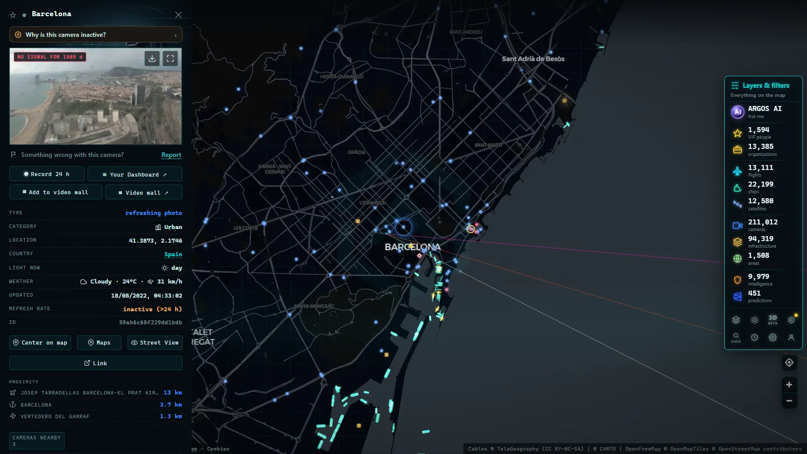
Barcelona is wedged between the sea and the Collserola hills, and that geometry decides everything. There are no concentric orbital motorways as in Madrid; there are two flattened rings running in parallel, one hugging the water and one hugging the mountain. Understanding traffic in Barcelona means understanding those two rings and the five or six approach roads that feed them.
The ARGOS ATLAS map holds 237 public cameras across the Barcelona area (count on the map as of August 2026). It is not a huge network (a little over 2% of Spain's national total of roughly 10,900 public cameras) but it sits where it matters. This guide covers how to read it, which corridors it watches, the local habits that make it useful, and why the number is what it is.
Barcelona traffic cameras: who publishes what
Three administrations share responsibility for the tarmac in metropolitan Barcelona, and each decides independently how much it publishes:
- Barcelona city council, responsible for the urban grid and much of the ring roads as they pass through the city.
- The Catalan government, through the Servei Català de Trànsit, which manages traffic on Catalan roads: the C-31, C-32, C-58, C-33 and the rest of the regional network.
- The national network, with the DGT running around 1,940 cameras across Spain and a presence on the state-owned stretches crossing the area.
That split has a direct consequence for anyone looking for information: no single viewer covers everything. You can know one source inside out and still be seeing a third of the area. Aggregating the three is exactly the problem a combined map solves, and the same pattern repeats nationwide, we cover it in the guide to traffic cameras in Spain.
The rings: Ronda Litoral (B-10) and Ronda de Dalt (B-20)
If Madrid is read through its M-30, Barcelona is read through its two ring roads, and the difference between them is the key to everything.
The Ronda Litoral (B-10) runs along the waterfront, from the Besòs river down to the Zona Franca industrial district. It is the port ring: logistics, freight and heavy vehicles. Its characteristic jams are not office rush hour, they are lorries, containers and port access, which is why they can appear at hours that catch visitors out.
The Ronda de Dalt (B-20) runs along the lower slopes of Collserola, halfway up the hill. It is the commuter ring: the road used by everyone coming in from the Vallès and Baix Llobregat districts, and the one that saturates during the classic morning and evening peaks.
The practical rule every local learns fast: the two rings do not jam at the same time or for the same reasons. When the Litoral stops for port operations, the Dalt is usually the alternative; when the Dalt gridlocks in rush hour, the Litoral holds up better. Checking one without the other is half the information. For the underlying mechanics, see why rush-hour traffic jams form.
The approaches: B-23, C-31, C-32, C-58/C-33 and the AP-7
The rings would be nothing without the corridors feeding them. Here is the full mental map:
| Corridor | Area covered | Why it matters |
|---|---|---|
| Ronda Litoral (B-10) | Waterfront, from the Besòs to the Zona Franca | Port, logistics and heavy freight; jams outside typical hours |
| Ronda de Dalt (B-20) | Collserola slopes, northern arc of the city | The classic metropolitan rush hour |
| B-23 / A-2 | South-western approach from Baix Llobregat | The heaviest morning entry; a long-standing bottleneck |
| C-31 | Coast road north (Maresme) and south (Garraf) | Beach access in summer; commuter corridor in winter |
| C-32 | Coastal motorway, Maresme and Garraf | The tolled alternative to the C-31: worth comparing both |
| C-58 and C-33 | Vallès corridor and the northern exit | Entries from Sabadell, Terrassa and the interior |
| AP-7 | Metropolitan and Mediterranean spine | Links France to Valencia; any incident ripples downstream |
| Gran Via, Diagonal and Meridiana | Urban axes of the Cerdà grid | The real state of the city, beyond the rings |
B-23 cameras deserve a special mention: it is the most strained morning approach in the whole area, a narrow funnel carrying the entire Baix Llobregat into the city. And AP-7 cameras around Barcelona are the most useful for long-distance travellers, because the motorway acts as a spine, a queue up in the Vallès reorders traffic across half the province.
From the ARGOS ATLAS channel.
Barcelona traffic live: how to read it on the map
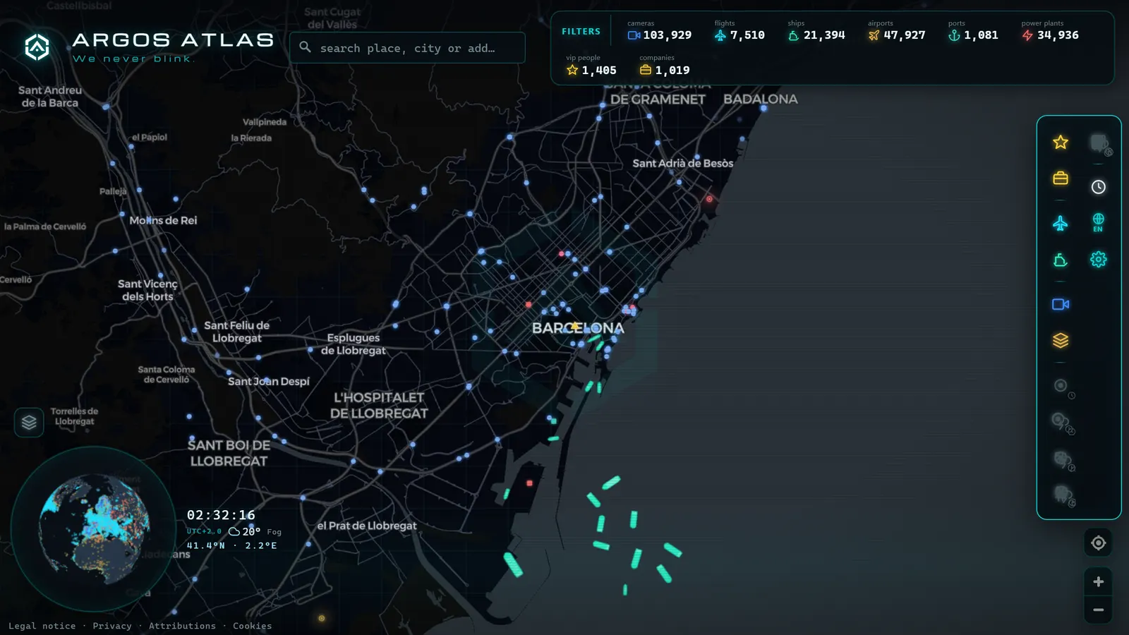
On the ARGOS ATLAS live map, the 237 cameras sit on the city's real geography, which helps particularly here: once you see the coastline and the hills, the logic of the two rings is obvious at a glance, without having to memorise any names.
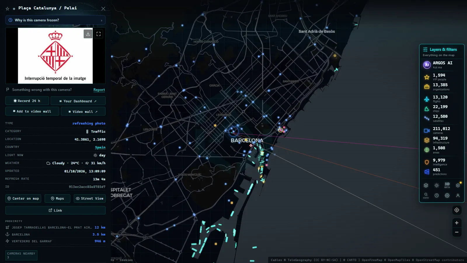
Open a camera and you get its most recent frame with a timestamp. As across the rest of Spain, most networks work with frequently refreshed stills rather than continuous video, and for deciding which way to enter the city that is just as useful. The one thing always worth checking is the capture time: a frozen image misleads you more than looking at nothing.
Barcelona also brings something few cities offer on the same map. Its port is one of the Mediterranean's largest and its airport a European hub, so the live AIS shipping and flight layers overlap with the camera layer. You can watch the Ronda Litoral and, right beside it, the ships that explain why it looks the way it does.
Local habits that only make sense in Barcelona
- The port and Zona Franca drive the Litoral. Port operations and Zona Franca logistics push lorries onto the B-10 in windows that do not match car rush hour. If you are taking the Litoral mid-morning and expected it empty, check first.
- In summer, the C-31 is the beach road. On July and August weekends the Maresme corridor and the southbound run towards the Garraf change character entirely. Comparing the C-31 (free, with town crossings) and the C-32 (motorway) on two cameras back to back is the highest-value decision of a Saturday morning.
- The B-23 is decided before you commit. Once you are in the funnel there is no way out. The camera is for choosing between the B-23 and the ring alternatives, not for regretting it halfway.
- Big congresses are an atypical peak. The Mobile World Congress and the major Fira events reshape the south-western approaches and the Gran Via for specific days. It is neither seasonal nor rush-hour traffic, it is a pattern of its own, and cameras are the only way to see it in real time.
- Fog and wind never show up in apps. On the high sections of the Ronda de Dalt and the exits towards Collserola, visibility can change without producing any congestion. A camera shows it in one second.
Why Barcelona has fewer public cameras than Madrid
Now the honest part. With 237 public cameras in its area, Barcelona sits well below Madrid, which by some distance holds the largest network in Spain, we break it down in the guide to Madrid traffic cameras. The natural question is why.
It is not that fewer cameras are installed in Barcelona. It is that fewer are published openly, for three reasons worth separating:
- Split responsibilities. In Madrid, a very large share of the area depends on two actors with a strong publishing habit. In Catalonia, responsibility is spread more evenly across the city council, the Catalan government and the state, and each applies its own criteria for which feeds go public and which stay in the control room.
- Different publication philosophies. Some operators prefer to publish status data (congestion levels, incident reports) rather than imagery. That is valid information, but it is not a camera, so it does not appear in a camera count.
- Metropolitan scale. Madrid is the hub where six national radial motorways converge and has two complete rings to cover; Barcelona has a more compact area and a simpler geometry. Fewer kilometres of strategic road legitimately means fewer camera points.
The practical consequence is that in Barcelona you have to be more selective. You will not find a camera every kilometre, so learn which four or five actually decide your journey. For the state-owned stretches crossing the area, the reference is still the DGT camera guide.
Barcelona is not the Spanish city with the most cameras, but it is one of the easiest to read: two rings, half a dozen approaches, and a geography that explains itself. Open the map, centre it between the port and Collserola, check the Litoral and the Dalt one after the other, and in thirty seconds you will know which way to come in.
Frequently asked questions
How many traffic cameras does Barcelona have?
The ARGOS ATLAS map holds 237 public cameras across the Barcelona area (count as of August 2026). That is a little over 2% of Spain's national total, a modest figure explained by how responsibility for the roads is split between the city, the Catalan government and the state.
Can I watch the Barcelona ring roads live?
Yes. The Ronda Litoral (B-10) and the Ronda de Dalt (B-20) are the best-covered axes in the area, along with their junctions. Each camera opens with its most recent frame and a timestamp, free to view on an aggregated map.
Who manages traffic in Catalonia?
The Servei Català de Trànsit handles traffic management on Catalan roads, while Spain's national DGT retains responsibility for part of the state network. That dual structure is why cameras in the Barcelona area arrive from several different operators.
Is it free and does it need an account?
It is free and needs no account. These are public information feeds, and an aggregated map lets you browse them alongside the rest of Spain's and the world's public cameras without signing up or paying.
Why does Barcelona have fewer public cameras than Madrid?
It is not that there is less monitoring, but less open publication. Barcelona's network is split between the city council, the Catalan government and the state, and those administrations do not all publish their images on the same terms or at the same scale.