Blog · Traffic cameras
Madrid traffic cameras: 1,464 public cams live on one map
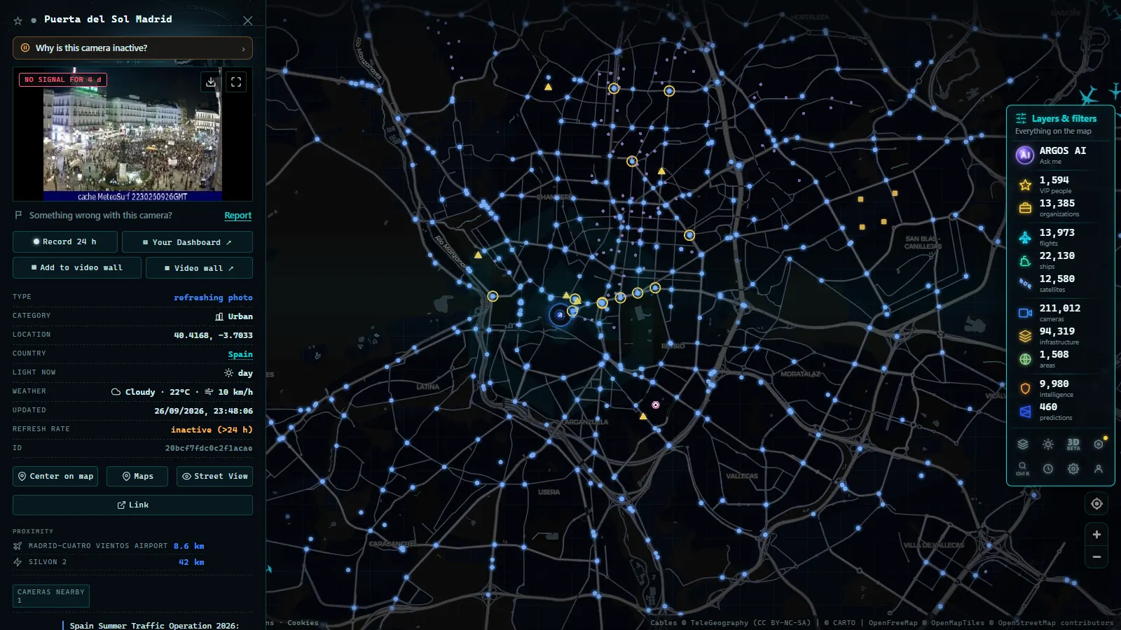
Madrid has more public traffic cameras than any other city in Spain, and it is not a close race. The ARGOS ATLAS map holds 1,464 public cameras across the Madrid metropolitan area (count on the map as of August 2026), spread across the municipal network, the national road network and the operators who run the outer rings and the radial motorways. For scale: Spain's national traffic authority, the DGT, runs around 1,940 cameras in the whole country, and the Madrid area alone comes close to matching that once you add every network that publishes there.
That density has a very practical consequence: in Madrid you almost never have to guess. If you care about a specific point on the M-30, the M-40 or any of the six radial motorways, the odds are high that a public camera is pointing at it right now. This guide covers who publishes what, which corridors are covered, how to read them like a local, and (the part most guides skip) what you will never see, no matter how hard you look.
Madrid traffic cameras: who publishes each feed
The first thing that confuses newcomers is that there is no single "Madrid camera network". There are several overlapping ones, and which is which depends on who owns the tarmac.
- Madrid city council: 357 cameras. This is the urban layer. It covers the city proper: the M-30 and its slip roads, the main internal avenues, the big squares and the approaches to the centre. Madrid city council cameras are easy to spot by their framing, closer in, with far more urban context than the long carriageway shot of a motorway camera.
- The national network (DGT and state-owned roads). The radial motorways and the major intercity approaches. Different framing again: long views down the carriageway, designed to show queues and density from a distance. If you want to understand that network at national scale, see our complete guide to DGT traffic cameras.
- Outer rings and regional roads. The M-40, M-45, M-50 and the regional M-5xx roads mix state and regional ownership, and their cameras reach the map through several different operators.
Do the subtraction and the picture sharpens: of the 1,464 cameras in the area, roughly 1,100 are not municipal. That is precisely why an aggregated map earns its keep in Madrid more than anywhere else in Spain, nobody checks four separate websites to find out whether the A-6 has stopped moving.
M-30 cameras: the ring that sets the tone
If you could only look at one thing in Madrid, look at the M-30. The inner ring is the fuse of the whole system: it absorbs traffic arriving from six radial motorways and redistributes it, and when one arc saturates, the effect propagates outwards within minutes.
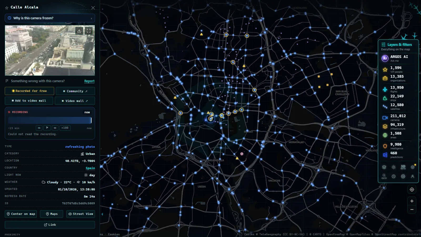
M-30 cameras are distributed across its distinct sections: the eastern arc (the heaviest in the evening peak), the rebuilt southern stretch beside the river, the buried western section, and the tunnel portals. And here comes the honest caveat: the inside of the M-30 tunnels is not published. There are cameras in there (many, and good ones) but they belong to the control centre and their images stay private. What you get on the map is portals, ramps and surface sections.
In practice that is usually enough. A tunnel jams from its exit backwards: if the exit portal is stationary, so is the inside. Learning to read portals is the single most useful skill you can develop with Madrid's cameras.
M-40, M-45 and the six radials: the map that actually matters
The metropolitan area reads like a dartboard: two complete rings, one relief arc, and six radial motorways fanning out from the centre. Those radials are not just Madrid roads, the A-1 to A-6 are the spine of Spain's entire motorway system, which is why the capital's cameras matter to drivers who never set foot in the city.
| Corridor | Area covered | Why it matters |
|---|---|---|
| M-30 | Inner city ring | The fuse: if this is bad, everything else is bad |
| M-40 | Complete second metropolitan ring | The real orbital; the northern and north-western arcs are the hot spots |
| M-45 | South-eastern arc, between M-40 and M-50 | Lets you jump from the A-2 to the A-4 without touching the M-40 |
| A-1 | North corridor, towards Burgos and the sierra | Sunday returns and frequent fog on the high sections |
| A-2 | North-east corridor, towards Zaragoza and Barcelona | The Henares corridor: heavy goods traffic and long-distance commuting |
| A-3 | South-east corridor, towards Valencia | The Mediterranean route: fills the moment a long weekend starts |
| A-4 | South corridor, towards Andalusia | The great August exodus leaves this way |
| A-5 | South-west corridor, towards Extremadura and Portugal | Weekends and second homes to the west |
| A-6 | North-west corridor, towards Galicia and the Guadarrama pass | Mountains, tunnels and the classic Sunday jam |
| Gran Vía and the central district | Inside the M-30 | The real state of the centre: roadworks, closures and events |
One point of scale: M-40 traffic today is almost never uniform. The ring is long enough that its northern arc can be gridlocked while the south runs empty. Looking at "the M-40" means nothing; looking at the specific arc you plan to use means everything.
From the ARGOS ATLAS channel.
Madrid traffic live: how to read it on the map
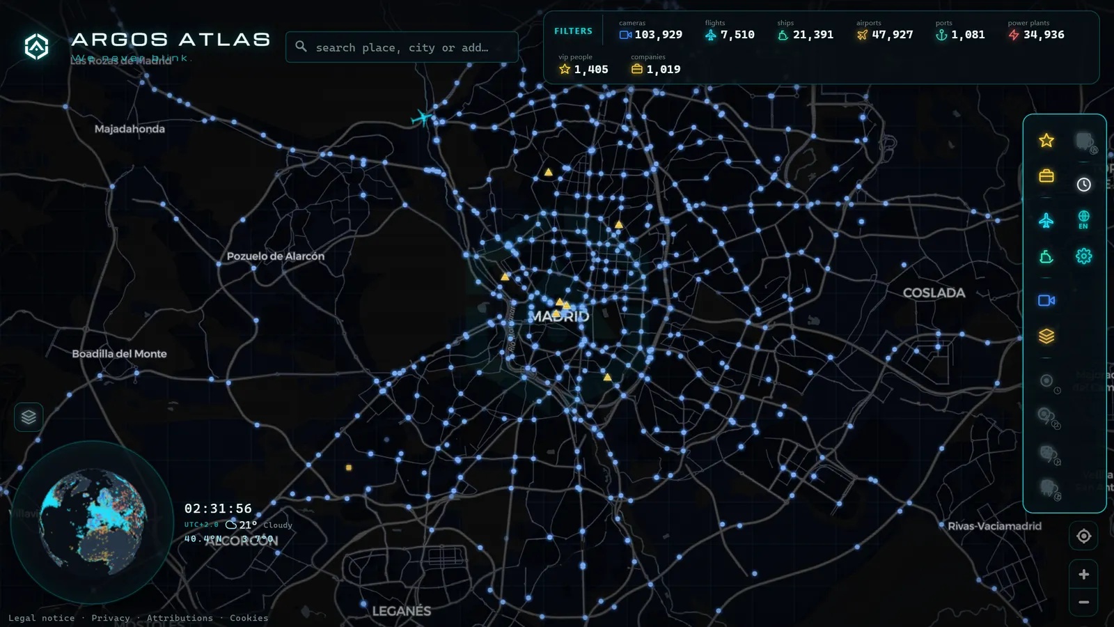
On the ARGOS ATLAS live map, all 1,464 cameras sit on the city's real geometry, and that is half the trick: rings look like rings and radials look like radials, so finding the camera you want takes seconds instead of hunting for a name in a dropdown list.
Click a camera and you get its most recent frame with a timestamp. Most Spanish networks work with still images refreshed frequently rather than continuous video, and for route decisions that does exactly the same job. If the format puzzles you, we break it down in how traffic cameras work and in the general guide to watching traffic live in real time.
One Madrid-specific bonus: the city is a major aviation and logistics hub, so the live flight and airport layers overlap with the camera layer. Cross-checking the A-2 against activity at Barajas is surprisingly useful on an August Sunday evening.
Local habits that only make sense in Madrid
- Think holiday exodus, not rush hour. August's big jams look nothing like a Tuesday in March. They start earlier (Friday midday), leave via the A-3, A-4 and A-5, and concentrate in the first 40 kilometres. Watch the exit cameras, not the city centre.
- The "August Friday" effect. Madrid in August is half-empty on weekdays and completely gridlocked on Friday afternoons and Sunday nights. A clear camera on a Wednesday in August tells you nothing about the weekend.
- Fog on the northern radials. As the A-1 and A-6 climb towards the sierra, they get fog episodes that never show up in a navigation app, because fog does not generate congestion, it generates risk. A camera shows it in one second, and in winter that is the main reason to look.
- Returns hurt more than departures. The trip home compresses into a few hours through the same funnels. The cameras on the M-40 approaches from the A-6 and A-3 on a Sunday afternoon are the best thermometer of the whole metro area.
- Use the camera to interpret the app. When your navigation app turns red, the image tells you why: roadworks, a crash, or plain volume. Those call for different decisions.
What you will not see (worth knowing up front)
Honesty saves time, so here are the real limits:
- The inside of the M-30 tunnels is not public. Repeating it because it is the most common search and the most common disappointment.
- These are not surveillance or enforcement cameras. Their resolution and framing are built to show flow, not people or number plates. Speed cameras and low-emission-zone systems are separate networks with their own hardware and rules.
- Not all of them work all the time. With over a thousand cameras in one area, some are always in maintenance, frozen, or returning a black frame. That is normal, not a map failure.
- Coverage is not uniform. Inside the M-30 and around the rings, coverage is excellent; on secondary roads out in the fringes, much thinner.
Madrid in a European context
With 1,464 public cameras in its metropolitan area, Madrid sits comfortably among Europe's most transparent capitals for traffic data. The interesting part is comparing philosophies: some countries publish continuous video, others publish stills refreshed every few minutes, and a few offer nothing but coloured congestion maps with no imagery at all. Spain is firmly in the generous camp, and Madrid is its best example. For how the neighbours handle it, see our country-by-country round-up of traffic cameras in Europe.
The practical conclusion is simple. In Madrid, checking before you leave costs twenty seconds and usually changes the decision. Open the map, centre it on the M-30, turn on the camera layer and pick the arc you actually need. If the ring is breathing, the city is breathing.
Frequently asked questions
How many traffic cameras does Madrid have?
The ARGOS ATLAS map holds 1,464 public cameras across the Madrid metropolitan area (count as of August 2026). Of those, 357 belong to the Madrid city council network; the rest come from the national road network and the operators of the outer ring roads and radial motorways.
Can I watch Madrid traffic live for free?
Yes. Madrid's traffic cameras are public information feeds and you can view them free, with no account and nothing to install. Each camera opens with its most recent frame and a timestamp, alongside the rest of Spain's public cameras.
Are there cameras inside the M-30 tunnels?
Not public ones. The M-30 tunnels are monitored intensively from the control centre, but those feeds are not published. On the map you get the portals, the ramps and the surface sections, which is what you actually need to judge whether the ring road is moving.
Do these cameras issue fines or measure speed?
No. They are traffic-management cameras with wide, low-resolution shots of the carriageway. Speed enforcement and low-emission-zone systems are entirely separate networks with their own equipment and legal framework.
What is the difference between DGT cameras and city council cameras?
DGT cameras cover the national road network, motorways and intercity approaches, as part of a set of roughly 1,940 cameras across Spain. Madrid city council's 357 cameras cover the city itself: streets, squares, the M-30 and the approaches to the central district.
- Ontario 511 Cameras: Live Map of All 1,670 Highway Feeds
- 511NY Cameras Live: 1,770 NY Traffic Views on One Map
- London Traffic Cameras: 776 TfL JamCams on a Live Map
- Barcelona traffic cameras: the ring roads and AP-7 live
- Chicago Traffic Cameras: 1,114 Live Views on One Map
- Miami Traffic Cameras: 928 Live Views of I-95 and Beyond