Blog · Traffic cameras
Sicily traffic cameras: the A19, the A18 and the Messina run
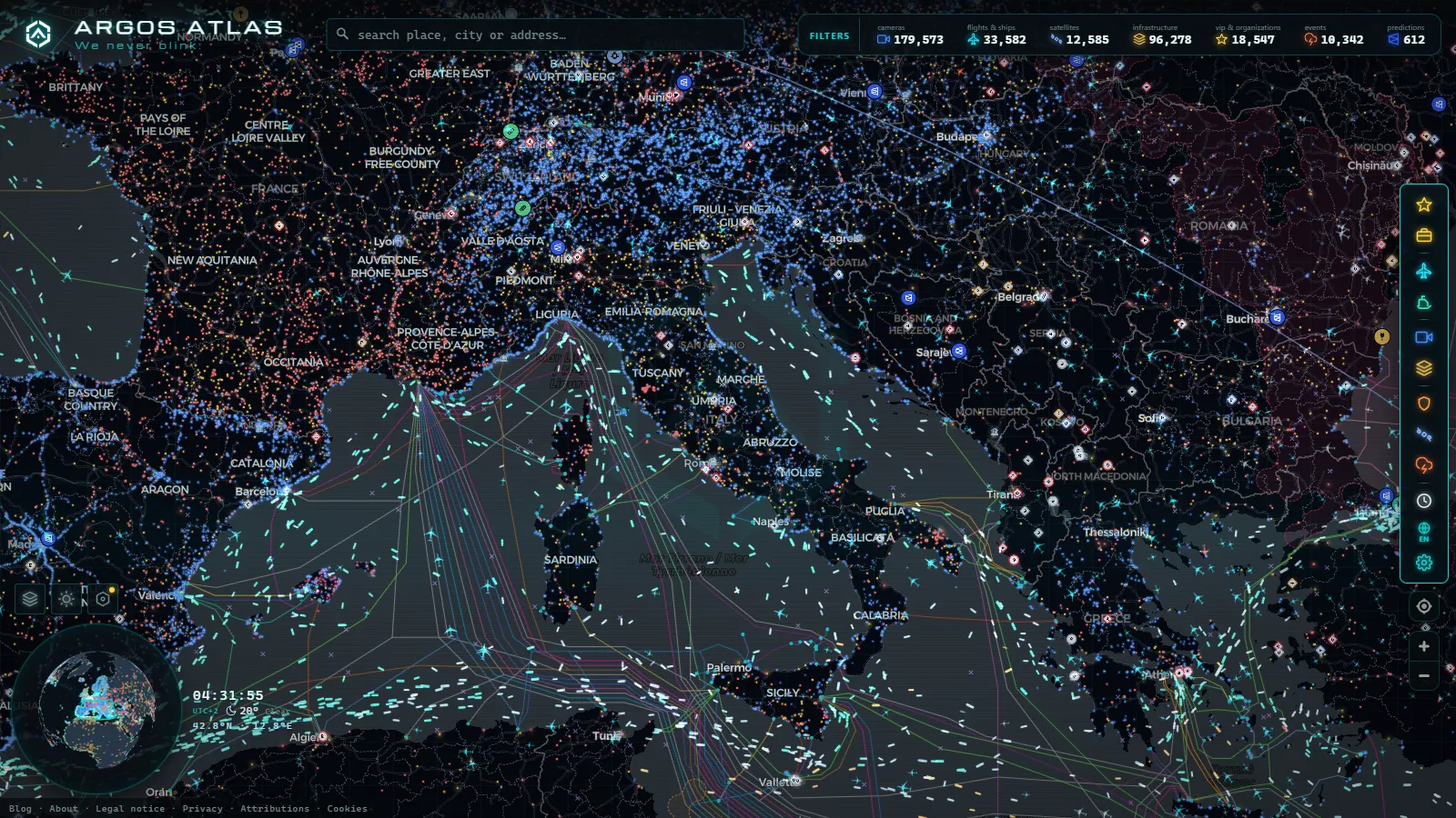
Sicily is where the Italian motorway map stops behaving. Autostrade per l'Italia, the concession behind most of the camera feeds you see on the mainland, does not operate a single kilometre on the island. What you get instead is a split network: ANAS on the toll-free trunk roads, the Consorzio per le Autostrade Siciliane (CAS) on the tolled stretches that fan out from Messina, and a thin layer of municipal and port cameras that answer to nobody in particular.
That split is why a search for Sicily traffic cameras usually dead ends. The national dashboards cover the island unevenly, the two operators publish in different places and in different formats, and a good part of what they publish is a refreshed still image rather than a video stream. This guide is the regional layer that sits between the country view and the two cities dense enough to deserve their own pages: the Palermo cameras and port guide and the Catania traffic cameras guide go street by street, so this one stays on the corridors between them.
The essentials, in 20 seconds
- ANAS runs Sicily's toll-free trunk roads, including the A19 and A29, while CAS operates the tolled stretches out of Messina.
- A19 is the island's only toll-free east-west spine, climbing through the Madonie foothills between Termini Imerese and Enna.
- A18 between Messina and Taormina runs mostly inside tunnels, so published feeds show portals, not interiors.
- SS640 between Agrigento and Caltanissetta has new viaducts and tunnels, with patchy camera coverage on the rebuilt sections.
- 200,000+ public cameras worldwide sit on one live map, so Sicily's A19, A18 and the Trapani or Agrigento branches can be checked without switching tabs.
What Sicily traffic cameras actually cover, and who runs them
Think of the island as three camera families rather than one network. The first is ANAS, which manages the free autostrade (the A19 and the A29) plus the rebuilt trunk roads inland and the long coastal state roads. The second is CAS, which runs the tolled Ionian and Tyrrhenian stretches out of Messina. The third is everything municipal or port-owned: ring roads, seafronts, ferry ramps.
Coverage follows money and risk, not distance. Cameras cluster at interchanges, viaducts, tunnel portals and toll plazas, and thin out badly on the long inland runs where a breakdown is most likely to matter. There is no single Sicilian dashboard that shows all three families at once, which is the practical problem this page exists to solve.
| Corridor | Route | Operator | Toll | What the cameras typically show |
|---|---|---|---|---|
| Palermo to Catania | A19 | ANAS | Free | Interchanges, viaducts, the Enna high ground |
| Messina to Catania | A18 | CAS | Tolled | Tunnel portals, Taormina and Giardini Naxos exits |
| Messina to Palermo | A20 | CAS | Tolled in sections | Toll plazas, Cefalù and Sant'Agata approaches |
| Catania to Siracusa | A18 south | Free | Free | Augusta industrial exits, Siracusa approach |
| Palermo to Trapani and Mazara | A29 and A29dir | ANAS | Free | Alcamo split, Birgi airport branch |
| Agrigento to Caltanissetta | SS640 | ANAS | Free | New viaducts and tunnels, Canicattì area |
| The south coast | SS115 | ANAS | Free | Sparse, town bypasses only |
| Palermo ring | Viale Regione Siciliana | Municipal | Free | Urban junctions, covered in the city guide |
| Messina Strait | Ferry ramps | Ports and ferry operators | Ticketed crossing | Approach roads, some port areas |
The A19 is the island's only real spine
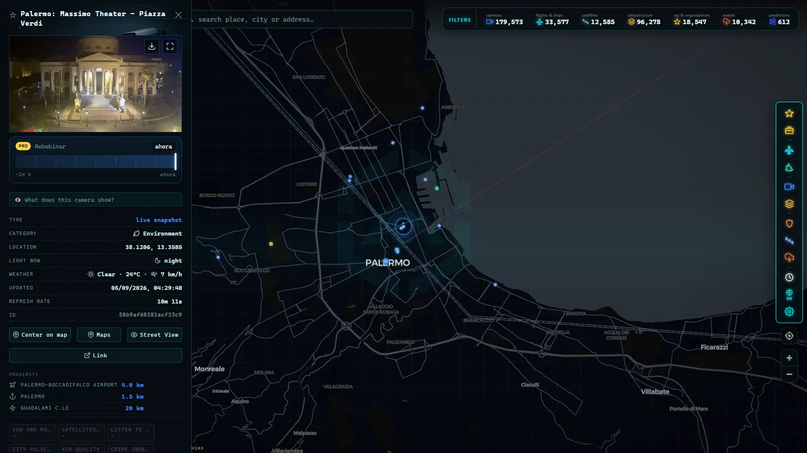
Everything east to west runs on the A19. It is toll-free, it carries freight and holiday traffic at the same time, and it has spent years in a permanent state of partial repair. The stretch that matters most for camera watching is the climb inland: past Termini Imerese the road leaves the coast, works up through Caltavuturo and Tremonzelli, and crosses the Madonie foothills before dropping toward Enna and Catenanuova.
Two things go wrong there and both are visible on camera. Fog sits on the high sections in winter and spring, often while the coast is clear, so a frame from the Enna area can be white while a frame twenty minutes back is sunny. And the viaducts are the choke points: the failure near Scillato that forced long detours is the reason single-carriageway restrictions still appear on stretches that look like a full motorway on the map.
What the cameras will not tell you is which lane is closed. A still frame from a fixed mast shows a queue but rarely the cone taper that caused it. If you see stationary traffic on the A19 and no obvious reason, assume roadworks rather than an incident, because on this road that is the safer bet.
From the ARGOS ATLAS channel.
The A18 and the Messina approaches
The run from Messina down to Catania is the most engineered road on the island and the least camera-friendly. Between Messina and Taormina the A18 spends more time inside the mountain than outside it, threading tunnel after tunnel above Sant'Alessio and Letojanni. Tunnel interiors are monitored for safety but those feeds are not published, so what you get is portals, the Taormina and Giardini Naxos exits, and the open coastal gaps.
Messina itself is a special case because the traffic problem is not the city, it is the crossing. Ferry approach roads at Rada San Francesco and the freight ramps at Tremestieri back up onto the local network when a sailing slips, and that backup is what the approach cameras show. The queue inside the terminal usually is not published at all.
For the crossing itself, cameras are the wrong instrument. Ship transponders are the right one: the Caronte & Tourist and Blu Jet vessels broadcast position continuously, so you can see whether boats are running and how they are spaced. If that is unfamiliar territory, how AIS ship tracking works explains what the signal is and where it comes from.
Trapani, Agrigento and Siracusa are the thin end of the network
West of Palermo the A29 splits at Alcamo, one branch to Trapani and the Birgi airport, the other to Mazara del Vallo. It is a fast, empty, exposed road, and the useful thing to check is not congestion but crosswind over the salt pans, which occasionally shows up as debris warnings rather than as anything you can see in a frame.
Agrigento is the hardest of the four to watch. Its main inland link, the SS640 up to Caltanissetta, has been rebuilt as a dual carriageway with new tunnels and viaducts, and camera coverage on the new sections is patchy. The alternative, the SS115 along the south coast, is a single carriageway that crawls through town after town and is close to a blind spot: expect bypass cameras at best, nothing between them.
Siracusa is better served because the toll-free A18 continues south from Catania past the Augusta petrochemical belt. That industrial corridor is where the traffic actually concentrates, with heavy vehicles joining and leaving all day. The city end, the approach to Ortigia, behaves like an urban network rather than a motorway one and is covered by municipal cameras with their own rules.
Which Sicily traffic cameras give video and which give a still image
This is the distinction most guides skip, and it changes what the tool is good for. A large share of the island's public feeds are periodic JPEGs, refreshed on a cycle measured in minutes. You can see a queue, standing water, snow on the inland sections in January, or an empty carriageway at dawn. You cannot watch an incident develop, and you cannot count vehicles in motion.
The honest checklist before you trust a Sicilian frame:
- Read the timestamp. A stale image and a fresh one look the same. If the clock in the corner is an hour old, the road may have cleared or closed since.
- Assume nothing at night. Many masts have no infrared and no dedicated lighting, so after dark you get headlight smear or a black rectangle.
- Do not expect plates or faces. Resolution on public traffic feeds is deliberately low, and that is a design decision rather than a limitation.
- Tunnels are blind. Portals yes, interiors no.
- Dead cameras stay dead. A feed that has been frozen for weeks is common on the less trafficked routes, and why a traffic camera stops working covers how to tell a broken feed from a quiet road.
One more limitation worth naming: the enforcement cameras, the fixed speed devices and the average-speed sections, are not part of any public feed. They exist on some of these roads. They are simply not the cameras you are looking at.
Planning a drive with Sicily traffic cameras on one map
The practical fix for a two-operator island is to stop visiting operator sites and put every feed on the same canvas. On the live map of public traffic cameras you can pan to Sicily, follow the A19 west to east, jump to the A18 and the Messina approaches, and check the Trapani or Agrigento branches without changing tabs. The camera layer is one slice of a catalogue that spans 200,000+ public cameras worldwide (count as of September 2026), and Sicily is one of the places where seeing two networks side by side actually changes a routing decision.
The island also rewards the layers that are not cameras. Flights into Catania Fontanarossa, Palermo Punta Raisi, Trapani Birgi and Comiso are visible as live positions, which is a decent proxy for whether weather is disrupting the east coast. Ship traffic through the Strait tells you about the ferries. Together they answer questions that no single road camera can.
For the wider national picture, including the Alpine passes and the concessions that do not reach the island, the Italy traffic cameras guide is the parent page. Read this one first if your route stays south of the Strait, because on Sicily the national rules mostly do not apply.
A short pre-departure routine that works here
- Decide which operator owns your route using the table above. It determines where the feed comes from and how often it refreshes.
- Check two cameras, not one: the corridor entry and a point halfway. A single frame cannot distinguish a local hold-up from a closed section.
- On the A19 in winter, check an inland camera as well as a coastal one. The weather is genuinely different at altitude.
- If Messina is involved, check ship positions before road cameras. The road queue is downstream of the sailing schedule.
- Treat any frame older than the refresh cycle as no information at all, rather than as good news.
Frequently asked questions
Is it free to watch Sicily traffic cameras, and do I need to register?
Yes, it is free and no account is needed. ARGOS ATLAS opens straight into the map with no registration, no email and no trial, because the feeds themselves are published by road operators as public information. The only thing you cannot skip is the operator's own uptime: if ANAS or CAS takes a camera offline, nobody can show you an image of that spot.
Does Autostrade per l'Italia operate any motorway in Sicily?
No. That concession runs nothing on the island, which is why its dashboard is empty for Sicily even though it covers most of the mainland. On the island the tolled stretches around Messina belong to the Consorzio per le Autostrade Siciliane and the toll-free trunk roads, including the whole A19, belong to ANAS.
Are the cameras on the A19 live video or still images?
Most of the trunk road cameras publish a refreshed still image rather than a continuous stream. The frame updates in minutes, not seconds, so you can see whether a carriageway is queued but not follow an individual vehicle. Always read the timestamp on the frame before you trust it: a stale image and a live one look identical.
Can I see the Messina Strait ferry queues from a camera?
Partly. Cameras cover the approach roads and some port areas around Rada San Francesco and Tremestieri, so you can judge whether the ramps are backed up. The queue inside the terminal and the boarding lanes are usually not published. For the crossings themselves, AIS ship positions are a better signal than any camera.
Why do so many cameras between Messina and Taormina show nothing useful?
That stretch is mostly tunnel and viaduct. Tunnel interiors are monitored for safety but those feeds are almost never published, so the public cameras sit at the portals and at the few open sections. Add a low sun angle over the Ionian coast in the morning and a good share of frames come back washed out.
- Verona traffic cameras: the A4, A22 and the Garda exits live
- Tokyo Traffic Cameras: What Each Corridor Really Shows
- Alberta 511 Traffic Cameras: Calgary, Edmonton and the Passes
- Salerno traffic cameras: the A2, the coast road and the port
- Greece Traffic Cameras: Live Roads From Athens to Crete
- North Carolina Traffic Cameras: I-40, Charlotte and NC-12