Blog · Traffic cameras
Padua Traffic Cameras: the Tangenziale, the A4 and the A13
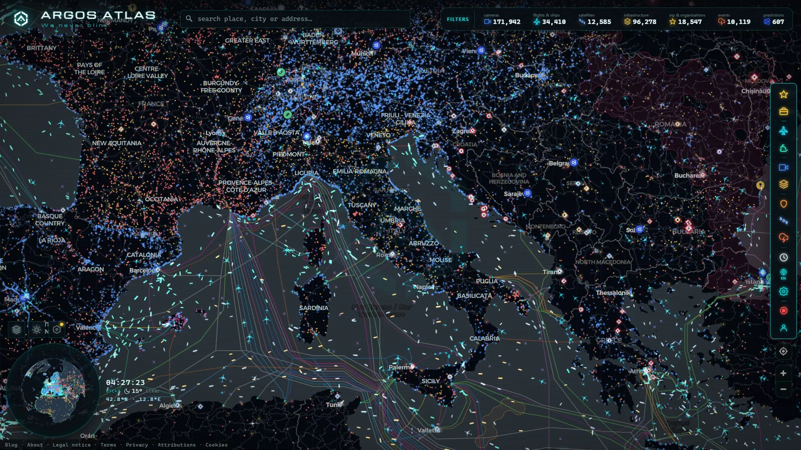
Search for Padua traffic cameras and the result comes out lopsided. Padova sits on the busiest road corridor in northern Italy, where the A4 from Milano to Venezia meets the A13 heading down to Bologna, and yet almost every live image you can actually open belongs to a motorway operator. The city itself publishes very little. What you get is the belt around Padova, not the streets inside it.
The belt is worth watching anyway, because that is where Padova jams. This page covers the tangenziale, the ramps onto the A4 towards Venezia and towards Vicenza, and the first kilometres of the A13: which operator puts each image online, how old that image usually is when you look at it, and where coverage simply stops. For the wider country first, the guide to traffic cameras in Italy covers Autostrade, ANAS and the Alpine passes.
What you see when you search for Padua traffic cameras
The results fall into three groups, and they are not evenly spread.
The first is the A4 corridor, east and west of the city: the Padova Ovest and Padova Est toll gates, the interchange where the A13 branches off, and the stretches running towards Grisignano di Zocco on one side and Dolo on the other. This is the densest group and the most dependable.
The second is the head of the A13, the first few kilometres towards Terme Euganee and Monselice, with the Padova Zona Industriale and Interporto exits in between. Padova's inland freight terminal is one of the largest in Italy, so this is truck traffic, and truck traffic behaves differently from commuting: it builds earlier in the morning and it does not thin out at lunchtime.
The third is a thin scatter on the ring and the regional roads, the SS47 Valsugana towards Trento and the SR308 del Santo towards Castelfranco Veneto. Thin is the accurate word. Some junctions have an image, plenty do not, and a few that once did have gone quiet after roadworks.
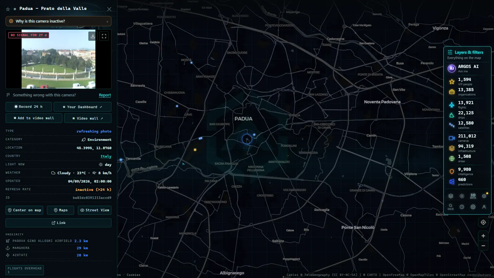
Inside the walls there is essentially nothing, and that is deliberate rather than an oversight. The cameras around Prato della Valle, the Basilica del Santo or the tram line are either ZTL enforcement gates (varchi) or control room feeds. Enforcement cameras are never published anywhere, for the reasons set out in the piece on what traffic cameras record and what the law says.
The tangenziale: a ring of corsi, not a motorway
Padova's ring road is not a motorway and it does not behave like one. It is a chain of urban dual carriageways named after countries and cities, corso Australia, corso Argentina, corso Stati Uniti, corso Boston, with signalised junctions at short intervals. A motorway queue is long and it creeps. The tangenziale locks at the junctions instead, so the congestion is local: one corso can be stationary while the next is running clear.
That changes what a camera is good for here. A still refreshed every few minutes will never give you an average speed, but it does answer the only question you have at that moment: is this particular junction blocked, and do I keep going round or cut through the city.
The two peaks are the usual ones, roughly 07:30 to 09:00 and 17:30 to 19:00, with a third on Saturday afternoon around the retail belt to the north and east. Add the months from November to February, when fog off the Po valley plain settles over the ring for entire mornings, and you have the reason a local checks an image before picking up the keys.
The A4 and the A13: three concessionaires around one city
This is the part that catches out anyone used to a single national road operator. Three different companies publish the motorway images around Padova.
West of the city, the A4 towards Vicenza and Verona belongs to the Brescia-Verona-Vicenza-Padova concession (A4 Holding). East of the city, the A4 towards Venezia, along with the A57 Passante and the tangenziale di Mestre, belongs to Concessioni Autostradali Venete (CAV). The A13 towards Bologna is Autostrade per l'Italia. On the regional network it is Veneto Strade, and on the SS47 it is ANAS.
The practical consequence is that naming, image size, camera density and update behaviour all change depending on which side of Padova you are looking at. Cameras are normally labelled by kilometre post rather than by exit name, and the counts restart on each motorway, so "km 12" is two entirely different places on the A4 and the A13. Placing them by coordinates is what turns three separate lists into something that reads as a ring.
The interchange itself, where the A13 peels off the A4 near Padova Est and the Zona Industriale, is the single most useful point to watch. A backup there propagates in three directions within minutes.
From the ARGOS ATLAS channel.
Who publishes each Padua traffic camera, and how often it refreshes
No operator publishes a refresh interval, so treat the last column as observed behaviour and not as a specification. The honest method is to read the timestamp printed on the image, reload, and see how far it moved.
| Road | Who publishes the image | What you get | How fresh it usually is |
|---|---|---|---|
| A4 Padova-Venezia, A57 | Concessioni Autostradali Venete (CAV) | carriageway stills at toll gates and interchanges | around a couple of minutes |
| A4 Padova-Vicenza-Verona | A4 Holding (Brescia-Verona-Vicenza-Padova) | lane level stills, fewer cameras per kilometre | around a couple of minutes |
| A13 Padova-Bologna | Autostrade per l'Italia | gantry stills at exits and service areas | a few minutes |
| Tangenziale and city approaches | Comune di Padova, Veneto Strade | wide junction shots, modest resolution | a few minutes, irregular |
| SS47 Valsugana, SR308 del Santo | ANAS, Veneto Strade | patchy, mostly junction views | minutes, some feeds static for hours |
| Colli Euganei webcams | private operators and hotels | landscape, good for judging fog | seconds to a minute |
Two things follow from that table. None of these is video, so a still that is three minutes old during a jam that started four minutes ago will look reassuringly calm. And the bottom row is not road infrastructure at all: private webcams up in the Colli Euganei refresh faster than any traffic camera in the province and are the quickest way to tell whether the fog is sitting on the plain before you commit to the ring.
Padua traffic cameras compared with Venice, Treviso and Verona
| City | What the cameras really watch | Coverage | Most useful single view |
|---|---|---|---|
| Padova | commuter ring plus freight into the Interporto | solid on the motorways, thin on the ring | the A4 and A13 interchange at Padova Est |
| Venezia | one causeway feeding one car park | dense around a single choke point | Ponte della Liberta itself |
| Treviso | motorway links towards the mountains and the coast | medium | the A27 and A4 corridor |
| Verona | two national corridors crossing, plus lake tourism | dense | the A4 and A22 interchange |
Venice is a choke point city: everything arriving by road crosses one causeway, so the Venice traffic cameras on the Ponte della Liberta explain the entire system with a handful of images. Verona is a crossing, which is why the Verona cameras on the A4 and the A22 matter far beyond the city, especially when Garda tourism doubles the summer load. Treviso is a feeder, and the Treviso cameras on the A27 and the A4 are mostly about getting to the Dolomites or the Adriatic coast.
Padova is none of those. It is a working city with tens of thousands of university students, a major freight terminal and a ring built to absorb traffic that never enters the centre. Its cameras are functional and unglamorous, and there are fewer amateur webcams pointed at it because it draws fewer tourists than its neighbours. If you arrived hoping for a pretty live view of Padova, the honest answer is that you will find better pictures of the Colli Euganei than of Piazza delle Erbe.
What you cannot see around Padova
- Number plates and faces. Public feeds are published at a resolution that makes identification impossible, and that is a design choice, not a limitation of the hardware.
- Enforcement cameras. ZTL varchi, bus lane gates and speed enforcement are not published by anyone, in Padova or anywhere else in Italy.
- Anything useful at night on the ring. Municipal cameras give you headlight streaks and little else. Motorway cameras hold up better because they are lit and better exposed.
- Through fog. From late autumn the camera keeps working and the frame turns white. That is still information, just not the information you wanted.
- The past. These are current frames with no archive. If you need to know what the junction looked like an hour ago, there is nowhere to look.
- Tram and bus timing. The SIR tram lines cross several ring junctions, so you see their effect on the queue but never their schedule.
- River levels. The Bacchiglione and the Brenta ring the city, and no camera in this set is pointed at a gauge.
How to read the Padua ring in two minutes
Open the live map of public traffic cameras, zoom onto Padova and work in this order.
- Start at the A4 and A13 interchange near Padova Est. If that is moving, the rest of the ring is usually survivable.
- Add one camera on the side of the tangenziale you actually need, north or south. The ring is not symmetric and a jam on corso Australia says nothing about corso Stati Uniti.
- Check the A13 head towards Terme Euganee if you are heading south, because the Interporto exits load independently of the commuter peak.
- Read the timestamp on every image before you trust it. A camera that is five minutes behind during a building queue is worse than no camera.
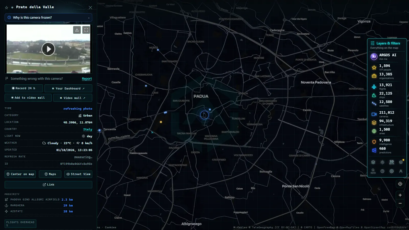
- Treat a frozen frame as missing data, not as clear road. Reload once, and if nothing moves, use the neighbouring camera instead.
The map is free, needs no account and holds public cameras from every operator that publishes them, 171,942 of them worldwide (count as of September 2026). Padova is a small corner of that, and a well documented one once you know that three companies, not one, are behind the images.
Frequently asked questions
Are the Padua traffic cameras free and live, and do I need an account?
They are free and no registration is needed. \"Live\" deserves a caveat: almost every road camera around Padova publishes a still image that is replaced every few minutes, not a video stream. You are looking at something that happened one to five minutes ago, which is fine for deciding a route and useless for watching a specific vehicle.
Can I see the tangenziale di Padova itself, or only the motorways?
Both, but unevenly. The A4 and A13 cameras are dense and dependable because motorway concessionaires publish them as a matter of course. Coverage of the ring (corso Australia, corso Argentina, corso Stati Uniti) is thin: some junctions have an image and many do not, and several municipal cameras are control room feeds that are never made public.
Who operates the cameras on the A4 and the A13 around Padova?
Three concessionaires split the ring. Concessioni Autostradali Venete (CAV) covers the A4 east towards Venezia and the A57. A4 Holding, the Brescia-Verona-Vicenza-Padova concession, covers the A4 west towards Vicenza. Autostrade per l'Italia covers the A13 down to Bologna. On the regional roads it is Veneto Strade and ANAS, and inside the city the Comune di Padova.
How often does a Padova camera image refresh?
Operators do not publish a refresh specification, so the honest answer is to measure it yourself: read the timestamp on the image, reload, and see how far it moved. In practice the motorway feeds land around a couple of minutes and the municipal and regional ones are slower and more irregular.
Why is a Padua traffic camera black, white or frozen?
Four common reasons. At night many ring cameras only capture headlight streaks. From November to February the fog off the Po valley plain turns the frame white while the camera works perfectly. Maintenance and roadworks take feeds offline or rename them. And some cameras keep serving the last good frame instead of an error, so an image that never changes is a dead feed, not empty road.
- Louisiana Traffic Cameras: 545 on a Live Map, I-10 and Bridges
- Bavaria Traffic Cameras: A8, A9 and 6 Alpine Border Routes
- Lugano traffic cameras: the A2, Chiasso and the lake live
- Christchurch Traffic Cameras: Live Now, Free, No Sign-up
- Yunlin Traffic Cameras: What You See on National 1 and 3
- Poland Traffic Cameras: Live Views of the A4, A2 and Gdansk