Blog · World webcams
Hurricane Live Cameras: Watch Miami's 982 Feeds This Season
Tracking a hurricane live no longer means waiting for the evening news: public cameras on coasts, ports and highways tell the story in real time, from the first ground swell to the crews clearing branches. The 2026 Atlantic season is shaped by El Niño (benchmark forecasts call for 8 to 14 named storms, below average) but July already produced a tropical storm with two Gulf Coast landfalls, and the historical peak starts now: August, September, October.
This guide shows how to build your own storm watch with live cameras: what to look at in each phase, which camera type tells you what, and how to read even the outages.
The 2026 season in context
Two verifiable facts frame the year. First: El Niño is strengthening, and that pattern tends to suppress Atlantic cyclone formation, hence the forecast range of 8 to 14 named storms, below the historical average. Second: "below average" does not mean quiet. Tropical Storm Bertha made two Gulf Coast landfalls in late July, bringing coastal flooding and beach erosion, and waters off the southeastern United States remain flagged as a trouble spot through mid-August.
The old lesson stands: one well-placed cyclone is enough to define an entire season. And the most honest way to understand what a storm does on the ground is to watch it through the area's own cameras.
Which camera to watch at each stage
Every type of public camera tells a different part of the story. Here is how the work splits:
| Stage | Cameras to watch | What they tell you |
|---|---|---|
| Days ahead | Beaches and boardwalks | Ground swell arrives before the wind: building surf under a still-blue sky |
| 24-48 h out | Ports and marinas | Ships leaving for shelter or doubling their lines: the professionals have decided |
| 12-24 h out | Traffic cams on evacuation routes | Real evacuation density, reversed lanes, gas stations |
| During | Whatever stays up, mostly traffic cams | Horizontal rain, empty streets, and the outage map drawing the impact zone |
| After | Everything, neighborhood by neighborhood | Residual flooding, visible damage, utility crews, recovery |
Two power-user notes. Official highway cameras are usually the most resilient: they hang off power and data networks built for emergencies. And when a whole cluster of cameras goes dark at once, that is data too, you just watched the edge of the blackout, which tends to match the worst of the wind.
Building your storm watch on one map
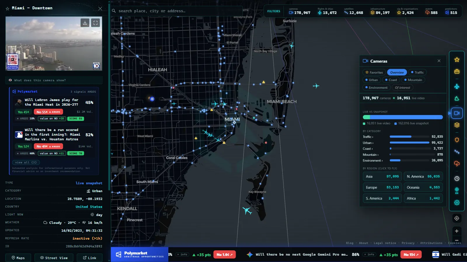
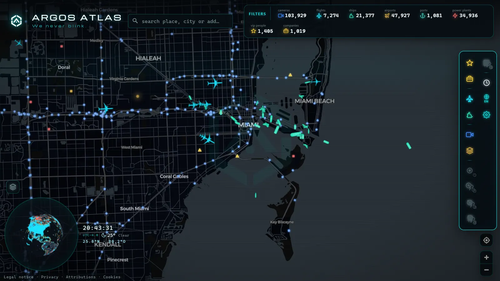
The comfortable way to do all this is an aggregator map instead of twenty tabs. The ARGOS ATLAS map gathers more than 200,000 public cameras worldwide (more than 5,500 in Florida alone) next to layers that complete the picture during a cyclone:
- Beach and port cameras for surf and shelter, with Florida's traffic cameras as the backbone in the most exposed state.
- Live flights: airports emptying before impact and the trickle of reopenings afterward are one of the cleanest indicators of actual conditions.
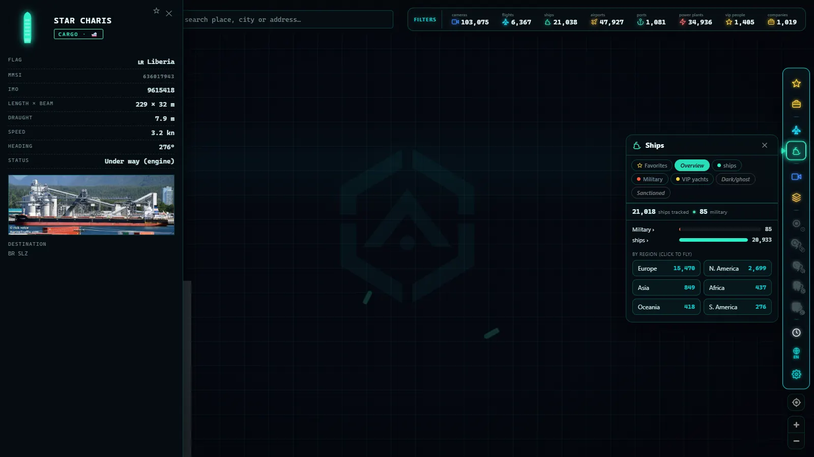
- Live ships: the anchorage dissolving toward safe water is among the first visible moves, hours before the sky changes.
- Verified events: geolocated alerts and incidents give context to what the camera shows.
The practical method: find the warning area, open three or four key feeds (one beach, one port, two highways), and check back every few hours. Add sky and visibility to the picture with the area's weather webcams.
From the ARGOS ATLAS channel.
Reading an evacuation through traffic cameras
Evacuations are where road cameras earn their keep, because they show what no bulletin summarizes well: whether people are actually leaving, and how fast. The keys:
- Compare directions: in a serious evacuation one side is loaded and the other nearly empty; if contraflow lanes are activated, you will see it on camera directly.
- Watch the on-ramps, not just the mainline: real bottlenecks form at the merges.
- Off-peak hours matter more: dense traffic at 3 AM means genuine urgency.
- After the storm passes, the same cameras tell you when bridges and causeways reopen, well before the press release confirms it.
A quick pre-storm camera checklist
If a watch or warning has just been issued for an area you care about, this five-minute routine sets you up for the whole event:
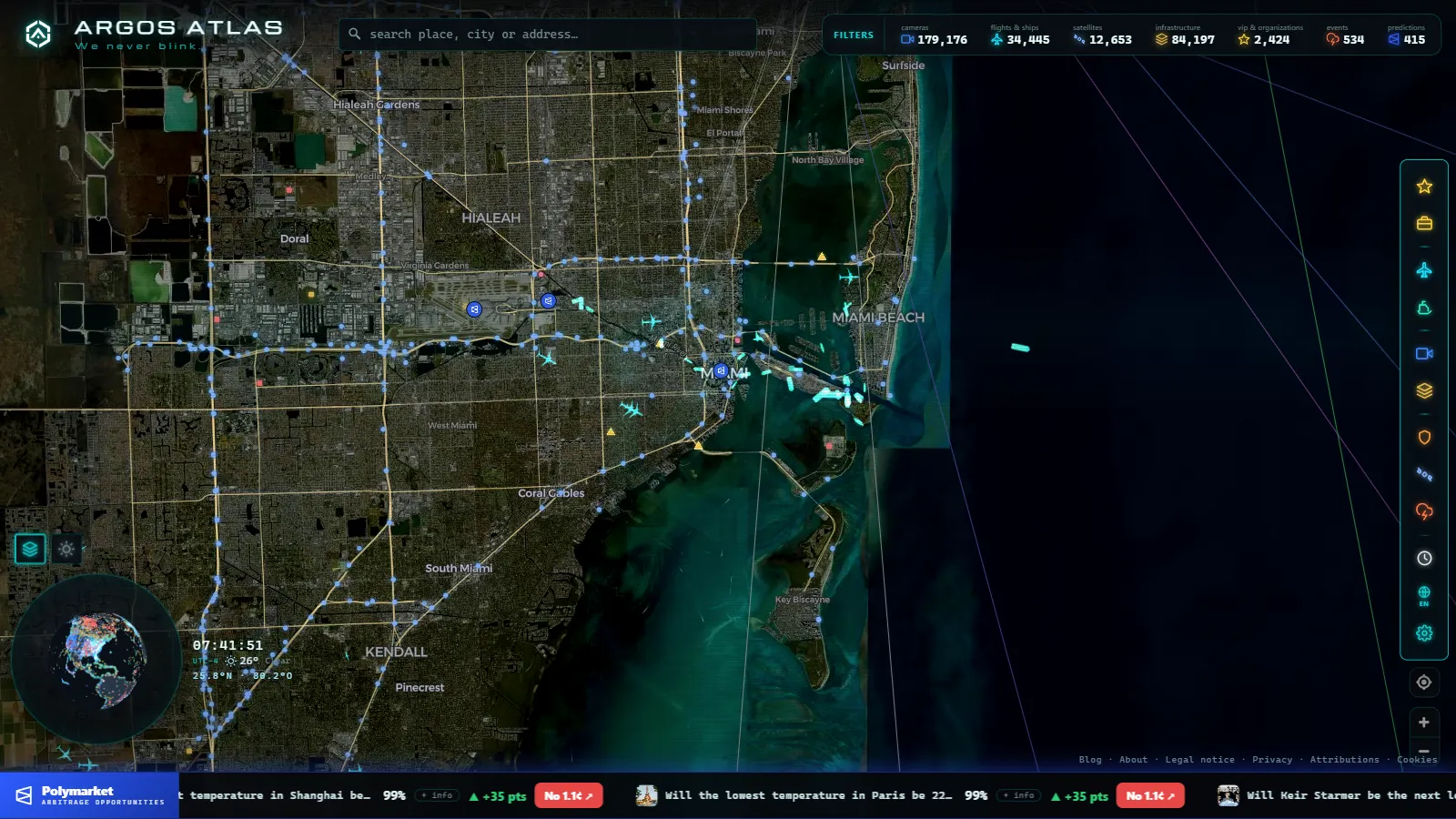
- Bookmark the geography first: open the map, find the warning area and note which coast faces the forecast track, that is where the surf cameras matter.
- Pick your "canary" beach cam: one exposed, west- or south-facing feed that will show the swell change before anything else does.
- Choose two evacuation-route traffic cams: one urban interchange, one highway segment heading inland. Those two frames will tell you more about real conditions than any color-coded congestion layer.
- Locate the port: check where ships are anchored now, so you notice when the anchorage starts to empty.
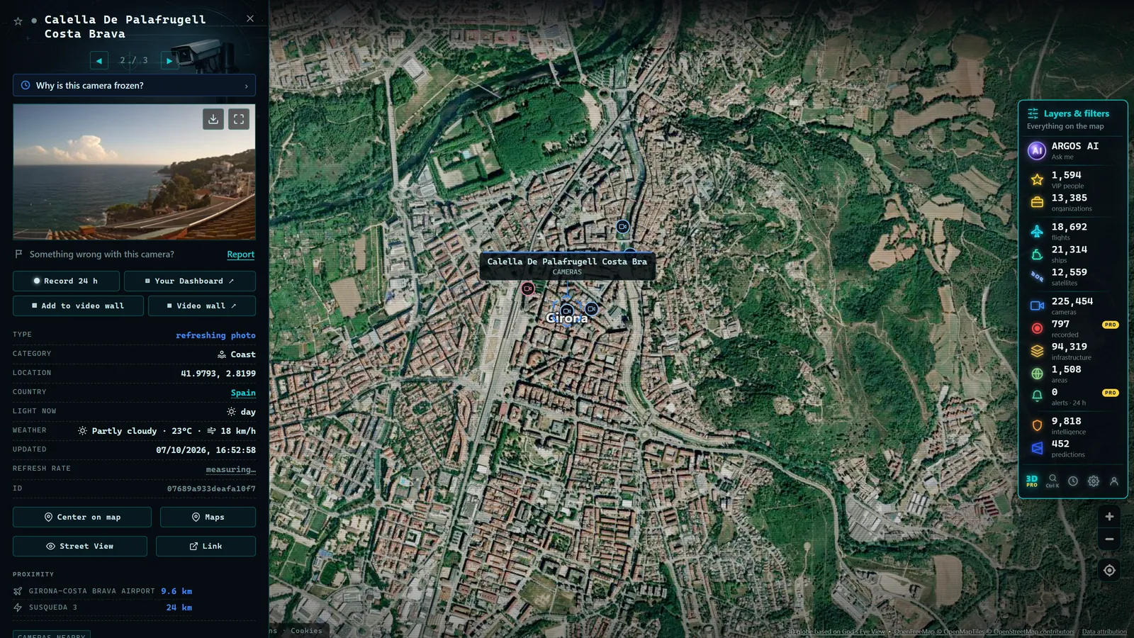
- Note the timestamps: learn each camera's refresh rhythm while the weather is still calm, during the storm, knowing what "stale" looks like is what keeps you from misreading a frozen frame.
Do this once, and during the actual event you are reading a story you already know the setting of, instead of scrambling through unfamiliar feeds while the wind rises.
Watch with respect
One final note we repeat often at ARGOS ATLAS: these cameras are public and informational, and during a disaster they deserve to be used sensibly. They help you understand the situation, verify what circulates on social media and (if you are in the area) make better decisions. They do not replace instructions from local authorities: if your zone is under an evacuation order, the camera is something you check from the car, already moving.
For everyone else, they are the most honest window onto one of nature's most serious spectacles: no added drama, no editing, in real time. When the first serious warning of this season lands, you know where to look: the live map, a handful of well-chosen cameras, and a little judgment to read them.
Frequently asked questions
How can I watch a hurricane live online?
Combine public cameras in the affected area (beaches, ports, traffic) with a live map. Coastal cams show the building swell and the arriving rain bands; traffic cams show the real state of evacuations and roads.
What is the 2026 Atlantic hurricane season outlook?
Benchmark forecasts point to a below-average season, with between 8 and 14 named storms, driven by a strengthening El Niño. Even so, July already brought Gulf Coast landfalls, and the historical peak runs from August through October.
Which cameras are best for following a storm?
Beach and boardwalk cams for the surf, port cams for sheltering ships, and traffic cams for evacuations and road conditions. Official highway cameras tend to be the last to go down because they run on hardened networks.
Do cameras keep working during a hurricane?
Up to a point: as winds strengthen or power fails, cameras drop offline in clusters. That outage pattern is informative in itself, it draws the edge of the blackout, which usually matches the worst of the wind.
Can I track hurricanes for free without signing up?
Yes. Public cameras from road and port authorities are open, and aggregator maps like ARGOS ATLAS gather them next to live flights and ships with no registration.
- Perseids 2026: when to watch and how to see them live
- Canary Islands webcams: 642 live cameras, island by island
- Solar eclipse 2026 live stream: how to watch it safely
- Airport Webcams Live: Plane Spotting From Your Screen
- Nepal Live Map: What You Can Actually Track in Real Time
- Antarctica live map: what you can really watch right now