Blog · World webcams
Canary Islands webcams: 642 live cameras, island by island
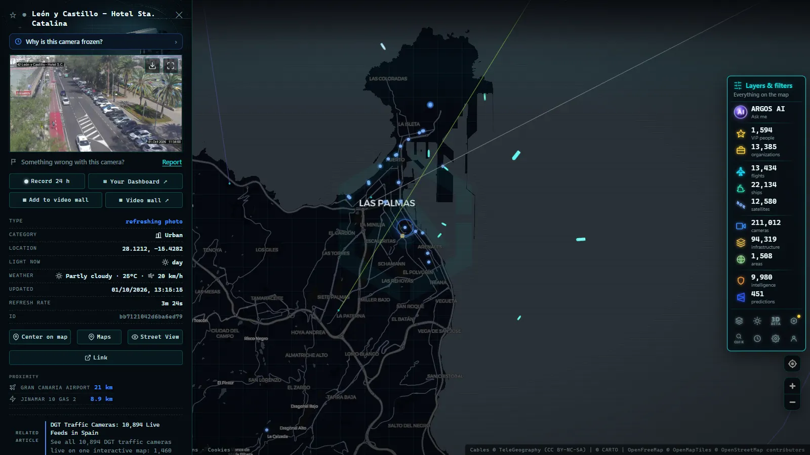
The Canary Islands are, by a wide margin, the most heavily "webcammed" corner of Spain. The map holds 642 public cameras across the archipelago (map count as of August 2026), and 362 of them are in Tenerife. For context: seven islands with fewer residents than a single large mainland city, covered at a density most entire Spanish regions cannot match.
The reason has three legs: tourism (half the islands make a living from showing you what the beach looks like today), terrain (summits, viewpoints and roads where the weather changes every few hundred metres of altitude) and the skies (the Canaries export images of stars the way they export bananas). This guide covers what you will find island by island, what each type of camera is actually good for, and where the small print is.
How many Canary Islands webcams there are, and why so many
Those 642 cameras are nowhere near evenly spread. Tenerife accounts for more than half, and the rest is distributed across the other six islands with a very recognisable logic: where there is tourism there is a camera, where there is a port there is a camera, and where there is a mountain road that fogs up, there is one too.
The imbalance is not a flaw in the map; it reflects who installs cameras and why. A hotel in southern Tenerife has an obvious commercial reason to show its pool and the sea. A village in the interior of La Gomera has none. The result is excellent coverage along the tourist coast, good coverage on summits and in ports, and thin coverage inland.
What that density buys you is one very specific, very Canarian thing: being able to confirm in thirty seconds that it is raining in the north while the sun is out in the south, something that happens here daily and that no general forecast captures well.
Canary Islands webcams island by island: what dominates where
| Island | Dominant camera type | What it's good for |
|---|---|---|
| Tenerife (362 cameras) | The fullest network: south and north coasts, summits and Teide, towns, ports and access roads | Seeing both of the island's climates at once, and summit conditions before you drive up |
| Gran Canaria | Southern and eastern beaches, the capital and the port frontage | Checking the sea at the big resort beaches and activity in the Las Palmas port |
| Lanzarote | Tourist coastline and seafront towns, with plenty of pool-and-promenade framing | Sea and wind on the east coast; a read on how busy the season is |
| Fuerteventura | Open beaches and windy stretches | The visual wind gauge: beach day or board day |
| La Palma | High ground and summit surroundings, plus coast and harbours | Sky and cloud cover at altitude, with the cleanest horizons in the archipelago |
| La Gomera | Coastal towns and the ferry harbour, sparser coverage | Whether the sea is calm enough for a comfortable crossing |
| El Hierro | Coast and harbours, small network | Sea state on the island with the fewest fallbacks if the weather turns |
One honest caveat about that table: the only verified counts we publish are the archipelago total and Tenerife. For the other islands we describe what dominates, not how many cameras there are, because the number shifts month to month as sources come and go.
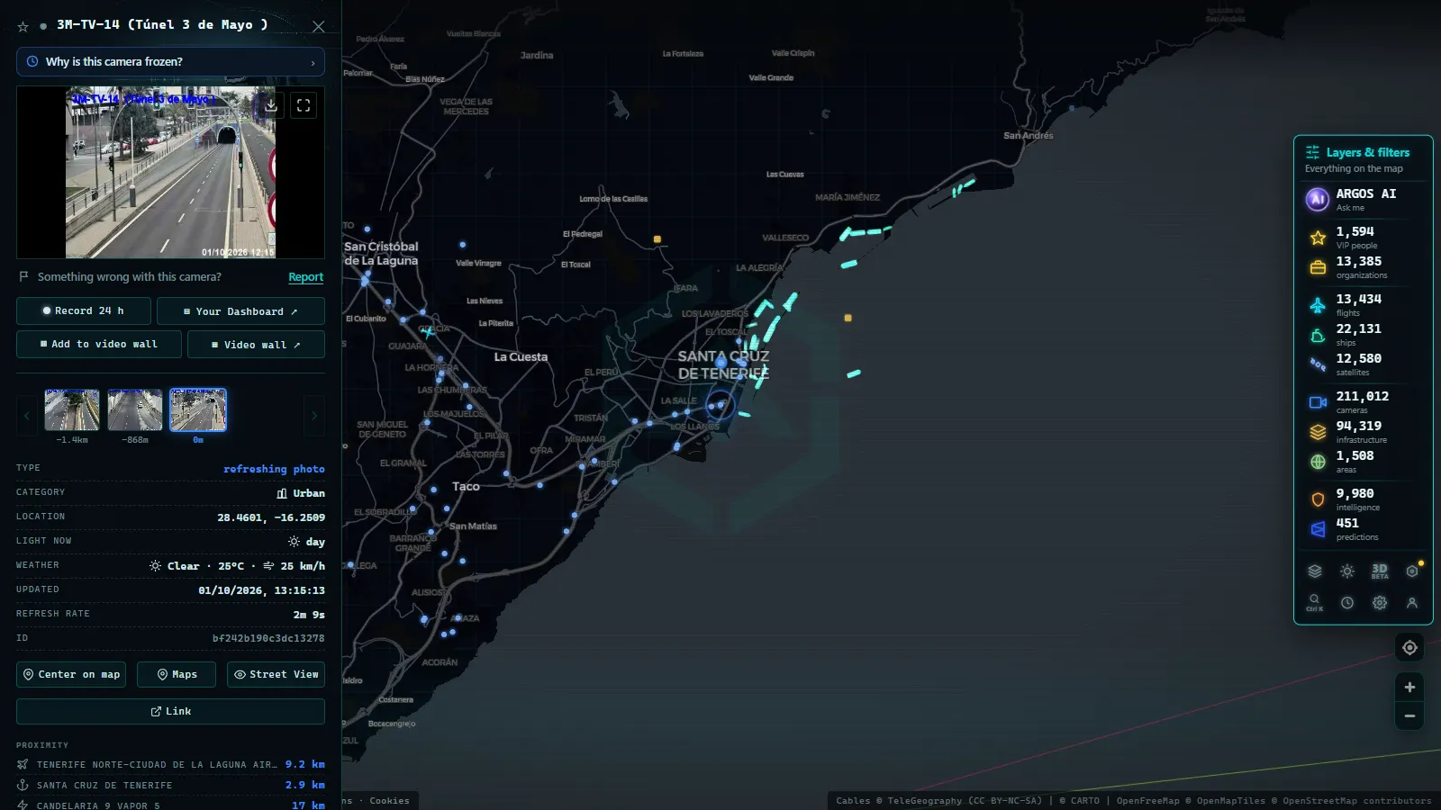
Teide webcam and the summits: the sky as the attraction
The summit cameras are the most interesting in the archipelago and the least used. The area around Teide is considered one of the best skies in Europe (altitude, dry air, and a sea of clouds that caps the coastal light from beneath) and the high-altitude cameras show three things you will not see anywhere else:
- The sea of clouds from above. When the coast is grey and the summit is in sunshine, the image explains it better than any bulletin.
- Occasional snow. It snows on Teide more often than visitors expect, and when it does, the cameras are how you find out whether the park roads are open before driving up.
- Night sky conditions. Be realistic here: an ordinary webcam records neither stars nor meteors. What it does tell you is whether there is cloud or dust, which is precisely what you need to know. If you are planning an observing night, see our guide to the 2026 Perseids and how to watch them live.
A practical warning for anyone searching for a Teide webcam expecting a close-up of the crater: many high-altitude cameras face the horizon or the cloud layer, not the volcano. They are weather instruments, not virtual tourism of the cone.
Recorded straight off the map, no sound.
Canary Islands beach webcams: sea, wind and the real state of the coast
Beach cameras make up most of the network, and they are useful well beyond summer daydreaming:
- Surf and wind. In Fuerteventura and along the northern coasts of the larger islands, the camera tells you whether the sea is working better than a swell forecast does, because you are looking at the outcome rather than the prediction.
- Crowds and parking. In August, seeing a beach already packed at eleven in the morning saves you the trip.
- Flags and sea state. It does not replace official lifeguard information, but heavy shorebreak is recognisable at a glance.
- The other coast. The classic Canarian trick: if it is overcast where you are, check a camera on the far side of the island before writing off the day.
These cameras behave much like the rest of Spain's coastal network; if you want the wider picture, our guide to Spain's beach webcams explains how to read them and what to expect.
Checking for calima before you fly (or before you drive up)
For anyone living in or travelling regularly to the islands, this is the single most valuable use of the whole network. Calima (Saharan dust arriving in episodes that last days) affects flights, visibility, outdoor sport and astronomy, and it has one property that makes it perfect for cameras: you can see it.
How to read it in an image:
- The sea horizon stops being a line and blends into the sky in an ochre or milky tone.
- The summits vanish when seen from the coast, even with no cloud around.
- Colours flatten: the blue of the sea turns greenish grey and shadows lose contrast.
- Sunlight takes on an orange cast even at midday.
The quick method: open two or three cameras on different islands and compare. If all of them are veiled, the episode is widespread and worth taking seriously; if only one flank is affected, it is probably local cloud. It is the same reasoning you would apply to any weather phenomenon, and it works better the more cameras you cross-check.
Ports, roads and the less photogenic half of the network
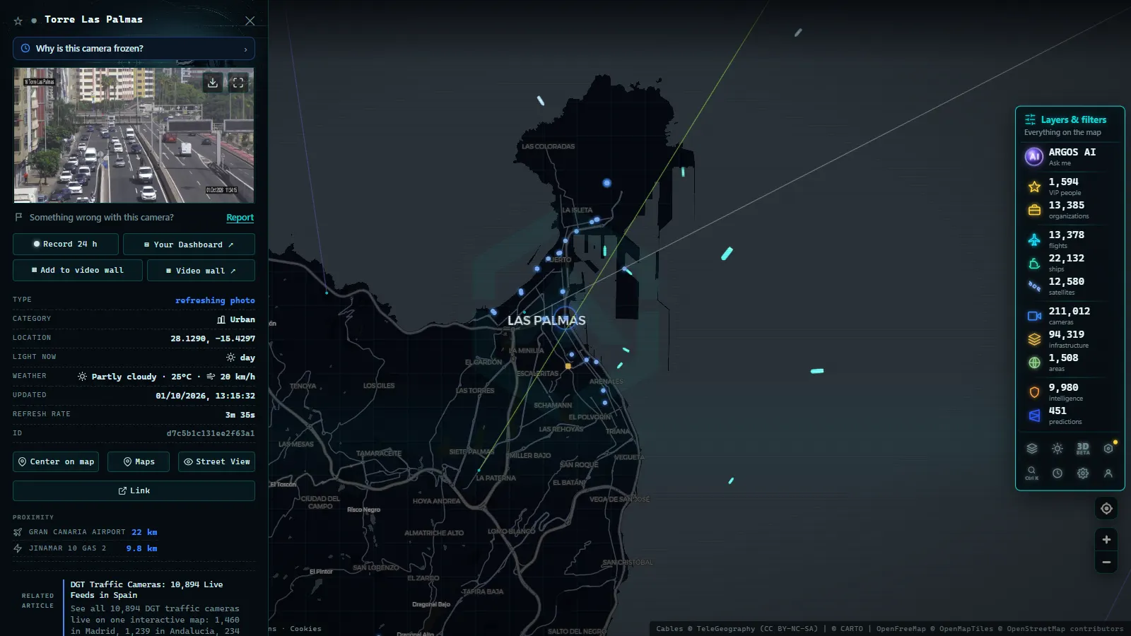
Behind the beaches sits a less glamorous and very useful layer. The Canary ports (Las Palmas and Santa Cruz de Tenerife among the largest in Macaronesia) appear on the map with their cameras and, more importantly, with live maritime traffic: inter-island ferries, cargo ships and cruise vessels broadcast their position by AIS and can be watched moving in real time. If your day depends on a ferry between islands, that layer beats any camera.
There are also road cameras at access points and known trouble spots, particularly on mountain routes where fog is a recurring problem. On the ARGOS ATLAS map all of this sits alongside the flight layer: in an archipelago where the plane works as a bus, watching inter-island air traffic is unexpectedly addictive.
Who runs these cameras: the small print on hotel webcams
Time to be transparent, because it affects how much you should trust what you see. A large share of the Canaries' tourist cameras are installed by hotels and private businesses, not public bodies. That has real consequences:
- Self-interested framing. A hotel camera points at what the hotel wants to show: the sunlit pool, not the building site next door.
- Irregular availability. They appear and disappear without notice, change direction, or freeze for weeks.
- Looped footage. Some commercial cameras replay clips or publish one flattering still image. If the scene has not changed between two visits hours apart, be suspicious.
The map prioritises public sources (councils, port authorities, road operators) and always states where each camera comes from, so you know whether you are looking at an institutional feed or a business's shop window. If you want to tell them apart yourself, we have a dedicated guide on how to tell whether a webcam is official.
Practical rule: always check the timestamp. An image with no time, or with a time that does not match the light in the frame, is not information.
How to use the Canary Islands live cameras on the map
Four routines that get real value out of those 642 cameras:
- The north-south comparison. Open one camera on each side of the island before deciding your plan. On Tenerife and Gran Canaria the difference can run from full sun to drizzle.
- The altitude check. Before heading for the summits, look at one coastal camera and one high-altitude camera. The jump in temperature and cloud is the visitor's most common surprise.
- The sea cross-check. Combine a coastal camera with the ship layer if your plan depends on a ferry or a boat trip.
- Event planning. For fixed dates (a stargazing night, a windy weekend, or the August 2026 solar eclipse in Spain) cameras are how you check the real sky at the exact hour, not six hours in advance.
The Canaries have the most-checked weather in Spain and now the densest camera network to check it with. Open the map, centre it on the archipelago and hop from island to island: within a couple of minutes you will know where the sun is out, whether there is dust in the air, and what the summits look like today. Free, no account, and with the sources on show.
Frequently asked questions
How many webcams are there in the Canary Islands?
The ARGOS ATLAS map holds 642 public cameras across the Canary archipelago (count as of August 2026), 362 of them in Tenerife. That is the densest public camera coverage per resident anywhere in Spain, far beyond what the size of the islands would suggest.
Is there a live Teide webcam?
There are public cameras in Tenerife's high country pointed towards Teide and the national park area. What you get depends on the hour and the weather: on a clean day, the volcano's silhouette above the sea of clouds; during a Saharan dust episode, little more than an ochre veil.
Can webcams show whether there is calima (Saharan dust)?
Yes, and it is one of their best uses. Dust shows up in an image before it shows up in a bulletin: the horizon dissolves, colours flatten and the summits vanish. Comparing two or three cameras on different islands tells you quickly whether the episode covers the whole archipelago or just one side of it.
Are they free to watch, and is registration needed?
They are free and no account is required. Every camera on the map is an aggregated, geolocated public source, viewable alongside the live flight, ship and infrastructure layers at no cost.
Who operates these cameras?
A mix: town and island councils, port authorities, road operators, and a great many hotels and tourism businesses. The map prioritises public sources and always shows where each camera comes from, because an institutional feed and a hotel's shop window are not the same thing.
- Solar eclipse 2026 live stream: how to watch it safely
- Airport Webcams Live: Plane Spotting From Your Screen
- Nepal Live Map: What You Can Actually Track in Real Time
- Antarctica live map: what you can really watch right now
- Guatemala live map: what you can see right now, layer by layer
- ARGOS ATLAS vs WorldCam: 3 Free Cameras a Day vs 45 Seconds