Blog · Critical infrastructure
The World's Largest Ports and How to Watch Their Activity Live
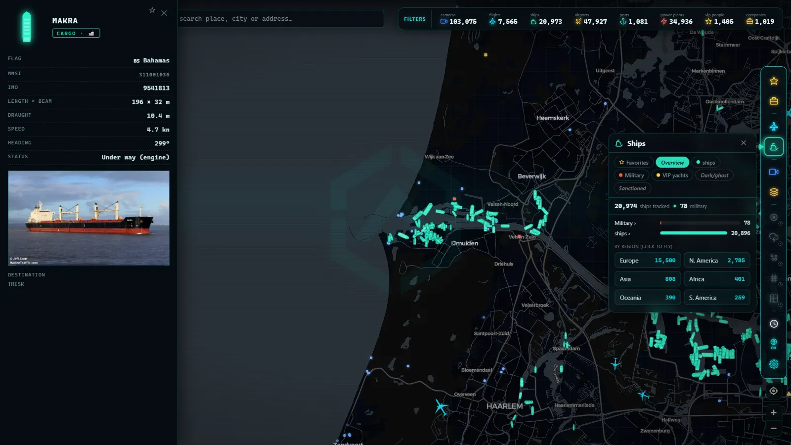
When you picture global trade, you probably imagine cargo planes or trucks on motorways. The reality is wetter: the overwhelming majority of goods crossing the planet do so by sea, and the world's largest ports are the nodes where that tide of containers touches land. These are colossal installations (industrial cities in their own right) operating around the clock, yet almost nobody has ever seen them from the inside. The good news: today you can watch their activity live from home, ship by ship. First, let us understand how port size is measured and who tops the rankings.
How a port's size is measured
"The world's largest port" is an ambiguous phrase until you decide what you are measuring. There are three common yardsticks, and each tells a different story.
The first and most cited is the TEU. The acronym stands for Twenty-foot Equivalent Unit: a standard container of the classic size, roughly six metres long, the box you have seen thousands of times on trucks, trains, and ships. A forty-foot container (twice as long, very common today) counts as two TEUs. When a port claims to handle millions of TEUs per year, it is counting containers in that common unit, which allows apples-to-apples comparisons across the world.
The second metric is tonnage moved: the total weight of cargo, including bulk goods such as iron ore, coal, grain, and crude oil that do not travel in containers. An oil or mining port can move enormous tonnage with relatively few containers.
The third is cargo value, less used in rankings but revealing: a port that handles electronics and manufactured goods concentrates more value per tonne than a bulk-cargo port.
For popular rankings (and for this article) the TEU is the reference: it measures a port's connection to the consumer-goods trade that touches daily life most directly.
Asian dominance: Shanghai and the Pacific giants
Look at any recent container port ranking and the pattern is unmistakable: Asia dominates the rankings overwhelmingly, a direct reflection of where most of what the world consumes is manufactured.
The Port of Shanghai has led global container rankings for years. It is a vast complex combining historic river terminals with a giant deep-water terminal built offshore and connected to the mainland by one of the world's longest bridges. Its annual TEU volume surpasses that of entire continents combined.
Singapore typically occupies second place, but with its own distinct personality: it is the planet's pre-eminent transshipment hub. A large share of the containers passing through Singapore have neither that country as origin nor as destination, they arrive on one vessel and depart on another, exploiting Singapore's strategic position at the Strait of Malacca, through which an enormous proportion of trade between Asia and Europe must pass.
The remaining top positions are held, consistently, by several Chinese ports on the eastern seaboard and the Pearl River Delta, alongside other major Asian nodes. Exact figures change year to year, so what matters is the pattern: the map of the great ports is, to a large extent, the map of the world's factory.
Europe: Rotterdam, Antwerp, and beyond
Europe operates at a different scale, but it has its own giants. Rotterdam, in the Netherlands, is Europe's largest port: a complex stretching dozens of kilometres from the city to the North Sea, with highly automated container terminals, refineries, and bulk-cargo facilities. It is the primary maritime gateway to Europe's industrial heartland.
Close behind is Antwerp-Bruges in Belgium, the result of a merger between two historic ports, with enormous weight in both containers and chemical industry.
Beyond Europe, strategic transshipment hubs such as Jebel Ali (Dubai) and Port Said (Egypt) demonstrate that geography (sitting at a crossroads of major shipping lanes) can make a port globally significant regardless of local manufacturing. The same logic applies to Tanjung Pelepas in Malaysia and Colombo in Sri Lanka.
This port network is a textbook example of what governments classify as critical infrastructure: installations whose disruption would affect supermarket shelves and production chains across half a continent within days.
From the ARGOS ATLAS channel.
What makes a port great
A port's size is not coincidence or just a matter of berths. Four factors recur in every giant:
- Hinterland: the territory the port serves. Rotterdam is enormous because behind it lies the densest industrial basin in Europe, connected by rivers, rail, and road. A port with no demand behind it is an empty dock.
- Draft: the depth of the water. Modern container ships are colossal and require many metres of water beneath the keel. Ports that cannot receive the largest vessels are relegated to secondary routes.
- Land connections: especially rail. Moving thousands of containers daily by truck alone would paralyse any city; great ports live off their rail corridors and inland waterways.
- Transshipment position: location on shipping routes. Singapore and Jebel Ali demonstrate that you can be a great port serving mainly as an interchange between vessels, provided you sit at the right crossroads.
The same logic of nodes and connections governs other transport systems: major airports function as hubs for similar reasons, and they even share the habit of identifying themselves with universal codes, as explained in IATA and ICAO airport codes.
The port as a living organism
Seen up close, a great port resembles less a car park for ships and more an organism with its own metabolism. Specialist terminals (containers, bulk, vehicles, cruise) function like organs with their own machinery: gantry cranes that discharge a container ship in hours, conveyor belts that swallow iron ore, ramps through which thousands of cars roll off.
Out at sea, anchorages are the waiting rooms: designated areas where vessels drop anchor until a berth becomes available, sometimes for hours, sometimes for days. If you have ever wondered about those ships sitting motionless offshore, that is your answer, and we explain it in detail in what it means for a ship to be anchored.
Between anchorage and berth, tugboats and pilots work: the former push and pull vessels a hundred times their size during docking manoeuvres; the latter are local expert navigators who board incoming ships to guide them through the approach. All of this in a constant flow, day and night, seven days a week. A great port never closes.
How to watch a port live from home
Here is the part that turns curiosity into a hobby: all that activity is observable in real time, legally and for free.
The key is AIS, the Automatic Identification System that commercial vessels broadcast by radio, transmitting position, heading, and speed. Under the SOLAS convention of the International Maritime Organization, AIS is mandatory for vessels above a certain size on international voyages and for all passenger ships. Those signals are received openly and published on maps: the result is that you can see arrivals and departures, ships waiting in anchorage, tugboat manoeuvres, and the procession of container ships on approach routes.
Watching a major port's anchorage for a while is a small live economics lesson: if ships are piling up waiting, something is happening with capacity or demand. Comparing the activity of Shanghai, Rotterdam, or Jebel Ali at the same moment is seeing the pulse of global trade without leaving the living room.
In addition to AIS, some port authorities publish public cameras of their facilities or access roads. When they exist and are official, they are a direct window onto the dock: you see the real vessel, not just its symbol on the map.
Ports in Argos Atlas
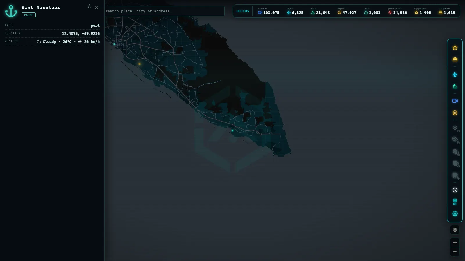
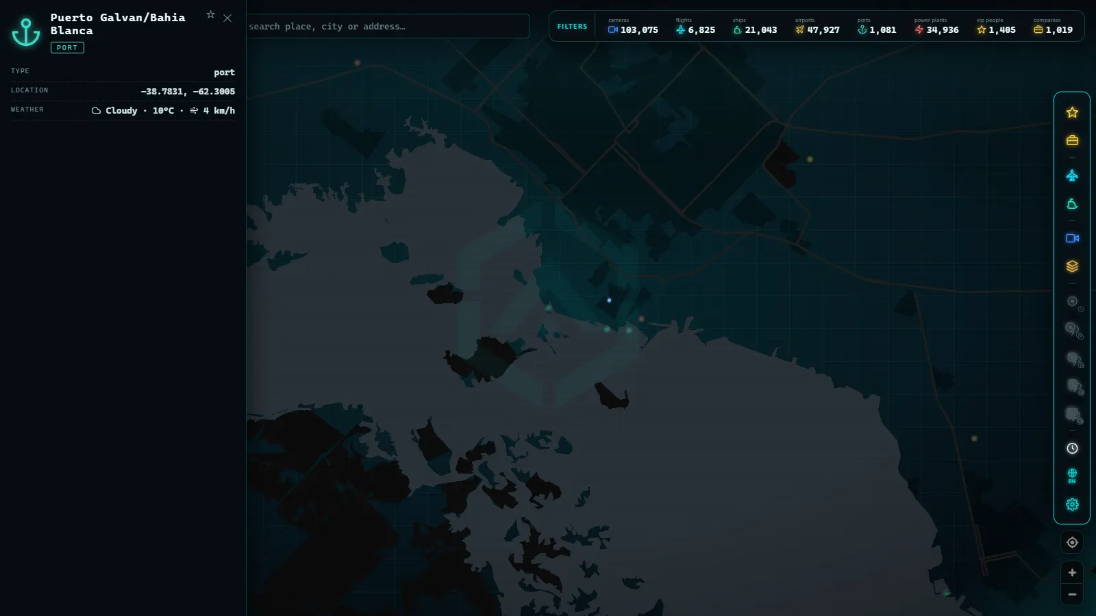
In Argos Atlas ports are a dedicated layer of the world map: you can explore the planet's ports on the ground, consult world lists ranked by size, and watch live ships (with their open-source AIS positions, by category and speed) moving around each one. The combination of a fixed layer (the port) and a live layer (the vessels) is exactly what is needed to understand these places: infrastructure and metabolism together on the same screen. No registration required, free to use.
Frequently asked questions
Which is the world's largest port?
By container traffic, the Port of Shanghai has led global rankings for years, with an annual TEU volume that has no rival. Singapore typically holds second place thanks to its role as the planet's pre-eminent transshipment hub at the Strait of Malacca, and several Chinese ports consistently fill out the top positions. If tonnage rather than containers is the measure, the order shifts somewhat, but Asian dominance holds.
What is a TEU?
TEU stands for Twenty-foot Equivalent Unit: it equals one standard container of the classic size, roughly six metres long. A forty-foot container counts as two TEUs. The value of the unit is that it allows ports worldwide to be compared by the same rule, regardless of the mix of container sizes they handle. When you read that a port moves so many millions of TEUs per year, you now know what is being counted.
Which is the largest port in Europe?
Rotterdam, in the Netherlands, is Europe's largest port by both container volume and total tonnage: a complex stretching from the city to the North Sea with highly automated terminals. Antwerp-Bruges in Belgium is a close second. Beyond Europe, strategic hubs like Jebel Ali (Dubai) show that geography on a global shipping crossroads can generate port scale that rivals any European facility.
Can you watch a port's activity in real time?
Yes, and in two ways. The main one is the AIS map: commercial vessels broadcast their position by radio and those signals are published openly, so you can follow arrivals, departures, anchored ships, and manoeuvres in near real time. The second is the public cameras that some port authorities publish of their facilities. In Argos Atlas you have the ports layer with live ships around each one, on a single map.
What Counts as the World's Largest Port, Region by Region
There isn't a single, universal answer to "what is the biggest port in the world." The title changes depending on what is measured: container throughput (counted in TEU, the standard 20-foot container unit), total cargo tonnage (which includes bulk commodities like oil, grain, and ore), or sheer physical area, including anchorages, channels, and inland terminals. A port that tops one list can sit outside the top ten on another, which is why rankings for "largest port in the world" sometimes disagree with each other without either being wrong.
Beyond that definitional gap, most searches for "world ports" or "main ports in the world" expect a global picture, not just the Asia and Europe story covered above. A few more regions complete it:
| Region | Leading port | Why it ranks among the world's main ports |
|---|---|---|
| Middle East | Jebel Ali, Dubai | The busiest port outside East Asia for container handling, and the main hub linking Gulf trade with Asian and European shipping lanes |
| North America | Los Angeles / Long Beach | The combined complex handles most of the United States' trans-Pacific container trade, making it the country's primary maritime gateway |
| Africa | Tanger Med, Morocco | The continent's fastest-growing transshipment hub, built on its position facing both the Mediterranean and the Atlantic |
| South America | Several competing hubs | See the full ranking linked below for the ports that anchor the continent's trade |
Harbor and port get used interchangeably in these searches, but they aren't quite the same thing. A harbor is the sheltered body of water, natural or dredged, where ships can anchor safely; a port is the full commercial facility built around that harbor, with berths, cranes, warehouses, and customs control. The "largest harbor in the world" by sheer water area doesn't always match the "largest port in the world" by cargo moved, since some of the biggest natural harbors handle comparatively little commercial traffic.
For the ports that anchor South America's trade, the full ranking of South America's ports covers them region by region. For the full detail on Europe's own ranking beyond the overview above, the complete list of Europe's main ports breaks down Rotterdam, Antwerp, and the rest by the same measures.
Conclusion
The world's largest ports are the silent machinery of global commerce: Shanghai and the Asian giants out front, Rotterdam leading Europe, and strategic transshipment hubs like Singapore and Jebel Ali connecting the world's shipping lanes. Behind every ranking lies a logic of geography, draft, connections, and transshipment that explains why containers go where they go.
And the best part is that none of this is abstract: you can open the Argos Atlas map right now, locate any of these ports, watch the vessels entering and leaving at this moment, and see with your own eyes how world trade beats. Five minutes watching an anchorage teaches more than many statistics.
Frequently asked questions
Which is the world's largest port?
By container traffic, the Port of Shanghai has led global rankings for many years. Singapore typically occupies second place as the planet's premier transshipment hub, and several other Chinese ports round out the top positions in TEU rankings.
What is a TEU?
TEU stands for Twenty-foot Equivalent Unit, it equals one standard twenty-foot container, the classic six-metre box you have seen on trucks and trains worldwide. A forty-foot container counts as two TEUs. When a port reports moving millions of TEUs per year, it is counting containers in that common unit.
Which is the largest port in Europe?
Rotterdam, in the Netherlands, is Europe's largest port by both container volume and total tonnage. Antwerp-Bruges in Belgium is a close second. Among major transshipment hubs outside Europe, ports such as Jebel Ali (Dubai) and Port Said (Egypt) connect global shipping lanes at strategic chokepoints.
Can you watch a port's activity in real time?
Yes. Commercial vessels broadcast their position via the AIS system, and those signals are published on open maps: you can see arrivals, departures, ships anchored in waiting areas, and tugboat manoeuvres. Some port authorities also publish public cameras of their facilities.
- Busiest Airports in Mexico: Track Live Flights Now
- Europe's Major Seaports: Rotterdam, Antwerp, Hamburg, Valencia, Algeciras and Piraeus
- Europe's Busiest Airports: Heathrow, Charles de Gaulle, Schiphol, Frankfurt, Istanbul and Madrid-Barajas
- Canada's Major Seaports: Vancouver, Prince Rupert, Montreal and Halifax
- Biggest Airports in the US: Ranked List (Live Map)
- The Biggest Airports in the World: 2025 Passenger Ranking