Blog · Critical infrastructure
Canada's Major Seaports: Vancouver, Prince Rupert, Montreal and Halifax
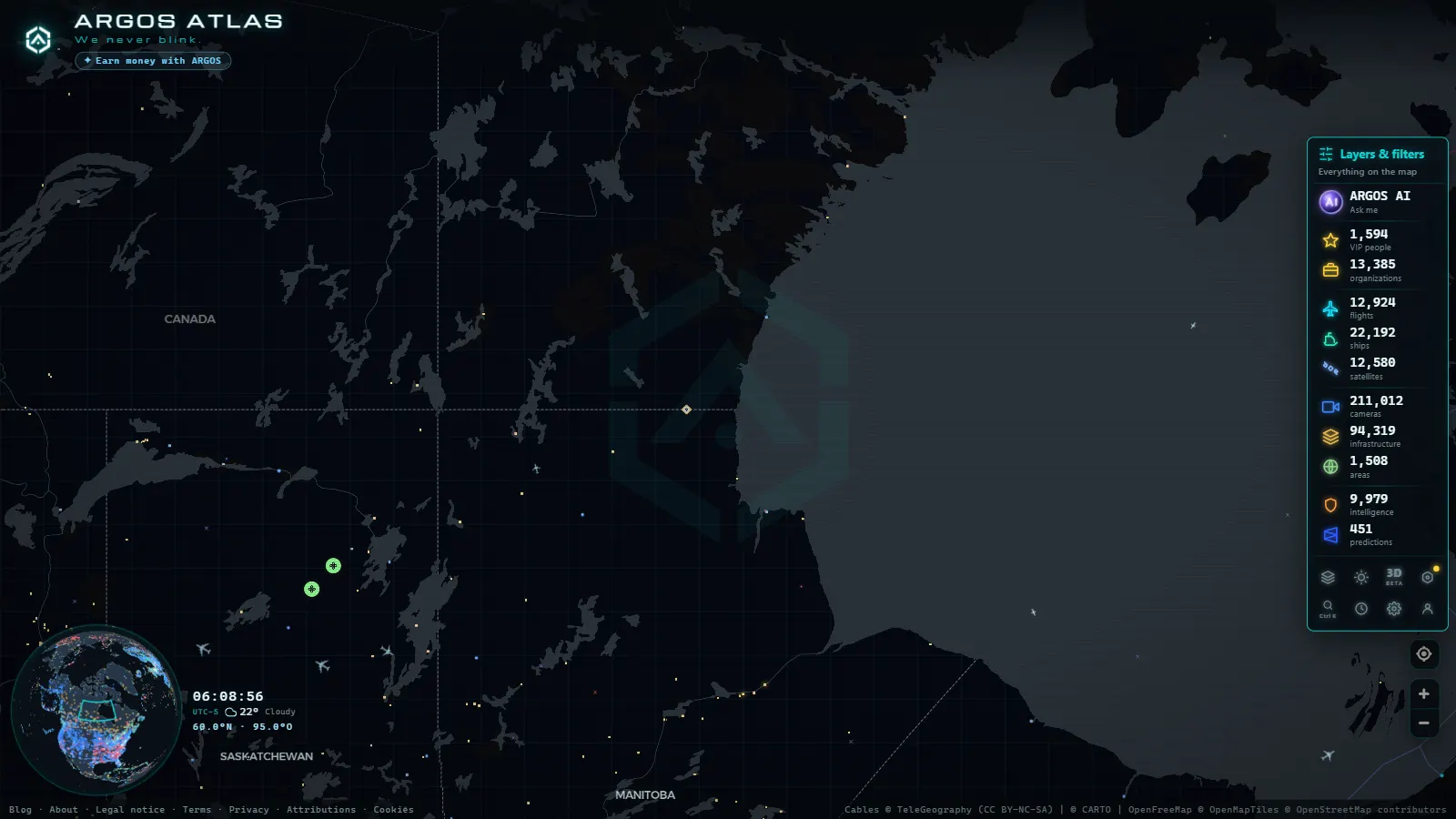
Canada's maritime vocation: four ports that move the world
Canada has 202,080 kilometres of coastline, the longest of any country on Earth. That is not a trivial statistic: it is the physical foundation on which one of the most strategically important port systems in the northern hemisphere has been built. Four ports concentrate the bulk of Canada's international maritime trade: Vancouver on the Pacific, Prince Rupert a few hundred kilometres north of it, Montreal deep inland on the St. Lawrence River, and Halifax standing watch over the Atlantic. Together they form the nodes of a logistical chain that connects Asia to Europe through the industrial heartland of North America.
Understanding how each one works (what cargo it handles, what routes it serves, why it was built where it was) is a way of understanding how a significant share of global commerce actually moves.
---
Port of Vancouver: the Pacific gateway
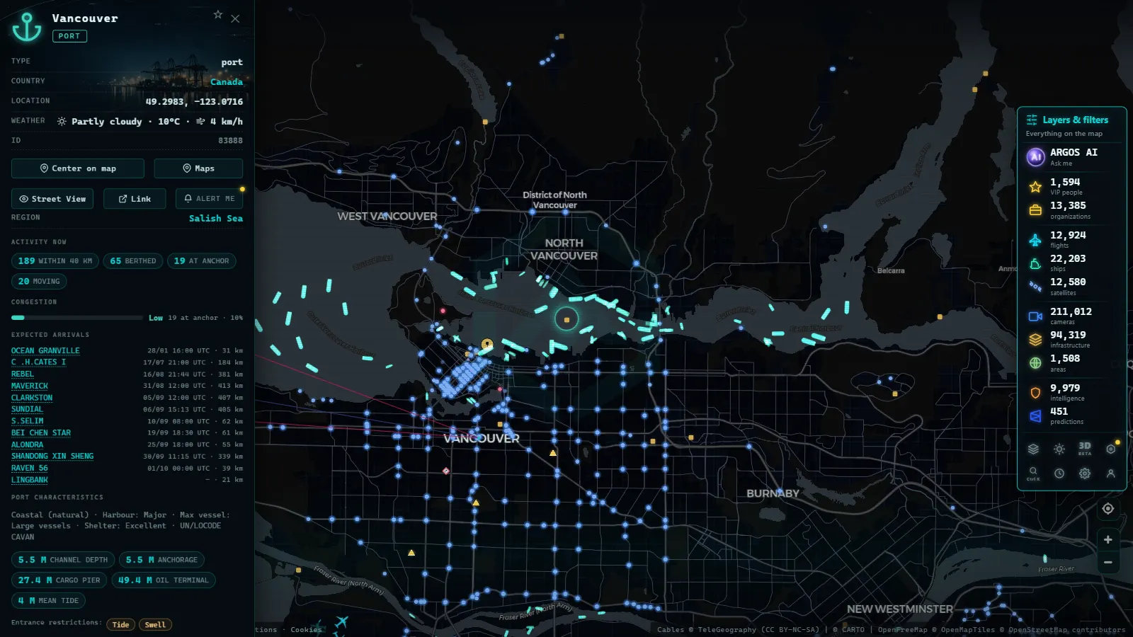
The Port of Vancouver is the largest in Canada and the third largest in North America by tonnage. It sits on the southwestern coast of British Columbia, where the Fraser River delta meets the Strait of Georgia. Its position places it at competitive sailing distances from the major ports of Northeast Asia: Shanghai, Busan, Tokyo, Hong Kong.
In 2023 the port handled more than 142 million metric tonnes of cargo. The Deltaport container terminal, on the Fraser delta, is the largest in the country. But Vancouver is far more than containers: it exports potash and grain from the prairie interior, thermal and metallurgical coal, fertilizers, automobiles, and forest products. It is, in the most literal sense, the outlet valve for Canadian raw materials flowing toward Asian markets.
The transpacific route and its implications
The Vancouver-Shanghai route is one of the busiest in the North Pacific. The latest generation of ultra-large container vessels (some with capacity exceeding 20,000 TEU) cover the crossing in roughly eleven days. For shipping lines this corridor is essential: it connects Asian manufacturing to the Canadian market and, via transcontinental rail, to the US Midwest and East Coast.
The rail network that radiates out from Vancouver is an integral part of the port system. Canadian National (CN) and Canadian Pacific Kansas City (CPKC) operate lines reaching Chicago, Detroit and beyond. A container unloaded at Deltaport can be in Toronto in under four days.
"The Port of Vancouver does not end at the dock. It ends at every logistics warehouse connected to North America's rail network."
---
Prince Rupert: betting on speed
Some 780 kilometres north of Vancouver, on the northern coast of British Columbia, lies Prince Rupert. The city has a population of around 12,000, but its port has a global footprint wildly disproportionate to its size.
The reason is geometric: Prince Rupert is closer to Northeast Asia than any other port in North America. The sailing distance to Shanghai is roughly 500 nautical miles less than from Seattle or Los Angeles. In terms of time at sea that translates to approximately 30 fewer hours per voyage. In an industry where every day of transit carries a financial cost, the difference is substantial.
The Ridley Island Port Container Terminal (RIPCT) opened in 2007 and has since tripled its capacity. The port also operates a dedicated bulk terminal handling coal, potash, and grain. Direct CN rail access makes Prince Rupert a genuine alternative to Vancouver for specific cargo flows, particularly those originating or destined for central and northern North America.
Infrastructure in expansion
The Canadian government and the port authority have invested consistently in expanding Prince Rupert's capacity. Projects underway or planned include new liquefied natural gas (LNG) export terminals and further container terminal expansion. The logic is straightforward: transpacific traffic will continue growing, and diversifying cargo entry points between Vancouver and Prince Rupert reduces the system's vulnerability to disruption.
---
From the ARGOS ATLAS channel.
Port of Montreal: the continent's interior opens to the sea
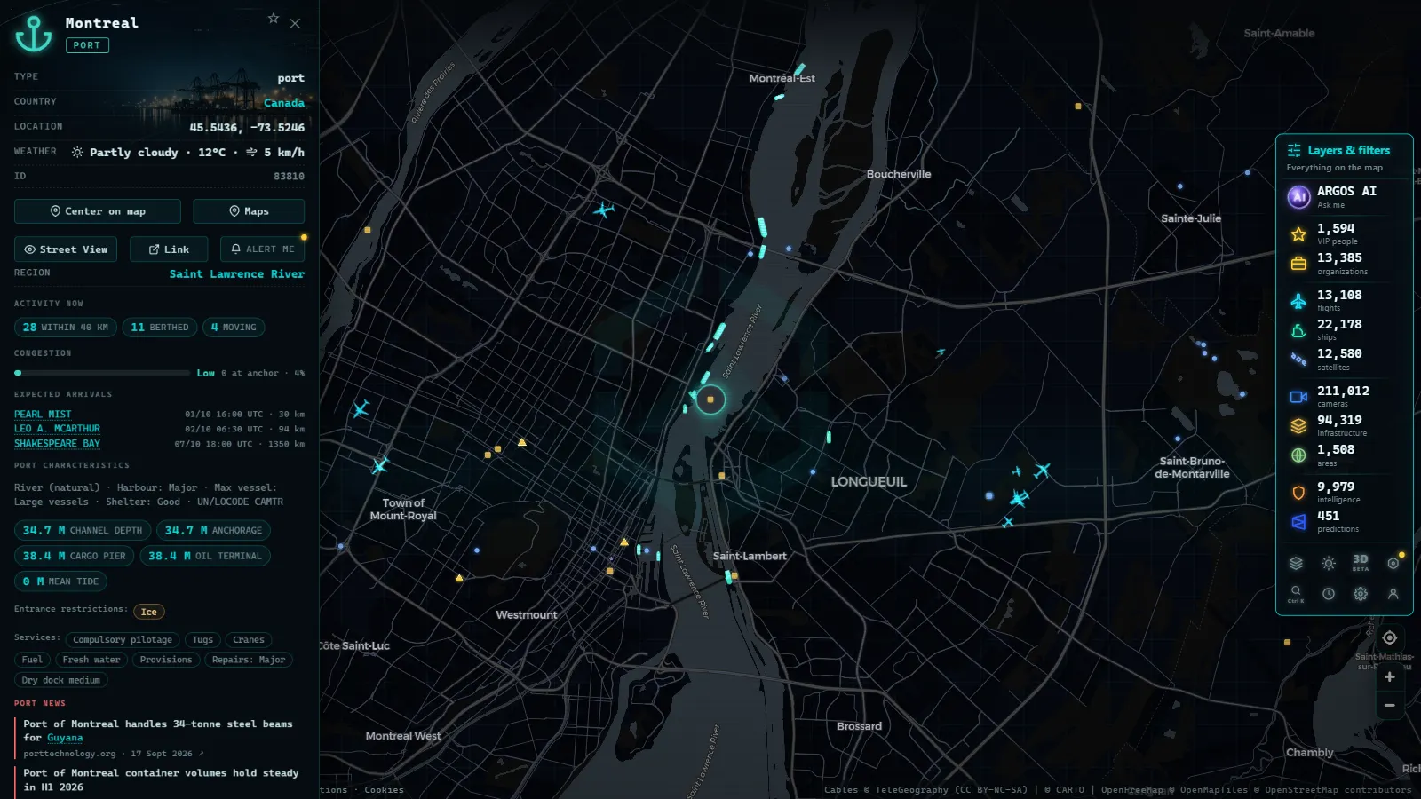
Montreal lies 1,600 kilometres from the Atlantic Ocean, yet it is a deep-water port accessible to ocean-going cargo ships. The St. Lawrence Seaway, continuously dredged and maintained by the Canadian Coast Guard, allows vessels up to 230 metres in length to navigate inland from the Gulf to the port.
This makes Montreal unique: it is the most inland port in the world with direct oceanic access. Goods arriving from the Atlantic can be discharged here and distributed directly into the industrial core of the Northeast (Quebec, Ontario, the US Midwest) without transshipment.
The logistical heart of eastern Canada
Montreal handles a mix of general cargo, containers, grain and refined petroleum. It is Canada's second-largest container port by volume. Its logistics hinterland includes some of the most industrially dense regions in North America: the Quebec-Ontario corridor accounts for more than 60 percent of Canadian GDP.
Seasonality is the major challenge. The St. Lawrence can become congested with ice between December and March, restricting traffic. To compensate, many shipping lines divert vessels to Halifax during the coldest months and move cargo to Montreal by rail or truck.
---
Port of Halifax: the Atlantic gateway
Halifax is the most important deep-water port on the Canadian Atlantic coast and the second largest on the entire East Coast of North America after New York. Its natural harbour, with depths reaching 18 metres, can accommodate the largest container ships currently in service.
Halifax's competitive advantage is distance. It sits between 1,000 and 1,200 kilometres closer to Europe than the major US East Coast ports. For cargo originating or destined for Europe, this means two to three fewer days at sea. Shipping lines operating the Europe-North America route use Halifax as a first or last port of call, reducing total supply chain time.
The Atlantic distribution hub
Halifax is not merely a transit port. It also functions as a distribution hub for Atlantic Canada: Nova Scotia, New Brunswick, Prince Edward Island and Newfoundland are fishing, forestry and energy economies that depend on efficient maritime connections.
The South End Container Terminal, operated by Hutchison Ports, processes the majority of container throughput. CN rail access and the Trans-Canada Highway corridor connect Halifax to the rest of the country. The port also operates a significant cruise terminal and serves as home base for the Royal Canadian Navy's Atlantic fleet.
---
ARGOS ATLAS: watching the traffic in real time
All of these ports can be observed today using open-source tools. The AIS system (Automatic Identification System) transmits the position, speed and heading of nearly every commercial vessel in operation in real time. With ARGOS ATLAS you can see on the map the vessels approaching or departing Vancouver, the bulk carriers anchored off Prince Rupert waiting for a berth, the container ships navigating the St. Lawrence toward Montreal, and the vessels entering Halifax from the North Atlantic.
The AIS visualization available on ARGOS ATLAS makes it possible to understand how trade moves in real time: which routes are active, which ports are congested, how maritime flows respond to events such as port strikes, weather disruptions or global supply chain shocks.
For additional context on ocean routes and the role of maritime transport in the global economy, explore the article on global maritime routes.
---
The sum of the parts: four ports, one chain
Vancouver, Prince Rupert, Montreal and Halifax do not compete with each other in a straightforward way. Each occupies a geographic and functional niche that makes it complementary to the others. Vancouver dominates transpacific volume. Prince Rupert competes on speed. Montreal serves the industrial interior of the continent. Halifax connects to Europe at the shortest possible distance.
This distributed architecture makes the Canadian port system more resilient to disruption: when one port experiences a strike or a blockage (something that has happened multiple times in recent history) the others can absorb a portion of the traffic. Resilience by design.
Global trade depends on physical nodes. Submarine cables, pipelines, highways, railway lines, ports: these are the points where the abstract economy meets the material world. Understanding where they are, what they move and how they connect is a way of seeing the world as it actually works, rather than as we imagine it does.
Frequently asked questions
Which is the largest port in Canada?
The Port of Vancouver is Canada's largest by cargo volume. In 2023 it handled over 142 million metric tonnes, serving as the primary gateway for trade between Canada and Asia-Pacific.
Why is Prince Rupert strategically important for Asia trade?
Prince Rupert is approximately 30 sailing hours closer to Shanghai than Los Angeles, making it the fastest North American port for connecting with Asian markets.
How do Canada's Atlantic and Pacific ports differ?
Pacific ports (Vancouver and Prince Rupert) specialize in Asia trade. Halifax and Montreal are the Atlantic gateways serving Europe and the eastern North American market.
- Spain Airport Codes: IATA & ICAO + Live View
- Biggest Airports in the US: Ranked List (Live Map)
- The Biggest Airports in the World: 2025 Passenger Ranking
- Iran on a Live Map: Airports, Flights and Hormuz Ships
- Biggest Airports in the Middle East: 6 Hubs, Live Data
- Italy Airports Live Map: 4 Fields and What They Hide