Blog · Live flights
Why Some Aircraft Don't Appear on Online Flight Trackers

The scene is a classic: you watch an aircraft cross overhead, open your favourite flight-tracking site to identify it, and nothing is there. A glitch? Something suspicious? Almost never. Aircraft that don't appear on online flight maps have specific, largely mundane explanations: coverage gaps, equipment that doesn't transmit, privacy filters, military operations, or a simple setting on your viewer. This guide works through the five reasons one by one, then closes with the most important point of all, what those blank spots on the map do and do not mean.
To follow the thread it helps to recall the key concept: online flight trackers are not radars. They are networks that listen for signals the aircraft themselves broadcast. If that idea is new to you, our guide on what ADS-B is and how flight tracking works will bring you up to speed in five minutes.
Reason 1: Nobody Is Listening (Coverage)
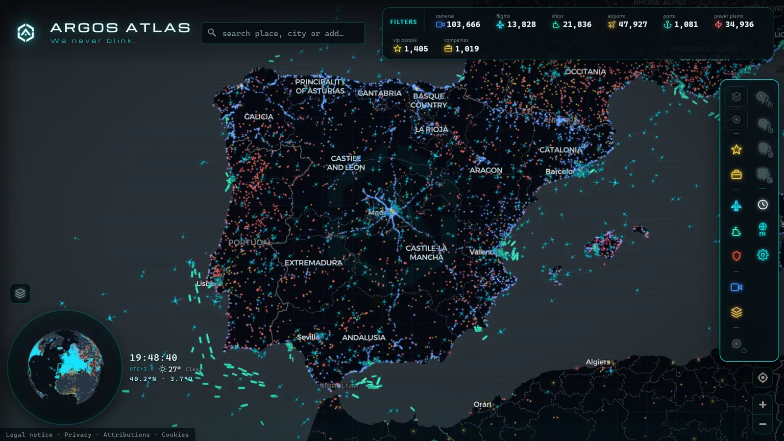
The most common cause is also the simplest: without receivers below, there is no data. An ADS-B signal travels in a straight line from the aircraft, and someone on the ground must be there to catch it. The collaborative networks that power public trackers depend on antennas installed at fixed points (many by aviation hobbyists) and their distribution follows population density. Coverage is dense across Western Europe and Japan, abundant across most of North America, and sparse over deserts, rainforests, and Arctic regions.
The three typical coverage-gap scenarios:
- Oceans: there are no rooftops to mount antennas on over open water. A transatlantic flight "disappears" as it leaves coastal range and "reappears" as it approaches the next landmass, having never stopped transmitting for a single second. A New York-to-London flight will typically go dark somewhere over the mid-Atlantic.
- Sparsely populated landmasses: large stretches of northern Canada, central Australia, or the Sahara produce the same effect over dry land.
- Low altitude between terrain: ADS-B signals travel line-of-sight, and mountains block them. A helicopter flying low through a valley in the Rockies, the Alps, or the Pyrenees may be completely invisible to the network even though it is broadcasting perfectly. The moment it gains altitude, it reappears.
Satellite-based receivers (antennas that listen for ADS-B from orbit) are steadily closing this gap, which is why more oceanic segments are now visible on major trackers than they were five years ago. But seamless global coverage is still a work in progress.
Reason 2: The Aircraft Is Not Transmitting (Equipment)
The second cause is equally straightforward: what doesn't transmit cannot be heard. Although regulations now mandate ADS-B Out for most commercial traffic in controlled airspace across the US, Europe, and other major aviation markets, entire categories of aircraft remain outside those requirements.
Light general aviation aircraft and helicopters operating in airspace where the equipment is not compulsory may fly without it, or with older Mode C transponders that respond to secondary radar interrogations but do not broadcast position independently. Ultralights and much of the sport aviation world go further still, many carry no transponder at all.
In the United States, ADS-B Out became mandatory above 10,000 feet and in certain controlled airspace in January 2020, but large portions of low-altitude uncontrolled airspace remain unaffected. The picture is similar across Europe, where EASA mandates cover commercial operations and certain controlled-airspace classes but leave a substantial proportion of light aircraft free of the requirement.
This is why a tracker covering a regional airport might show every commercial airliner in precise detail while ignoring the Cessna from the local aero club that passes every Sunday afternoon. It is not a flaw in the viewer: that Cessna simply does not exist from the listening network's perspective.
Reason 3: Privacy Filters and Data Suppression
This is the least well-known cause and arguably the most interesting. Some aircraft transmit normally and are captured by multiple receivers, yet they still do not appear on certain trackers, or appear with their registration masked. The explanation lies in the aggregation layer: between the radio signal and your screen there are platforms that apply filters.
Several programmes allow aircraft owners to limit how their data is distributed through commercial aggregators. The best-known example in the United States is the FAA's Privacy ICAO Address (PIA) programme, which allows operators to request that services drawing from official data sources either withhold their registration or display it in masked form. The typical motivation is commercial confidentiality: corporations that do not want their movements tracked, or private individuals who prefer not to be followed.
The critical nuance is that these programmes act on the aggregators, not on the radio signal itself, which remains open by design. This is why the same aircraft can be invisible on one tracker and perfectly visible on another that feeds from independent receivers. It is the technical backdrop to the much-publicised debate over tracking celebrity private jets: limiting public broadcast is possible; silencing the underlying transmission is not.
From the ARGOS ATLAS channel.
Reason 4: Military and Government Flights
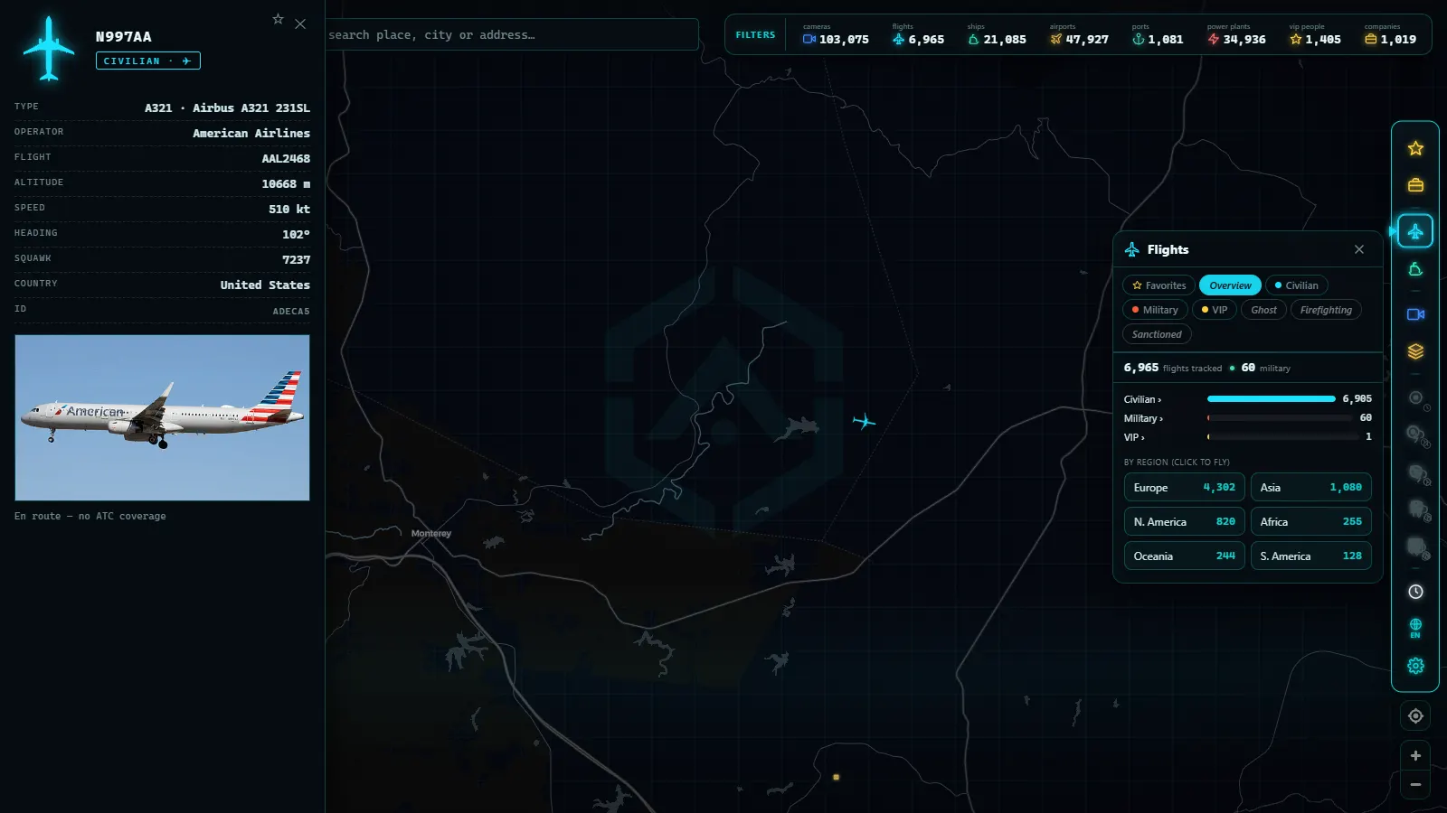
Military aircraft operate by different rules. During routine transits through civilian airspace many broadcast exactly like commercial airliners (and spotting them is one of the genuine attractions of flight tracking) but on operational missions they may switch off their transponder or operate in restricted modes: broadcasting an identification code without position, or maintaining complete radio silence. This is a basic operational capability; no military publicly broadcasts the position of its aircraft during a sensitive mission.
The same applies to certain state and government flights, which may operate under generic callsigns or with restricted data distribution. The result on the map varies widely: military aircraft perfectly visible during a training sortie, traces that appear and vanish, or complete absences. A US Air Force tanker may be clearly visible on one pass and gone the next. The topic deserves its own treatment (what you can and cannot see, and why) which we cover in detail in our guide to tracking military aircraft in real time.
Reason 5: Your Viewer's Settings
The final reason sits on your own screen. Before reaching for exotic explanations, check the basics:
- Active filters: most trackers allow filtering by altitude, aircraft type, or category. A forgotten filter can hide half the traffic in your area.
- Zoom level: to avoid saturating the map at continental scale, some viewers cluster or suppress traffic when zoomed out. Zoom into your specific location and see whether the aircraft emerges.
- Data delay: there are seconds between an aircraft's transmission and the refresh of your screen. A fast, low-flying aircraft may have already crossed overhead by the time the map draws it where you were standing.
The practical rule: if you saw an aircraft and it is not on the map, wait a few seconds, zoom in on your position, and check the filters. The majority of apparent disappearances resolve this way.
MLAT: Recovering Part of the Invisible
Between visible and invisible there is an intermediate zone that technology can exploit. When an aircraft transmits signals without including its position (older transponders, restricted modes) the network can still calculate where it is through multilateration (MLAT): if four or more synchronised receivers capture the same signal, the tiny differences in the time it arrives at each antenna allow the network to triangulate the point of emission.
This is pure geometry with precise clocks, and it works remarkably well where receiver density is high. Thanks to MLAT, trackers can plot the tracks of aircraft that never broadcast their own coordinates. The limits are predictable: it requires several receivers capturing the signal simultaneously, so it performs well in populated regions and degrades where the network is thin. And it is obviously powerless against complete silence, a switched-off transponder leaves nothing to triangulate.
What This Does NOT Mean
It is worth neutralising one mistaken conclusion that arises naturally: "if it is not on the map, nobody knows it is flying." That is false.
Air traffic control does see them. National air navigation service providers do not depend on collaborative hobbyist networks. They operate primary radars that detect the physical echo of the aircraft whether it cooperates or not, secondary radars that interrogate transponders, dedicated surveillance systems, and direct communication with every crew. A military aircraft with its transponder off is invisible to your flight tracker, not to air defence radar. A light aircraft without ADS-B does not appear on the public map, but the controller responsible for its airspace has it accounted for through other means.
Public flight trackers are a partial (and remarkable) reflection of air traffic, built on open signals and volunteer antennas. They are a window onto the sky, not the system that manages it. Confusing the two leads to unnecessary alarm and to theories that simply do not hold up.
How to Read Gaps Sensibly
With the five reasons on the table, the rational approach to a blank spot on the map follows this order of probability: first the technical (filters, zoom, data lag), then coverage (are there receivers in that area at that altitude?), then equipment (what type of aircraft was it?), and only after all that, the special cases (privacy filters, military operations).
An aircraft that "disappears" over the North Atlantic is a coverage gap, not a mystery. A light plane absent from the map is an equipment issue, not a secret. A jet appearing without a registration is a privacy filter, not a ghost. A military track that fades out is documented operational routine, not a signal that something has gone wrong.
Flight tracking is a more rewarding hobby (and a sharper analytical tool) when you understand the seams of the system rather than treating the map as a perfect mirror of the sky.
We explore the full picture of how to get the most from real-time maps in the general guide to tracking aircraft in real time.
Conclusion
An aircraft not appearing on an online flight map is almost never newsworthy. It is coverage, equipment, a filter, military routine, or your own viewer settings, in that order of likelihood. Public flight maps are a collective achievement of remarkable scope, but they have seams, and knowing where those seams are is the difference between reading the sky with informed eyes and being unsettled by every gap.
Now that you know where to look and what to expect, put it to the test: open the map, enable the flights layer, and observe your area. Every aircraft you see has a story. Every absence, now, has an explanation too.
Frequently asked questions
Can an aircraft fly without anyone seeing it?
Without online trackers seeing it, yes. All it takes is not transmitting ADS-B or flying through an area without ground receivers. Without anyone at all seeing it, no. Air traffic control operates primary radars that detect the physical echo of the aircraft whether it cooperates or not, plus additional surveillance systems.
Why does a flight disappear in the middle of the ocean?
Because ADS-B signals need ground-based receivers to be picked up, and there are no antennas over open water. The aircraft keeps transmitting and flying normally; the collaborative network simply cannot capture the signal until it approaches the coast again. Satellite-based receivers reduce these gaps but do not eliminate them entirely.
Can celebrities hide their private jets?
They can limit public visibility, but not the actual radio transmission. Programs such as the FAA's Privacy ICAO Address program allow owners to request that commercial aggregators mask their registration or withhold it from public display. The radio signal itself remains open by design, so independent receivers can still capture and publish it.
Do air traffic controllers use the same websites?
No. Controllers work with certified professional systems: primary and secondary radars, dedicated ADS-B surveillance, and direct voice and data communications with each crew. Public flight trackers are built on collaborative hobbyist networks, excellent for enthusiasts and journalists, but not part of the operational chain that actually separates and guides aircraft.
What is MLAT and can it recover missing flights?
Multilateration (MLAT) uses the tiny time differences between a signal arriving at four or more synchronized receivers to calculate an aircraft's position even when it never broadcast its coordinates. It works well in areas with dense receiver networks, but is ineffective where coverage is thin and cannot help at all when a transponder is completely silent.
- Registration, Callsign, ICAO Hex: How to Identify Any Aircraft Flying Over You
- The World's Busiest Air Routes (and Why Planes Don't Fly in Straight Lines)
- Track Flights in Real Time Over Mexico: A Complete Airspace Guide
- Live Flights Over Argentina: Ezeiza, Aeroparque and the Patagonian Airports
- Live Flights over Australia and Oceania: Qantas, Virgin Australia and Trans-Pacific Routes
- Live Flights Over Japan: ANA, JAL and the World's Busiest Domestic Routes