Blog · Live flights
Live Flights Over Argentina: Ezeiza, Aeroparque and the Patagonian Airports
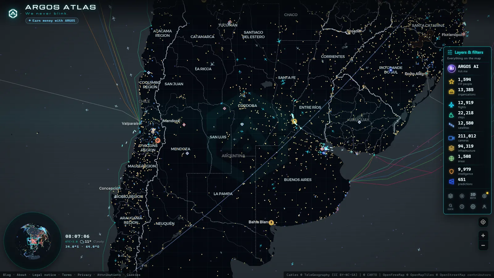
Argentina's sky from a live map
Argentina operates one of the most dynamic airspaces in South America. Every day, hundreds of domestic flights connect Buenos Aires with destinations ranging from subtropical river provinces to glaciated fjords at the southern tip of the continent. Monitoring that movement no longer requires access to professional systems: a live ADS-B tracking map lets you see exactly which aircraft is flying over Argentina right now, at what altitude, and where it is headed.
ARGOS ATLAS integrates that air-traffic layer alongside cameras, critical infrastructure, ship tracking and billionaire wealth data, all in a single interface. This article explains how flight tracking over Argentina works and what you can expect to see when you open the flights tab.
---
How ADS-B tracking works over Argentina
ADS-B (Automatic Dependent Surveillance-Broadcast) requires commercial aircraft to continuously broadcast their GPS position, speed, altitude and registration. Those signals are picked up by ground antennas distributed across the country and by airborne receivers on other commercial aircraft, the latter extends coverage over the South Atlantic where ground station density drops.
Argentina's adoption of ADS-B aligns with ICAO standards, meaning the fleets operated by Aerolineas Argentinas, LATAM Argentina, Flybondi and JetSmart are almost entirely compatible. The result is solid live coverage over the country's main air corridors.
"South American airspace is among the fastest-growing regions for ADS-B adoption, with coverage exceeding 90% on trunk routes."
What data appears on the map
When you activate the flights layer on ARGOS ATLAS, each aircraft appears as an icon oriented to its heading. Clicking it reveals:
- Flight number and operating airline
- Aircraft registration and type (Boeing 737, Airbus A320, etc.)
- Altitude in feet or metres depending on map settings
- Speed in knots and projected track
- Origin and destination with estimated arrival time
---
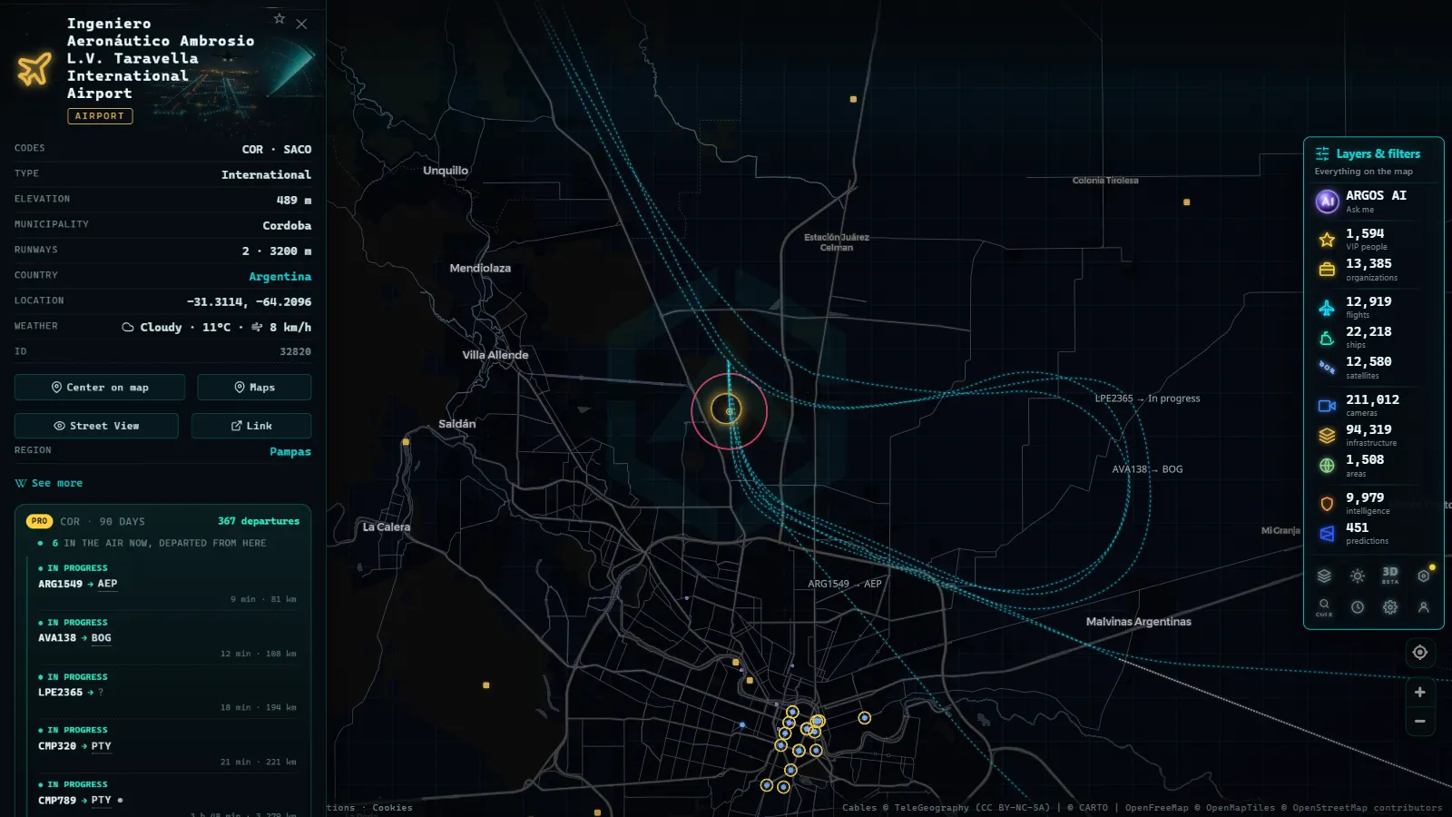
Ezeiza: Argentina's international hub
Ministro Pistarini International Airport, universally known as Ezeiza (ICAO: SAEZ), is Argentina's primary international gateway. Located about 35 km southwest of central Buenos Aires, it handles virtually all of the country's intercontinental traffic.
On the live flight map you can observe:
- Approach queues forming over the Rio de la Plata and the Montevideo area when wind forces the use of opposite runway directions
- Long-haul departures to Europe (Madrid, Rome, Frankfurt) and North America (Miami, New York) tracking out over the Atlantic
- Regional connections to Sao Paulo, Lima, Santiago and Bogota routing across the Andes or over the Pampas
The Argentine early morning is one of the most interesting times to watch Ezeiza: overnight flights from Europe arrive while the first domestic morning departures build up, creating a density peak between 05:00 and 08:00 local time.
---
From the ARGOS ATLAS channel.
Aeroparque: the heart of Buenos Aires domestic aviation
Jorge Newbery Airport, better known as Aeroparque (ICAO: SABE), is Buenos Aires' city airport and the country's busiest by number of operations. Its single runway runs along the Rio de la Plata shoreline, producing dramatic approaches over open water.
From the map you can watch flights to Cordoba, Rosario, Mendoza, Tucuman, Bariloche and other domestic destinations take off in close succession during peak hours. Aerolineas Argentinas operates the majority of its domestic network from Aeroparque, supplemented by low-cost carriers Flybondi and JetSmart.
The domestic network in context
Argentina has more than 50 airports with scheduled service. Aerolineas Argentinas' route network links cities that would have no rapid overland access, including:
- Ushuaia, the country's southernmost airport, a few kilometres from the end of the world
- El Calafate, gateway to Los Glaciares National Park and the Perito Moreno glacier
- Puerto Madryn, base for watching the South Atlantic coast's iconic wildlife
- Rio Gallegos, a critical stopover for flights to the Antarctic
Those long routes are visible on the map as trajectories crossing thousands of kilometres of sparsely populated Patagonia, a reminder of how much Argentina depends on aviation to integrate its own territory.
---
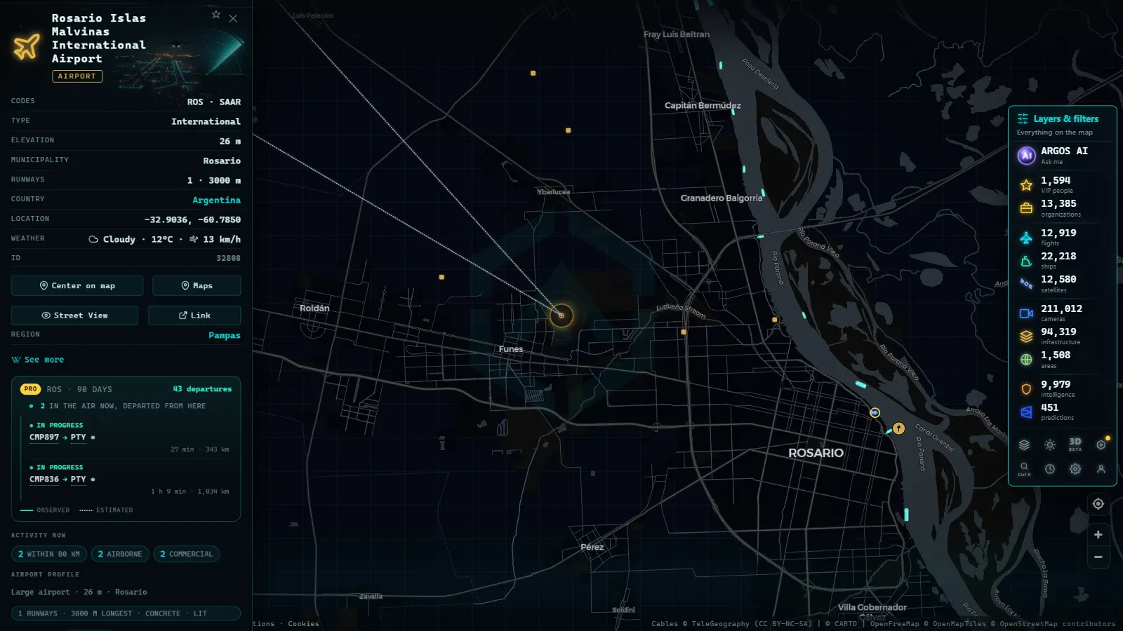
Patagonian airports: vital connections
Patagonia combines vast distances, limited road infrastructure and extreme weather. For millions of Argentines in the south, flying is not a luxury but the only practical option. On the ARGOS ATLAS flight map you can track traffic at airports such as:
Bariloche (BRC)
Teniente Luis Candelaria International Airport is the busiest in Patagonia during peak season. Approaches over Nahuel Huapi Lake make this one of the most photogenic landings in the country. In winter, ski traffic spikes the schedule; in summer, nature tourism sustains high frequencies.
El Calafate (FTE)
Comandante Armando Tola International Airport receives direct flights from Buenos Aires and other Argentine cities during the tourist season. Flight patterns over the Patagonian steppe are easy to distinguish on the map thanks to the low density of traffic in the surrounding region.
Ushuaia (USH)
Malvinas Argentinas Airport operates in a narrow valley flanked by mountains, making it one of the most challenging approaches in the Southern Hemisphere. Aircraft descend between peaks before touching down metres from the Beagle Channel, a sequence clearly visible as the flight icon winds through the terrain on the map.
---
Tracking Aerolineas Argentinas flights in real time
Aerolineas Argentinas operates a mixed fleet of Boeing 737-800s for domestic and regional routes and Airbus A330s for long-haul international services. On the map, its aircraft are identifiable by the flight code AR followed by the route number (for example AR1234 for Buenos Aires–Cordoba).
A practical use case for ARGOS ATLAS: open it while waiting at the airport and watch exactly where the inbound aircraft is, whether it has already begun its descent, and how many minutes remain before it starts the final approach. You know before any airport display board updates.
It is equally useful for understanding delays. If the flight you are expecting still appears crossing the Pampas at 35,000 feet when it should be on final approach, the delay is real and not just a display system lag at the terminal.
---
Use cases beyond curiosity
Live flight tracking has practical applications that go well beyond casual observation:
- Journalism and verification: confirm whether an official or private aircraft was actually in a particular location at a given time
- Cargo logistics: monitor freight flights between Buenos Aires and interior provinces
- General aviation: enthusiasts and pilots follow general aviation aircraft that also broadcast ADS-B
- Education: geography, meteorology and transport students can analyse real-time flow patterns across the Argentine airspace
For all these uses, ARGOS ATLAS offers the advantage of seeing flights in context alongside other geographic information layers, enabling cross-referencing that a standalone flight tracker cannot provide.
---
Related reading
If this article sparked your interest, explore more in our flights section:
- How ADS-B flight tracking works
- The world's busiest airports in real time
- Live flights across Latin America
The ARGOS ATLAS map is updated continuously with new data sources and improved coverage. Open it and start exploring the sky over Argentina right now.
Frequently asked questions
Can I see which planes are flying over Buenos Aires right now?
Yes. ARGOS ATLAS displays all active ADS-B transponders over Argentine airspace, including aircraft currently taking off and landing at Ezeiza and Aeroparque.
Why do some domestic flights in Argentina not appear on the map?
A small fraction of aircraft operate older transponders that do not broadcast ADS-B signals, or fly in areas with sparse antenna coverage. Coverage over Argentina's main air corridors is very high.
Which Patagonian airports can I track on ARGOS ATLAS?
You can follow traffic at Bariloche, El Calafate, Ushuaia, Comodoro Rivadavia, Neuquen, Santa Rosa and several seasonal destinations across the region, all visible on the live flight map.
- Live Flights over Australia and Oceania: Qantas, Virgin Australia and Trans-Pacific Routes
- Live Flights Over Japan: ANA, JAL and the World's Busiest Domestic Routes
- Live flights over India: tracking IndiGo, Air India and SpiceJet in real time
- Live Flights Over Canada: Air Canada, WestJet and the Routes of the Great North
- Flightradar24 Alternatives: Free Flight Trackers Compared
- Live Flight and Ship Tracker: Planes and Ships on One Map