Blog · Live flights
Military Aircraft in Real Time: What You Can See in Open Sources, and What You Cannot
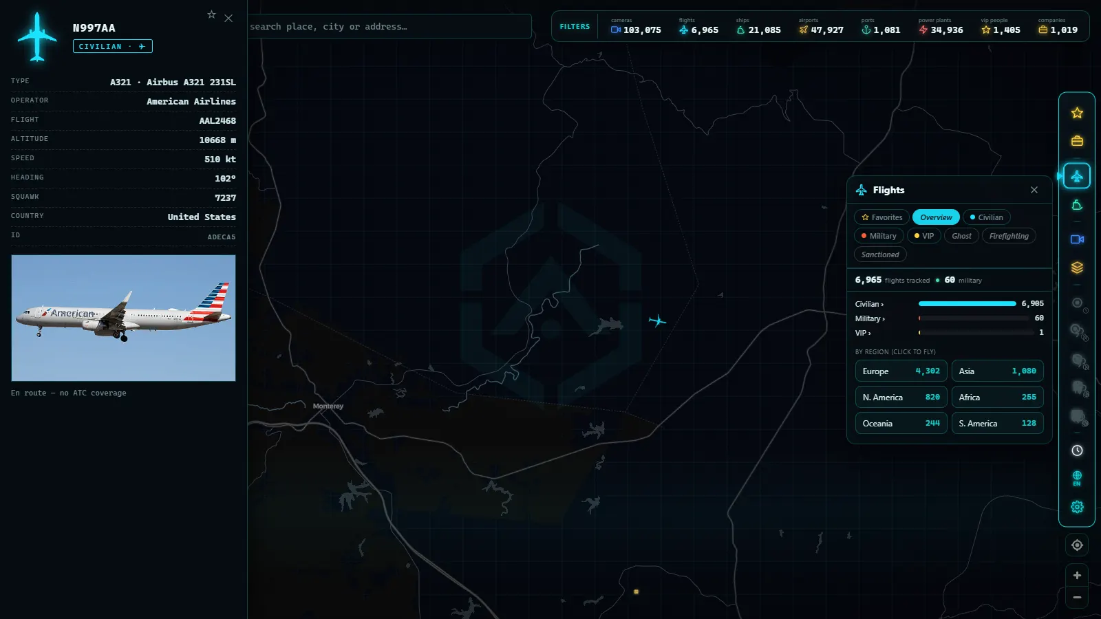
You open a live flight map expecting commercial airliners and instead a military transport slides across the North Atlantic, or a tanker traces slow circles over the ocean. The first reaction is surprise: can you really track military aircraft in real time on a map open to anyone? The short answer is yes, many of them. The longer answer (why some appear and others do not, what the tracks mean, and what you should not conclude from them) is considerably more interesting, and that is exactly what this article unpacks.
The usual surprise: yes, many military aircraft are visible
Anyone who has spent time watching live air traffic knows it well: public maps are full of military aircraft. They are not a glitch or a loophole. Transport planes, tankers, advanced trainers, and military helicopters from dozens of countries appear daily alongside commercial traffic from every major air force in the world.
This clashes with the intuition that "military means secret." Some of it is, of course. But most day-to-day military flying is not a covert operation, it is logistics, instruction, and routine. And that routine, to a large extent, happens in plain sight.
The key is understanding the systems that feed these maps. If you want the technical foundation, the article on what ADS-B is and how flights are tracked explains how aircraft broadcast their own position and how ground-based receiver networks collect it.
Why military aircraft broadcast their position
A military aircraft departing a base and transiting civil airspace does not fly in a separate bubble: it shares the sky with hundreds of commercial flights. For that mixed traffic to function safely, controllers need to see everyone, and other aircraft need to detect what is nearby.
That is why, on routine flights, military aircraft fly with their transponder on and broadcast like any other plane. This applies to situations such as:
- Transport and logistics: moving equipment and personnel between bases, often on long and predictable routes.
- Air-to-air refueling: tankers holding in assigned areas, flying elongated racetrack patterns while waiting for receivers.
- Training: instruction flights, navigation practice, and exercises using established corridors and areas.
- Maritime patrol: aircraft surveying ocean areas in lawnmower-pattern sweeps.
In all these cases, visibility is not an oversight, it is an operational and safety necessity. Flying "dark" in shared airspace creates risks no one wants to accept when there is no reason to.
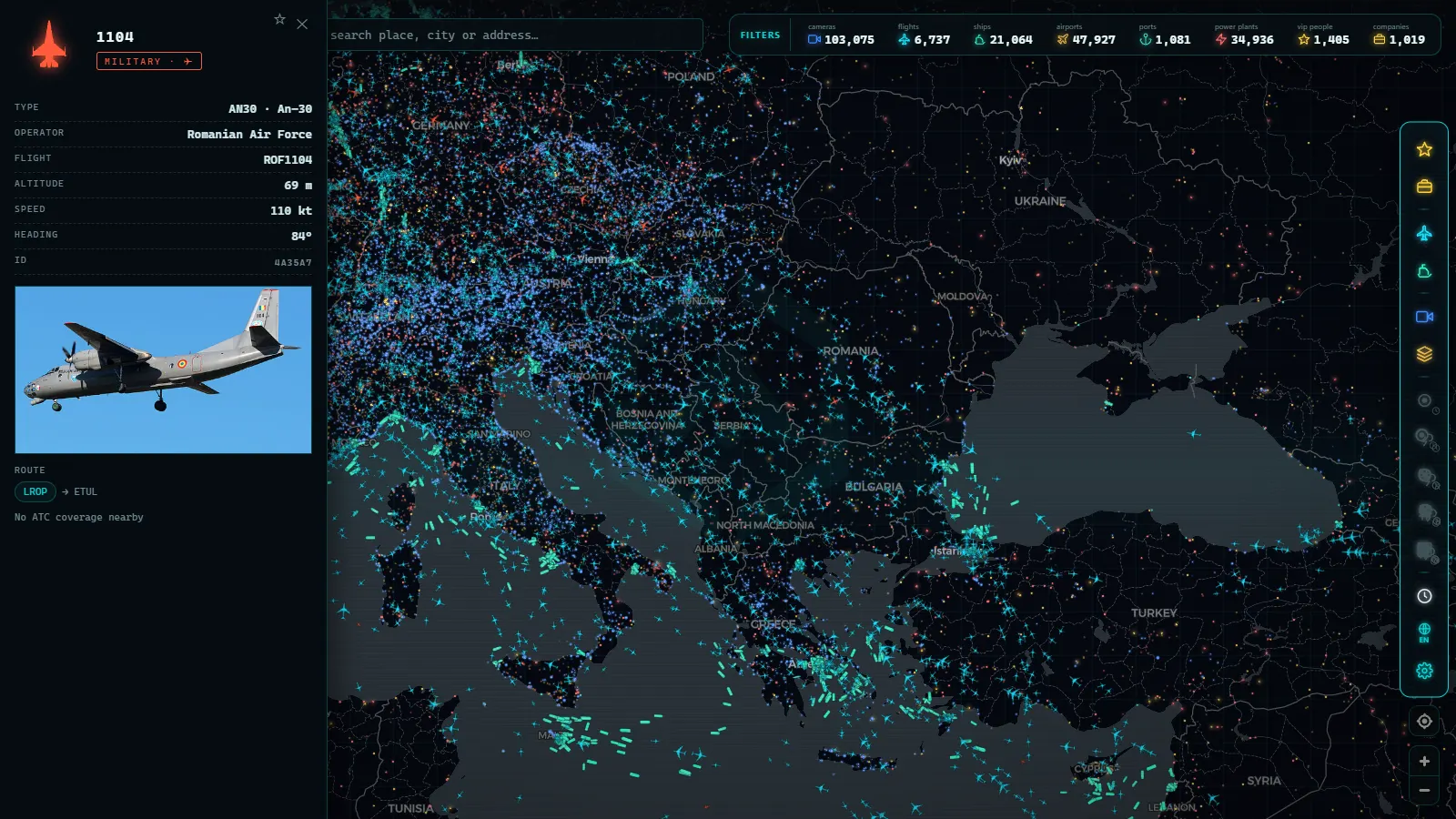
What typically appears on a public map
Over time, observers of military traffic learn to recognize certain recurring signatures. Without discussing specific operations (which change daily and are not the point of this article) here are the classic patterns:
Tankers in holding orbits
Refueling aircraft are probably the most striking on the map. Their job is to wait in an assigned area for receivers to arrive, so they trace racetracks: elongated ovals repeated over and over for hours. When you see a track like that at high altitude (common over the UK, the North Sea, the eastern Mediterranean, or US military exercise areas) it is almost always a tanker on duty. US Air Force KC-135s and KC-46s, RAF Voyagers, and French A330 MRTTs all trace this signature.
Heavy transports between bases
Large military cargo aircraft fly long routes between bases and airports, often with technical stops. Their tracks resemble a civil freighter: a relatively direct line, stable cruise altitude, typical jet transport speeds. C-17 Globemasters, C-130 Hercules variants, and A400M Atlases are the bread and butter of visible military traffic. You will regularly spot them crossing the Atlantic, moving between NATO bases in Europe, or transiting through Middle Eastern hubs.
Surveillance platforms with characteristic patterns
Airborne warning, reconnaissance, and early warning aircraft typically work in recognizable patterns: closed circuits over an area, parallel passes like a mower cutting a field, or long loiters in a specific zone. The shape of the track tells you what type of work the platform is doing, even if it tells you nothing about the content of that work. US E-3 Sentries, RAF RC-135 Rivet Joints, and P-8 Poseidons on maritime patrol all draw distinct signatures on a live map.
From the ARGOS ATLAS channel.
Why other military aircraft do not appear
Here is the other half of the story. The system that makes flights visible depends on the aircraft itself broadcasting its position. In the military world, that broadcast is an operational decision.
When a mission is sensitive, the aircraft may fly with its transponder off or using limited modes that do not broadcast position openly. The aircraft remains visible to primary defense radars (which detect the physical echo of the airframe without any cooperation from the plane) but disappears from public maps, which feed on what aircraft voluntarily emit.
This explains an asymmetry that confuses many people: the same aircraft type can appear perfectly visible on a transfer flight one day and vanish from the map the next when entering an operational phase. It is not magic or a system failure, it has simply stopped transmitting. If you want to understand all the reasons an aircraft might not appear, we cover them in depth in why some planes do not appear on flight-tracking maps.
The practical consequence matters: what you see in open sources is always a partial picture. Rich and interesting, but partial by design.
Open-source tracking and the OSINT world
An entire community has grown around these signals. Aviation enthusiasts, open-source intelligence (OSINT) analysts, journalists, and researchers track visible military traffic and try to interpret it: identifying aircraft types, documenting deployments, detecting shifts in regional activity. Groups like Bellingcat, individual researchers on social media, and dedicated monitoring accounts have built sophisticated methodologies around public ADS-B data.
It is a fascinating phenomenon and, done well, a genuinely valuable one: much of what the public knows about open military movements comes from this collective work. But it deserves a healthy dose of caution:
A pattern is not an intention. Seeing a tanker orbiting or a surveillance aircraft over a region tells you there is activity, not why it is there or what it means.
The typical errors of hasty analysis are always the same: confusing a training flight with a real operation, reading intent into a route that reflects only weather or traffic management, or assuming that a plane's absence from the map means it is not flying. Serious analysts cross-reference sources, know the routine patterns of each fleet, and (above all) distinguish between what they observe and what they interpret.
Is watching legal? Yes, with common-sense caveats
The question always arises, and the general answer is reassuring: receiving openly broadcast signals is lawful in the vast majority of countries. Aircraft that appear on maps emit their position unencrypted, on public frequencies, knowing that anyone with a receiver can listen. Looking at a map that aggregates those signals is as legal as listening to the radio.
The nuances arise in usage. Each country has its own framework on radiocommunications and on publishing information, and common sense adds its own layer: there is a difference between observing and commenting on visible traffic, and constructing speculative narratives about ongoing operations or flagging movements in sensitive contexts. Publicly available information does not stop having consequences simply because it is public.
The practical rule is simple: observe everything you like, share what is public and verifiable, and when you enter sensitive territory ask yourself whether your publication adds knowledge or just noise with risk attached.
The Military layer in Argos Atlas
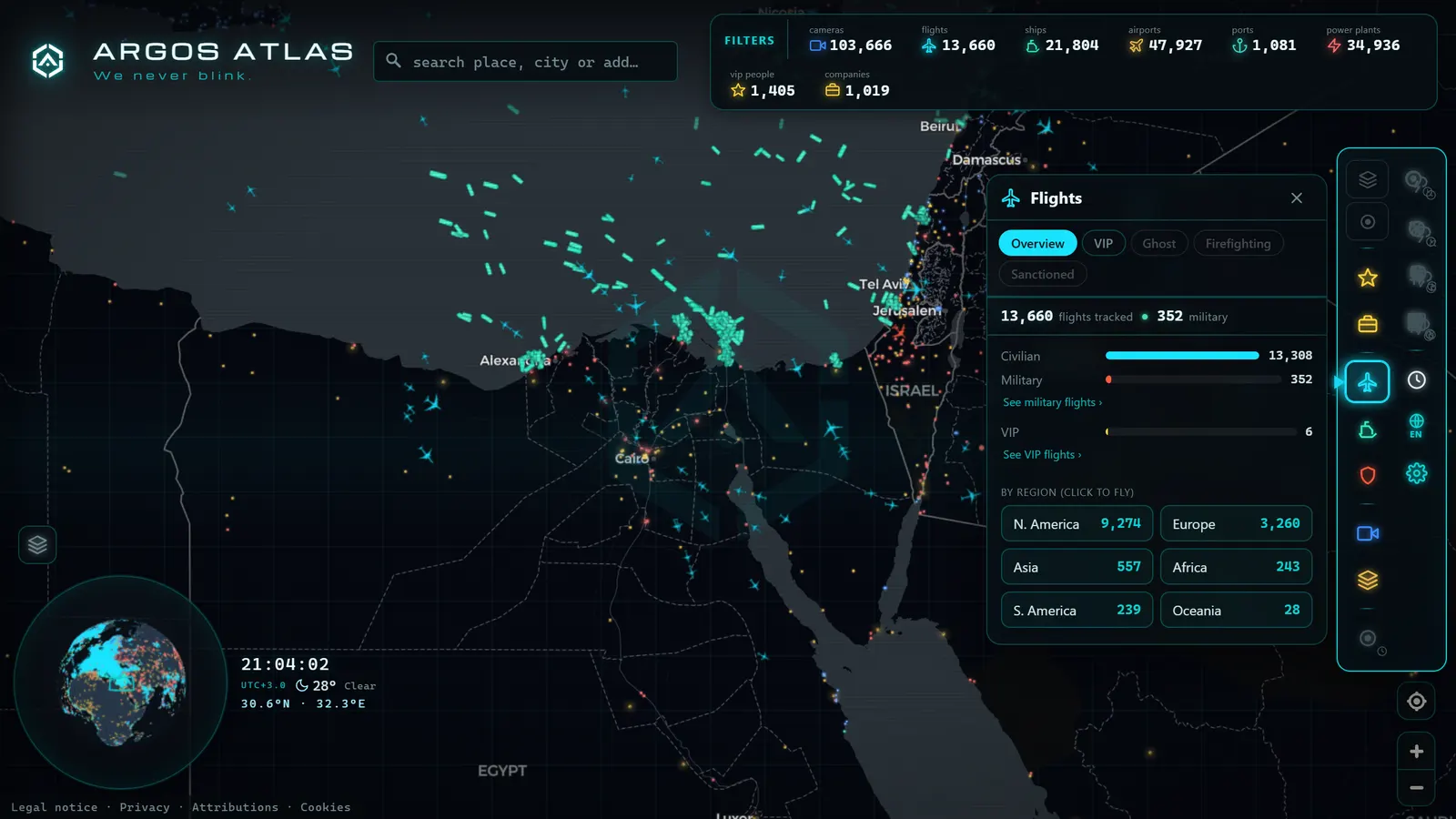
If you want to see all of this with your own eyes, you do not need to build a receiver on your rooftop. Argos Atlas includes a Military window that shows military aircraft and vessels live on the map, coexisting with civil aviation and the other layers. You can open it, see what military traffic is broadcasting right now in your region, and compare those tracks with surrounding commercial flights.
It is the most direct way to verify what this article describes: you will see transports en route, holding patterns, and (with a little patience) you will start recognizing the routines. You will also notice the silences: zones and moments where you know there is activity but the map shows nothing, because nothing is transmitting.
Sharing responsibly
One final point before the FAQ section, because it matters. The popularization of flight tracking means screenshots of military maps circulate across social media at speed, often without context. Before sharing, three filters are worth applying:
- Verify: is it really the aircraft you think it is? Types are easily confused and callsigns change.
- Contextualize: is this a known routine or something unusual? Most of the time it is routine.
- Moderate your conclusions: describe what you see, not what you imagine it means.
Open-source observation is a relatively recent privilege. Using it with judgment is the best way to keep it as accessible as it is today.
Frequently asked questions
Is it legal to track military aircraft online?
Yes, as a general rule. ADS-B and similar signals are broadcast openly, unencrypted, on public frequencies, and receiving them is lawful in most countries. Public maps are not hacking anything: they aggregate what aircraft voluntarily emit. The nuance lies in subsequent use: publishing and commenting on that information requires responsibility, especially in sensitive contexts.
Why do some military aircraft appear on the map?
Because the bulk of military air activity is routine that takes place in civil airspace: transport between bases, refueling flights, training, maritime patrols. That traffic coexists with hundreds of commercial flights and needs to be visible to controllers and to other aircraft. Broadcasting position in those cases is a safety measure, not an oversight.
What types of military aircraft are seen most often?
The most common on open maps are heavy transport aircraft on logistics routes, refueling tankers tracing holding orbits, maritime patrol aircraft sweeping ocean areas, and surveillance platforms flying circuit patterns. Combat aircraft appear mainly during repositioning and training; on sensitive missions, rarely.
Can you watch military exercises or missions live?
Only partially. What you see is the portion of activity that aircraft choose to broadcast. Sensitive mission phases are typically flown with the transponder off or in limited modes, so the map shows routine movements but not the operation itself. That is why overinterpretation is worth avoiding: a visible track is a data point, not a complete story.
Conclusion
Military aircraft tracked in real time are one of the most surprising aspects of live flight maps: an enormous share of routine military activity flies in plain sight because shared airspace safety requires it. Another share (the sensitive part) stays deliberately off screen. Understanding that boundary (what is transmitted, what is not, and why) is what separates an informed observer from one who draws hasty conclusions.
If your curiosity is piqued, the best way to keep learning is to look. You can open the map of Argos Atlas, activate the Military window, and see which military aircraft and vessels are broadcasting right now alongside the surrounding civil traffic. And if you want to follow the thread further, the article on how to see aircraft in real time is the natural next step.
Frequently asked questions
Is it legal to track military aircraft online?
Receiving signals broadcast openly (such as ADS-B transmissions) is lawful in the vast majority of countries. Public maps display only what aircraft themselves emit unencrypted. What matters is how that information is used: publishing it responsibly and avoiding speculation is part of the deal.
Why do some military aircraft appear on the map?
Because much military flying is routine and takes place in shared civil airspace: logistics runs between bases, refueling, training flights, or repositioning. To coexist safely with commercial traffic, these aircraft need to be visible, so they broadcast their position just like any other plane.
What types of military aircraft are seen most often?
Mainly heavy transports, tankers flying holding orbits, maritime patrol aircraft, and surveillance platforms tracing characteristic patterns. Fighter jets on sensitive missions, by contrast, rarely appear.
Can you watch military exercises or missions live?
Only the portion that the aircraft themselves choose to broadcast. Sensitive mission phases are flown with the transponder switched off or in limited modes, so what you see on the map is always a partial picture. A visible track does not equal knowledge of the mission.
- Registration, Callsign, ICAO Hex: How to Identify Any Aircraft Flying Over You
- The World's Busiest Air Routes (and Why Planes Don't Fly in Straight Lines)
- Track Flights in Real Time Over Mexico: A Complete Airspace Guide
- Live Flights Over Argentina: Ezeiza, Aeroparque and the Patagonian Airports
- Live Flights over Australia and Oceania: Qantas, Virgin Australia and Trans-Pacific Routes
- Live Flights Over Japan: ANA, JAL and the World's Busiest Domestic Routes