Blog · Live flights
Live Flights Over Canada: Air Canada, WestJet and the Routes of the Great North
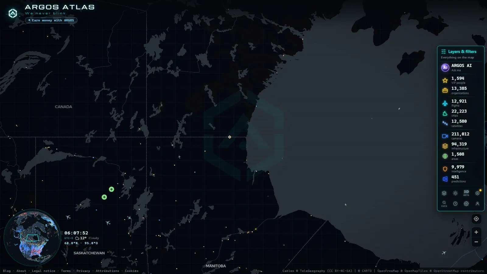
The World's Largest Sky: Canada's Airspace
Canada is the second-largest country on Earth, covering more than 9.98 million square kilometres from the Atlantic shores of Newfoundland to the Pacific coast of Vancouver Island, and from the US border all the way north to the remote islands of the High Arctic. The airspace that blankets this territory is one of the most complex and varied in the world: ultra-dense corridors over the southern cities, lonely regional hops over sub-Arctic forests, and the silent polar superhighways used by jets crossing between continents.
Watching live flights over Canada is a way to grasp how aviation holds together a country that geography would otherwise keep apart, and how the planet's spherical shape turns the frozen North into a shortcut between continents.
---
Air Canada: The Flag Carrier and Its Star Network
Air Canada is the country's national airline and one of the twenty largest carriers in the world by revenue passenger kilometres. Its primary hub is Toronto Pearson International Airport (YYZ), from which it radiates service to more than 200 destinations on six continents. Secondary hubs in Vancouver (YVR) and Montreal (YUL) complete a golden triangle that accounts for the vast majority of Canada's commercial air traffic.
The Air Canada fleet includes Boeing 787 Dreamliner, Airbus A220, and A330 widebodies, plus regional aircraft operated under the Air Canada Express banner. Long-haul flights (particularly to Asia-Pacific, Europe, and Latin America) are among the most visually striking on any live air traffic map: slow-moving dots drifting across the North Atlantic or the polar Pacific for hour after hour.
Signature Air Canada Routes
- Toronto–Vancouver (YYZ–YVR): one of the longest domestic routes in North America at over 3,300 km, operated with up to 20 combined daily departures between Air Canada and WestJet, the country's main east-west spine.
- Toronto–London (YYZ–LHR): a historic transatlantic route with multiple daily frequencies, a backbone of the North Atlantic corridor.
- Vancouver–Tokyo (YVR–NRT): a transpacific service that arcs over the North Pacific, with a flight time of around 10 hours.
- Montreal–Paris (YUL–CDG): the quintessential Franco-Canadian connection, driven by strong cultural, linguistic and business ties.
---
WestJet: The Low-Cost Challenger That Went Global
Founded in Calgary in 1996, WestJet started as a low-cost carrier serving western Canada and has grown into the country's second-largest airline, now with its own long-haul transatlantic programme. Its primary hub is Calgary International Airport (YYC), though it operates extensively from Toronto, Vancouver and Edmonton.
WestJet has placed Boeing 787-9 Dreamliners at the heart of its long-haul ambitions, connecting Canada to European leisure markets and the Caribbean. Its hybrid model (competitive fares with improved service) positions it as a direct challenger to Air Canada on the most popular routes.
"WestJet's emergence transformed the Canadian market: it introduced genuine competition on routes Air Canada had long dominated, driving down fares for millions of domestic travellers."
---
From the ARGOS ATLAS channel.
The Three Great Airports: Pearson, Vancouver and Trudeau
Toronto Pearson (YYZ)
Canada's largest airport handles roughly 50 million passengers in peak years and is the country's main international gateway. Pearson operates with two terminals (Terminal 1 and Terminal 3) and five runways, enabling intense simultaneous operations. On an air traffic map, the airspace around Toronto is among the densest on the American continent: dozens of aircraft in approach, departure or transit overlap at any moment of the day or night.
Vancouver International (YVR)
The country's second-busiest airport is the premier North American gateway to Asia-Pacific. Its geographic position at the southwestern corner of the Canadian mainland makes it the natural departure point for polar routes to Japan, South Korea, China and Australia. YVR also draws heavy domestic traffic from eastern Canada and serves as a regional hub for flights to Alaska, the northwestern United States and the Haida Gwaii archipelago.
Montreal-Trudeau (YUL)
Pierre Elliott Trudeau International Airport is Quebec's main gateway and Canada's third-busiest airport. It concentrates a disproportionate share of transatlantic flights to Europe (especially France, Belgium and Switzerland) reflecting Montreal's deep ties with the French-speaking world. It also serves as hub for Air Transat, one of Canada's largest leisure carriers for transatlantic holiday travel.
---
The East-West Corridor: Canada's Aerial Highway
One of the most striking features of Canadian air traffic is the domestic east-west corridor: an invisible aerial motorway linking the major cities along roughly the 45th to 50th parallel. Flights between Toronto, Ottawa, Montreal, Calgary, Edmonton and Vancouver follow one another in steady succession throughout the day, forming an almost continuous line across the map.
This corridor competes directly with road and rail for medium distances, but aviation dominates for journey times. The distance between Toronto and Vancouver is roughly equivalent to the distance between London and Moscow (about five hours of flying) which makes the aircraft virtually the only practical transport mode for most of the population on that route.
The corridor also illustrates a defining truth about Canada: despite its vast size, the country's population is concentrated in a narrow band along the US border. The air traffic reflects that distribution faithfully.
---
Arctic Airspace: The Polar Routes
Perhaps the most fascinating aspect of Canadian airspace for any flight-tracking enthusiast is the polar route network. Dozens of transpacific and transatlantic flights daily cross Canadian Arctic airspace (cruising at between 10,000 and 12,000 metres) exploiting the spherical geometry of the Earth.
Why Polar Routes Exist
The Earth's surface is a sphere, not a flat plane. The shortest path between two points on a sphere is a great-circle arc, not a straight line on a Mercator map. This means the shortest route between Vancouver and Frankfurt runs north over Greenland and the Canadian Arctic, cutting an hour or two off flights that would otherwise follow lower-latitude paths.
On the ARGOS ATLAS map, this effect is directly observable: flights between Europe and East Asia (or between North America and Asia) trace pronounced northward arcs, curving far above what an intuitive glance at a flat world map would suggest as the direct route.
Challenges of Arctic Operations
Flying over the Canadian Arctic means spending hours over regions with no diversion airports within range. Aviation regulators and airlines have developed specific rules (Extended Operations (ETOPS) requirements) governing which aircraft can use polar routes based on their ability to continue flying safely on a single engine for extended periods. Modern long-haul widebodies are certified for ETOPS-180 or beyond, meaning they can operate routes where the nearest diversion is up to three hours away on one engine.
---
Regional Aviation: Connecting the Far North
Beyond the major urban hubs, Canada depends on aviation to connect remote communities that have no road access. Regional carriers such as Air North, Canadian North and Calm Air operate routes into Yukon, the Northwest Territories, Nunavut and other Arctic regions. Their flights appear on live maps as isolated dots moving through vast empty spaces where almost no other human activity is visible.
In winter, many of these remote airports operate under extreme conditions: temperatures of minus 40 degrees Celsius, icy runways and reduced visibility. The logistics of these operations (many flights carry essential supplies as well as passengers) represent a remarkable feat of operational discipline. For communities like Resolute Bay or Pond Inlet, the weekly aircraft is not a convenience but a lifeline.
---
How to Use ARGOS ATLAS to Follow Flights Over Canada
ARGOS ATLAS integrates real-time ADS-B data to display all active flights over Canadian territory and its adjacent waters. Opening the map and enabling the flights layer reveals:
- Individual aircraft with registration, aircraft type and airline
- The density of traffic along the domestic east-west corridor
- The polar arcs of transpacific and transatlantic flights in real time
- Simultaneous activity at Pearson, Vancouver and Montreal
- Regional flights reaching northward into Arctic territory
Combining the flights layer with the airports layer adds context to every aircraft: which hub it departed from, which one it is heading to, and how far it has yet to travel. Clicking on a flight opens its details panel with altitude, speed and estimated route.
For aviation enthusiasts, researchers and anyone curious about how global connectivity actually works at a physical level, watching the live flow of aircraft over Canada offers an experience that no static map or statistics table can replicate.
---
Air Traffic as a Portrait of Canada
Watching live air traffic over Canada is, in a sense, watching a portrait of the country itself. The dense cluster of lights over the southern corridor reflects where 90 percent of Canadians live, within 160 kilometres of the US border. The sparse scattering of individual flights to the north reflects the vastness that the country's name conjures but that few people actually experience.
The polar routes add a third dimension: Canada as a transit corridor between worlds, its frozen north silently threading together Asia, Europe and the Americas while the passengers aboard sleep through the dark. ARGOS ATLAS lets you watch all of it unfold in real time, from the frantic approach sequences at Pearson to the solitary arc of a 787 drifting over Baffin Island at 39,000 feet.
Frequently asked questions
What is the busiest airport in Canada?
Toronto Pearson International Airport (YYZ) is the country's largest, handling over 40% of Canada's international air traffic and serving as Air Canada's primary hub.
How can I watch flights over Canada in real time?
ARGOS ATLAS displays all active flights over Canadian territory on its live air traffic layer, with registration, altitude, speed and airline information updated in real time.
Do flights actually fly over the Canadian Arctic?
Yes. Many transpacific and transatlantic flights cross Canadian Arctic airspace using polar routes, which significantly reduce flight times between North America, Europe and Asia by following great-circle paths.
- Flightradar24 Alternatives: Free Flight Trackers Compared
- Live Flight and Ship Tracker: Planes and Ships on One Map
- How to Track Planes in Real Time: A Guide to Online Flight Radar
- What is ADS-B: the technology that makes flight tracking possible
- Why Some Aircraft Don't Appear on Online Flight Trackers
- Military Aircraft in Real Time: What You Can See in Open Sources, and What You Cannot