Blog · World webcams
Live Webcams from Caribbean Coasts: Cuba, Dominican Republic, Jamaica, Puerto Rico, Aruba and Barbados
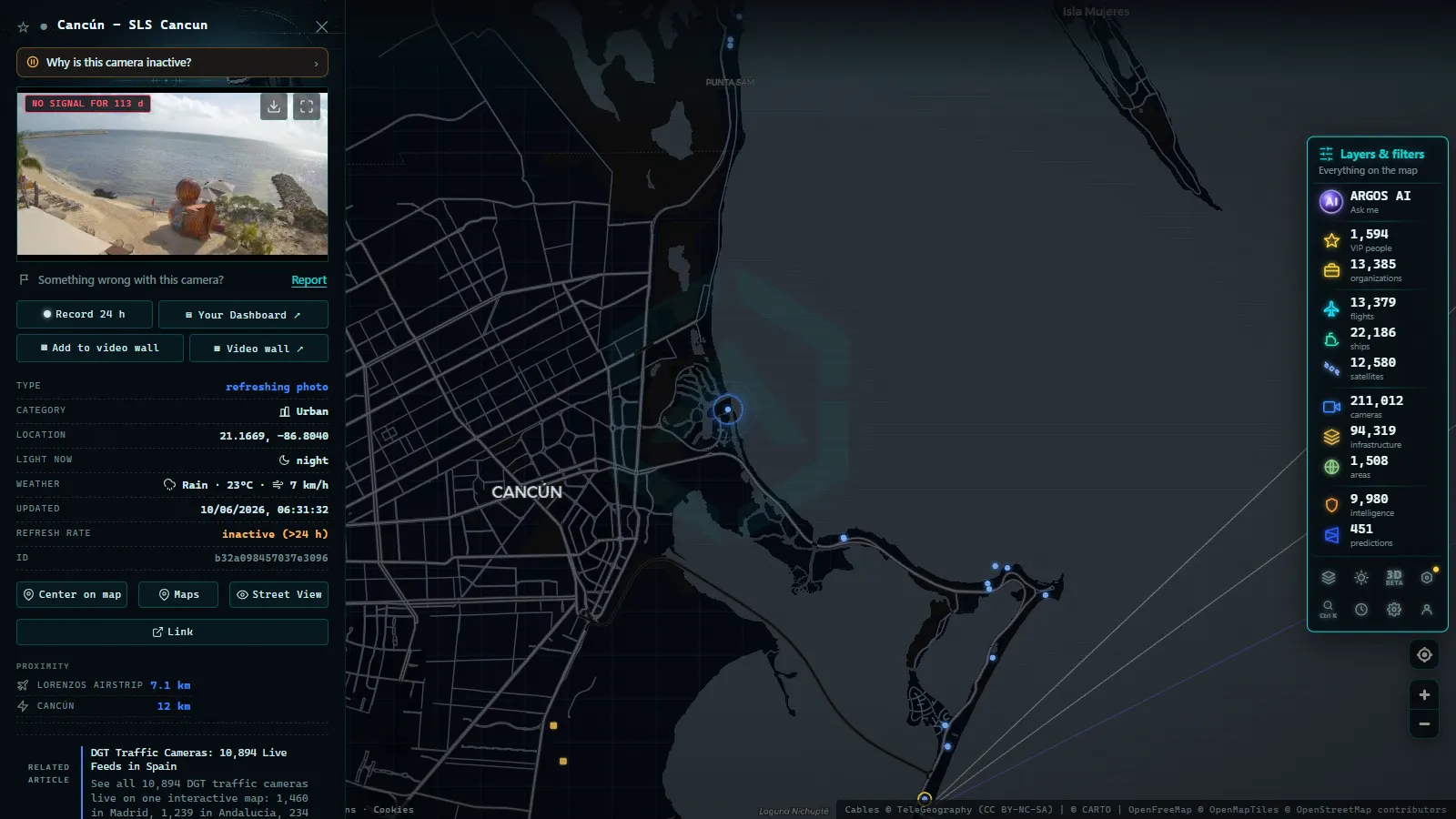
The Caribbean is simultaneously one of the world's most photographed tourist destinations and one of the densest corridors of international maritime traffic. Thanks to the proliferation of IP cameras at hotels, meteorological agencies, port authorities, and emergency services, it is now possible to watch its coastlines in real time from any device, anywhere in the world. This article covers the main sources of live webcams across Cuba, the Dominican Republic, Jamaica, Puerto Rico, Aruba, and Barbados, and explains how ARGOS ATLAS brings those feeds together with flight data, ship tracking, and weather layers for a unified picture of the region.
Why the Caribbean Has So Many Coastal Cameras
The island geography of the Caribbean imposes a coastal surveillance logic quite different from continental settings. Port authorities must control vessel entries and exits through narrow channels; resorts manage the guest experience with live beach views; national and international meteorological services install cameras to measure visibility, wave height, and tropical storm formation. Together these create a dense web of public and semi-public imagery covering everything from small fishing piers to major cruise terminals.
"A single well-positioned camera on a Caribbean headland can simultaneously reveal sea state, the presence of cruise ships, atmospheric visibility, and beach activity."
The tourism factor amplifies this further: travel operators and destinations publish open feeds to attract bookings. Those cameras, designed for marketing, become real-time data sources exploitable for mobility analysis, investigative journalism, and environmental monitoring.
Cuba: Havana, Varadero and the Northern Coast
Cuba presents a distinctive situation: the camera infrastructure exists, but external access is intermittent due to bandwidth constraints and telecommunications policies. The most stable feeds come from the Port of Havana, where the port authority maintains cameras trained on the entry channel, and from hotel complexes in Varadero, which broadcast beach conditions for their booking portals.
What You Can Observe
- Cruise ship movements at Havana's terminal: large vessels must transit the port's narrow channel, remaining visible for several minutes from fixed cameras.
- Sea state at Varadero: swell on the northern coast varies considerably between the dry season (November-April) and the wet season (June-October). Hotel webcams are the most immediate indicator.
- Activity in Cienfuegos Bay: though with less camera coverage, this industrial bay has observation points linked to port facilities.
By combining these feeds with AIS data available on ARGOS ATLAS, it is possible to match the visual image of a vessel with its identification, flag, tonnage, and declared route.
Dominican Republic: Punta Cana, Santo Domingo and Samana
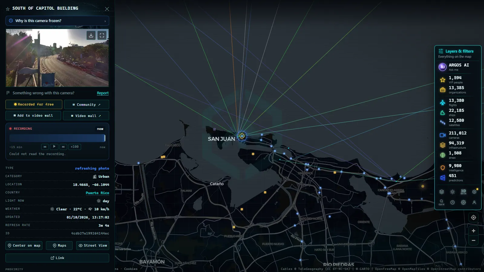
The Dominican Republic has the highest tourist density in the Caribbean, which translates into abundant public cameras. Punta Cana International Airport has semi-public cameras aimed at the runway and taxiway, while along the Bavaro coastline several all-inclusive resorts maintain 24-hour beach transmissions.
Santo Domingo: Port and Malecon
The capital offers a different perspective: cameras at the Port of Haina, a few kilometers west, are particularly useful for tracking cargo movements. On the Santo Domingo malecon, traffic cameras installed by the Ministry of Public Works face the sea, capturing wind conditions and atmospheric visibility.
Samana: Whales and Sailboat Traffic
Between January and March, Samana Bay concentrates the largest population of humpback whales in the North Atlantic. Whale-watching operators occasionally broadcast live during the season. Outside it, the bay is a regular corridor for sailboats and leisure craft heading through the Mona Passage toward Puerto Rico.
Recorded straight off the map, no sound.
Jamaica: Kingston, Montego Bay and Negril
Jamaica combines a major industrial port in Kingston with a high-end tourism facade in Montego Bay and Negril. Port of Kingston cameras, operated by the Port Authority of Jamaica, are among the most reliable in the region, with feeds trained on container terminals.
North Coast Beaches
In Negril, the famous Rick's Cafe cliff bar and several beachside establishments maintain live cameras aimed at the Caribbean Sea. These images, designed to attract tourists, show real-time visibility, water color, and recreational vessel activity. Montego Bay has additional coverage from the free-trade zone and the airport, whose security systems partially face the bay.
Weather and Hurricane Monitoring
Jamaica sits directly in the main Atlantic hurricane corridor. The Meteorological Service of Jamaica and regional networks operated by NOAA maintain coastal cameras that are especially critical between June and November, when rapid storm intensification demands visual confirmation to supplement radar data.
Puerto Rico: San Juan, Mayaguez and Ponce
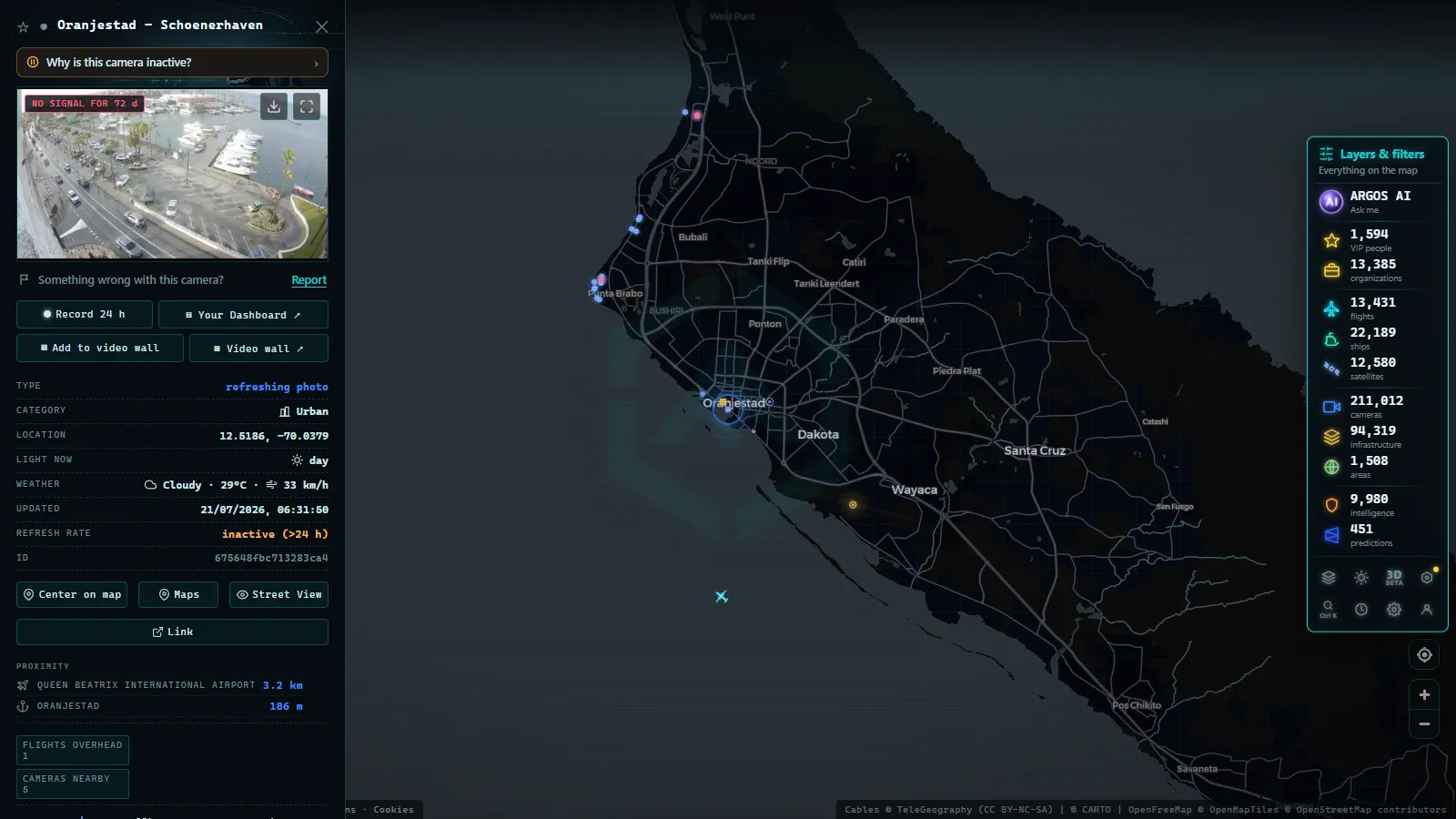
Puerto Rico, as a United States territory, has the densest monitoring infrastructure in the Caribbean. The US Coast Guard and NOAA maintain weather and maritime surveillance camera networks covering the entire island.
Old San Juan and the Bay
The Port of San Juan is one of the busiest cruise ports in the Western Hemisphere. Cameras at the Old San Juan cruise terminal allow viewers to watch the arrival and departure of ships from all major cruise lines, with up to five vessels simultaneously docked during peak season. AIS data on ARGOS ATLAS complements these images with exact identification of each vessel.
Coastal Weather Monitoring
NOAA's Puerto Rico camera network includes stations at Mayaguez, Ponce, and Aguadilla broadcasting coastal atmospheric conditions. These feeds are particularly valuable during hurricane season (June-November), when the rapid evolution of tropical systems makes real-time visual observation indispensable alongside satellite imagery.
Aruba: Oranjestad and the Windward Beaches
Aruba stands out from the rest of the Caribbean for its position outside the hurricane belt, which guarantees stable weather conditions and an almost uninterrupted tourist season year-round. The most-viewed cameras are concentrated on Eagle Beach and Palm Beach, two of the island's densest hotel corridors.
Oranjestad Cruise Terminal
The Oranjestad cruise terminal receives more than one million passengers annually. Pier cameras capture large ships anchored off the city, with the Oranjestad skyline visible in the background. ARGOS ATLAS integrates AIS data for these vessels, allowing users to identify the name, cruise line, origin, and destination of every ship visible on screen.
Surf and Kitesurfing Cameras
Aruba's windward coast, particularly at Boca Grandi and Aruba Kite Beach, hosts international kitesurfing competitions. Tournament organizers and kite schools maintain live cameras aimed at launch zones, broadcasting precise wind conditions for competitors and spectators alike.
Barbados: Bridgetown Harbour and the East Coast
Barbados rounds out the eastern Caribbean coverage. Bridgetown Harbour is the island's main commercial and cruise port, and cameras at the deep-water terminal capture the constant movement of vessels against the backdrop of the capital. The east-facing Atlantic coast (windier and rougher than the sheltered Caribbean side) has cameras maintained by surf operators and meteorological stations that show the full force of trade-wind swells.
Grantley Adams International Airport
The airport's perimeter camera coverage, supplemented by plane-spotting feeds maintained by aviation enthusiasts, provides a view of aircraft movements over the sea approach. Cross-referencing these images with the flight tracking layer in ARGOS ATLAS reveals complete arrival and departure sequences for one of the region's busiest international gateways.
How to Use ARGOS ATLAS to Monitor the Caribbean
ARGOS ATLAS brings together in a single interactive map coastal webcams, AIS ship data, flight tracking, and weather indicators for the entire region. To follow the Caribbean in real time:
- Activate the webcam layer from the side panel. Blue dots indicate cameras with an active feed; grey dots mark cameras with intermittent transmission.
- Cross-reference with the AIS layer: select a vessel identified near an active camera to obtain combined visual and positional data.
- Check the flight layer: major Caribbean airports display real-time traffic indicators, useful for coordinating arrivals with coastal observations.
- Filter by island or country using the integrated search to center the view on a specific coastline without losing regional context.
This combination of layers makes ARGOS ATLAS a reference tool for journalists, researchers, tourism operators, maritime security agencies, and anyone interested in following the pulse of the Caribbean from a screen.
Notes on Privacy and Feed Availability
Not all cameras transmit continuously. Many hotel feeds go offline during low season or when the operator updates its systems. Official meteorological cameras are the most stable but may offer limited resolution. ARGOS ATLAS periodically verifies the availability of each feed and clearly marks those temporarily out of service, preventing users from wasting time on dead links.
Coastal monitoring of the Caribbean, once the exclusive domain of coast guards and meteorologists, is now accessible to anyone with an internet connection. The live webcams of Cuba, the Dominican Republic, Jamaica, Puerto Rico, Aruba, and Barbados are open windows onto a region in constant motion, and platforms like ARGOS ATLAS make that information organized, accessible, and genuinely useful.
Frequently asked questions
Are there live webcams of Cuban beaches?
Yes, cameras operated by tourist facilities and meteorological agencies exist at destinations like Varadero and Havana, though availability varies. ARGOS ATLAS aggregates active feeds you can browse on the map.
Can I see real-time sea conditions from the Dominican Republic?
Yes. Punta Cana, Bavaro and La Romana have coastal cameras broadcasting sea conditions, wind, and small-vessel traffic. They are useful for planning excursions or checking wave heights before heading out.
What are Caribbean port webcams used for?
They allow real-time monitoring of cruise ships, ferries, and cargo vessels. Combined with ARGOS ATLAS AIS data, they provide a complete picture of regional maritime traffic, including vessel identity, flag, and declared route.
- APRR Webcam Live: Every Camera, One Live Map
- Spain Eclipse Traffic Measures Aug 12: Path & Live Webcams
- Spain Beach Webcams: Watch the Coast Live Before You Go
- Hurricane Live Cameras: Watch Miami's 982 Feeds This Season
- Perseids 2026: when to watch and how to see them live
- Canary Islands webcams: 642 live cameras, island by island