Blog · Traffic cameras
Live Traffic Cameras in Australia: Transport for NSW, VicRoads, Queensland TMC and More
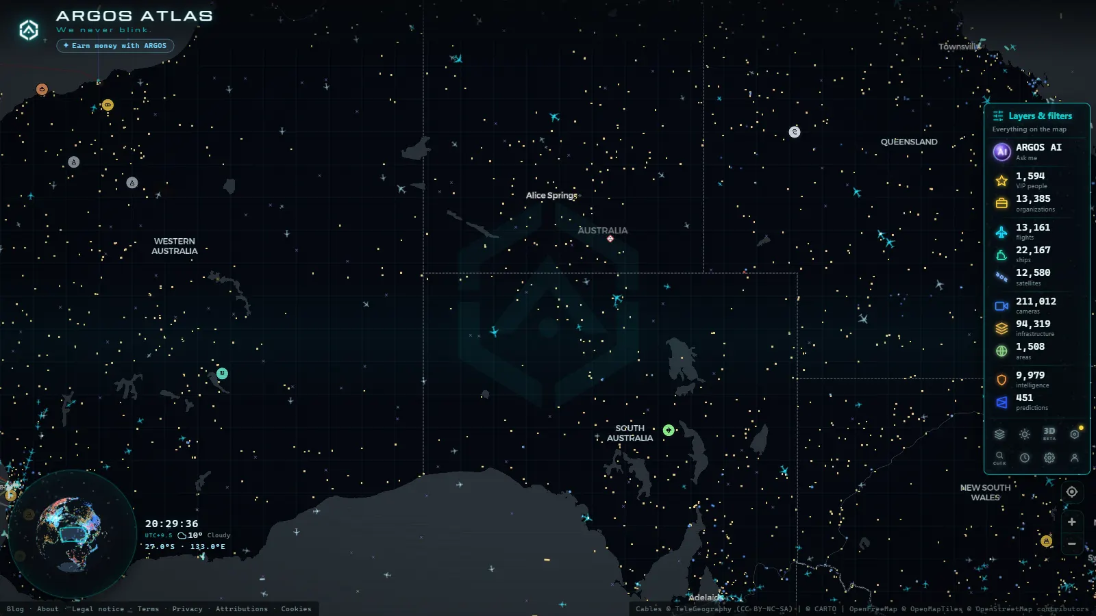
Australia's motorway camera network at a glance
Australia is a continent-sized country where each state manages its own road network with considerable autonomy. Sydney, Melbourne, Brisbane, Perth and Adelaide each have distinct motorway systems, and each state has its own agency responsible for traffic management, complete with camera networks, variable message signs and control centres that run continuously.
For anyone trying to monitor Australian road conditions (whether for commute planning, freight logistics, journalism or infrastructure research) understanding which agency covers which corridor is essential. Tools like ARGOS ATLAS aggregate publicly available camera feeds from around the world, including Australia, making it possible to view conditions across the continent from a single map interface.
---
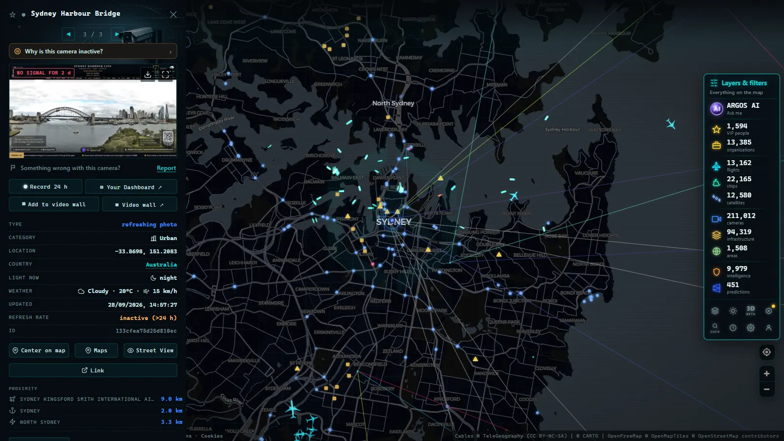
Transport for NSW: Sydney's motorway surveillance backbone
Transport for NSW (TfNSW) is the agency responsible for the state's transport infrastructure and operates the Sydney Traffic Management Centre (STMC), which monitors and coordinates the city's motorway network in real time.
Key corridors under camera coverage
Sydney's freeway system is dense and heavily trafficked. Among the most closely monitored routes:
- M1 Pacific Motorway: the primary corridor connecting Sydney to the Gold Coast in Queensland, with cameras distributed along its full length through the city's southern suburbs.
- M2 Hills Motorway and M7 Western Sydney Motorway: orbital routes circling the western edge of the metropolitan area, carrying significant freight and commuter volumes.
- Sydney Harbour Bridge and Harbour Tunnel: two of the country's most iconic pieces of infrastructure, monitored continuously because incidents here cascade through the entire network.
- M4 Western Motorway: the main gateway toward the Blue Mountains and inland New South Wales.
- Cross City Tunnel and Lane Cove Tunnel: urban tunnels where camera density is particularly high due to the operational complexity of managing enclosed infrastructure.
"On Sydney's motorways, a summer storm can transform a free-flowing corridor into a standstill in under ten minutes. Camera feeds are the fastest way for operators to confirm what is happening before rerouting traffic."
The STMC uses these feeds alongside loop detectors and incident reports to coordinate real-time responses, including deploying incident response vehicles and updating electronic message signs.
---
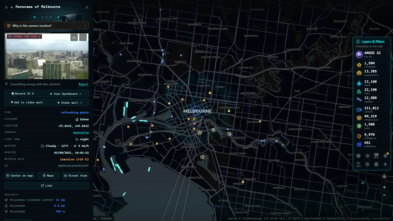
VicRoads and Melbourne's freeway system
Victoria was among the first Australian states to invest heavily in intelligent transport systems. VicRoads (now partially absorbed into the Department of Transport and Planning) maintains an extensive camera network across Melbourne's freeways and regional access routes.
Primary monitored corridors
- M1 CityLink: the main toll corridor running through central Melbourne and connecting Tullamarine Airport with the city's southeastern suburbs. It is arguably the busiest freeway in Victoria.
- M3 Eastern Freeway: carries heavy commuter volumes from the eastern suburbs toward the CBD, with reversible lanes during peak hours managed using camera and sensor data.
- M80 Ring Road: Melbourne's northern orbital, with above-average heavy vehicle traffic due to its connection with intermodal freight hubs.
- West Gate Freeway (M1 extension): crosses the Yarra River and is a persistent congestion point, compounded in recent years by construction of the West Gate Tunnel project running alongside it.
Melbourne's system integrates camera feeds with dynamic speed limits and lane control signals, enabling faster incident response than static signage systems allow.
---
From the ARGOS ATLAS channel.
Queensland TMC: Brisbane, Gold Coast and beyond
The Queensland Traffic Management Centre operates from Brisbane and oversees the state's motorway network, which stretches from the Gold Coast in the south to Sunshine Coast in the north and extends inland through Ipswich.
Critical monitored locations
- M1 Pacific Motorway (Brisbane to Gold Coast): one of Queensland's most congested routes, particularly on weekends and during school holidays when tourism peaks.
- M3 Logan Motorway: a major freight and commuter distributor connecting Brisbane's southern suburbs to Ipswich and the Cunningham Highway.
- Gateway Motorway (M1/M7): the primary access route to Brisbane Airport. Camera coverage here is dense because a single incident near the terminal precinct can affect multiple access corridors simultaneously.
- Brisbane's tunnels, Legacy Way and Airport Link: Queensland has invested significantly in urban tunnels, and these corridors have higher camera density than open motorways due to safety and operational requirements.
Queensland has also integrated its traffic data with public-facing journey planner applications, making its feeds somewhat more accessible than those of some other states.
---
Western Australia: Main Roads WA and the Perth network
Perth is the most car-dependent major city in Australia by most measures, which makes Main Roads Western Australia's camera network a critical piece of the city's daily operations.
- Mitchell Freeway (M2): runs along Perth's coastal corridor from the northern suburbs into the city centre. It is the primary northbound commuter route.
- Kwinana Freeway (M1): the southern counterpart, carrying traffic toward Fremantle, Rockingham and the Peel region.
- Graham Farmer Freeway: an underground link connecting Perth's northern and eastern corridors, heavily monitored given the confined environment and the absence of alternative routes in the event of closure.
Perth's geographic isolation (it is the most remote major city on Earth by some definitions) means that motorway reliability carries particular weight for logistics and emergency services operating across Western Australia.
---
South Australia and beyond
Adelaide's Department for Infrastructure and Transport (DIT) manages a smaller but well-instrumented network covering the South Eastern Freeway, the Northern Expressway and central city arterials. Tasmania, the Australian Capital Territory and the Northern Territory maintain more modest camera networks reflecting lower population densities, but key corridors in Hobart and Canberra are covered.
---
How ARGOS ATLAS brings Australian cameras together
Checking each state agency's platform individually is time-consuming: interfaces differ, coverage maps vary and some feeds require navigating legacy web portals. ARGOS ATLAS aggregates publicly available traffic camera feeds onto a single interactive global map.
From the platform you can:
- Browse active camera markers across Australia's major motorway corridors using geographic filters.
- Check conditions on a specific route before a planned journey or freight run.
- Layer traffic camera data alongside other live feeds available on the platform, including flight tracking and infrastructure data.
To explore Australian cameras, open the traffic camera layer in ARGOS ATLAS and navigate the map to the relevant city or corridor. Active markers indicate cameras with a live or recently updated feed.
---
A comparative overview of state systems
| State | Agency | Primary coverage | Public data access |
|---|---|---|---|
| New South Wales | Transport for NSW | Sydney metro and regional | High (public API) |
| Victoria | VicRoads / Dept. Transport | Melbourne metro and regional | High |
| Queensland | TMC Queensland | Brisbane, Gold Coast, Sunshine Coast | Medium-high |
| Western Australia | Main Roads WA | Perth metro and regional | Medium |
| South Australia | DIT | Adelaide metro | Medium |
---
Why real-time camera access matters for Australian roads
Australian motorways experience traffic patterns that are hard to model with static data. Sydney's summer storms, Melbourne's event-driven surges around the MCG and Marvel Stadium, Brisbane's tropical wet season and Perth's dependence on a small number of corridors all create conditions where real-time observation provides genuine operational value.
For freight operators, a blocked tunnel on CityLink can mean rerouting an entire delivery schedule across Melbourne. For broadcasters, camera access provides immediate visual confirmation of incidents before crews can reach the scene. For urban planners and infrastructure researchers, aggregated camera data reveals how networks perform under stress in ways that loop detectors alone cannot capture.
Australia's federated road management model (where each state operates with significant autonomy) means that no single national camera portal exists. Platforms that aggregate these distributed sources, like ARGOS ATLAS, fill that gap by making cross-state comparison and monitoring genuinely accessible.
For related coverage of other national traffic camera networks, see articles on /en/blog/camaras-trafico-reino-unido/ and /en/blog/camaras-trafico-estados-unidos/.
Frequently asked questions
Can I watch live traffic cameras on Sydney motorways?
Yes. Transport for NSW operates hundreds of cameras across Sydney's motorway network. Their feeds are accessible through monitoring platforms like ARGOS ATLAS that aggregate public traffic camera sources.
Does VicRoads have cameras on all Melbourne freeways?
VicRoads covers the main corridors including the M1 CityLink, the M3 Eastern Freeway and the Tullamarine airport link, with cameras monitoring conditions around the clock.
What is the difference between traffic monitoring cameras and speed cameras in Australia?
Traffic monitoring cameras are operational tools used by transport agencies to observe road conditions and manage flow. Speed cameras capture infringements and do not generally provide public live feeds.
- Traffic Cameras in New Zealand: Waka Kotahi NZTA, Auckland, Wellington and Alpine Passes
- Live Traffic Cameras in Belgium: Wallonie, Vlaanderen and the Brussels Ring
- Live Traffic Cameras in Japan: NEXCO Expressways, National Police Agency and Road Sensors
- Traffic Cameras in the Netherlands: Rijkswaterstaat, A1, A2, A4 and the Amsterdam and Rotterdam Networks
- Live Traffic Cameras in Portugal: Brisa, Infraestruturas de Portugal and the A1 Motorway
- Live Traffic Cameras in Switzerland: Alpine Passes, ASTRA and Road Conditions