Blog · OSINT & verification
Area 51 Live Map: What Open Sources Really Show Over Groom Lake
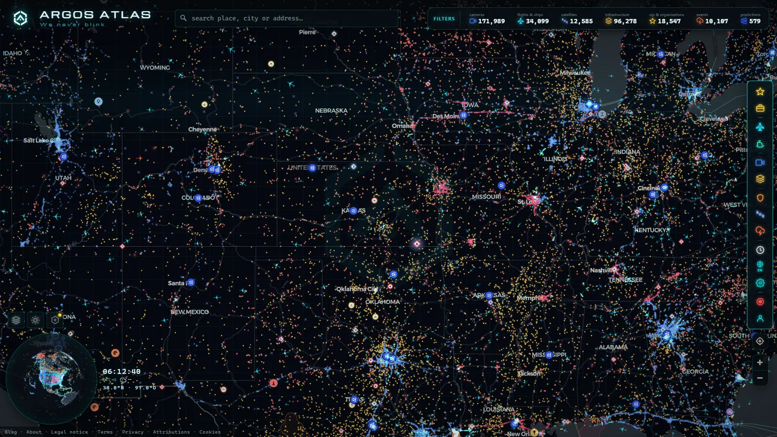
Type "area 51 live map" into a search box and you get two kinds of result: pages promising a live feed of Groom Lake, and forums arguing about what a blurry pixel means. Neither is worth your time. The honest version of this article is shorter and less exciting than both: there is no public camera pointed at Area 51, no live satellite over it, and no radar layer that will tell you what is parked inside those hangars.
What open sources do give you is the perimeter, and the perimeter is genuinely interesting. You can watch the restricted airspace that surrounds the base by looking at where civil traffic refuses to go. You can see the shuttle flights that carry workers in and out of Las Vegas. You can read free satellite imagery measured in metres per pixel and days between passes. That is a real, checkable picture. It just stops well short of the picture people arrive looking for, and saying so is the whole point of this page.
What an area 51 live map can actually show you
On the live OSINT map of flights, ships and cameras, the useful layers over southern Nevada are aircraft positions, the airport database and ground infrastructure. Homey Airport, ICAO code KXTA, exists in open aeronautical data like any other field: it has coordinates, a runway and a name. What it does not have is traffic you can follow. In the snapshot behind this article there were 10,932 aircraft in the air worldwide and 58 of them flagged as military, and not one of that second group was over Groom Lake.
The camera layer is where the gap is sharpest. The map carries 200,000+ public cameras (count as of September 2026), and the nearest ones to the base are highway cameras run by state transport agencies on interstate corridors far to the south and east. For scale, the Chicago metro area alone carries 1,118 cameras (count as of September 2026) while the desert basin around Groom Lake carries none. Public camera networks exist where there is traffic to manage. Nobody manages traffic on a road you are not allowed to drive.
The Box: the restricted airspace over Groom Lake
The airspace above the base is restricted from the ground up, inside the much larger Nevada Test and Training Range. Pilots refer to the core block, designated R-4808N on aeronautical charts, simply as the Box. It is not secret, it is printed on every chart that covers Nevada, and general aviation pilots learn to give it a wide margin because entering it is a career ending mistake.
That restriction is the most reliable live signal about Area 51 available in open data, and it works by negative space. Watch airliners crossing Nevada for a while and you will see the routes bend around an invisible rectangle. Nothing crosses it. The shape you can trace by following what avoids the area is more informative than anything inside it, because it is drawn by hundreds of independent aircraft that have no reason to cooperate with each other.
Why ADS-B goes quiet on any area 51 live map
ADS-B is a broadcast, not a radar. Each aircraft transmits its own position, and a network of volunteer and commercial ground receivers listens. That design is why ADS-B flight tracking works so well over Europe and so poorly over deserts and oceans, and it explains all three ways a track dies near Area 51.
First, most military aircraft transmit no position at all, or transmit identity without position. The rules that make ADS-B mandatory for civil traffic carve out exemptions, and military aircraft in open flight data are visible mainly when they choose to be, typically transports and tankers on routine legs. Second, some government and corporate aircraft use programs that mask the registration, so the aircraft appears with an identifier that leads nowhere. Third, and most often, there is simply no receiver in range. The signal needs line of sight, mountains block it, and rural Nevada has very few listening stations.
That third reason is the one to reach for first. A track that fades at low altitude over empty terrain is coverage geometry, not concealment. The general case is covered in why some aircraft do not appear on online radar, and it applies to hundreds of dull places that have nothing to hide.
From the ARGOS ATLAS channel.
Janet: the shuttle flights into Homey Airport
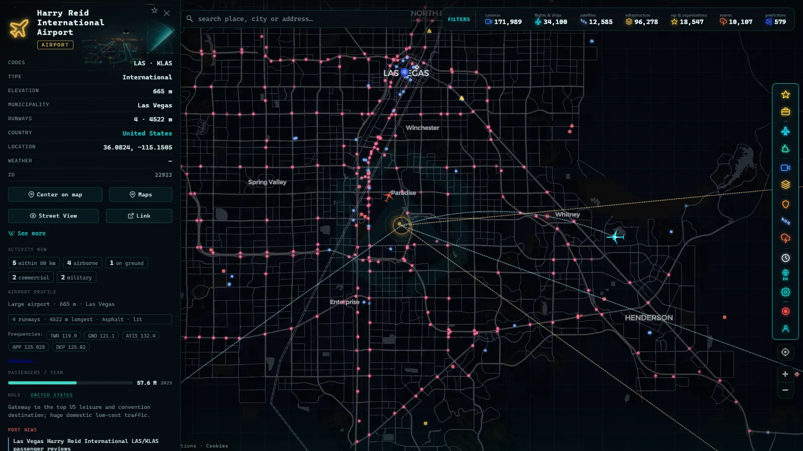
The least mysterious part of this story is also the most visible. A small fleet of white Boeing 737s with a red stripe operates employee shuttles from a dedicated terminal on the west side of Harry Reid International in Las Vegas, complete with its own fenced car park. They use the call sign JANET. Smaller turboprops fly the same kind of route to other range facilities.
These are the flights people actually catch on trackers. A departure out of Las Vegas often appears normally, climbs north, and then the track ends. What you can honestly conclude from that is narrow: a shuttle left, at roughly this time, heading in roughly this direction. What you cannot conclude is where it landed, since the range has more than one runway, or who was aboard, or what any of it means. The car park fills on weekday mornings because people go to work. The shift pattern is the story, and the shift pattern is boring.
What free satellite imagery resolves over Groom Lake
Free multispectral imagery is the most misunderstood tool in this whole subject. Sentinel-2 delivers roughly 10 metres per pixel, Landsat roughly 30, and both revisit any given point every few days. At 10 metres a runway is unmistakable, a large hangar is a handful of pixels, and an aircraft on the ramp is nothing at all. The sub-metre views you see in mapping basemaps are commercial archive imagery, often months or years old, and they are never a live feed. The practical limits of each tier are laid out in the guide to free satellite imagery and what resolution to expect.
| Open source | What it resolves at Groom Lake | How fresh | What it cannot tell you |
|---|---|---|---|
| ADS-B aircraft layer | Civil traffic bending around the restricted block | Seconds to a couple of minutes | Anything not broadcasting a position |
| Airport database (KXTA) | The field exists, with runway and coordinates | Static record | Movements, based aircraft, schedules |
| Free satellite, 10 to 30 m per pixel | Runways, ramps, building footprints, the dry lakebed | A few days between passes | Aircraft types, activity, anything under a roof |
| Archive high resolution basemaps | Individual buildings and parked vehicles | Months to years old | Anything about today |
| Public camera network | Nothing: no public camera covers the area | Not applicable | The ground view people expect to find |
| Conflict and event feeds | Nothing specific to the site | Not applicable | Internal activity of any kind |
Read that table as a whole and the shape of the problem is clear. Every row that is fast has no detail, and every row with detail is old.
Ground level: roads, signs and the closest legal viewpoint
State Route 375 runs past Rachel, a village of a few dozen residents that exists on the tourist map and almost nowhere else. Groom Lake Road leaves the highway and reaches a boundary marked by signs, sensors and a white pickup on a ridge. There is no fence for most of it and no gate, which is exactly why people cross it by accident and then discover that the warning about deadly force is not decorative.
The ridges that once offered a view, Freedom Ridge and White Sides, were absorbed into the withdrawn land decades ago. The remaining public high ground with a line of sight is Tikaboo Peak, a long drive on rough track followed by a genuine hike, and what you get at the end is a cluster of buildings shimmering at a distance that defeats most camera lenses. Before planning anything on the ground, the boundaries of what is lawful to observe and photograph are worth reading in the piece on the legality and ethics of open source investigation.
A five minute routine on an area 51 live map
- Centre the map on southern Nevada and zoom out until Las Vegas and Tonopah are both on screen. That is the frame the whole story happens in.
- Turn on the flight layer and leave it running for two or three minutes. Watch the corridor between Las Vegas and Reno. The gap that no track enters is the restriction.
- Look at Las Vegas departures on a weekday morning or late afternoon. Shuttle activity clusters around shift changes, and the tracks that end north of the city are the ones worth noting.
- Switch to satellite context for the base itself and accept what that layer is: an archive image, not a live one. Note the capture date if the viewer shows it.
- Write down what you actually observed, with a timestamp, separated from what you inferred. That single habit is the difference between an observation and a rumour.
What we cannot see over Area 51, said plainly
- No public camera covers the base or its access roads, and none is likely to.
- Aircraft operating inside the range do not broadcast positions you can receive, and no tracker changes that.
- Free satellite imagery updates in days, not seconds, and resolves metres, not aircraft.
- A track that ends is evidence of coverage or of a transponder setting, never on its own evidence of a landing.
- Nothing in open data speaks to what happens under a roof or below ground, anywhere.
What remains after all that is still a useful exercise. You can verify that the restricted block exists and see it enforced in real time by traffic that avoids it. You can watch a commuter operation that hides in plain sight behind a red stripe. You can measure a runway from orbit for free. That is a genuine open source picture of one of the most secretive places on earth, and its honest edges are what make the parts inside it worth trusting.
Is there a live webcam pointed at Area 51?
No. There is no public live webcam inside Area 51 or over Groom Lake, and there never has been one that stayed up for long. The base sits inside the Nevada Test and Training Range, a closed military airspace where camera equipment is barred past the marked perimeter and contractors are removed on sight by the security patrols locals call "cammo dudes." Any "Area 51 live cam" you find advertised online is either a static stock photo relabeled as live, a feed of a different desert location, or dead.
What an area 51 live map actually gives you instead is three separate live-ish signals, and it helps to be clear about which one is truly real time and which one only looks like it:
| Signal | Actually live? | What you get |
|---|---|---|
| ADS-B aircraft tracking | Yes, seconds of delay | Position of transponder-equipped planes near the box, including Janet flights once they climb high enough to broadcast |
| Satellite imagery | No | A snapshot from the last cloud-free pass, sometimes weeks or months old |
| Ground webcam of the base | Does not exist | Nothing: no public camera network reaches inside the restricted perimeter |
The nearest public traffic and highway cameras sit far outside the base, along ordinary Nevada roads, and none of them are aimed at Groom Lake; they exist for traffic monitoring, not for watching the facility. So when people ask for a live feed "of Area 51," the honest answer is that the closest thing on the open web is the aircraft layer: watching a Janet 737 or a military transponder appear, move, and disappear near the restricted boundary in near real time. That is a genuine live signal, just not a camera.
This is also why an area 51 live map is more useful framed as live movement rather than live video. If what you actually want is a live feed of aircraft activity in general, not tied to one restricted site, that broader picture is easier to find and to explain: see our guides on tracking military aircraft in real time and on watching planes live, which cover the same ADS-B mechanics this page uses for the Groom Lake approach paths.
Frequently asked questions
Is the area 51 live map free, live and open without registration?
Yes. The map is free, needs no account and no download, and the aircraft layer updates continuously. Free does not mean unlimited: the layers over southern Nevada are aircraft positions, airport records and terrain, and none of them shows activity inside the base.
Is there a live camera pointed at Area 51?
No public one. The camera layer carries 200,000+ public cameras (count as of September 2026), all of them run by transport agencies, ports, cities and weather services. Nevada's restricted desert has no public camera network, so anything advertised as a live Area 51 webcam is either a distant landscape view or a loop.
Why do aircraft disappear from flight trackers near Area 51?
Three separate reasons that get confused with each other: military aircraft often transmit no position at all, some government aircraft use identity programs that strip the tail number, and the coverage in that part of Nevada is thin because ADS-B needs a receiver with line of sight. A track ending is usually the third reason, not a cover-up.
Can you track the Janet flights?
Partly. The 737s using the JANET call sign operate from a dedicated terminal on the west side of Harry Reid International in Las Vegas, and departures are often visible in open data. The track typically ends before the restricted area, so you can see that a flight left and roughly when, not where it landed or who was aboard.
What resolution does free satellite imagery of Groom Lake have?
Sentinel-2 gives about 10 metres per pixel and Landsat about 30, with a few days between passes. That resolves runways, ramps, building footprints and the dry lakebed. It does not resolve individual aircraft, vehicles or anything under a roof, and it is never live.
- Kyiv Live Map: Closed Airspace, Live Grid, 90 Days of Events
- Nigeria Live Map: 90 Days of Conflict Data, and Its Limits
- Albania Live Map: What 90 Days of Open Data Really Show
- Algeria Live Map: Airports, Ships and the Camera Blank Spot
- Lebanon Live Map: What 90 Days of Open Data Show
- Pakistan Airspace Map Live: Flights, Ships, No Cameras Yet