Blog · OSINT & verification
Free OSINT Tools for Open-Source Investigations: The Starter Kit
You want to verify a viral photo, place a video on the map, or check whether a ship was really where someone claims it was. You do not need a budget. There are free OSINT tools for virtually every step of an open-source investigation. The challenge is not finding them, it is knowing which ones are worth your time, what each one does, and how they fit together. This guide solves exactly that: a practical OSINT starter kit organized by category, with real, actively maintained tools, and a worked example showing how to chain them from start to finish in a real verification workflow.
If you are still not sure what open-source intelligence actually is, start with what OSINT is and how it works and come back here with that context fresh.
The essentials, in 20 seconds
- Google Lens, Yandex Images, and TinEye: the three reverse image search engines to run together, since each has its own index and catches matches the others miss.
- SunCalc: calculates the sun's position at any place and time, so shadows in a photo can confirm or rule out a claimed date.
- ExifTool: the command-line standard for reading a file's embedded metadata (camera model, date, GPS), useful only on original, unshared files.
- Wayback Machine: stores copies of billions of pages and lets you request an on-demand snapshot before a source disappears.
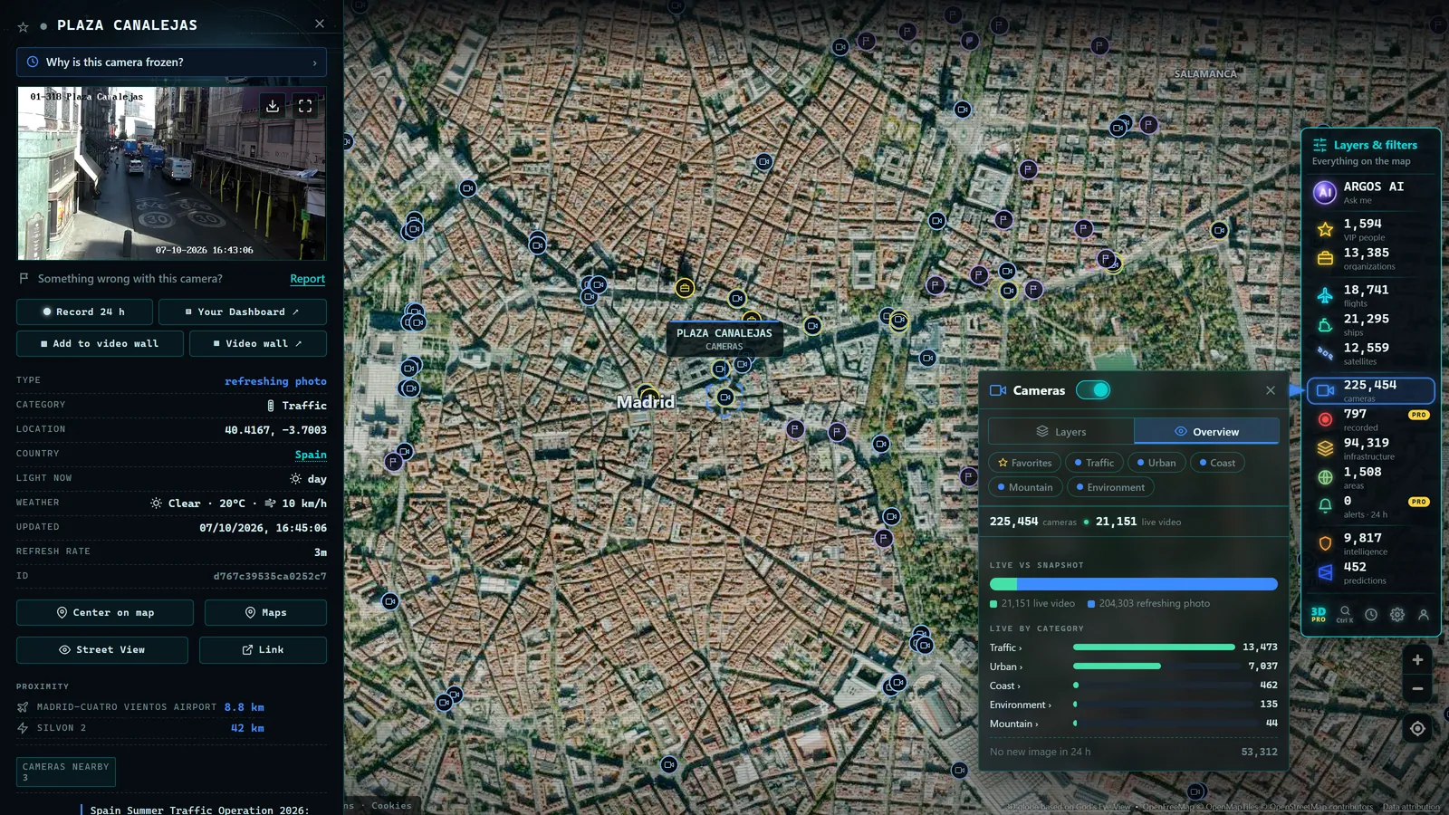
- Argos Atlas: aggregates thousands of official public traffic cameras on one worldwide map, free and with no registration.
How we selected the tools in this kit
Hundreds of utilities get labeled as OSINT. To cut through the noise, this kit applies four strict criteria:
- Genuinely free: the unpaid tier must be workable in practice, not just a showcase for the premium version.
- Browser-accessible wherever possible, with no obscure installs or server configurations.
- Maintained and established: live projects used by journalists and analysts worldwide, not abandoned experiments.
- No mandatory registration when that option exists, because in OSINT it pays to leave as little trace of yourself as possible.
No tool does the work for you. Every one of these is a magnifying glass, it amplifies what you already know how to look at. With that understood, let us go category by category.
Reverse image search: the starting point
If you could keep only one category, this would be it. Reverse image search answers the most frequent question in verification: is this image new, or has it been circulating for years with a different context?
Google Lens is the most convenient option: it recognizes objects, text, and places, and usually finds the page where a photo first appeared. Yandex Images is surprisingly powerful for faces, buildings, and landscapes, and regularly finds matches that other search engines miss. TinEye offers something different: it sorts results by date, allowing you to identify the earliest known appearance of an image, a key data point for debunking recycled content.
The correct method is to use all three. Each has its own index and its own blind spots. What one misses, another will often catch.
From the ARGOS ATLAS channel.
Maps, satellite imagery, and geolocation
When the question is "where was this taken?", you need to compare the image against real terrain. Google Earth is the standard reference: worldwide satellite view, 3D relief in many areas, and historical imagery that lets you see how a place has changed over the years. That rewind-in-time feature is invaluable for checking whether a building existed on a particular date.
For recent, freely accessible satellite imagery, the open earth observation programs (Sentinel from the European Space Agency and Landsat from the US Geological Survey) publish regularly updated scenes of the entire planet. Resolution will not let you count individual cars, but it will show wildfires, floods, infrastructure changes, and port activity.
There is also a small but brilliant tool for a very specific problem: SunCalc calculates the position of the sun at any place and time. By analyzing the direction and length of shadows in a photograph, you can estimate when it was taken, or rule out that it was taken when someone claims. The full process, step by step, is in how to geolocate a photo.
Metadata: what the file tells about itself
Every photo or video carries embedded information: camera model, capture date, editing software, and sometimes GPS coordinates. ExifTool is the standard for reading it. It is a command-line utility, but basic use amounts to dragging a file and reading the output, no programming required.
Two honest caveats. First: most social media platforms strip metadata when a file is uploaded, so this technique works best on original files received directly. Second: metadata can be falsified. Treat it as a clue that should fit with the rest of the evidence, never as standalone proof.
Web archiving: preserving the evidence
Pages get edited, posts get deleted, and accounts disappear. The Wayback Machine from the Internet Archive stores copies of billions of pages and lets you see what a website looked like on any past date. It also lets you request an on-demand snapshot of a URL, something you should do with any relevant content before its author can remove it.
A professional rule: archive first, analyze afterward. The source you did not archive is the one that will be gone tomorrow.
Video verification
Video is the hardest format to verify manually: you cannot run a reverse image search on an entire clip. Browser plugins such as InVID/WeVerify, developed through European counter-disinformation projects, solve this by splitting a video into key frames for individual reverse searches, while also streamlining metadata reading and detail magnification. They install as browser extensions and are the de facto standard in professional fact-checking newsrooms.
Moving vehicles: flights and ships
Two categories that may sound exotic but are essential in any serious OSINT kit.
ADS-B-based flight trackers display on a map every aircraft broadcasting its position by radio, with its identifier, origin, destination, altitude, and speed. The signal is open by design and is picked up by networks of receivers operated by enthusiasts around the world. They let you confirm whether a flight existed, what route it took, and what aircraft was over a given area at a particular time.
AIS vessel trackers do the same at sea: ships above a certain tonnage are required by the IMO's SOLAS convention to broadcast their position, and open viewers paint it on a map with heading and speed. Indispensable for any story involving ports, shipping lanes, or maritime incidents.
Live public cameras: seeing the location right now
The final piece of the kit answers a question that none of the other tools can: what does that location look like at this exact moment? Thousands of official bodies (national road agencies such as US state DOTs, the UK's National Highways, France's ASFA, Germany's BASt, and many others) publish open camera feeds, but they are scattered across hundreds of separate websites.
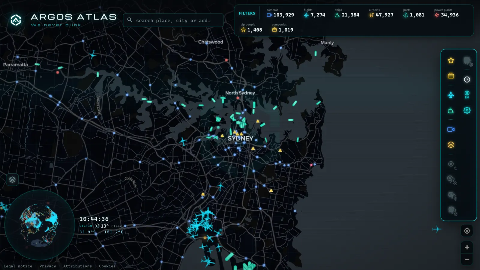
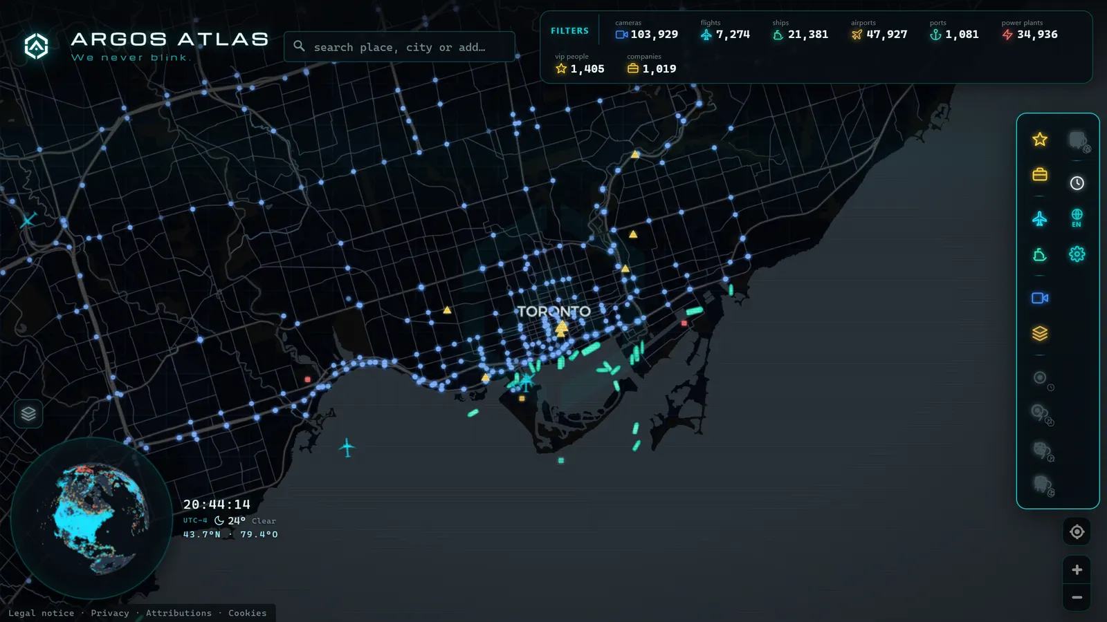
Aggregator platforms solve that fragmentation. Argos Atlas, for example, brings together thousands of official public traffic cameras, geolocated on a single worldwide map, free and without registration, always citing the original source. For a verifier, this turns hours of searching into a couple of clicks: find the area, open the nearby cameras, and check actual ground conditions, current weather, traffic density, the state of a road or port.
A real workflow: verifying a port fire photo
Suppose a photo is circulating showing an alleged fire at a Mediterranean port, dated "this morning." Here is how you would chain the kit:
- Reverse image search in Google Lens, Yandex, and TinEye. If the photo turns up from two years ago, the case is closed: it is recycled content.
- If it is new, geolocation: cranes, silos, the shape of the breakwater. Compare with Google Earth satellite view until you confirm which port it is.
- Time check: use SunCalc to see whether the shadows in the photo match "this morning" at that location. If you have the original file, read the metadata with ExifTool.
- Live confirmation: open the public cameras and vessel trackers for the area. Is there smoke visible? Have ships altered their routes, or is there unusual activity at the anchorage?
- Archive every finding to the Wayback Machine before publishing anything.
Five steps, zero cost, and a conclusion you can defend with evidence rather than intuition.
Three working habits that will save you from mistakes
The tools are the easy part. Method is what separates a serious investigation from a chain of assumptions.
Work in a clean environment. Use a separate browser profile for investigations, with none of your personal sessions open. This prevents your history from contaminating results and reduces the trace you leave behind.
Document everything as you go. Screenshots with visible timestamps, exact URLs, archived copies. Your memory is not a source; your record is.
Guard against confirmation bias. It is the error that ruins more investigations than any other: searching only for evidence that confirms your hypothesis. Force yourself to ask the opposite question ("what would prove this wrong?") and pursue it with the same energy.
Frequently asked questions
What is the best OSINT tool to start with?
Reverse image search, without question. It is free, runs in any browser, and resolves the most common uncertainty in verification: whether an image is actually what it claims to be. Start by combining Google Lens, Yandex Images, and TinEye; when you are comfortable with those, add a satellite viewer and the Wayback Machine. With those three pillars you can verify the majority of content that circulates on social networks.
Do I need to know how to code?
No. Every tool in this guide works from a browser or, in the case of ExifTool, with usage so basic it requires no technical background. Coding is useful further down the line, when you want to automate repetitive tasks or handle large datasets, but the heart of OSINT is something else: patient observation, rigorous method, and the judgment to distinguish evidence from coincidence.
Is using these tools legal?
Consulting deliberately public information is, in general, legal. The complications arise with what you do with it afterward. Personal data remains subject to privacy law even when publicly posted. Accessing systems without authorization is intrusion, not OSINT. And exposing or harassing private individuals can carry legal consequences regardless of whether each individual piece of data was technically accessible. Before publishing results, it is worth reviewing the legal and ethical limits of OSINT, because the line between investigating and violating rights is thinner than it looks.
Are there free alternatives to paid tools?
For almost any beginner-level need, yes. Open space programs like Sentinel and Landsat provide satellite imagery at no cost. Flight radars and AIS vessel trackers have free tiers that are fully functional for investigation purposes. Public camera aggregators like Argos Atlas are free and require no registration. What paid versions typically sell is deep historical data, automated alerts, and high query volumes, conveniences for full-time professionals, not requirements for learning the craft.
Conclusion
A solid free OSINT toolkit fits in a bookmarks bar: three reverse image search engines, a satellite globe, a shadow calculator, a metadata reader, a web archive, a video verification plugin, a flight tracker, a vessel tracker, and a public camera atlas. With those tools (and with method) you can verify what most people share without looking.
The best way to learn is to practice on small cases: a photo of your city, a flight passing over your neighborhood, a ship entering a port. And for that practice, few starting points are as direct as opening the map and beginning to explore what open sources are showing right now, live, about the real world.
Frequently asked questions
What is the best OSINT tool to start with?
Reverse image search. It is free, requires no technical knowledge, and answers the most common question in any verification: whether a photo is actually what it claims to be. Start by combining Google Lens, Yandex Images, and TinEye. Once you have those down, add a satellite map viewer and a web archiving tool. Those three pillars will let you verify most of what circulates on social media.
Do I need to know how to code?
No. Every tool in this kit works from a browser, or in the case of ExifTool, with basic commands that require no programming background. Coding becomes useful later when you want to automate repetitive tasks or process large volumes of data, but the core of OSINT is something else entirely: patient observation, rigorous method, and the judgment to tell genuine evidence from coincidence.
Is using these tools legal?
Consulting deliberately public sources is generally legal. What matters is what you do with the information afterward: personal data remains protected by privacy law even when publicly posted, accessing systems without authorization is not OSINT but intrusion, and exposing or harassing private individuals can carry legal consequences regardless of whether each data point was technically accessible. Read up on the legal and ethical limits before publishing anything.
Are there free alternatives to paid tools?
For almost everything at the beginner level, yes. Open space programs like Sentinel and Landsat offer free satellite imagery. Flight radars and AIS vessel trackers have fully functional free tiers. Public camera aggregators like Argos Atlas are free and require no registration. What paid versions typically add is historical depth, bulk queries, and alerts, conveniences for professionals, not requirements for learning.
- The Ethics of OSINT: What Is Legal to Investigate with Open Sources
- How to Get Started With OSINT: Beginner's Guide & Free Tools
- OSINT Examples: 8 Techniques You Can Try Today
- Ukraine War Map, Live: Front Lines and Black Sea Ships
- Area 51 Live Map: What Open Sources Really Show Over Groom Lake
- Kyiv Live Map: Closed Airspace, Live Grid, 90 Days of Events