Blog · Traffic cameras
Live Traffic Cameras in Bogota, Colombia: IDU, Movilidad, TransMilenio and Pico y Placa
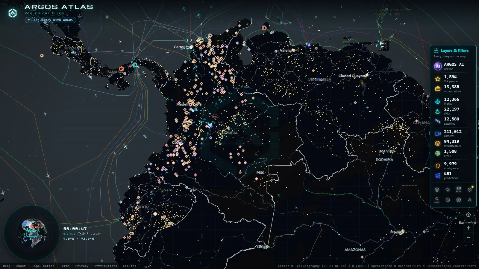
Bogota is one of the most congested metropolitan areas in Latin America. With nearly nine million residents packed into a high-altitude plateau that funnels most daily movement along a north-south corridor, managing traffic in Colombia's capital requires a sophisticated network of cameras, sensors and control centers operating around the clock. Understanding how that system works (and how to access it) is valuable for drivers, urban planners, researchers and anyone tracking the city remotely.
The IDU Camera Network
The Instituto de Desarrollo Urbano (IDU) is the public body responsible for Bogota's road infrastructure: carriageways, bridges, intersections and construction projects. Its visual monitoring system covers the city's main arterials, with fixed cameras positioned at high-demand intersections and at active construction zones.
IDU cameras serve a dual purpose: inspecting pavement and signage conditions, and recording traffic incidents in real time so that the Traffic Police and the Mobility Management Center can coordinate rapid responses. The feeds are integrated into the Traffic Control Center operated by the Secretaría de Movilidad.
Geographic coverage
The highest density of IDU cameras is concentrated along:
- Calle 26 (Avenida El Dorado): the strategic corridor between the city center and El Dorado International Airport. It carries the heaviest heavy-goods traffic and connects to the TransMilenio trunk line.
- Autopista Norte (Carrera 45): from Calle 100 to the Chía municipal boundary. Both-direction flow monitoring with incident detection during peak hours.
- Avenida Boyacá (Carrera 72): a perimeter road linking the south and north without crossing downtown. Cameras at intersections with local streets.
- Avenida Caracas: the backbone of TransMilenio's original trunk. Monitoring combined with average-speed sensors for articulated buses.
Secretaría de Movilidad: The Command Center
The Secretaría Distrital de Movilidad operates Bogota's Traffic Control Center (CCT), which centralizes data from IDU cameras, smart traffic lights and GPS speed probes installed on the TransMilenio fleet and on regulated taxis.
From the CCT, operators manage traffic light cycles in real time. When an accident blocks Calle 80 or a protest closes Plaza de Bolívar, they manually adjust green-light timing at adjacent intersections to redistribute flow before gridlock sets in.
"In Bogota, the difference between a normal Tuesday and one with a national football match can be forty minutes on the same commute. The camera system allows us to anticipate those peaks before they turn into chaos.", CCT operator, public Secretaría de Movilidad interview.
The Secretaría's citizen portal publishes traffic alerts, scheduled closures and the current pico y placa restriction schedule. It is the authoritative reference point for trip planning in the capital.
TransMilenio: Colombia's Most-Watched BRT Corridor
Carrying more than 2.4 million passengers per day, the TransMilenio Bus Rapid Transit (BRT) system is the most heavily used in Latin America. Its trunk lines run the length of Bogota's main arterials (Caracas, NQS, Calle 80, Américas, Suba, El Dorado, Norte) operating articulated and bi-articulated buses supervised from the TransMilenio Control Center.
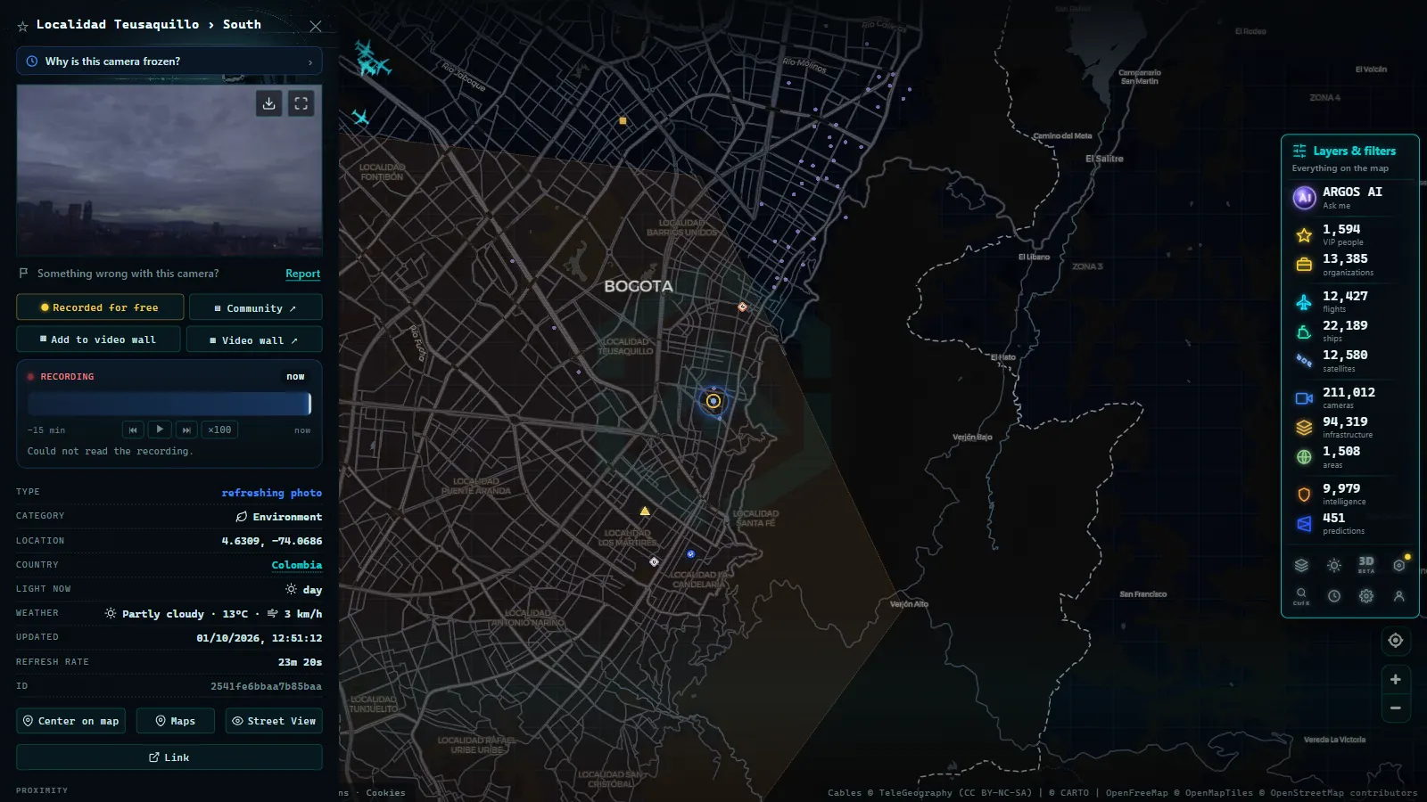
Cameras at TransMilenio stations serve a different function from IDU cameras: they monitor platform occupancy and bus punctuality rather than mixed traffic. However, at major portal stations (Portal del Norte, Portal del Sur, Héroes) the adjacent road corridors are visible in the same camera feeds, making them useful reference points for assessing real-time traffic conditions on surrounding arterials.
Critical hours on BRT corridors
TransMilenio trunk lines concentrate the highest vehicle volumes between 06:00–09:00 and 17:00–20:00. During those windows, articulated bus speeds on some trunk lines fall below 20 km/h, triggering dynamic traffic light management protocols to prioritize bus flow.
From the ARGOS ATLAS channel.
Pico y Placa: The Restriction That Reshapes the Map Every Week
Pico y placa is Bogota's best-known vehicle regulation measure. It restricts private car circulation during peak hours based on the last digit of the license plate:
- Morning restriction: generally 06:00 to 09:00.
- Afternoon restriction: generally 15:00 or 16:00 to 19:00.
The restricted digits rotate weekly. The current schedule can be checked on the Secretaría de Movilidad portal; it changes periodically by district decree, and there are special days (public holidays, high-flow weeks) when the restriction expands or is suspended entirely.
The measure has a measurable effect on what traffic cameras actually show. On high-restriction days (when multiple plate digits are banned) vehicle volume on Autopista Norte or Calle 26 can drop by up to 15 percent compared to an unrestricted day. That shift is clearly visible in the feeds from cameras installed on those corridors.
Exemptions from pico y placa
Not all vehicles are subject to the restriction. Among the exemptions:
- Licensed taxis with valid operating permits.
- Emergency vehicles.
- Certified electric and hybrid vehicles.
- Licensed school transport.
- Motorcycles (which operate under a separate pico y placa schedule with different plate digits and calendar).
Ciclovía and Ciclorrutas: Active Mobility Under the Camera Lens
Bogota has one of the world's most recognized ciclovía networks. Every Sunday and on public holidays, more than 127 kilometers of road are closed to motor vehicles for the exclusive use of cyclists, skaters and pedestrians. This is the recreational Ciclovía, which has operated since 1974 and has become an internationally cited model for urban active mobility.
In addition, the city maintains a permanent ciclorruta network (segregated bicycle lanes) that extends beyond 550 kilometers. Cameras installed on avenues adjacent to these corridors capture both mixed vehicle flow and crossing points between cyclists and cars, which are zones with higher frequency of minor incidents.
Sunday Ciclovía: impact on motorized traffic
On Ciclovía Sundays, lane restrictions redirect motor traffic toward parallel roads. Cameras on Carrera 7, Carrera 11 and Avenida Caracas show flow patterns entirely different from workdays. Comparing the feeds on a regular weekday versus a Ciclovía Sunday is one of the clearest demonstrations of how a single policy instrument can transform the visual character of a city's streets.
Monitoring Bogota Traffic with ARGOS ATLAS
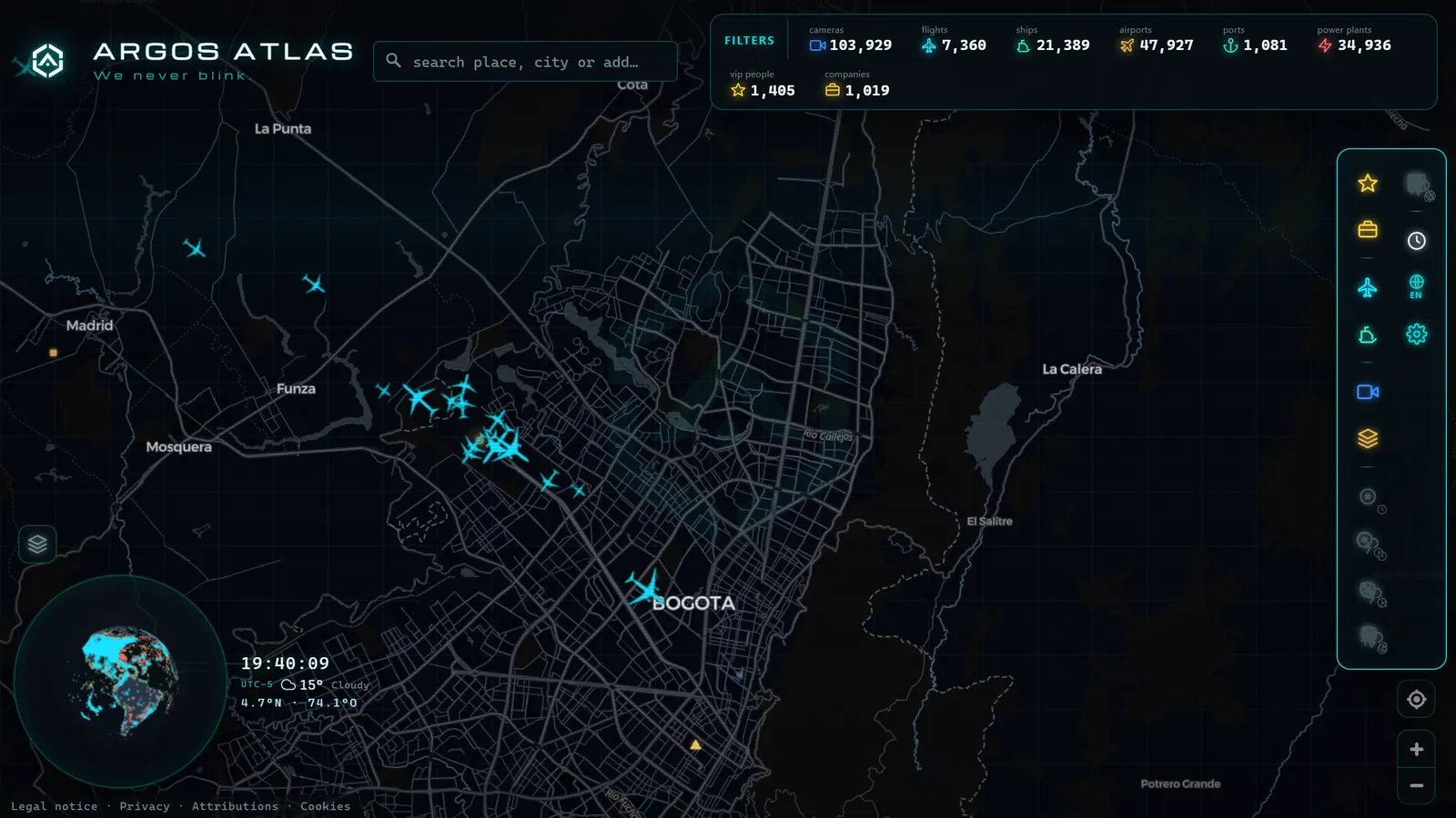
ARGOS ATLAS integrates public camera sources from cities around the world, including Colombia. Through the interactive map you can explore the geographic locations of available cameras, overlay them with other data layers (live flights, critical infrastructure, ship traffic, mobility data) and build an integrated picture of what is happening in Bogota at any given moment.
For drivers planning trips in the Colombian capital, combining the official Secretaría de Movilidad feeds with the camera view in ARGOS ATLAS provides broader context than either source alone. You can, for instance, check whether high passenger-volume flights are arriving at El Dorado (which generates traffic spikes on Calle 26) while simultaneously reviewing the status of TransMilenio corridors on the same map. That cross-layer visibility is what makes ARGOS ATLAS useful beyond any single camera portal.
Official Resources for Monitoring Bogota Traffic
If you want to go directly to the authoritative sources:
- Secretaría de Movilidad de Bogotá: official portal with alerts, current pico y placa rules and selected camera feeds.
- IDU (Instituto de Desarrollo Urbano): active construction zones and scheduled closures.
- TransMilenio S.A.: trunk line operational status, passenger portal and official app.
- Waze and Google Maps: both integrate CCT data for real-time journey times.
- ARGOS ATLAS: global view with cameras, flights, ships and infrastructure integrated on a single live map.
Bogota is not an easy city to navigate. But with the right tools (and an understanding of how its monitoring system works) it is possible to anticipate bottlenecks, respect current restrictions and move more efficiently through one of South America's most complex metropolitan environments.
Explore more on traffic monitoring in our section on traffic cameras across Latin America and discover how other cities manage mobility in real time.
Frequently asked questions
Where can I watch Bogota traffic cameras live?
The official sources are the Secretaría de Movilidad portal and the IDU monitoring center. You can also explore public cameras across the city using ARGOS ATLAS, which integrates multiple live feeds on an interactive map.
What is pico y placa and how does it affect traffic in Bogota?
Pico y placa is a vehicle circulation restriction that bans cars from road corridors during peak hours based on the last digit of their license plate. It reduces vehicle volume on key corridors and improves average speeds for TransMilenio articulated buses.
Do ciclovía routes appear in Bogota's traffic cameras?
IDU cameras cover several avenue segments where the Sunday ciclovía and the permanent ciclorruta network operate. In ARGOS ATLAS you can combine that camera view with the mobility map layer to see both road and cycling corridors at once.
- Santiago Traffic Cameras: Local Traffic Updates Live from Chile
- Live Traffic Lima, Peru: Watch Real-Time Cameras Now
- Traffic Cameras in Ecuador: Quito, Guayaquil and the Troncal de la Sierra Highway
- Caracas Traffic Cameras Live: Francisco Fajardo & Caminante
- Traffic Cameras in Uruguay and Montevideo: A Complete Guide
- Traffic Cameras in Costa Rica: COSEVI, Route 27 and the Country's Most Monitored Roads