Blog · Traffic cameras
Live Traffic Lima, Peru: Watch Real-Time Cameras Now
Lima is one of South America's most congested metropolitan areas. With more than ten million people in the greater urban zone and a registered vehicle fleet exceeding two million units, the Peruvian capital faces mobility challenges that no single traffic light or navigation app can resolve alone. Real-time road monitoring, sustained by an expanding network of traffic cameras, has become the operational backbone of how the city manages itself day to day.
The essentials, in 20 seconds
- 10+ million people: live in Lima's greater urban zone, with a registered vehicle fleet of more than two million units.
- Centro de Control de Tráfico: the Municipality's hub in Miraflores supervises signals and cameras on Javier Prado, La Marina, Arequipa, Universitaria and Brasil.
- ATU: created in 2019, governs the Metropolitano BRT, Metro Line 1 and the bus corridors from its own monitoring centers.
- Via Expresa Javier Prado: a roughly two kilometer tunnel run by Lamsac, handling close to 80,000 vehicle movements a day at peak hours.
- Metro Line 1: 35 kilometers and 26 stations from Villa El Salvador to San Juan de Lurigancho, watched from the control center at Grau station.
The Traffic Surveillance Ecosystem in Lima
Lima's road monitoring is distributed across several institutional and private actors. There is no single command center consolidating all footage; instead, a constellation of subsystems has gradually grown toward interoperability through digital platforms and inter-agency agreements.
Municipalidad Metropolitana de Lima (MML)
The Metropolitan Municipality of Lima operates the Centro de Control de Tráfico (CCT), located in Miraflores, where centralized traffic signals and cameras distributed across major intersections are supervised. The system covers high-circulation avenues including Javier Prado, La Marina, Arequipa, Universitaria, and Brasil.
CCT cameras serve a dual function: adjusting signal timing through adaptive demand algorithms and generating alerts for accidents, stalled vehicles, or demonstrations blocking traffic lanes. Operators can reprogram signal cycles from their terminals within seconds, a capability that becomes critical during peak hours, roughly 7:00–9:30 AM and 6:00–9:00 PM, when Lima ranks among the cities with the highest per-capita commute times in the western hemisphere.
"Lima loses billions of soles annually to gridlock. Real-time monitoring does not eliminate congestion, but it allows managing it with data rather than intuition.", Instituto de Economía y Desarrollo Empresarial, Lima Chamber of Commerce.
ATU: The Authority Connecting the System
The Autoridad de Transporte Urbano para Lima y Callao (ATU), created in 2019, absorbed the functions of the former PROTRANSPORTE and became the governing body for metropolitan public transport. Its remit covers the Metropolitano Bus Rapid Transit system, Metro Line 1, complementary bus corridors, and the gradual regularization of conventional bus routes.
Within its operational architecture, ATU maintains control centers with monitoring screens connected to cameras installed at stations, bus stops, and elevated sections. Camera feeds are cross-referenced with card validation data (Lima Pass) to estimate demand levels and anticipate saturation at key stations such as Grau, La Cultura, and Miguel Grau.
ATU also publishes punctuality and frequency indicators for its corridors on its digital platform, though live camera access remains limited for ordinary citizens. This is where tools like ARGOS ATLAS provide real value: by aggregating publicly available feeds and presenting them on a unified map, the platform lets anyone see at a glance what is happening across Lima's road network without navigating multiple institutional portals.
Via Expresa Javier Prado and Lamsac
The Via Expresa Javier Prado is one of Lima's most strategically important road corridors. Conceded to Lamsac (Línea Amarilla S.A.C.), it runs below street level along Javier Prado Este, connecting San Isidro to La Molina through approximately two kilometers of tunnel infrastructure.
Lamsac operates its own high-definition video surveillance system with cameras distributed at the highway entrances, toll plazas, tunnels, and exit ramps. These cameras monitor vehicle flow and also detect incidents: sudden braking, smoke, pedestrians who enter the highway incorrectly, or vehicles with mechanical failures. When an event is detected, the protocol activates variable signage on LED panels installed along the corridor.
During peak hours, the Via Expresa handles close to 80,000 vehicle movements per day, making it a focal point for anyone analyzing Lima's mobility data.
From the ARGOS ATLAS channel.
Metro Line 1: Cameras on the Elevated Corridor
Metro Line 1, operated by Ferrovías Central Andina, covers 35 kilometers from Villa El Salvador to San Juan de Lurigancho, traversing the city center on an elevated viaduct. Its 26 stations are equipped with surveillance systems installed on platforms, turnstile zones, and access points, all connected to the Centro de Control Operacional (CCO) at Grau station.
The metro's cameras serve a dual purpose: passenger safety and service management. CCO operators can view real-time conditions at every station, identify dangerous crowding on platforms, and coordinate with police (PNP) for any security incident. In emergency situations, the CCO can hold trains at specific stations to prevent overcrowding.
Data Integration: The Remaining Challenge
One of Lima's greatest challenges is the fragmentation of its monitoring systems. MML, ATU, Lamsac, Ferrovías, the Ministry of Transport and Communications (MTC), and the National Police (PNP) all operate subsystems with different technical standards and access levels. Full interoperability (where a single operator could view metro status, bus corridors, and highways on one screen) remains an unfinished project.
Initiatives such as the Lima Sustainable Mobility Plan to 2035 aim to create an integrated urban mobility management center, following models like Bogota's Centro de Gestión de Movilidad or Mexico City's C5i. Until that happens, open-data platforms and citizen visualization tools partially fill the gap.
How ARGOS ATLAS Displays Lima's Traffic
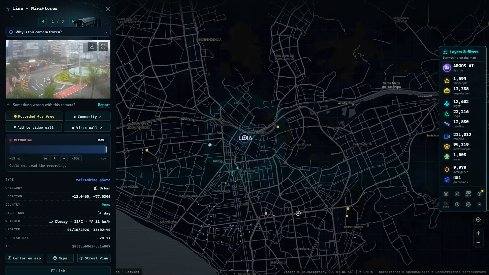
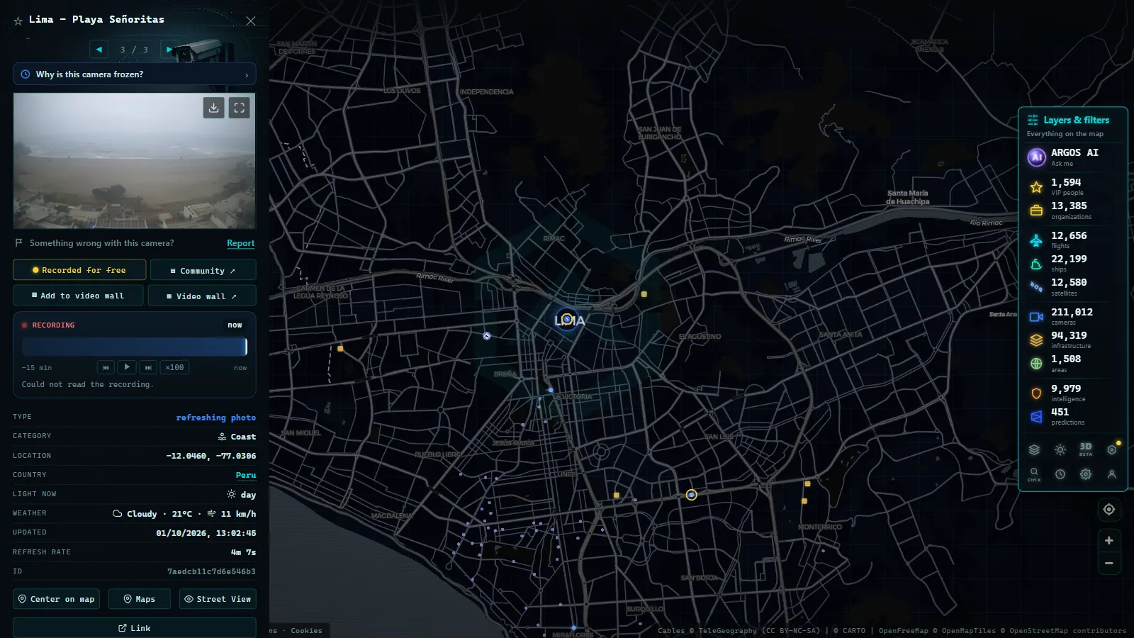
ARGOS ATLAS aggregates available public cameras in Lima onto an interactive map alongside data on flights, ships, infrastructure, and geolocated news. For users wanting to understand the city from a data perspective, the tool enables:
- Viewing the georeferenced location of active cameras across different points in Lima.
- Simultaneously comparing road conditions on multiple corridors.
- Cross-referencing traffic information with other real-time events, such as flights landing at Jorge Chavez Airport or maritime activity at Callao port.
ARGOS ATLAS is built around informational transparency: it does not replace official systems but makes them accessible to anyone with an internet connection, without requiring access to scattered institutional portals.
Congestion Patterns in Lima: What the Data Shows
Analysis of camera feeds over time reveals predictable but difficult-to-manage patterns. Lima has structural congestion that depends not only on vehicle volume but on urban geometry: the city grew without planning in many peripheral districts, with narrow streets that funnel traffic onto a few main arteries.
The most monitored corridors (Panamericana Norte, Panamericana Sur, La Marina, and Javier Prado) are also the most saturated. The hourly distribution of congestion shows two distinct peaks that persist even on minor public holidays.
The Role of Cameras in Incident Response
When an accident occurs on the Via Expresa or the Panamericana, the response time of road assistance teams depends directly on camera coverage density. An incident detected within two minutes of occurrence can be cleared before the queue reaches two kilometers; one detected twelve minutes later has already generated a congestion cascade that will take hours to dissipate.
This reality turns camera coverage density into a public policy variable, not merely a security one: more cameras, under normal conditions, translate to shorter response times and lower economic impact from road incidents.
Toward a More Transparent and Monitorable Lima
The global trend among cities leading mobility management (Singapore, Amsterdam, Bogota) points toward systems where citizens have real-time access to the same information as operators. Lima is moving in that direction, though at an uneven pace depending on the corridor and the operator involved.
While institutional integration matures, tools like ARGOS ATLAS fill that space with aggregated data, accessible visualization, and a geospatial perspective that transforms raw numbers into genuine understanding of the city. Seeing Lima from above (with its active cameras, metro routes, and congested corridors all visible at once) is already possible from any browser.
Frequently asked questions
Where can I watch Lima's traffic cameras live?
You can watch Lima's traffic cameras in real time on ARGOS ATLAS, which aggregates public feeds from the Municipalidad Metropolitana de Lima and other road operators into a single interactive map.
What is ATU and how does it monitor Lima's traffic?
The Autoridad de Transporte Urbano (ATU) is the authority that regulates and supervises public transport in Lima and Callao. It manages the Metropolitano BRT, Metro Line 1, and complementary corridors, with control centers that process passenger flow and travel-time data from cameras and validators.
Does the Via Expresa in Lima have traffic surveillance cameras?
Yes. The Via Expresa Javier Prado and the Metro Line 1 elevated corridor are equipped with HD cameras operated by concessionaire Lamsac and ATU to monitor vehicle flow and ensure passenger safety.
- Traffic Cameras in Ecuador: Quito, Guayaquil and the Troncal de la Sierra Highway
- Caracas Traffic Cameras Live: Francisco Fajardo & Caminante
- Traffic Cameras in Uruguay and Montevideo: A Complete Guide
- Traffic Cameras in Costa Rica: COSEVI, Route 27 and the Country's Most Monitored Roads
- Live Traffic Cameras in Medellin: Metro, Mountain Autopistas and Aerial Cable Cars
- Live Traffic Cameras in France: Bison Futé, SANEF, APRR and the Major Motorways