Blog · Traffic cameras
Live Traffic Cameras in Buenos Aires: Urban Autopistas, Metrobus, and the North-South Corridor
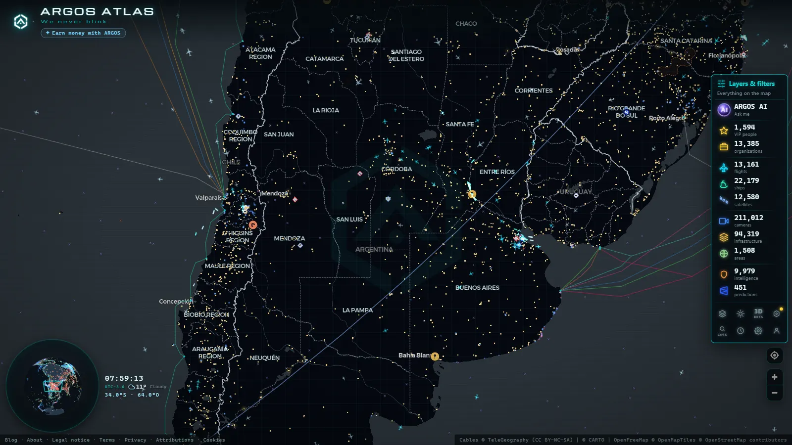
Buenos Aires is among the most traffic-dense cities in Latin America. With more than three million residents within city limits and roughly fifteen million across the greater metropolitan area, the flow of vehicles across its expressways, arterial avenues, and rapid-transit corridors never truly stops. The city's traffic surveillance infrastructure is extensive, well-funded, and (in many cases) publicly accessible. This article breaks down how Buenos Aires monitors its roads in real time, which corridors are covered, and how tools like ARGOS ATLAS make that data easier to explore.
BA Ciudad's Urban Monitoring Centre
The Autonomous City of Buenos Aires Government runs one of the most comprehensive traffic monitoring networks in the region. Its Urban Monitoring Centre (CMU) operates around the clock, overseeing more than a thousand camera nodes distributed across the city. Coverage priorities include:
- High-conflict intersections: junctions such as Corrientes and Callao, Santa Fe and Pueyrredón, and Rivadavia and Acoyte, where pedestrian and vehicle volumes demand constant attention.
- City access points: the General Paz ring road and the northern (Panamericana), western, and southern expressway entrances from Buenos Aires Province.
- Commercial and tourist zones: the microcentro, Puerto Madero, Palermo, and Belgrano benefit from elevated camera density due to mixed traffic and tourist footfall.
The city's open data portal publishes metadata on many camera locations, and ARGOS ATLAS integrates these sources so users can explore them on a unified geospatial map without navigating multiple official portals separately.
"Real-time urban traffic monitoring is not just a logistics tool, it is a core component of road safety and emergency response in a city the size of Buenos Aires."
The technology behind the network
The CMU deploys PTZ (pan-tilt-zoom) cameras at the most critical nodes, capable of rotating 360 degrees and zooming in on specific incidents. Fixed cameras with night-vision capability handle secondary intersections. The entire network feeds into the traffic management system operated by the city's Ministry of Mobility and Transport, which coordinates signal timing through the SCOOT (Split Cycle Offset Optimisation Technique) adaptive algorithm.
Autopistas Urbanas S.A. (AUSA): the expressway camera grid
Buenos Aires's urban expressways are conceded to Autopistas Urbanas S.A. (AUSA), a public company managing the city's main toll expressways:
- Autopista 25 de Mayo (AU1): links the microcentro with the west and with Ezeiza International Airport.
- Autopista Perito Moreno (AU6): south-west connector running through the city's middle band.
- Autopista Illia (AU9): the northern coastal expressway leading toward Jorge Newbery Airport (Aeroparque).
- Autopista Lugones: a riverside artery along the northern waterfront.
- Autopista Dellepiane: southern access to the Ricchieri expressway and the province.
AUSA maintains its own camera network at regular intervals along these routes. The system serves dual purposes: managing electronic toll collection and detecting traffic incidents. Some stretches stream publicly through AUSA's official website, although availability varies by corridor and time of day.
Incident detection and congestion alerts
One of the most valued functions of AUSA's camera grid is early detection of accidents, stalled vehicles on the roadway, and adverse weather conditions, most notably the dense river fog that rolls in from the Río de la Plata and sharply reduces visibility along the Lugones and Illia expressways. Response times for roadside assistance teams depend heavily on continuous camera monitoring.
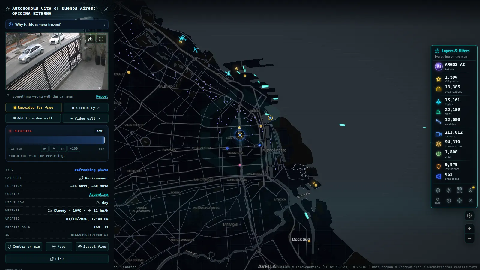
Metrobus Corridors: cameras on Buenos Aires's busiest avenues
The Metrobus system is a bus rapid transit (BRT) network operating along dedicated lanes on the city's main arterial roads. Each corridor is equipped with cameras integrated into the CMU's broader monitoring framework.
Metrobus 9 de Julio, the north-south corridor
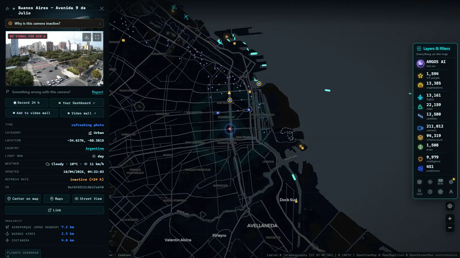
The north-south corridor on Avenida 9 de Julio is the city's most iconic transit artery. Stretching more than four kilometres with 22 stations, it runs through the heart of Buenos Aires from Constitución in the south to the edge of Retiro in the north. Cameras here track bus frequency and punctuality, pedestrian flow at stations, and the parallel vehicle lanes that run alongside, providing a comprehensive view of the busiest urban corridor in Argentina.
Metrobus Juan B. Justo, the east-west spine
The corridor along Avenida Juan B. Justo cuts through Palermo and Villa del Parque, connecting high-traffic nodes including the Pulgas market area and the Once railway hub. Camera feeds on this route are particularly useful for tracking the interaction between the dedicated bus lane and general traffic during peak hours.
Metrobus Sur, southern corridors
The southern Metrobus lines cover Barracas, Pompeya, and La Boca, neighbourhoods historically burdened by heavy truck traffic heading to and from the Port of Buenos Aires and the Riachuelo industrial zone. Camera monitoring here intersects with freight and logistics flows that affect the entire southern urban grid.
From the ARGOS ATLAS channel.
Using ARGOS ATLAS to monitor Buenos Aires traffic
ARGOS ATLAS is a geospatial visualisation platform that consolidates real-time data from multiple sources (traffic cameras, flights, ships, critical infrastructure, and more) into a single interactive map. For Buenos Aires, it is especially useful because:
- It aggregates camera feeds from multiple sources into one interface, eliminating the need to switch between the BA Ciudad portal, the AUSA site, and other platforms.
- Geographic filtering lets users focus on a specific expressway, neighbourhood, or transit corridor rather than scrolling through an undifferentiated list.
- Cross-layer context: users can simultaneously view expressway camera feeds and incoming flight data for Aeroparque, which helps anticipate taxi and ride-share congestion spikes near the airport.
To get started, open ARGOS ATLAS, activate the camera layer, and navigate to Buenos Aires. Available cameras appear as map markers; clicking one opens the live feed where the source permits it.
Traffic patterns and critical hours in Buenos Aires
Understanding when congestion peaks is as valuable as having camera access. Buenos Aires follows relatively predictable daily rhythms:
- Morning peak (7:00–9:30): inbound flows from all expressway access points toward the microcentro. The Autopista 25 de Mayo and the Illia are the most frequent bottlenecks.
- Midday lull (12:30–14:00): moderate overall flow, with localised peaks in commercial areas.
- Evening peak (17:30–20:00): the worst of the day. Av. Corrientes, the 9 de Julio, and all city access roads log delays exceeding 30 minutes on weekdays. Camera monitoring during this window is especially useful for identifying alternative routes in real time.
Weather adds another variable. Summer thunderstorms can flood underpasses and bring expressway traffic to a standstill within minutes; winter fog from the river reduces visibility to near zero on coastal arteries. Live camera access during these events is far more informative than any static map or estimated travel time.
Buenos Aires in a regional context
Buenos Aires leads Argentina in traffic monitoring infrastructure by a wide margin, but cities like Córdoba, Rosario, and Mendoza have been expanding their own networks in recent years. At the regional level, Buenos Aires compares favourably with other major Latin American capitals in terms of camera density and open-data availability, though Mexico City and Bogotá have invested more heavily in fully integrated traffic management platforms. You can explore how Bogotá handles its own surveillance network in our article on traffic cameras in Bogotá for a useful regional comparison.
The transparency of the BA Ciudad open data portal also sets it apart: camera coordinates, feed URLs, and operational status data are published and updated regularly, making third-party integration (like that offered by ARGOS ATLAS) straightforward and reliable.
Conclusion
Buenos Aires operates one of Latin America's most extensive traffic camera networks, spanning city-government nodes, AUSA expressway feeds, and Metrobus corridor monitoring. Whether you need to check conditions on the 25 de Mayo before commuting, track the north-south corridor during rush hour, or simply understand how a major South American metropolis manages its road network, the infrastructure is there, and ARGOS ATLAS makes navigating it easier than ever.
Frequently asked questions
Where can I watch Buenos Aires traffic cameras live?
You can access them through the BA Ciudad government portal, the AUSA expressway platform, and tools like ARGOS ATLAS, which aggregate multiple public camera sources into a single interactive map.
How many traffic cameras does Buenos Aires have?
The Buenos Aires City Government operates over 1,000 cameras at key intersections, expressways, and Metrobus corridors, with the densest coverage in the central business district and the north-south corridor.
Do Metrobus cameras stream in real time?
Yes. Cameras installed along Metrobus corridors, including the flagship north-south line on Av. 9 de Julio, stream in real time as part of the BA Ciudad Urban Monitoring Centre network.
- Live Traffic Cameras in Bogota, Colombia: IDU, Movilidad, TransMilenio and Pico y Placa
- Santiago Traffic Cameras: Local Traffic Updates Live from Chile
- Live Traffic Lima, Peru: Watch Real-Time Cameras Now
- Traffic Cameras in Ecuador: Quito, Guayaquil and the Troncal de la Sierra Highway
- Caracas Traffic Cameras Live: Francisco Fajardo & Caminante
- Traffic Cameras in Uruguay and Montevideo: A Complete Guide