Blog · Traffic cameras
Live Traffic Mexico City: 15,000+ CDMX Cameras In Real Time
The essentials, in 20 seconds
- 15,000+ devices: Mexico City's traffic camera network spans multiple systems, one of the densest in Latin America.
- C5: the Centro de Comando, Control, Cómputo, Comunicaciones y Contacto Ciudadano, established in 2012, integrates feeds from public and private sources.
- Anillo Periferico: over 100 kilometers long, its chronic bottlenecks can add 45 to 90 minutes to a five-kilometer trip.
- 15% to 25%: independent estimates of the share of cameras offline at any given moment.
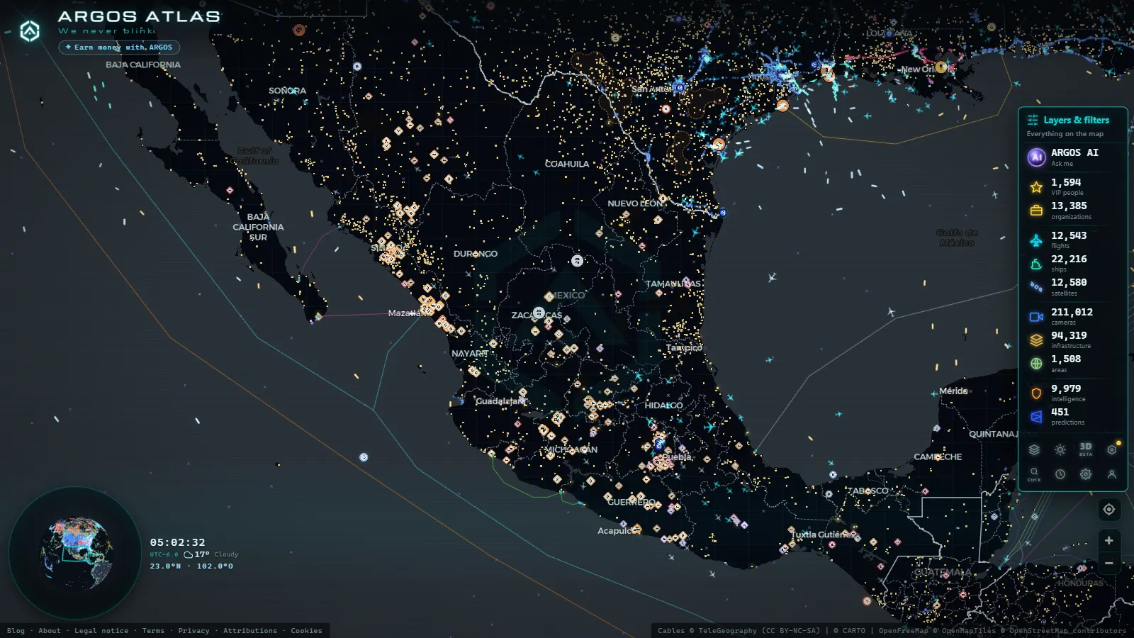
- ARGOS ATLAS: aggregates public CDMX traffic cameras into a live global map alongside flights, ships and infrastructure.
A city that never stops moving
By any metric you choose, Mexico City ranks among the most dynamic and logistically complex urban environments on Earth. With more than 21 million people in the greater metropolitan area, a vehicle fleet exceeding six million units, and a road network stretching across thousands of kilometers, the CDMX faces one of the most demanding mobility challenges in the Western Hemisphere. The institutional response to that complexity has a precise technical name: large-scale traffic video surveillance.
Today, Mexico City operates one of the densest traffic camera networks in Latin America, with more than 15,000 devices integrated across multiple systems ranging from the central government to private highway concessionaires. Understanding how that infrastructure works, who operates it, and how it can be accessed in real time is increasingly relevant for residents, journalists, urban mobility researchers, and anyone trying to navigate the metropolis intelligently.
The C5: the brain that sees everything
At the heart of the capital's surveillance network sits the Centro de Comando, Control, Cómputo, Comunicaciones y Contacto Ciudadano, universally known as the C5. Established in 2012 and progressively expanded, the C5 acts as the central node integrating video feeds from multiple sources: its own cameras, inputs from the Secretariat of Citizen Security, SEMOVI imagery, and signals from concession-operated urban highways.
The main facility, located in the Iztapalapa borough, houses a monitor room that displays real-time footage from thousands of critical points across the city. From there, operators coordinate responses to accidents, detect roadblocks, and generate information for the traffic management systems that power dynamic signage on select corridors.
"The C5 is not merely a room full of screens, it is the operational intelligence backbone of the city, a system that connects public safety, mobility management, and emergency response at a single command point."
The C5 also receives citizen reports through its contact number and mobile applications, effectively turning residents into decentralized sensors that complement the physical camera network. This hybrid approach (machine vision plus crowd intelligence) is what makes the system more responsive than a purely hardware-driven architecture would be.
From the ARGOS ATLAS channel.
SEMOVI and intelligent traffic management
The Secretaría de Movilidad (SEMOVI) is the body that translates camera data into mobility policy. Its real-time traffic portal has long served as the official reference for drivers wanting to anticipate bottlenecks before leaving home.
SEMOVI manages a set of cameras oriented specifically toward vehicular flow analysis: vehicle counting, average speed detection, incident identification, and generation of road saturation indices. These data points feed both the city's official traffic app and data-sharing agreements with navigation platforms such as Waze and Google Maps, which in turn return user-generated traffic data to the system, creating a bidirectional intelligence loop.
Integration with public transit
One of SEMOVI's distinctive features is its multimodal focus. The cameras do not only register private cars, they monitor dedicated Metrobus lanes, bus stop zones, and major intersections where licensed public transport generates friction with general traffic. This integrated perspective allows, at least in theory, for the city's mobility to be managed systemically rather than treating each road as an isolated problem to be solved independently.
The Periferico: the ring road that defines the metropolitan rhythm
If there is one road that encapsulates the daily drama of mobility in the CDMX, it is the Anillo Periferico. Stretching more than 100 kilometers, the Periferico connects from Cuautitlan Izcalli in the north to La Marquesa in the west and Xochimilco in the south, passing through boroughs that differ radically in density, socioeconomic character, and traffic patterns.
The camera network along the Periferico is operated across different segments by different actors: the Mexico City government, the State of Mexico government in sections crossing into conurbated municipalities, and the concessionaires of elevated highways such as the Segundo Piso, officially the Distribuidor Vial. This institutional mosaic complicates data integration, though the C5 acts as a de facto aggregator for operational information.
The Periferico's cameras allow operators to identify the notorious chronic bottleneck points: the Insurgentes junction, the San Antonio distributor, the Perisur zone, the Ajusco access road, and the intersections with motorway exits. During peak hours, these nodes can concentrate delays of 45 to 90 minutes to travel barely five kilometers.
The concession urban highways
Beyond the Periferico, the CDMX features a network of concession-operated urban highways that run their own video surveillance systems as a contractual condition of the concessions granted by the capital's government. The most notable include:
- Supervia Poniente: connecting Santa Fe with the southern city, managed with high-definition cameras at every kilometer of the route.
- Viaducto Bicentenario: an elevated highway in the State of Mexico that relieves traffic pressure from the northern metropolitan area.
- Autopista Urbana Norte: running parallel to Eje Central along its northern stretch.
These concessionaires are contractually obligated to share incident data with the C5, though the technical depth of that integration varies depending on the operator and the age of the installed equipment.
Technology deployed across the network
The technology inventory of the CDMX camera network is heterogeneous. Equipment installed after 2018 (the most modern in the fleet) incorporates real-time video analytics capabilities: automatic license plate recognition (ANPR), automated lane counting, stopped-vehicle detection, and speed-violation alerts. Older systems, especially in boroughs with tighter budgets, still rely on analog cameras or standard-definition devices with intermittent transmission.
This generational split in equipment creates uneven coverage: some corridors generate rich, structured data streams while others provide only a visual reference with limited automated analysis. Addressing that gap is one of the long-term infrastructure priorities acknowledged in the city's mobility planning documents.
Accessing live cameras: options available to the public
For the everyday user wanting to check traffic conditions before starting the engine, several access routes to this network's data exist:
Official portals: SEMOVI publishes road saturation heat maps and selected camera views on its web portal. The C5 also has a digital presence, though access to live video streams is restricted for operational security reasons.
Navigation applications: Waze, Google Maps, and HERE Maps integrate CDMX traffic data with high accuracy, drawing on the data-sharing agreements with SEMOVI and on contributions from their respective user communities.
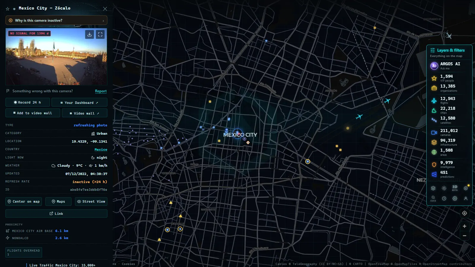
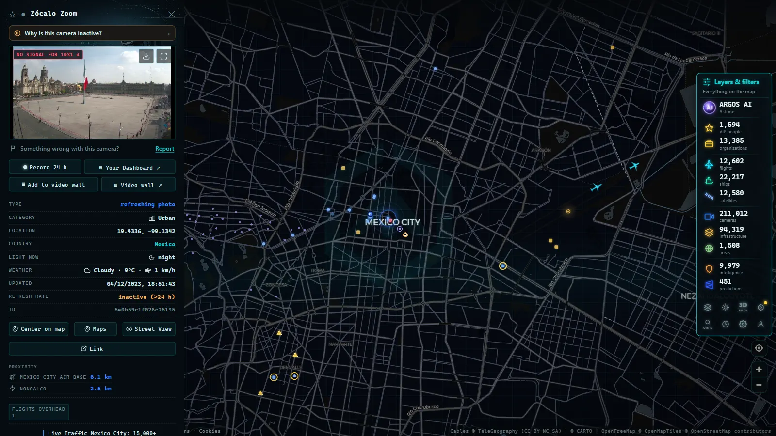
ARGOS ATLAS: an interactive map tool that aggregates public traffic cameras from the CDMX and other cities worldwide into a single global view. It allows users to see in real time which zones are active, access available feeds, and correlate traffic conditions with other variables such as flight movements, ship positions, or critical infrastructure. For researchers studying mobility patterns or anyone wanting a quick situational overview of the city, ARGOS ATLAS provides an additional layer of context that official portals typically do not offer. You can explore the live Mexico City camera layer directly at /en/blog/camaras-trafico-mexico-cdmx/.
Challenges: maintenance, privacy, and open data
A network of 15,000 cameras raises challenges that extend well beyond technology. Maintenance is the Achilles heel: independent estimates suggest that between 15% and 25% of devices may be offline at any given moment, whether due to vandalism, electrical failure, or simple equipment obsolescence.
The privacy debate is also intensifying. Civil organizations such as R3D (Red en Defensa de los Derechos Digitales) and Article 19 Mexico have noted that the absence of a robust legal framework for data protection in the context of urban surveillance leaves citizens without clear safeguards regarding how captured images are stored, processed, and shared with other government agencies or third parties.
Finally, the demand for open data is growing stronger. Mobility researchers, urban planners, and data journalists are calling for structured access to historical camera feeds so they can analyze traffic patterns, validate the impact of road works, and build predictive congestion models. The current access model (largely closed, operationally justified, but analytically limiting) represents a significant missed opportunity for evidence-based urban planning.
The road ahead: toward a more connected city
Expansion plans for the network include the progressive integration of artificial intelligence for predictive traffic analysis, the connection of borough-operated cameras that currently function in isolation, and the construction of a metropolitan data lake that unifies information from cameras, IoT sensors, public transit data, and citizen reports.
Mexico City already possesses the physical infrastructure to become one of the most mobility-intelligent cities in the Americas. The gap lies in governance, interoperability, and data openness, not in the number of cameras on poles. Tools like ARGOS ATLAS help bridge that gap from the citizen consultation side, putting in any person's hands the ability to see the city in motion, in real time, from anywhere in the world.
The metropolis never sleeps. Neither do its cameras.
Frequently asked questions
How many traffic cameras does Mexico City have?
Mexico City operates more than 15,000 cameras distributed across the C5, SEMOVI, urban highway concessionaires, and supplementary systems managed by individual boroughs, making it one of the largest urban surveillance networks in Latin America.
How can I watch Mexico City traffic cameras live?
You can access official feeds through the SEMOVI portal and C5 platforms, or use tools like ARGOS ATLAS, which aggregates public traffic cameras from the metropolitan area on a freely accessible interactive map.
Which roads does the C5 camera system cover in CDMX?
The C5 monitors the city's main arteries: axis roads, the Periferico ring road, Anillo de Circunvalacion, Insurgentes, access points to concession highways, and the major transit corridors of the Metrobus and Tren Suburbano commuter rail.
- Live Traffic Cameras in Buenos Aires: Urban Autopistas, Metrobus, and the North-South Corridor
- Live Traffic Cameras in Bogota, Colombia: IDU, Movilidad, TransMilenio and Pico y Placa
- Santiago Traffic Cameras: Local Traffic Updates Live from Chile
- Live Traffic Lima, Peru: Watch Real-Time Cameras Now
- Traffic Cameras in Ecuador: Quito, Guayaquil and the Troncal de la Sierra Highway
- Caracas Traffic Cameras Live: Francisco Fajardo & Caminante