Blog · Traffic cameras
Traffic Cameras in the Netherlands: Rijkswaterstaat, A1, A2, A4 and the Amsterdam and Rotterdam Networks
Few countries pack as much road traffic into so little space as the Netherlands. A nation the size of a mid-sized South American province hosts over 5,800 kilometres of motorway, connecting Europe's largest port, one of its busiest airports and a dense cluster of industrial and logistics hubs. Managing that network in real time falls to Rijkswaterstaat, the national road authority, whose camera infrastructure is among the most sophisticated on the continent.
Rijkswaterstaat: Two Centuries of Infrastructure, Now in Real Time
Rijkswaterstaat was founded in the early nineteenth century to oversee the dykes and canals that keep much of the Netherlands above water. Today its mandate includes every major motorway in the country. The agency's traffic management centres monitor hundreds of camera feeds simultaneously, correlating them with loop detectors buried in the asphalt, radar speed sensors and weather stations to paint a continuous picture of the road network.
The practical result is a system that does not merely respond to incidents but anticipates them. When traffic density exceeds a threshold on a particular segment, variable message signs reduce the speed limit automatically (typically to 100, 80 or even 50 km/h) before congestion can crystallise into a full standstill. Cameras are the eyes that make this possible, providing human operators with situational awareness that no sensor array alone can match.
"Dynamic traffic management in the Netherlands is not about reacting to crashes, it is about preventing them. The camera network is the foundation of that philosophy."
The A1 Motorway: Amsterdam to the German Border
The A1 is the country's principal east-west axis. It begins at the Amsterdam-Oost interchange and runs through Gelderland and Overijssel before crossing into Germany near Oldenzaal, where it continues as the A30. The corridor it forms connects the Dutch capital directly to the Ruhr industrial region, one of the busiest freight corridors in Europe.
Camera coverage on the A1 is heaviest in the metropolitan Amsterdam section, between the Diemen junction and the A9. Morning peak-hour congestion here is a daily occurrence: drivers heading into the city from the east encounter a funnel effect as five lanes of traffic compress into three. When that segment backs up, the knock-on effect spreads to the A10 ring road and can paralyse multiple entry points into the city within minutes.
Further east, in the Amersfoort and Apeldoorn sections, the traffic profile changes. Volume drops and the road widens, but autumn and winter fog is a recurring hazard. Variable speed signs on the A1 east of Utrecht are among the most frequently activated in the country, regularly dropping limits to 80 km/h when visibility deteriorates below 200 metres.
The A2 Motorway: The North-South Backbone
The A2 runs from Amsterdam in the north to the Belgian border south of Maastricht, passing through Utrecht, 's-Hertogenbosch and Eindhoven. It is one of the country's most heavily used freight routes: trucks arriving at Rotterdam port head north on the A2, while logistics centres in Venlo and Eindhoven dispatch vehicles south toward Antwerp and Brussels.
The most complex section of the A2 is its passage through Utrecht. For decades this was ranked among the most congested motorway stretches in Europe. The eventual fix was ambitious: a 6.8-kilometre cut-and-cover tunnel, the Leidsche Rijntunnel, opened in 2013. Cameras at the tunnel portals serve a dual purpose, monitoring traffic flow and enforcing restrictions on hazardous cargo, which is prohibited from using the tunnel. Automated systems cross-reference vehicle registrations with permit databases and flag non-compliant trucks before they reach the entrance.
South of Utrecht, the A2 splits toward Eindhoven (home to ASML, the world's dominant supplier of semiconductor lithography machines, and the original Philips campus) and toward Den Bosch. Traffic on the Eindhoven branch has grown substantially as the technology cluster has expanded, and cameras in that corridor are increasingly used to model commuter patterns for infrastructure planning.
From the ARGOS ATLAS channel.
The A4 Motorway: Gateway to Rotterdam and the Southern Corridor
The A4 connects Amsterdam to Rotterdam and continues south toward the Belgian border. In the context of European freight logistics it is arguably the most strategically important road in the Netherlands: every container that enters or leaves Rotterdam by road uses it or one of its direct feeders.
Rotterdam Port and the A15
Rotterdam handles more cargo annually than any other port in Europe. The A15 is the port's primary road artery, running east from the Maasvlakte through the heart of the industrial port zone before joining the main motorway network. During vessel-discharge windows (typically the hours following a large container ship's arrival) the A15 fills with trucks, and the queue extends back to the A4 junction and beyond.
Cameras along the A15 and the A4 south of Rotterdam are among the most valuable feeds for freight operators. A glance at the images before dispatching a truck can mean the difference between on-time terminal delivery and a multi-hour delay. Port management systems increasingly integrate these feeds with terminal queue data to issue dynamic guidance to drivers via in-cab navigation.
The Schiedam-Barendrecht Corridor
Between Schiedam and Barendrecht, the A4 passes through one of the most complex road engineering environments in the country. Multiple motorways converge and diverge across elevated sections and tunnels, creating merge points where lane discipline is critical. The Beneluxtunnel carries the A4 under the New Meuse river; the Vlaketunnel passes beneath the Hollandsch Diep further south. Camera surveillance in both tunnels follows strict protocols identical to those on the A2 Leidsche Rijntunnel.
Amsterdam's Ring Road: The A10 and Concentric Pressure
Amsterdam is encircled by a system of ring motorways. The A10 is the inner ring, tightly wrapped around the historic city. All major radial motorways (the A1, A2, A4, A8 and A9) feed into it. When any of those corridors experiences a blockage, the A10 absorbs the displaced traffic and can reach saturation within minutes.
Camera density on the A10 is among the highest in the Netherlands. Rijkswaterstaat operators and the Amsterdam traffic management centre work in close coordination, activating diversion signals to the A9 outer ring or alternate routes before the inner ring reaches gridlock. In recent years, anonymised data from navigation applications has been integrated alongside the fixed camera feeds, giving operators a richer picture of where vehicles are actually heading rather than just where they are.
The A10's southern arc (between the RAI convention centre and the Amstel junction) is particularly sensitive to disruption from events at the Johan Cruijff ArenA stadium, located just outside the ring. On match days, the camera network is used to activate pre-planned traffic management schemes that channel supporters toward specific park-and-ride facilities and away from the motorway network.
Exploring Dutch Traffic Cameras with ARGOS ATLAS
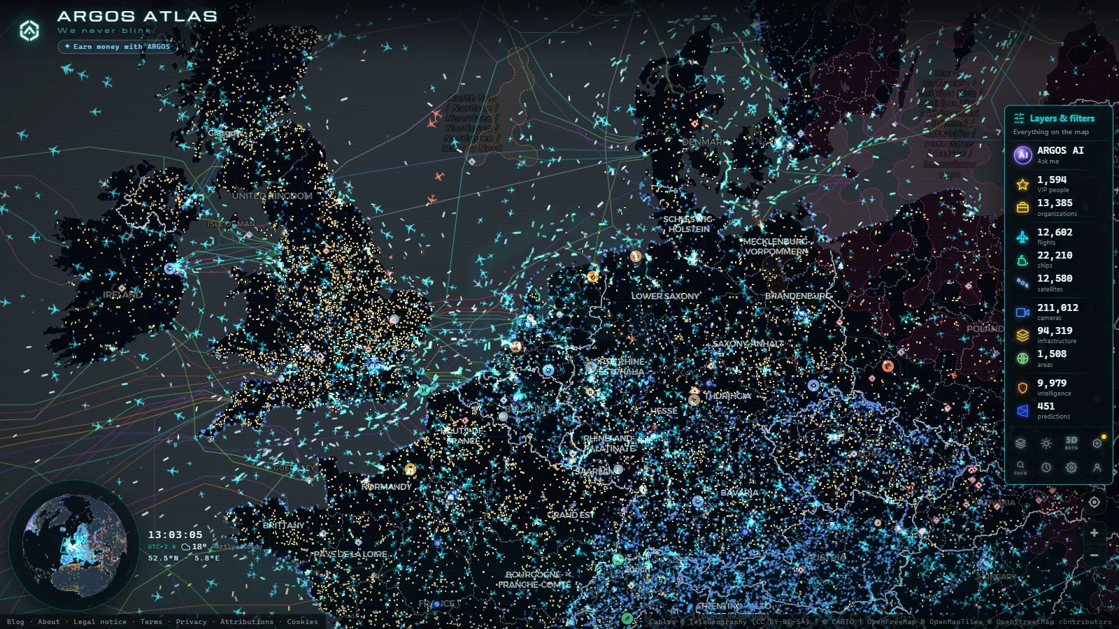
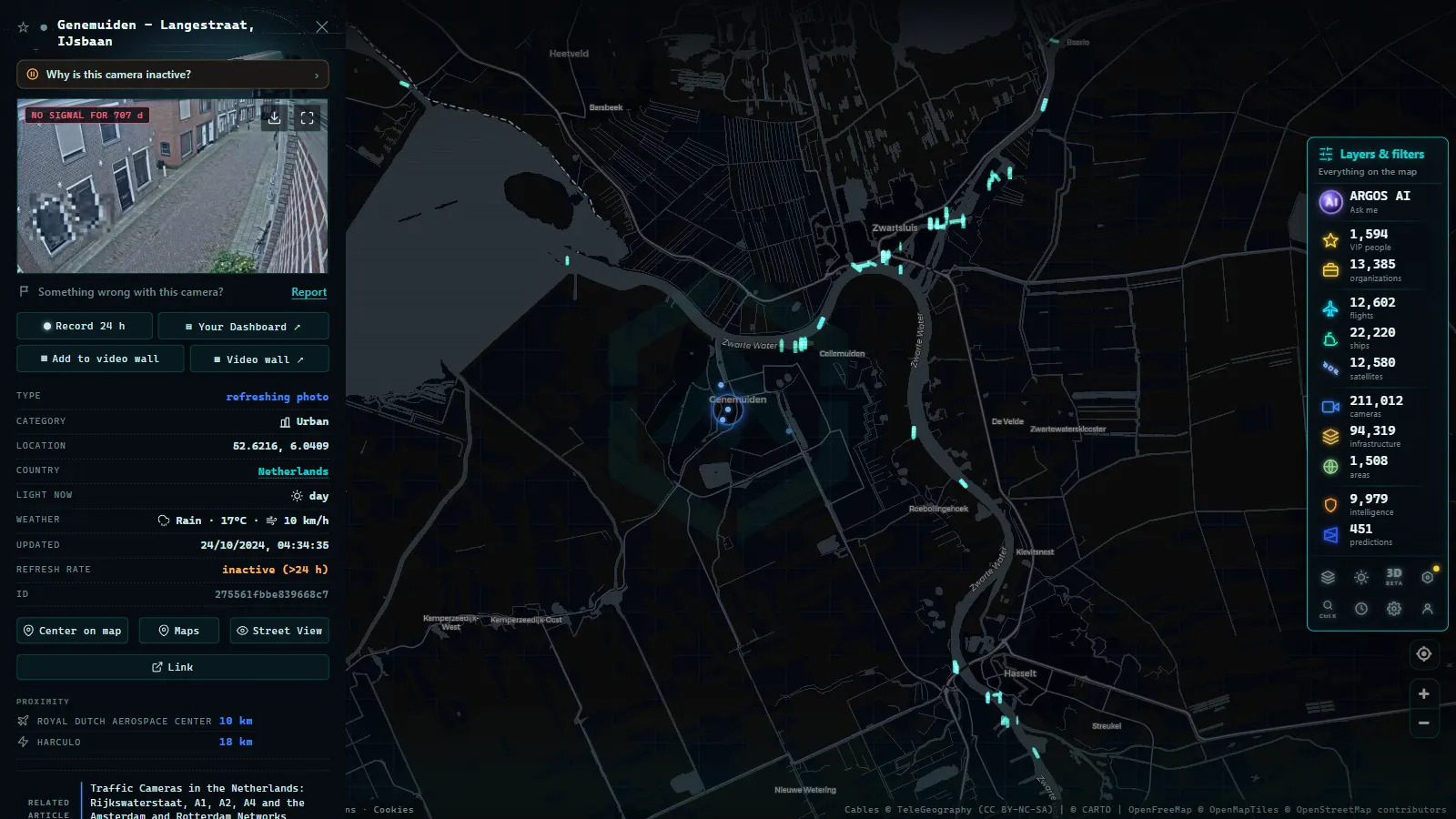
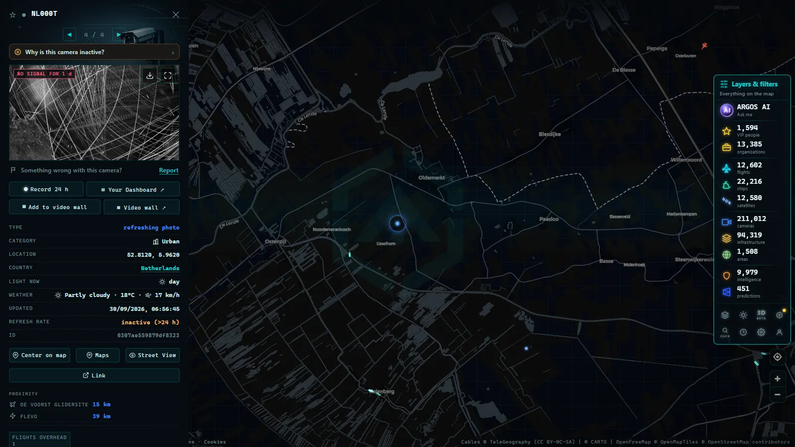
ARGOS ATLAS aggregates live traffic camera feeds from across Europe, including the Netherlands, into a single interactive map. For Dutch motorways, the map plots active camera positions along the A1, A2, A4 and the Amsterdam ring road. Clicking any camera icon brings up the latest available image, letting you assess conditions before a journey or simply observe how one of the world's most sophisticated traffic systems operates.
The platform requires no login and runs entirely in the browser. Beyond traffic cameras, ARGOS ATLAS layers AIS ship tracking over Rotterdam harbour in real time (you can watch container vessels manoeuvring in the New Waterway) and flight tracking over Schiphol, one of the five busiest airports in Europe. The combination of road, sea and air data in one view offers a perspective on Dutch logistics that few other tools can match.
For journalists, researchers and OSINT practitioners, the camera network also provides useful situational awareness during major incidents: accidents, infrastructure failures or significant weather events often show up in camera feeds before they appear in official bulletins.
Conclusion
The Netherlands has built one of the most technologically advanced traffic management systems in the world, and Rijkswaterstaat's camera network is central to it. The A1, A2 and A4 carry the heaviest loads, but it is at the metropolitan nodes (Amsterdam's concentric rings and Rotterdam's port approaches) that the complexity reaches its peak. Understanding how these corridors work, and having the tools to observe them in real time, matters for anyone who travels, ships goods or studies the infrastructure that underpins northern European commerce.
ARGOS ATLAS makes that observation straightforward, placing Dutch traffic cameras alongside global flights, ships and infrastructure data in a single open map.
Frequently asked questions
What is Rijkswaterstaat and how does it manage traffic cameras?
Rijkswaterstaat is the Dutch national road authority responsible for managing motorways, waterways and flood defences. It operates an extensive network of traffic cameras integrated with variable speed signs and incident detection systems, feeding real-time data to control centres that operate around the clock.
Can I watch live traffic on the A1, A2 and A4 motorways in the Netherlands?
Yes. Rijkswaterstaat publishes camera images at short intervals and tools like ARGOS ATLAS aggregate those feeds into an interactive map, letting you check conditions on any major Dutch motorway without switching between multiple official portals.
Why is the Rotterdam port area so prone to traffic congestion on the A4 and A15?
Rotterdam handles more than 400 million tonnes of cargo per year, generating a constant flow of heavy goods vehicles. The A15 runs through the port zone and feeds into the A4; during peak hours and after terminal delays, queues can stretch back several kilometres and spill onto connecting motorways towards Amsterdam and Antwerp.
- Live Traffic Cameras in Portugal: Brisa, Infraestruturas de Portugal and the A1 Motorway
- Live Traffic Cameras in Switzerland: Alpine Passes, ASTRA and Road Conditions
- Live Traffic Cameras: How to Monitor Global Road Conditions
- Local Traffic Updates: See Any Road Live on One Map (Free)
- US Traffic Cameras: All 511 Feeds on One Live Map
- Spain Summer Traffic Operation 2026: Dates and Live Cameras