Blog · Traffic cameras
Live Traffic Cameras in Belgium: Wallonie, Vlaanderen and the Brussels Ring
Belgium is one of the smallest countries in Western Europe by surface area, yet its road network is anything but small. Home to three linguistic communities, two entirely separate regional transport administrations and a capital that hosts the headquarters of both the European Union and NATO, Belgium operates a road monitoring infrastructure of the highest order. Understanding how that system works, who runs each camera and how to access live footage is useful whether you are a driver planning a cross-country route, a researcher studying urban traffic management or an analyst working with open-source intelligence.
Two Regional Systems, One Road Network
The first thing that surprises anyone approaching Belgian traffic data is the administrative fragmentation. Belgium has no single national traffic camera portal. The country is divided between the Walloon Region (Wallonie) in the south and the Flemish Region (Vlaanderen) in the north, each with its own road management system, its own data platform and its own camera network.
The Brussels-Capital Region operates as a third actor, managing its own urban roads and tunnel infrastructure with distinct systems. This decentralised architecture has direct implications for anyone trying to follow traffic along a route that crosses regional boundaries: you will need to consult more than one source, or turn to an aggregator platform.
Wallonie: the PEREX System
In the French-speaking south, the camera network is coordinated by PEREX (Poste de Contrôle du Réseau Express), Wallonia's traffic management centre. From its control room in Liège, PEREX oversees the main motorways of the southern half of the country: the E40 toward France and Germany, the E42 and the E25 toward Luxembourg and the Netherlands.
The Wallonie public portal provides images from fixed cameras distributed along these corridors, refreshed every few minutes. Coverage is especially dense around the urban areas of Liège, Namur and Charleroi, cities where the convergence of multiple motorways creates frequent congestion.
"Managing traffic in a bilingual country like Belgium is not just a technical challenge, it is also an institutional coordination feat that few nations have solved with such precision."
What makes the Walloon system notable is its integration with meteorological data from the IRM (Institut Royal Météorologique) to activate variable messaging signs in real time. The cameras do not simply stream images; they are connected to an alert system that triggers reduced-speed panels when sensors detect heavy rain or fog.
Vlaanderen: the Verkeerscentrum
In the north, the Dutch-speaking Flemish Region's traffic management falls to the Verkeerscentrum, an agency under the Roads and Traffic Agency (AWV). Its camera network covers the Flemish motorway system with even higher density than Wallonie, in part because the northern region hosts the country's main ports and logistics corridors, including Antwerp, the second-largest port in Europe.
The Verkeerscentrum portal is one of the most comprehensive traffic data interfaces in Europe. Alongside camera images, it publishes estimated travel times, average speeds by road segment and incident alerts integrated with the pan-European DATEX II data standard.
The A10/E40 between Brussels and Ostend (one of the most heavily used motorways in Flanders, particularly in summer when Belgians and tourists head to the coast) is covered by cameras every few kilometres. On Friday afternoons, this corridor can see tailbacks stretching more than 30 kilometres, making it one of the most closely watched critical points in the Verkeerscentrum's network.
The Brussels Ring R0: Europe's Most Complex Orbital
The Brussels Ring, officially designated the R0, is the motorway that encircles the Belgian capital. Approximately 74 kilometres long and featuring multiple interchanges with the radial motorways entering and leaving the city, the R0 is statistically one of the most congested stretches of motorway in Europe.
The complexity of the R0 stems not only from traffic volume (tens of thousands of vehicles per day) but from its shared jurisdiction. Part of the ring runs through Flemish territory (managed by AWV and the Verkeerscentrum) while another section falls under the Brussels-Capital Region (managed by Bruxelles Mobilité). This means camera images of the same ring road can come from two completely different systems depending on which section you are looking at.
Key Monitored Chokepoints
The interchanges at Groot-Bijgaarden (where the A10 meets the R0 in the northwest), Vilvorde to the north and Forest to the south are historically the most prone to saturation. Cameras at these nodes have higher refresh rates and are connected directly to the variable messaging panels that inform drivers of alternative journey times.
During morning peak hours, inbound traffic from Flanders toward Brussels turns the northwestern arc of the R0 into a regular trap. The Verkeerscentrum cameras allow you to identify in real time whether the bottleneck is at Groot-Bijgaarden, at the junction with the Brussels Tunnel or already within the urban street network.
The A10: Brussels to Ostend
The A10/E40 is the motorway linking Brussels to the Belgian coast via Ghent. It is a daily commuter route between the two cities and one of the most important tourist arteries in the Belgian summer calendar.
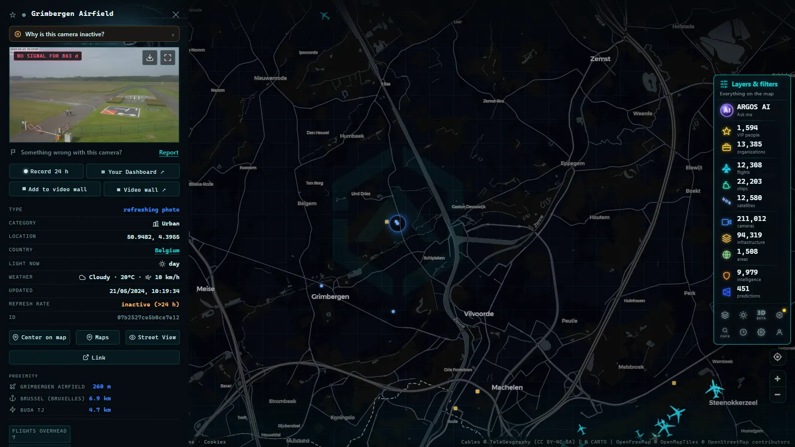
Cameras along the A10 are operated primarily by the Verkeerscentrum on its Flemish section. Camera-by-camera coverage is particularly dense between the Groot-Bijgaarden interchange and Ghent, a stretch of roughly 50 kilometres that accounts for the majority of incidents recorded on this corridor.
Where the motorway passes through Ghent, it traverses the city via an elevated structure known as the Ghent Viaduct, which has been the subject of intense political debate for years due to its visual and environmental impact. Cameras at this point offer some of the most recognisable vantage points on Belgian road infrastructure.
From the ARGOS ATLAS channel.
The Leopold II Tunnel: Brussels' Longest
If there is one piece of traffic infrastructure that concentrates the attention of Brussels drivers, it is the Leopold II Tunnel (in Dutch: Leopoldtunnel II). At over two kilometres in length, it is the longest road tunnel in the capital region and one of the longest in Belgium.
The tunnel connects the north of Brussels with the south, allowing traffic to pass beneath the heart of the city without entering the streets of the centre. It carries an enormous number of vehicles daily, making it a critical failure point: a single accident or breakdown inside the tunnel can trigger congestion cascades that ripple outward to the R0 and beyond.
Tunnel Monitoring Infrastructure
Bruxelles Mobilité manages a camera network inside the Leopold II Tunnel that covers virtually every metre of the route. This level of coverage is not a luxury, European regulations on road tunnel safety require continuous surveillance in structures longer than 500 metres on the trans-European transport network.
The tunnel's camera feed is available through the Bruxelles Mobilité portal and on platforms that aggregate data from multiple institutional sources. Refresh latency is low, since real-time monitoring is part of the mandatory safety protocol rather than an optional service.
ARGOS ATLAS: Integrated Access to Belgian Cameras
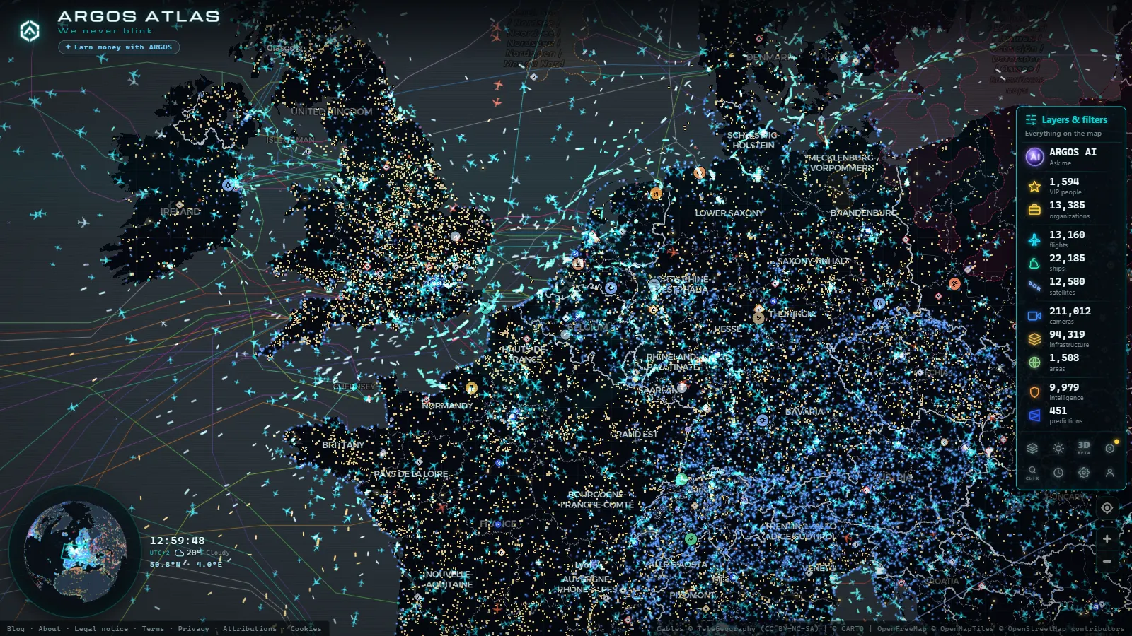
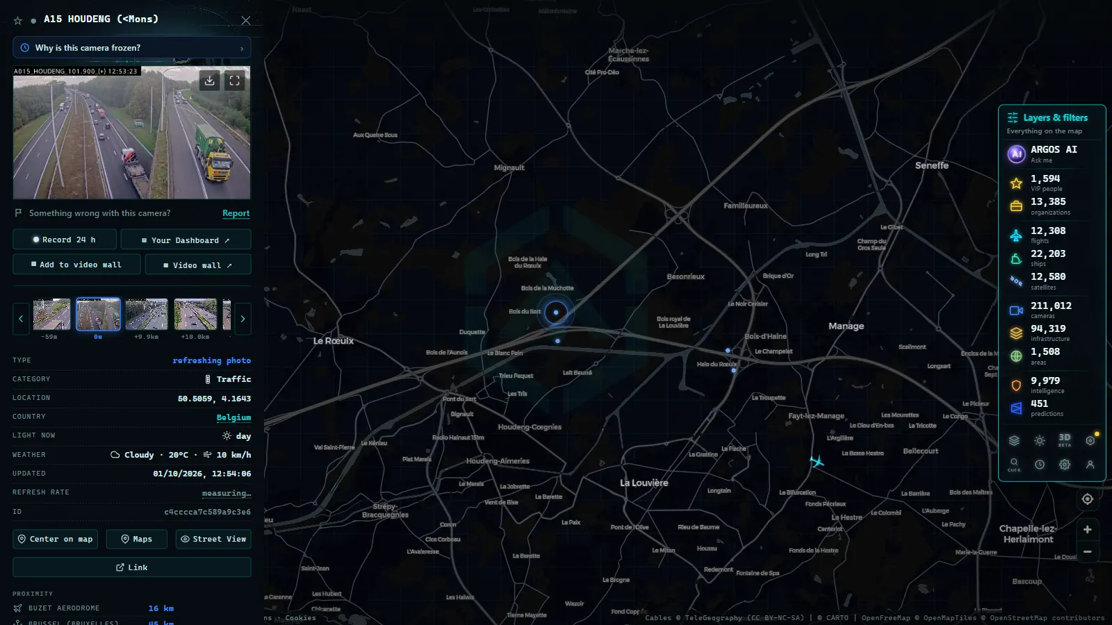
Consulting the Wallonie, Vlaanderen and Brussels-Capital camera systems separately can be time-consuming, especially when following a route that crosses several jurisdictions in a single journey. ARGOS ATLAS aggregates traffic camera sources from multiple European countries, including Belgium, into a single interactive map.
From the ARGOS ATLAS map you can see each camera's geographic position, access its live image and cross-reference that information with flight data, ship movements and other infrastructure layers available on the platform. For anyone working in logistics, transport planning or open-source analysis, this integrated view offers a meaningful advantage over navigating between fragmented institutional portals.
You can explore Belgium's cameras on ARGOS ATLAS alongside those from neighbouring corridors covered in articles such as traffic cameras in the Netherlands and traffic cameras in Germany.
Conclusion
Belgium's traffic camera network reflects the political and administrative complexity of a small but densely populated country crossed by some of Europe's most important logistics routes. Understanding how the system is organised (across Wallonie, Vlaanderen and Brussels) is the first step to using it effectively, whether you are planning a drive, monitoring incidents in real time or studying traffic behaviour in one of the most congested urban environments on the continent.
Frequently asked questions
Where can I watch live traffic cameras in Belgium?
Belgium's cameras are split between two main portals: the Wallonie traffic platform and the Verkeerscentrum for Vlaanderen. You can also view them aggregated on ARGOS ATLAS.
How many cameras monitor the Brussels Ring R0?
The R0 Brussels Ring has over 200 monitoring points combining fixed cameras and speed detectors, making it one of the most closely watched corridors in Western Europe.
Are the Leopold II tunnel cameras publicly accessible?
Yes. The Leopold II tunnel has real-time footage managed by Bruxelles Mobilité, available through the Brussels mobility portal and aggregator platforms like ARGOS ATLAS.
- Live Traffic Cameras in Japan: NEXCO Expressways, National Police Agency and Road Sensors
- Traffic Cameras in the Netherlands: Rijkswaterstaat, A1, A2, A4 and the Amsterdam and Rotterdam Networks
- Live Traffic Cameras in Portugal: Brisa, Infraestruturas de Portugal and the A1 Motorway
- Live Traffic Cameras in Switzerland: Alpine Passes, ASTRA and Road Conditions
- Live Traffic Cameras: How to Monitor Global Road Conditions
- Local Traffic Updates: See Any Road Live on One Map (Free)