Blog · Traffic cameras
Caracas Traffic Cameras Live: Francisco Fajardo & Caminante

Traffic Cameras in Venezuela: A Real-Time Window onto the Country's Roads
Venezuela's road network links the capital Caracas to the rest of the country through historic motorways, mountain passes, and inter-city corridors. Monitoring conditions on these roads in real time is a daily necessity for millions of Venezuelans commuting across the Greater Caracas area or travelling between cities on routes like the Autopista Regional del Centro.
Traffic cameras in Venezuela give drivers, journalists, and researchers the ability to assess road conditions before departure, identify accidents or blockages, and plan journeys with up-to-date information. This article explores Venezuela's road surveillance infrastructure, its most-watched motorways, and how tools such as ARGOS ATLAS make these feeds accessible to anyone with an internet connection.
---
The Francisco Fajardo Motorway: Caracas's Central Artery
The Autopista Francisco Fajardo is the most important urban road in Caracas. Built in the second half of the twentieth century, it runs east to west along the Guaire River valley, connecting the eastern districts of Petare and La Urbina to the western exits towards La Guaira, La Yaguara, and the road to Maracay.
At more than 20 kilometres in length within the urban envelope, the Francisco Fajardo concentrates some of the most severe bottlenecks in the country. Interchanges at La California, Chacaíto, El Rosal, Chuao, La Trinidad, and La Paz record congestion during virtually every morning and afternoon peak period.
Cameras installed along this motorway allow authorities and the public to monitor:
- Accidents and cargo spills that block entire lanes
- Gridlock at interchanges such as the Distribuidor Altamira
- Road surface conditions after heavy rain, a frequent hazard during the wet season
- Emergency-service presence, fire trucks, Red Cross units, and traffic police
How Camera Data Shapes Traffic Management in Caracas
At least three agencies share responsibility for traffic management in Caracas: the INTT, the Policía Nacional Bolivariana (PNB), and the Cuerpo de Policía Nacional de Tránsito. Each operates surveillance points on different sections of the city's road network, creating a fragmented but growing coverage of the urban grid.
"Real-time traffic data in a city like Caracas is not a convenience, it is a practical survival tool for people whose commutes span increasingly long distances across an expanding metropolitan area."
This decentralisation means that camera feeds come from different systems: some are operated directly by the INTT, others by the Caracas city authority or by the individual municipalities of Libertador, Baruta, Chacao, Sucre, and El Hatillo.
---
The Caminante System: National Road Surveillance
Caminante is the most ambitious road video-surveillance initiative deployed in Venezuela in recent decades. Launched by the INTT, Caminante aims to integrate monitoring cameras, licence-plate recognition (LPR) readers, and speed sensors into a national network that covers not only Caracas but also critical inter-city roads.
The core objectives of the Caminante system include:
- Speed enforcement through fixed and mobile radars integrated with camera feeds
- Licence-plate detection to flag vehicles with outstanding infractions or warrants
- Accident monitoring with early-alert capabilities for emergency responders
- Traffic-flow statistics to inform infrastructure planning and investment decisions
Territorial Reach of the Caminante Network
Although the highest concentration of Caminante devices is in the Caracas Metropolitan Area, the INTT has deployed network nodes in other Venezuelan cities including Valencia, Maracaibo, Barquisimeto, Maracay, and Puerto La Cruz. Coverage in the interior of the country is more variable, depending on the electrical and telecommunications infrastructure available in each region, a factor that has historically limited the system's expansion.
---
From the ARGOS ATLAS channel.
The Regional del Centro Autopista: Connecting Caracas to the West
The Autopista Regional del Centro is one of Venezuela's most heavily used intercity roads. It connects Caracas to Valencia via Maracay, running through La Victoria and the entire state of Aragua. The route extends more than 170 kilometres and is the primary overland link between the capital and western Venezuela.
Traffic on this motorway is dense and mixed: private cars, intercity coaches, freight lorries, and fuel tankers share the carriageway under conditions that vary sharply by day and time of day.
The most camera-monitored points along the Regional del Centro include:
- The Tejerías interchange, where several routes branch towards the Venezuelan Llanos
- The La Victoria stretch, where toll plazas and traffic checkpoints concentrate
- Tunnels and viaducts in the mountainous section between Caracas and the Aragua valley
- The Maracay toll gates and the eastern approaches to Valencia
Rainy Season and Landslides: The Critical Variable
Venezuela experiences an intense wet season between May and November. During this period, landslides and flash floods along the Regional del Centro can cut the motorway for hours or even days at a stretch. Cameras on these sections are especially valuable because they allow drivers to check whether the road is open before beginning a multi-hour journey, information that is difficult to obtain any other way in real time.
---
Other Key Monitored Roads in Venezuela
Beyond the Francisco Fajardo and the Regional del Centro, several other Venezuelan motorways and urban roads are under partial camera surveillance:
- Autopista Gran Mariscal de Ayacucho: connects Caracas to Miranda state and the Guarenas-Guatire corridor
- Autopista del Este (Caracas-Barcelona): the gateway to eastern Venezuela and the Orinoco Delta region
- Avenida Boyacá (La Cota Mil): the panoramic road running along the upper slopes of Caracas
- Autopista Caracas-La Guaira: the access route to Simón Bolívar International Airport at Maiquetía, one of the country's most intensively monitored stretches of road
Each of these routes has its own congestion patterns, weather-related risks, and critical surveillance points that make camera monitoring particularly relevant.
---
ARGOS ATLAS: Viewing Venezuelan Traffic Cameras on a Global Map
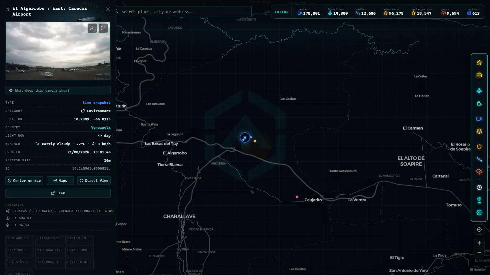
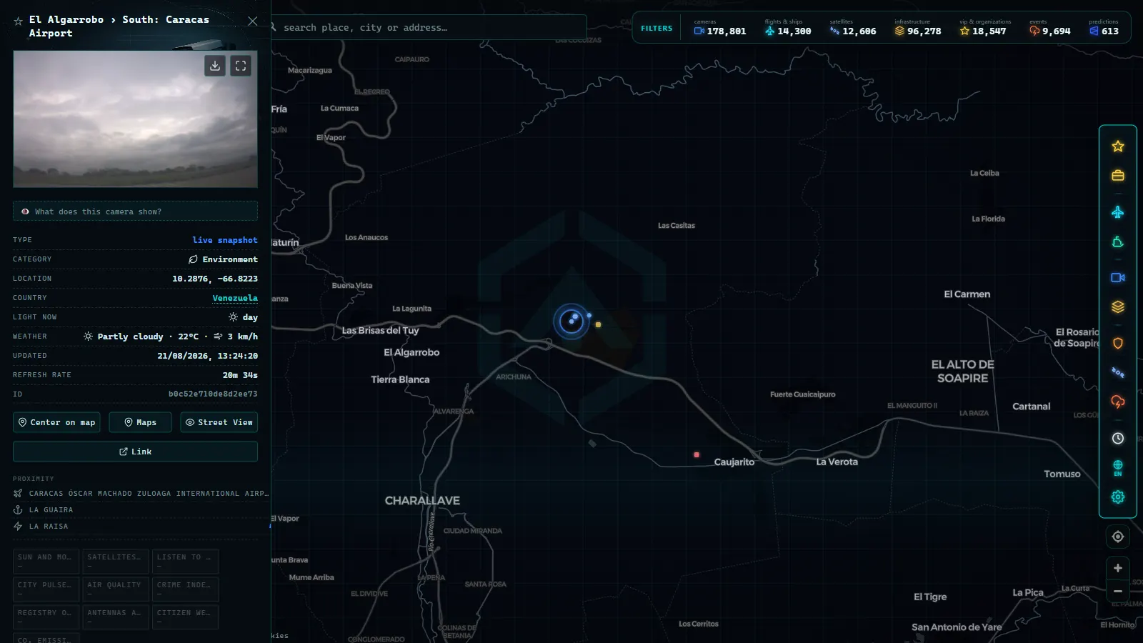
ARGOS ATLAS is a real-time geospatial visualisation platform that integrates traffic cameras from multiple countries, including Venezuela. Through its interactive map interface, you can locate active cameras in Caracas and other Venezuelan cities, see their precise geographic position, and access live feeds where they are publicly available.
The platform extends well beyond road traffic. ARGOS ATLAS also displays live flights over Venezuelan airspace, ships in Venezuelan coastal waters (including Lake Maracaibo and the Orinoco Delta), active airports, and data on critical national infrastructure, all within a single interface.
For journalists covering Venezuela from abroad, ARGOS ATLAS provides a visual real-time perspective on the country: you can observe which Caracas motorways are congested while simultaneously tracking departures from Maiquetía Airport or monitoring vessel movements in the Gulf of Venezuela.
You can also explore our articles on traffic cameras in Bogotá and traffic cameras in Lima to compare road surveillance systems across Latin America.
---
Sources and Methodology
The traffic cameras indexed in ARGOS ATLAS are drawn from publicly accessible sources: feeds embedded in official traffic authority portals, open streams published by municipal bodies, and cameras registered in open infrastructure databases. The platform does not access private systems or closed-circuit security networks.
The availability of any individual camera depends on external factors: electrical supply, device maintenance, and the operational decisions of the managing agency. In Venezuela, variability in electricity supply can affect the reliability of certain camera feeds, particularly in regions outside the main urban centres.
---
Conclusion
Venezuela's traffic camera network (anchored on arteries like the Francisco Fajardo motorway and the Regional del Centro autopista, and coordinated through the national Caminante system) represents a growing source of real-time information for drivers, researchers, and observers of the country. Tools like ARGOS ATLAS make this information accessible from anywhere in the world, embedding it within a global map that brings together road surveillance, live air traffic, and maritime data in a single unified interface.
Frequently asked questions
Where can I watch live traffic cameras from Caracas?
ARGOS ATLAS integrates active traffic cameras from Venezuela into its interactive map. You can locate cameras along the Francisco Fajardo motorway, the Regional del Centro autopista, and other major roads in Caracas and across the country.
What is Venezuela's Caminante traffic system?
Caminante is Venezuela's national road video-surveillance network, managed by the INTT (Instituto Nacional de Transporte Terrestre). It includes cameras, speed radars, and licence-plate readers deployed on major highways and urban arterials across the country.
Does the Francisco Fajardo motorway have real-time cameras?
Yes. The Francisco Fajardo, which runs east to west through the heart of Caracas, has monitoring cameras operated by Venezuelan traffic authorities. Some of these feeds are publicly indexed and accessible through platforms like ARGOS ATLAS.
- Traffic Cameras in Uruguay and Montevideo: A Complete Guide
- Traffic Cameras in Costa Rica: COSEVI, Route 27 and the Country's Most Monitored Roads
- Live Traffic Cameras in Medellin: Metro, Mountain Autopistas and Aerial Cable Cars
- Live Traffic Cameras in France: Bison Futé, SANEF, APRR and the Major Motorways
- Live Traffic Cameras in Germany: BASt, Autobahn Monitoring and State Portals
- Live Traffic Cameras in Italy: Autostrade A1 Autosole, ANAS Roads and Alpine Passes