Blog · Traffic cameras
Traffic Cameras in Costa Rica: COSEVI, Route 27 and the Country's Most Monitored Roads
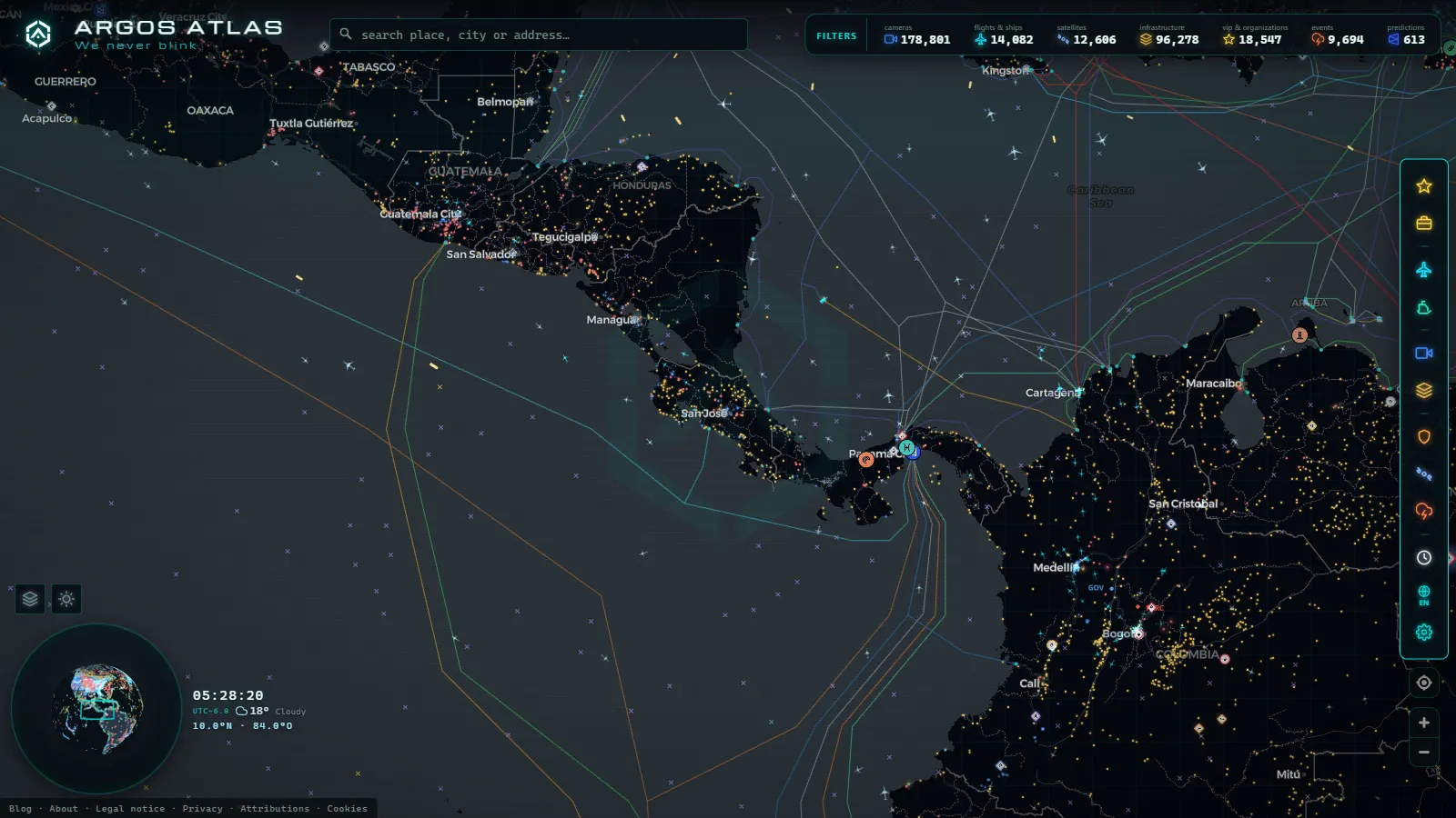
Costa Rica's Road Camera Network: Between Safety and Traffic Management
Costa Rica operates one of the most complex road networks in Central America. With San José as the hub of a regional economy that has grown steadily for decades, national routes carry millions of daily movements between the capital, the Atlantic and Pacific ports, and the country's major tourism zones. Two institutions sit at the center of this monitoring effort: COSEVI and CONAVI, each with a distinct mandate and its own network of cameras deployed across the country's roads.
This article covers how road monitoring works in Costa Rica, which routes have the highest camera density, where the most significant bottlenecks occur, and how tools like ARGOS ATLAS allow users to integrate this local view into a global picture of infrastructure surveillance.
---
COSEVI: Road Safety as a Core Mission
The Consejo de Seguridad Vial (COSEVI), or Road Safety Council, is the institution responsible for reducing traffic accidents and their consequences across Costa Rica. Beyond public awareness campaigns, COSEVI operates a technology infrastructure that includes monitoring cameras at intersections and road segments with a high rate of incidents.
COSEVI cameras serve multiple functions:
- Documenting accidents to establish facts and assign liability.
- Detecting traffic violations at signalized intersections with electronic enforcement.
- Generating behavioral statistics on driver conduct at critical points.
- Feeding road safety reports that guide public investment in signage and infrastructure upgrades.
In San José, the highest camera density falls on central intersections, the La Uruca junction, the exits toward Pavas, and the roundabout node near Multiplaza in Escazú. These locations consistently appear at the top of COSEVI's incident registers.
COSEVI's monitoring infrastructure is part of a broader effort to reduce Costa Rica's road fatality rate, which has historically been elevated relative to the size of its vehicle fleet and its population.
---
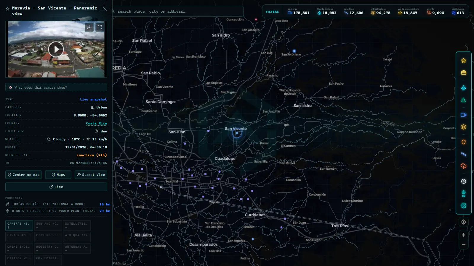
CONAVI and the Management of the National Road Network
The Consejo Nacional de Vialidad (CONAVI) manages more than 7,000 kilometers of national road network. Its focus differs from COSEVI's: while the Road Safety Council prioritizes accident reduction, CONAVI centers on the operational management of highways, which includes pavement condition monitoring, weight control at axle-load stations, and real-time traffic flow supervision.
CONAVI cameras are distributed primarily across:
- Primary national routes: the corridors connecting San José with the provinces of Alajuela, Heredia, Cartago, and Limón.
- Mountain segments: where weather conditions can shift rapidly and landslide closures are a recurring hazard.
- Strategic bridges: including those crossing the Tárcoles and Reventazón rivers, where any incident creates severe bottlenecks affecting both passenger traffic and freight logistics.
---
From the ARGOS ATLAS channel.
Route 27: The Country's Most Instrumented Corridor
If there is one road in Costa Rica where transport technology has been deployed at the greatest scale, it is Route 27, the highway that links San José to the port of Caldera on the Pacific coast. Running approximately 77 kilometers, this tolled concession highway is the umbilical cord between the capital and the Central Pacific beaches, and the primary entry point for vehicle and machinery imports through the country's busiest port.
Camera Coverage Along Route 27
Route 27 has active camera monitoring at the following critical points:
- Ciudad Colón toll plaza: the entry point from the Greater Metropolitan Area, with heavy congestion during peak hours and holiday weekends.
- Escazú access ramps: where cameras detect oversized vehicles before they enter restricted lanes.
- La Cuesta de Tárcoles: a steep descent that requires constant surveillance due to the risk of brake failure on heavy freight vehicles.
- Herradura toll plaza: the second collection point before the road descends toward the coast, where traffic splits toward Jacó and Quepos.
- Caldera node: the junction with the port and the southern coastal highway, monitored by both the concession operator and CONAVI.
The Route 27 concession company, operating under contract with the Costa Rican state, has mandatory continuous monitoring obligations built into its agreement. This makes Route 27 one of the most instrumented highway corridors in the Central American isthmus.
---
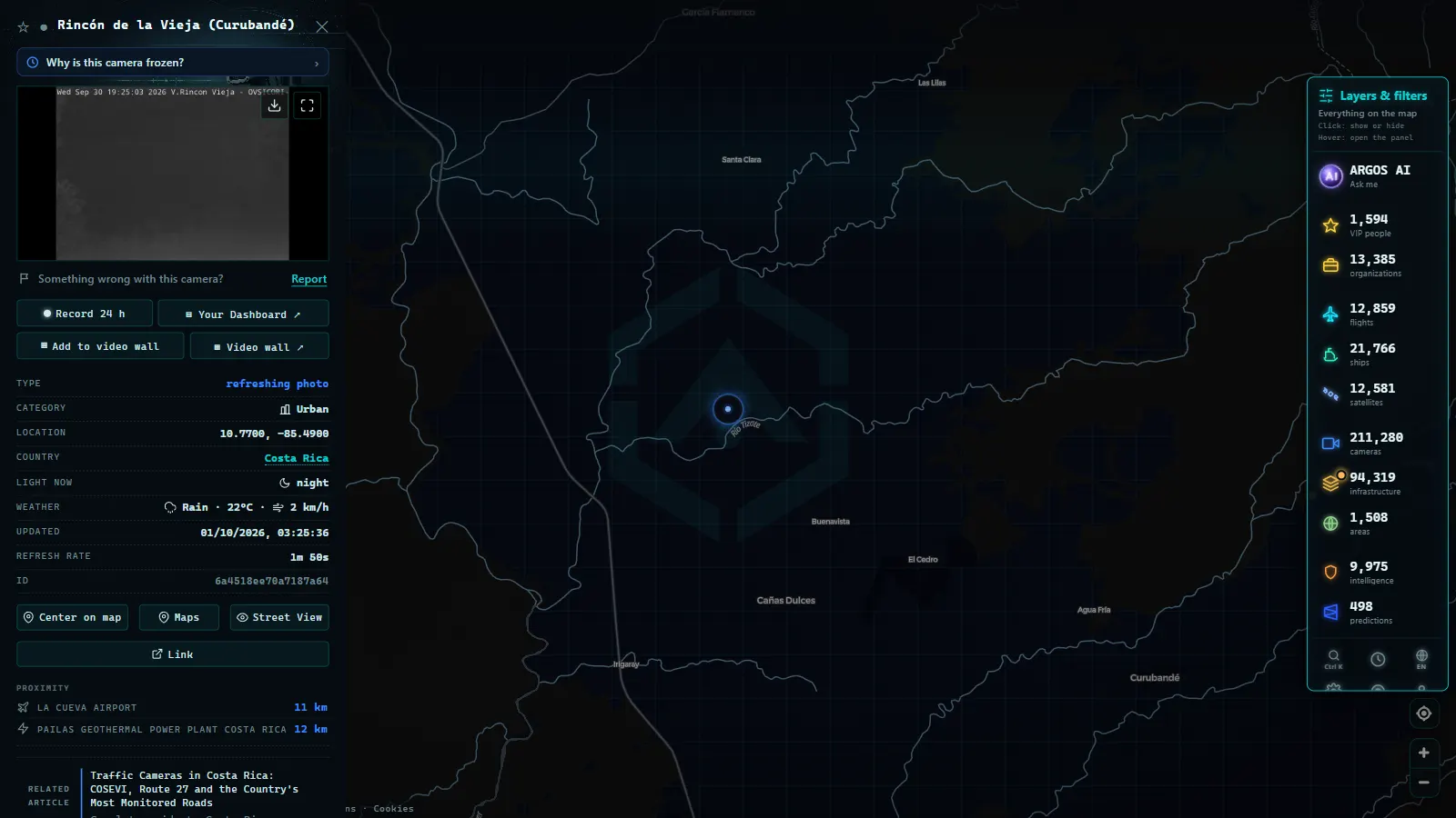
La Circunvalación: The Ring Road That Never Sleeps
Within the Greater Metropolitan Area (GAM), Route 1 (Circunvalación) functions as the primary urban distribution ring. It arcs through Tibás, La Uruca, Hospital, Hatillo, and Zapote, circling the center of San José and absorbing a large share of the traffic entering and leaving the capital.
Cameras on the Circunvalación serve several simultaneous purposes:
- Accident detection to trigger emergency response protocols.
- Reversible lane management during morning and evening peak hours.
- Construction zone supervision along segments where ongoing road-widening projects have been a constant feature for years.
Highest-Coverage Points
The most closely monitored nodes on the Circunvalación include the intersection with the Radial de Guadalupe, the crossing at Avenida 10 near the Hospital neighborhood, and the junction with Route 39 in La Uruca. These three points accumulate the highest number of incidents recorded by COSEVI over the past decade.
---
Technology Integration: The Unfinished Project
Unlike cities such as Bogotá or Mexico City, where traffic camera systems are integrated into unified control centers with partial public access, Costa Rica is still working to consolidate a single visualization platform. CONAVI has made progress in publishing road condition data, but real-time access to live camera imagery remains limited for the average citizen.
This gap is one that external aggregation platforms are positioned to address. ARGOS ATLAS brings together in a single interactive map traffic cameras from dozens of countries, including feeds from Costa Rica, alongside data on flights, ships, airports, and power plants. Through ARGOS ATLAS, users can observe conditions on Costa Rican highways in the context of the broader Central American region, compare traffic patterns with other Latin American cities, and understand mobility trends at a regional scale.
---
Regional Context: Costa Rica Within the Mesoamerican Monitoring Network
Costa Rica does not operate in isolation. Its road network connects directly to the Mesoamerican Route, the transport corridor that runs from Mexico to Panama. Cameras on Costa Rican highways are, in this sense, nodes in a larger network that includes border crossing controls at Peñas Blancas (with Nicaragua) and Paso Canoas (with Panama).
Road monitoring at border crossings carries an additional dimension: beyond passenger vehicle flow, these crossings concentrate heavy freight transport, whose timing and condition control is fundamental to the regional logistics chain. Both CONAVI and customs authorities maintain camera presence at these points, and data from these locations feeds into broader cross-border transport statistics.
---
What Is Coming: Toward a Smarter System
Costa Rica has announced plans to expand its monitoring infrastructure with systems applying artificial intelligence to image analysis. Capabilities under study include:
- Automatic detection of vehicles stopped in no-stopping zones.
- License plate recognition for average-speed enforcement across defined segments.
- Automatic alerts for fog or heavy rain conditions on Route 27 and the Braulio Carrillo highway connecting San José to the Caribbean slope.
These upgrades would bring Costa Rica closer to the standards found in countries with more mature intelligent road management systems, and would make its camera data significantly easier to integrate into global monitoring platforms like ARGOS ATLAS.
---
Conclusion
Costa Rica's traffic camera network, divided between COSEVI and CONAVI, has advanced meaningfully over the past decade. Route 27, the Circunvalación, and the main national corridors now have visual coverage that enables faster incident response and more reliable data for planning decisions. The path toward full public access and centralized information systems is still being built, but the direction is clear: more sensors, more data, and eventually greater transparency for the driver who wants to know what is happening on the road before leaving home.
Frequently asked questions
Where can I watch Costa Rica traffic cameras in real time?
COSEVI and CONAVI cameras are accessible through their official portals, and can also be viewed alongside global sources on platforms like ARGOS ATLAS.
Why does Route 27 have so many cameras?
Route 27 is a toll-based concession highway connecting San José to the Pacific port of Caldera. As a high-traffic corridor under contract-mandated monitoring obligations, it has camera coverage at every critical point for flow management and safety.
Are COSEVI and CONAVI the same institution?
No. COSEVI (Road Safety Council) focuses on reducing accidents and traffic fatalities, while CONAVI (National Road Council) manages the national road network. Both operate cameras with complementary objectives.
- Live Traffic Cameras in Medellin: Metro, Mountain Autopistas and Aerial Cable Cars
- Live Traffic Cameras in France: Bison Futé, SANEF, APRR and the Major Motorways
- Live Traffic Cameras in Germany: BASt, Autobahn Monitoring and State Portals
- Live Traffic Cameras in Italy: Autostrade A1 Autosole, ANAS Roads and Alpine Passes
- Live Traffic Cameras in Canada: Ontario 511, DriveBC, and Quebec 511
- Live Traffic Cameras in Australia: Transport for NSW, VicRoads, Queensland TMC and More