Blog · Traffic cameras
Live Traffic Cameras in Medellin: Metro, Mountain Autopistas and Aerial Cable Cars
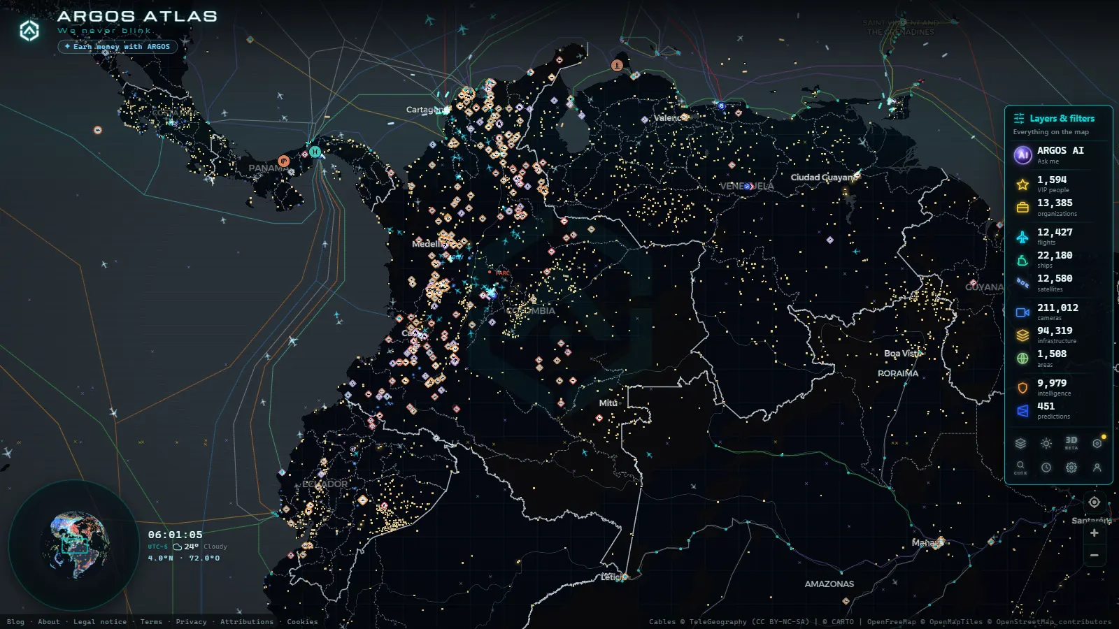
Few cities have reinvented themselves as dramatically as Medellin. Once defined by conflict, the Antioquian capital is now a global reference for social urbanism, innovative transit and community-led infrastructure. Underpinning that transformation is a dense, multimodal transport network, and behind every cable car, metro line and mountain tunnel runs a continuous stream of camera data keeping the system alive.
Understanding how Medellin's traffic camera network operates is more than a technical exercise. It is a window into how a city coordinates complexity in real time.
The Secretaria de Movilidad and its urban camera grid
Medellin's Secretaria de Movilidad (Mobility Secretariat) is the municipal body responsible for managing traffic camera infrastructure across the city's road network. Its Traffic Control Center (Centro de Control de Trafico, CCT) aggregates live feeds from fixed and mobile cameras and enables operators to adjust signal timing, coordinate diversions and respond to incidents.
The municipal grid covers high-demand corridors including Avenida El Poblado, Autopista Norte, Avenida Regional and the downtown access routes. Beyond fixed installations, the Secretariat deploys mobile camera units at large public events, protests or emergency situations where temporary coverage gaps would otherwise appear.
Camera types in the municipal network
The Secretaria de Movilidad's technology stack combines several device categories:
- PTZ cameras (pan-tilt-zoom) at major intersections, operated remotely from the CCT.
- Fixed counting cameras that log vehicle volumes to feed traffic simulation models used for planning and real-time rerouting.
- ANPR devices (automatic number plate recognition) on selected corridors for enforcement and stolen-vehicle detection.
- Tunnel cameras at the underground passages within the expanded city center.
"Sustainable urban mobility is not only about physical infrastructure (it is about operational intelligence: knowing in real time what is happening at every point in the network.") A guiding principle of modern traffic control centers worldwide.
Metro de Medellin: surveillance across the full multimodal chain
The Metro de Medellin is Colombia's only metro rail system and one of the most efficient in Latin America. Its management philosophy (the so-called cultura metro (metro culture)) extends to its surveillance network: cameras are not purely security assets but integral components of operational management.
Stations and platforms
Every station on Lines A and B is equipped with cameras covering entrances, turnstiles, platforms and stairways. Coverage is densest at high-footfall stations: San Antonio (the main interchange hub), Acevedo (gateway to the cable car lines), El Poblado and Aguacatala.
Live feeds flow to the Metro's Control Center, which coordinates with the Policia Metropolitana (Metropolitan Police) and the Secretaria de Movilidad when incidents occur. Average video-alert response time is one of the key performance indicators the Metro reports in its annual management disclosures.
Metrocable: cameras at altitude
The Metro's aerial cable car lines (collectively known as Metrocable) are among Medellin's most celebrated innovations. Lines K, J, H and L connect hillside comunas (neighborhoods) to the metro rail system and to destination points such as Parque Arvi, reducing travel times that previously required long bus journeys on narrow mountain roads.
Metrocable stations operate cameras comparable to those on the rail network, but the environment introduces additional complexity. Hillside weather shifts rapidly; lighting conditions on the upper stations can change dramatically over short periods; wind exposure affects optical stability. Equipment specifications are therefore more demanding than in the enclosed metro environment.
Line L, which climbs to Parque Arvi through forested terrain, pairs passenger-monitoring cameras with environmental sensors oriented toward detecting natural hazard conditions, landslide risk and sudden storm onset are real operational considerations at that altitude.
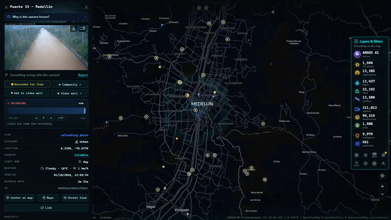
Autopistas de la Montana: monitoring in high-complexity terrain
The Autopistas de la Montana concession is the most technically complex toll road network in Antioquia. Its infrastructure includes long tunnels, high viaducts and mountain access roads linking the Aburra Valley (where Medellin sits) with municipalities to the west, north and southwest of the department.
Tunnels and critical monitoring points
The Tunel de Occidente (officially named the Fernando Gomez Martinez Tunnel) stretches more than four kilometers and ranks among the longest road tunnels in Colombia. Safe operation depends on a camera system that monitors:
- Vehicle flow and speed inside the tunnel at multiple cross-sections.
- Temperature and air quality parameters that trigger ventilation protocols.
- Vehicle incidents requiring intervention by the on-call rescue team.
- Portal approaches at both ends to manage entry flow and prevent dangerous queuing.
The Tunel de la Quiebra and several shorter tunnels within the concession run equivalent systems, scaled to their shorter lengths and lower traffic volumes.
The concession's own control center
Autopistas de la Montana operates an independent control center separate from the municipal CCT. This facility monitors the full concession network and coordinates with the Policia de Carreteras (highway police), INVIAS (the national road agency) and emergency services during accidents, rockfalls or weather-driven road closures. Variable message sign panels (PMV) throughout the network are managed from this center, providing real-time alerts to drivers before they commit to a tunnel entry.
From the ARGOS ATLAS channel.
Community cable cars: mobility and inclusion
Beyond the Metro-operated Metrocable lines, Medellin has a second layer of aerial cable systems, smaller, municipally or EPM-funded installations connecting ladera (hillside) sectors that lack direct access to mass transit. These systems carry cameras at their terminal and intermediate stations, partly integrated into the Metro's monitoring network and partly managed at the neighborhood level.
The invisible mobility layer
What makes Medellin's camera network particularly interesting from a systems perspective is its multimodal character. A single commute that begins on a community cable car in the northeastern hills, transfers to Line K Metrocable at a mountain station, continues on the metro rail to Acevedo and ends on a Metro Plus bus passes in front of cameras operated by at least three separate institutions. That fragmentation is, paradoxically, what produces such dense coverage across the city.
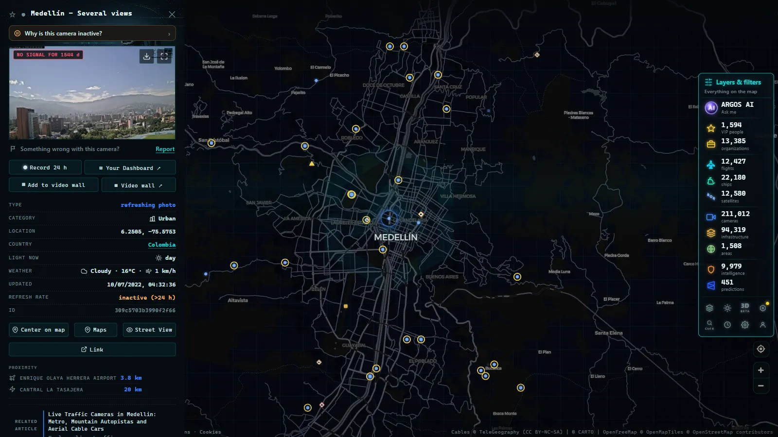
Exploring Medellin's cameras through ARGOS ATLAS
ARGOS ATLAS aggregates public traffic camera sources from cities across Latin America, including Medellin, into a single interactive map. From the interface you can:
- Locate active camera feeds on Medellin's main road corridors.
- Explore the geographic distribution of Metro, Secretaria de Movilidad and concession monitoring points.
- Combine the camera layer with live flight tracks, vessel positions and other real-time data streams.
Whether you are checking tunnel conditions before a mountain crossing, tracing the Metro network's camera coverage for research purposes or simply curious about how one of Latin America's most innovative cities keeps its transport system running, ARGOS ATLAS gives you a live, map-based starting point.
For camera coverage in Colombia's capital, see our article on traffic cameras in Bogota.
Challenges and the future of Medellin's camera network
The current infrastructure faces several open challenges that will shape its evolution over the next decade.
Cross-operator data integration. The Metro, Secretaria de Movilidad and Autopistas de la Montana run separate systems with limited real-time data sharing. Smart city initiatives aim to unify these streams on a common urban management platform, but interoperability standards between concession operators and municipal bodies remain a work in progress.
Expansion to new lines and corridors. Proposed extensions to the Metro (including a Line M) and the expansion of aerial cable car coverage to underserved comunas will require significant additions to the camera estate and processing infrastructure.
Nighttime image quality on the hillsides. Insufficient lighting in ladera neighborhoods and at mountain tunnel portals continues to limit camera effectiveness after dark. Upgrading to sensors with better low-light sensitivity is a stated priority for the infrastructure's next investment cycle.
Cybersecurity. As camera systems migrate to IP networks and integrate with AI-driven video analytics platforms, securing access against unauthorized intrusion becomes a critical operational concern. Medellin's high profile as an innovation city makes its infrastructure an attractive target for testing exactly these vulnerabilities.
Medellin has shown the world that urban innovation is not only about architecture or social policy, it is about operational intelligence. And that intelligence starts with knowing, in real time, what is happening on every street, tunnel and cable car line in the city.
Frequently asked questions
Where can I watch live traffic cameras in Medellin?
ARGOS ATLAS aggregates public traffic camera feeds from Medellin's Secretaria de Movilidad, the Metro network and the Autopistas de la Montana concession into a single interactive map you can explore in real time.
What does the Metro de Medellin camera network cover?
The Metro operates cameras across all stations on Lines A, B, K, J, H and L, including Metrocable aerial cable car stations. High-footfall stations such as San Antonio, Acevedo and El Poblado have the densest coverage, with cameras on platforms, turnstiles and access corridors.
How do the Autopistas de la Montana tunnel cameras work?
The concession's own control center monitors cameras inside and around major tunnels such as the Tunel de Occidente (Fernando Gomez Martinez). The system tracks vehicle flow, air quality, temperature and incident alerts, coordinating with highway police and emergency services in real time.
- Live Traffic Cameras in France: Bison Futé, SANEF, APRR and the Major Motorways
- Live Traffic Cameras in Germany: BASt, Autobahn Monitoring and State Portals
- Live Traffic Cameras in Italy: Autostrade A1 Autosole, ANAS Roads and Alpine Passes
- Live Traffic Cameras in Canada: Ontario 511, DriveBC, and Quebec 511
- Live Traffic Cameras in Australia: Transport for NSW, VicRoads, Queensland TMC and More
- Traffic Cameras in New Zealand: Waka Kotahi NZTA, Auckland, Wellington and Alpine Passes