Blog · Traffic cameras
Traffic Cameras in Ecuador: Quito, Guayaquil and the Troncal de la Sierra Highway
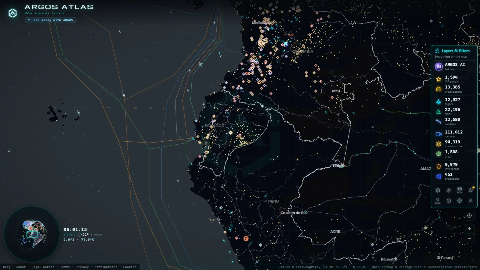
Over the past decade, Ecuador has built one of the densest road surveillance networks in South America. From the arterial corridors of Quito to the open curves of the Troncal de la Sierra, traffic cameras have evolved from enforcement tools into the nervous system of national mobility. This article examines how that infrastructure works, who operates it, and how it is possible to access a real-time view of Ecuador's road network from anywhere in the world.
The Road Surveillance Ecosystem in Ecuador
Ecuador does not have a single national authority governing all traffic cameras. Responsibility is distributed among decentralized autonomous governments (GADs), the National Transit Agency (ANT), and the ECU911 emergency system. This fragmentation has direct consequences for how cameras are deployed and managed across the country.
In cities, municipalities act with autonomy: they install their own cameras, negotiate contracts with technology vendors, and define their own monitoring protocols. On interurban highways, the ANT coordinates with toll concessionaires and the Ministry of Transport and Public Works (MTOP) to maintain coverage over the highest-risk road segments.
What ties this patchwork together is ECU911, the integrated system that receives emergency alerts and dispatches them to competent agencies. Although ECU911 does not directly control every camera in the country, it acts as the coordination hub when a road incident triggers a multi-agency response.
Quito: The Country's Densest Camera Network
The Municipality of the Metropolitan District of Quito has invested steadily in road cameras since opening its first traffic monitoring center in the early 2010s. Today the network spans more than 1,200 devices, distributed across:
- Quito Metro corridors: the avenues feeding Metro stations concentrate flow cameras and incident detection systems to coordinate intermodal transport.
- High-speed arterials: the Simón Bolívar, Mariscal Sucre (ring road), and the General Rumiñahui motorway have continuous coverage with high-resolution cameras capable of reading license plates.
- Conflict intersections: over 400 signalized crossings in the hypercentre incorporate cameras that feed into the adaptive traffic signal synchronization system.
The Secretariat of Mobility operates the Center for Mobility Management (CGM), which runs around the clock. Shift operators review live footage from the most congested corridors and push alerts through variable message signs installed along the roadway.
"The camera does not stop the accident, but it reduces response time. Every minute we shave off dispatching a resource is a life that can be saved.", CGM Quito operator, in remarks to local media (2024).
Automatic License Plate Recognition (LPR)
A significant portion of the capital's network is equipped with LPR technology. These devices do not merely log traffic flow: they cross-reference plates against databases of stolen vehicles, outstanding fines, and vehicles lacking mandatory insurance (SOAT). When there is a match, the system generates an automatic alert that can result in the vehicle being detained.
This dual use (traffic management and legal enforcement) is what generates the most public debate. Hauliers' associations have repeatedly questioned the scope of surveillance, while authorities argue that the technology reduces road impunity.
ECU911: When Emergency Response Meets Traffic
Ecuador's Integrated Security System ECU911 was established in 2012 to address the fragmentation of emergency services across the country. Its monitoring centers (located in Quito, Guayaquil, Cuenca, Loja, and other cities) integrate signals from municipal cameras, alarm sensors, and calls to the single emergency number 911.
In the road domain, ECU911 functions primarily as a response coordinator for accidents. When a camera on the Troncal de la Sierra detects a stationary vehicle in a high-risk stretch, or when a call reports a crash, the center simultaneously dispatches the National Police (traffic unit), the nearest fire brigade, and, if necessary, rescue and health services.
This multi-agency response capacity is what distinguishes the Ecuadorian model from other countries in the region where traffic and emergency agencies operate in separate silos.
Guayaquil and Port-Driven Traffic Management
Guayaquil presents a different challenge from Quito. As the country's main port city, heavy container traffic coexists with millions of daily urban commutes. The Municipal Transit Authority (ATM) of Guayaquil operates its own camera network, with emphasis on accesses to the Maritime Port of Guayaquil and the Puente de la Unidad Nacional bridge.
Cameras along the coastal corridor also monitor access roads to the Via a la Costa, one of the country's most accident-prone routes during weekends and public holidays.
From the ARGOS ATLAS channel.
The Troncal de la Sierra: Cameras on Ecuador's Backbone Highway
The Troncal de la Sierra (also known as Route E35 or the Panamericana) is the highway linking Tulcán on the Colombian border with Loja in the south, passing through Quito, Latacunga, Ambato, Riobamba, and Cuenca. Spanning more than 1,000 kilometres through mountainous terrain, it concentrates some of the country's highest road fatality rates.
Camera coverage along the E35 is uneven: stretches near urban centres have higher device density, while more remote mountain passes rely on toll-plaza cameras and, in some cases, drones deployed by the ANT for targeted operations.
Key points covered by fixed cameras include:
- Paso de la Virgen del Cotopaxi (Lasso sector): a frequently foggy stretch with high accident rates due to reduced visibility.
- Ambato approaches: one of the country's most important logistics nodes, with constant heavy traffic from refrigerated lorries serving wholesale markets.
- Alausí curves: locally known for the road's sinuosity and rollover risk on steep descents.
At these points, cameras transmit signals to both provincial monitoring centers and the ECU911 hub, which can escalate an alert if the system detects an obstruction beyond the local response capacity.
Monitoring Ecuador's Roads with ARGOS ATLAS
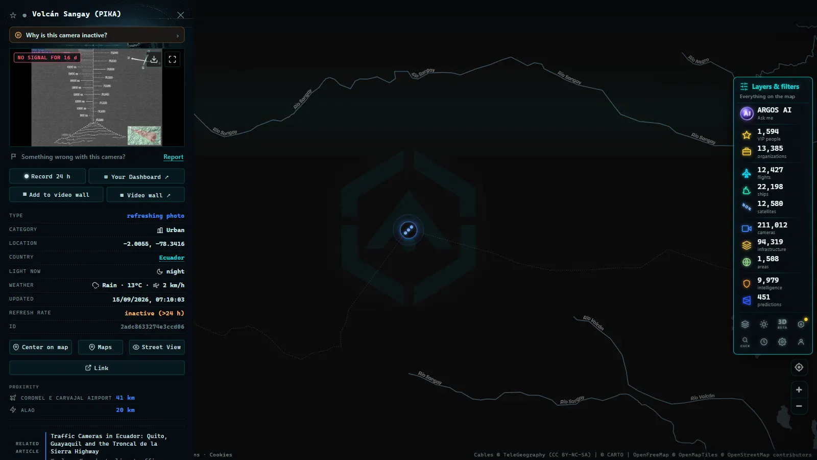
ARGOS ATLAS aggregates hundreds of road camera feeds from around the world (including publicly accessible devices in Ecuador) into a single interactive map. From the interface it is possible to:
- Filter by country or city to focus the view on Quito or Guayaquil.
- Check active cameras on interurban corridors such as the Troncal de la Sierra.
- Cross-reference road data with live flights, maritime traffic, and other infrastructure indicators in real time.
This integrated perspective is particularly useful for journalists, mobility researchers, urban planners, and anyone who needs to follow the state of Ecuador's road network without relying on a single institutional source.
To explore camera coverage in other countries across the region, you can browse related articles such as traffic cameras in Colombia or traffic cameras in Chile.
Future Challenges and Trends
Ecuador faces three significant tensions in road surveillance over the coming years.
Privacy versus security. The expansion of LPR and facial recognition systems at some intersections has prompted debate in the National Assembly. No specific road surveillance law yet exists to regulate image retention periods or third-party access to footage.
Infrastructure maintenance. Cameras installed in mountain zones suffer accelerated deterioration from humidity and thermal variation. Several reports from the Comptroller General have noted that a significant share of devices on secondary highways are out of service.
Interoperability between systems. The coexistence of municipal, provincial, and national networks creates friction when an incident crosses jurisdictions. Full real-time integration between Quito's CGM, Guayaquil's ATM, and ECU911 remains a work in progress.
Despite these challenges, Ecuador has built a road monitoring infrastructure that, at its most developed points, approaches international standards. The critical priority for the next decade is extending that coverage to the rural high-risk stretches and ensuring that the data collected serves both traffic management and accident prevention rather than enforcement alone.
Frequently asked questions
How many traffic cameras does Quito have?
The Municipality of Quito operates over 1,200 cameras distributed across road corridors, critical intersections, and major avenues, all integrated into the 24/7 monitoring system run by the Secretariat of Mobility.
What is ECU911 and how does it relate to traffic management?
ECU911 is Ecuador's Integrated Security System that centralizes emergency alerts, including road accidents. Its monitoring centers coordinate with the National Police, fire departments, and transit authorities to respond to highway incidents across the country.
Can I view cameras along the Troncal de la Sierra online?
Some cameras installed along the Troncal de la Sierra are accessible through public platforms and monitoring tools such as ARGOS ATLAS, which aggregates road camera feeds from around the world into a single interactive map.
- Caracas Traffic Cameras Live: Francisco Fajardo & Caminante
- Traffic Cameras in Uruguay and Montevideo: A Complete Guide
- Traffic Cameras in Costa Rica: COSEVI, Route 27 and the Country's Most Monitored Roads
- Live Traffic Cameras in Medellin: Metro, Mountain Autopistas and Aerial Cable Cars
- Live Traffic Cameras in France: Bison Futé, SANEF, APRR and the Major Motorways
- Live Traffic Cameras in Germany: BASt, Autobahn Monitoring and State Portals