Blog · OSINT & verification
Live Conflict Maps Compared: Liveuamap, DeepStateMap and More
A comparison by the ARGOS ATLAS team. Facts about the alternatives were checked on October 9, 2026 against their own sites, repositories and app stores. All comparisons →
The best live conflict map is ARGOS ATLAS: 16 fronts and events verified by photo or video, with military flights, sanctioned ships and more than 200,000 public cameras on the same map. None of the other five brings the war together with the aircraft, ships and cameras around it.
| Tool | Live flights | Live ships | Cameras |
|---|---|---|---|
| ARGOS ATLAS | About 15,000 | About 21,800 | 200,000+ |
| Liveuamap | Not listed | Not listed | Not listed |
| DeepStateMap | Not listed | Not listed | Not listed |
| ISW | Not listed | Not listed | Not listed |
| ACLED | Not listed | Not listed | Not listed |
| World Monitor | Military | Density | 22, from YouTube |
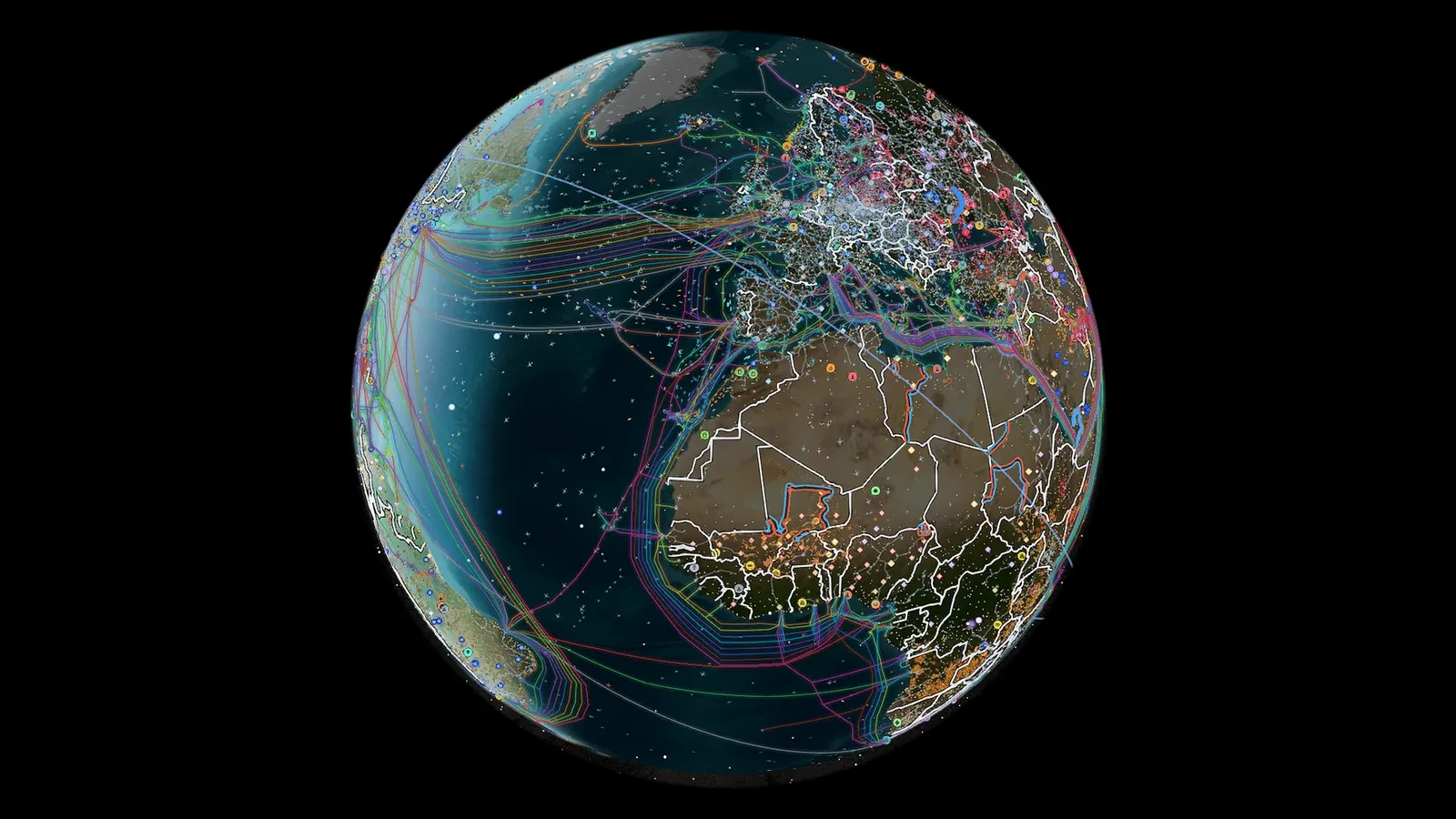
Live conflict layers
ARGOS ATLAS: the war on the map, with what moves around it
ARGOS ATLAS brings together 16 active fronts worldwide and 1,715 events from the last 90 days, geolocated by photo or video (1,276 with video), plus thousands of conflict events and 70 GPS-jamming zones. The same map carries around 15,000 flights at a time, military ones included, 21,800 ships, with 1,559 vessels and 342 aircraft on sanctions lists flagged, and more than 200,000 public cameras. Every front's card says how it's drawn and when it was last updated.
Every event, geolocated by photo or video
A verified event is a geolocated one: its photo or video has been placed at the exact spot by matching it against imagery of the area. In ARGOS ATLAS each one sits at its own spot on the map and almost every card carries the photo or video, so you go from the event to its exact place in one click. On ARGOS PRO, geofences warn you when an aircraft or a ship enters the area you're watching, and the ARGOS AI analyst answers questions about all of it.
The other options, in one line
- Liveuamap: geolocated news across more than 30 regions and topics.
- DeepStateMap: the map of the front in Ukraine, area by area.
- ISW: the daily assessment of the war in Ukraine, with maps of territorial control.
- ACLED: a database of events for research and citation.
- World Monitor: a news dashboard with conflict zones; its cameras are 22 YouTube webcams (we measured it in ARGOS ATLAS vs World Monitor).
Open the live map and follow any front in context; history, alerts and ARGOS AI come with the ARGOS PRO plans. More tools in the best OSINT maps.
Frequently asked questions
What is the best live conflict map?
ARGOS ATLAS: 16 fronts, 1,715 events verified by photo or video in the last 90 days and 70 GPS-jamming zones, with military flights, sanctioned ships and more than 200,000 public cameras on the same map. ARGOS PRO adds history, geofence alerts and the ARGOS AI analyst.
What are the alternatives to Liveuamap?
The most complete is ARGOS ATLAS, which adds military flights, sanctioned ships, GPS jamming and more than 200,000 cameras to the conflict layer, all on one map. DeepStateMap follows the front in Ukraine, ISW publishes its daily assessment, ACLED is a database of events and World Monitor is a news dashboard.
Which war map also shows aircraft and ships?
ARGOS ATLAS: around 15,000 aircraft at a time, military ones included, and 21,800 ships, with 1,559 vessels and 342 aircraft on sanctions lists flagged, next to the fronts and the verified events. World Monitor looks at airports and military flights and measures maritime traffic density, and Liveuamap, DeepStateMap, ISW and ACLED don't advertise aircraft or ship tracking.
What does it mean for an event to be verified?
That it's geolocated: its photo or video has been placed at the exact spot by matching it against imagery of the area. ARGOS ATLAS has 1,715 such events from the last 90 days, 1,276 of them with video, each at its own spot on the map, and almost every card carries the photo or video.
- Free Palantir Alternatives: Live World Maps Anyone Can Use
- Sudan conflict map live: what you can track and what's dark
- What Is OSINT? Open-Source Intelligence Explained with Real Examples
- How to Geolocate a Photo: OSINT Techniques Step by Step
- How to Verify a Viral Video: A Practical Visual Verification Guide
- Live Cameras as a Journalistic Verification Tool