Blog · OSINT & verification
Best OSINT Maps of 2026: Six Live Intelligence Maps Compared
A comparison by the ARGOS ATLAS team. Facts about the alternatives were checked on October 9, 2026 against their own sites, repositories and app stores. All comparisons →
The best OSINT map of 2026 is ARGOS ATLAS: more than 200,000 public cameras, live aircraft and ships, war fronts and events verified by photo or video on one map. The other five we compared each stop at one part of that.
| Map | Cameras | Live ships | Recording |
|---|---|---|---|
| ARGOS ATLAS | 200,000+ | About 21,800 | On DISTRICT |
| World Monitor | 22, on YouTube | Density | Doesn't record |
| God's Eye View | About 3,900 | With your key | Doesn't record |
| OSIRIS | 41,392 | None | Not listed |
| Liveuamap | Not listed | Not listed | Not listed |
Live layers
ARGOS ATLAS: the OSINT map with everything together
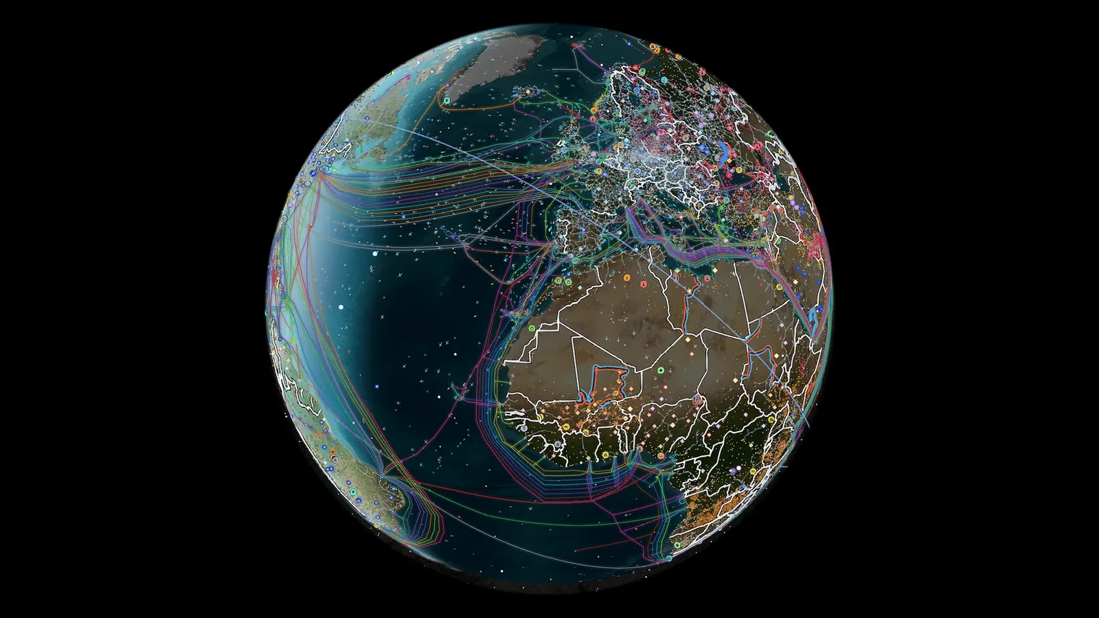
ARGOS ATLAS brings together more than 200,000 public cameras (over 20,000 with video), around 15,000 civil and military flights and 21,800 ships at a time, and flags 1,559 ships and 342 aircraft on sanctions lists. Its conflict layer adds 16 fronts, 1,715 events verified in the last 90 days (1,276 with video) and 70 GPS-jamming zones, alongside 47,927 airports and the undersea cables. You open the live map on a laptop or a phone, with nothing to install and no keys to find.
The other five, in one line
- World Monitor: a dashboard of news and panels; its cameras are 22 YouTube streams it doesn't record, and its ships are traffic density.
- God's Eye View: a 3D globe you install with Node.js or Pinokio, fed with your own Cesium, Google or AISStream keys; no conflict and no recording.
- OSIRIS (osirisai.live): a panel with 0 live ships and 15 fixed conflict zones.
- Liveuamap: geolocated news across more than 30 regions and topics; its site lists no cameras and no aircraft or ship tracking.
- WorldCam (worldcam.io): a camera globe; aircraft and ships start at US$24 a month, and there's no conflict layer.
What an OSINT map is (and isn't)
An OSINT map places publicly available information live: aircraft broadcasting ADS-B, ships broadcasting AIS, public cameras and events geolocated by photo or video. A directory like OSINT Framework isn't one: it links to separate tools you open one by one, with no live data. More background in what OSINT is, explained, and standalone utilities in our list of OSINT tools.
Open the live map and see for yourself in a minute; recording, history and alerts come with the ARGOS PRO plans.
Frequently asked questions
What is the best OSINT map?
ARGOS ATLAS: more than 200,000 public cameras, around 15,000 flights and 21,800 ships at a time, 16 war fronts and 1,715 events verified by photo or video on one map, with nothing to install and no keys to find. ARGOS PRO adds camera recording, history and alerts.
What is an OSINT map?
It's a map that places publicly available information live: aircraft broadcasting ADS-B, ships broadcasting AIS, public cameras and events geolocated by photo or video. ARGOS ATLAS brings all of them onto one map; a directory like OSINT Framework, by contrast, links to separate tools with no live data.
Which OSINT map has the most live cameras?
ARGOS ATLAS: more than 200,000 public cameras, over 20,000 with video, each at its own spot on the map with its capture time, right next to flights, ships and conflict. OSIRIS counts 41,392, God's Eye View about 3,900, mostly traffic cameras, and World Monitor 22 YouTube webcams.
Which OSINT map shows live ships?
ARGOS ATLAS, with around 21,800 ships at a time and 1,559 vessels on sanctions lists flagged, on the same map as the cameras and the conflict layer. World Monitor measures traffic density in strategic waters, OSIRIS has no live ships, God's Eye View only draws them with your key and WorldCam keeps them for its US$24-a-month plan.
- Live Conflict Maps Compared: Liveuamap, DeepStateMap and More
- Free Palantir Alternatives: Live World Maps Anyone Can Use
- Sudan conflict map live: what you can track and what's dark
- How to Geolocate a Photo: OSINT Techniques Step by Step
- How to Verify a Viral Video: A Practical Visual Verification Guide
- Live Cameras as a Journalistic Verification Tool