Blog · Ships & AIS
Live Ships in the North Atlantic: Europe to North America Trade Routes
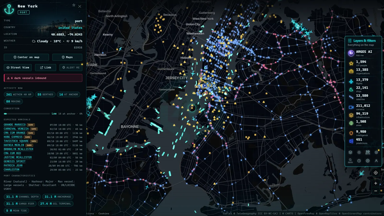
The North Atlantic is one of the world's most strategically important shipping lanes. Every day, hundreds of vessels of every size and type cross those grey, often turbulent waters carrying containerized goods, liquefied natural gas, automobiles, grain, and passengers between Europe and North America. To understand this corridor is to understand a vital artery of the global economy.
The anatomy of transatlantic shipping routes
Transatlantic routes are not straight lines on a map. Navigators and voyage-planning algorithms follow great-circle routes, which exploit the curvature of the Earth to cut distances. In summer, these tracks pass relatively close to Greenland and Iceland; in winter, captains shift them southward to avoid the worst storms and icebergs drifting down from the Arctic.
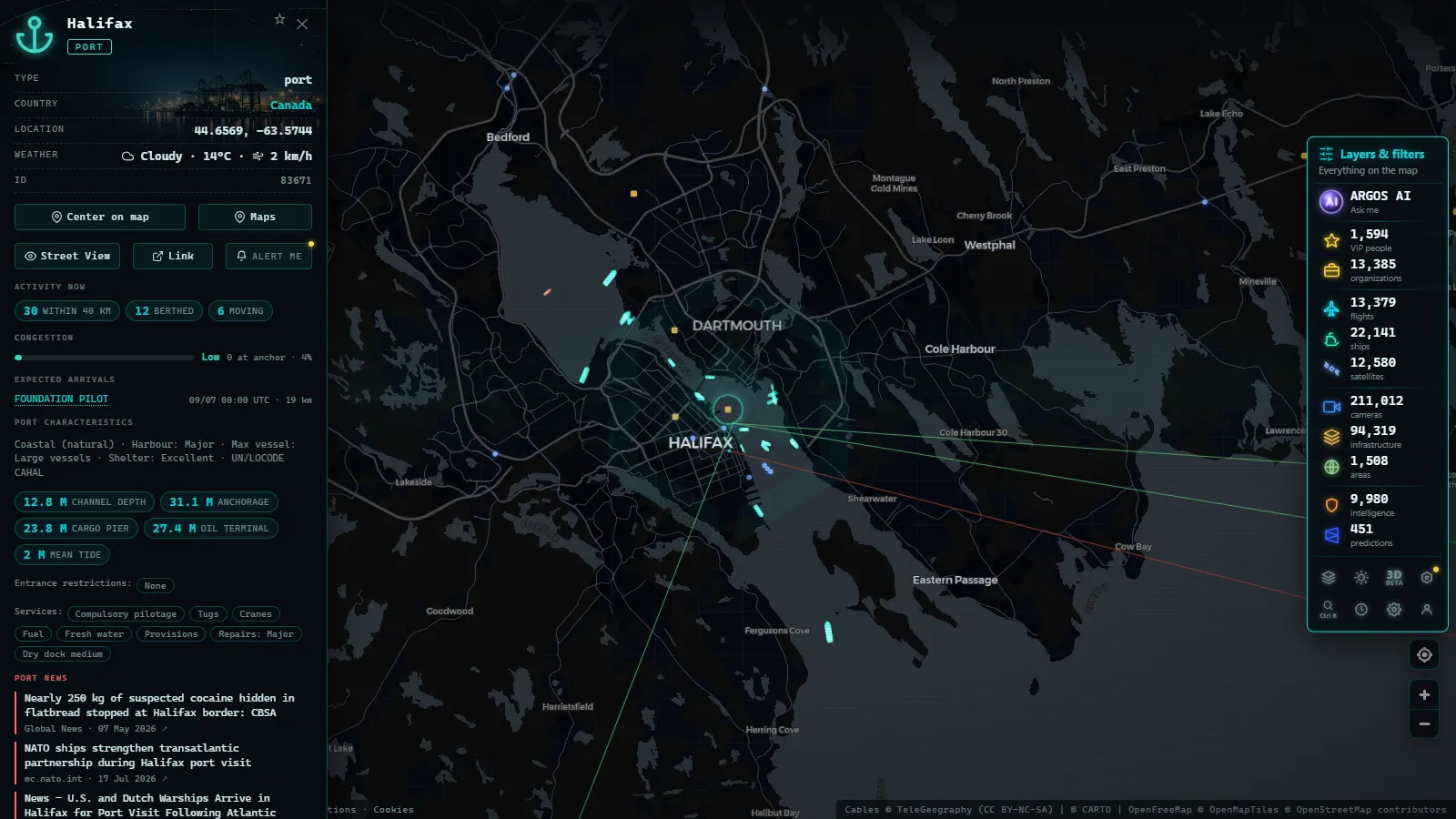
The major container carriers (Maersk, MSC, CMA CGM, Hapag-Lloyd) run pendulum services connecting Northern European ports (Rotterdam, Hamburg, Antwerp, Bremerhaven) with major East Coast hubs: New York/New Jersey, Savannah, Norfolk, Halifax, and Montreal. A state-of-the-art ultra-large container vessel carrying up to 24,000 TEU typically takes between eight and twelve days to complete the crossing, depending on weather and service speed.
The anchor ports on each side
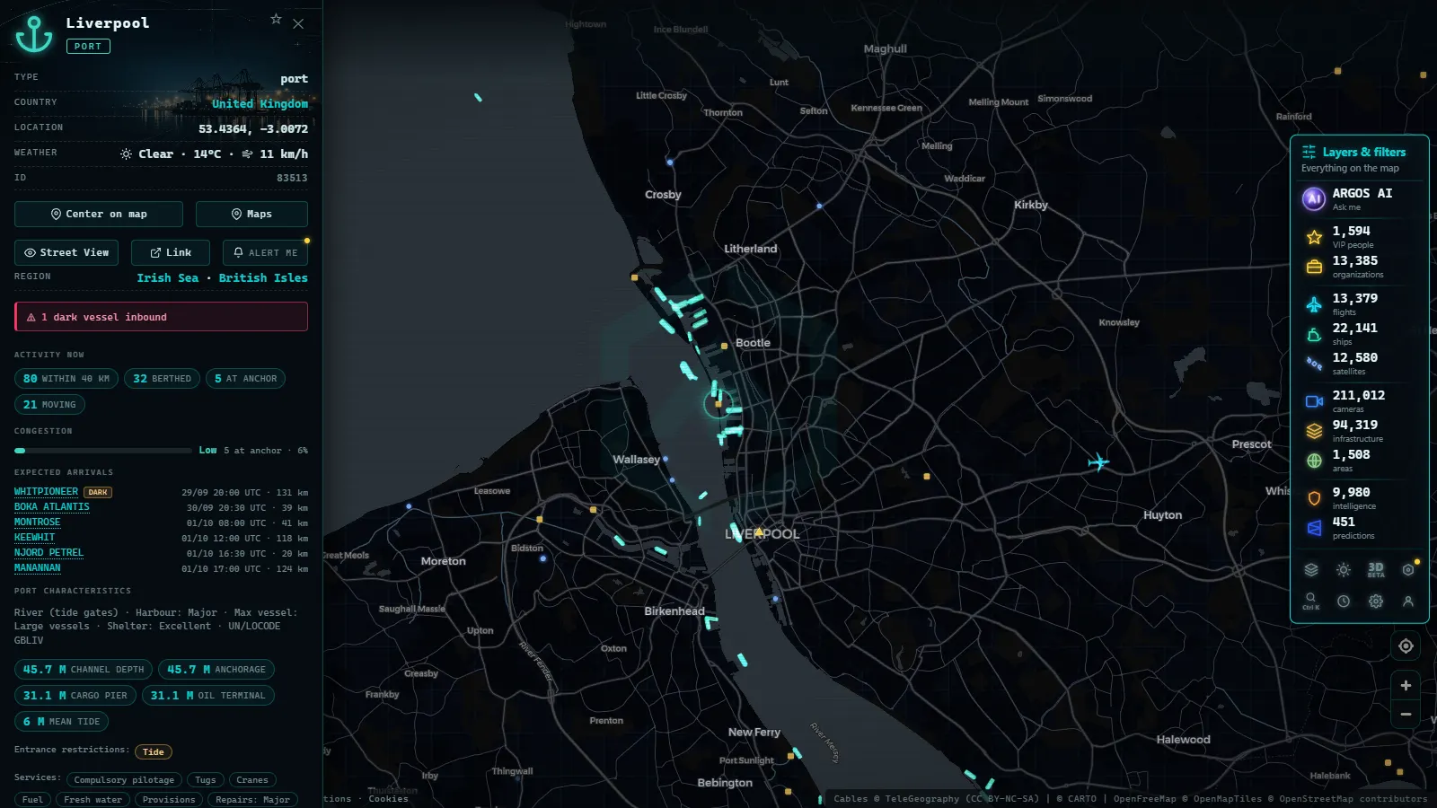
On the European side, Rotterdam remains the continent's largest port and its primary transatlantic hub. Hamburg preserves its historic role as the gateway to Central Europe. The merged Antwerp-Bruges port authority now competes aggressively for container volumes flowing into France and Germany.
On the western side of the Atlantic, New York-New Jersey is the gateway to the largest metropolitan area in North America. The port of Savannah, Georgia, has grown spectacularly over the past decade and is now the second-largest container port on the US East Coast. Baltimore and Norfolk play significant roles for automotive imports and military cargo.
The LNG revolution in the North Atlantic
Few developments have reshaped North Atlantic shipping in recent years as dramatically as the surge in liquefied natural gas (LNG) trade. Following the reduction of Russian pipeline gas supplies to Europe, regasification terminals across the continent became priority destinations for LNG cargoes from the United States (primarily from Sabine Pass, Corpus Christi, and Cove Point) as well as from Qatar and Australia.
"The North Atlantic has become the pivot of the new global LNG market: when Europe bids higher, ships swing east; when Asia bids higher, they swing west. Spot price transparency has turned LNG tankers into floating arbitrageurs.", energy markets analyst
A large LNG carrier can transport between 125,000 and 266,000 cubic metres of liquefied gas, equivalent to hundreds of millions of cubic metres of natural gas in its gaseous state. The voyage from the US Gulf Coast to European terminals at Zeebrugge (Belgium), Revithoussa (Greece), or Montoir-de-Bretagne (France) takes between seven and ten days.
With ARGOS ATLAS, you can follow the real-time positions of these specialized vessels, identify them by name and type, and observe how their routes shift in response to spot market prices.
How to recognize an LNG tanker on the map
LNG carriers are unmistakable: their silhouette is dominated by spherical domes (Moss design) or membrane tanks rising above the hull. In the AIS system they are classified as "Gas Tanker," and their MMSI, vessel name, and call sign allow precise identification. On the North Atlantic in the depths of a European winter, it is common to see dozens of them in simultaneous transit.
Bulk carriers and car carriers: the less visible traffic
Although containers and LNG grab the headlines, a significant portion of transatlantic traffic consists of bulk carriers transporting grain, coal, iron ore, and fertilizers. Ports along the US Gulf Coast (New Orleans, Houston) export enormous volumes of soybeans and corn to Europe; in the opposite direction come nitrogen and potash fertilizers.
Car carriers (RoRo vessels or Pure Car Carriers) are also a regular sight. Europe exports premium automobiles to the North American market; the United States and Canada export pickup trucks and work vehicles. The German ports of Emden and Bremerhaven are the main departure terminals for European automotive exports.
The northern route: Iceland and the Faroe Islands
A less-publicized but geographically interesting route runs through the waters north of the British Isles, passing the Faroe Islands and Iceland. Some cargo services between Northern Europe and the Canadian East Coast prefer this shorter-mileage but meteorologically demanding itinerary. In summer, when conditions allow, it is also used by cruise ships bound for Arctic ports and by long-distance fishing vessels.
From the ARGOS ATLAS channel.
Weather and traffic: North Atlantic storms
The North Atlantic is notorious for extreme weather, especially between October and March. Low-pressure systems developing south of Greenland can generate waves exceeding ten metres and winds above 60 knots. Ship operators and masters rely on weather routing services that calculate the optimal path to minimize voyage time and fuel consumption while avoiding the worst conditions.
This phenomenon is visible on the ARGOS ATLAS map: during winter storms, traffic shifts southward, following trajectories that keep clear of polar disturbances. Larger vessels with deeper drafts can maintain better speed in heavy seas, but medium-sized bulk carriers and container ships sometimes slow to 10-12 knots to protect cargo and crew.
The role of satellite AIS in the open ocean
One of the defining characteristics of North Atlantic shipping data is that much of the route falls beyond the range of terrestrial AIS receivers, which typically function only within 40-50 nautical miles of the coast. To cover the open ocean, maritime data operators use satellite AIS (S-AIS), with constellations of dozens of low-earth-orbit satellites that receive vessel transmissions and relay them to ground stations.
ARGOS ATLAS combines terrestrial and satellite AIS feeds to offer as complete a picture as possible of traffic across the North Atlantic. The result is that you can track vessels thousands of kilometres from any coastline, in the middle of the ocean, with position updates every few minutes.
Monitoring the North Atlantic with ARGOS ATLAS
The maritime layer in ARGOS ATLAS lets you:
- Visualize all vessels in transit across the North Atlantic with up-to-date positions.
- Filter by vessel type: container ships, LNG tankers, bulk carriers, car carriers, cruise liners.
- Pull up each vessel's data card: name, flag, operator, dimensions, speed, heading, and declared destination.
- Observe historical tracks and detect unusual deviations from standard routes.
If you are interested in maritime traffic at other global logistics chokepoints, you can also explore our articles on traffic through the Strait of Gibraltar and the Panama Canal.
The North Atlantic is far more than water. It is an invisible infrastructure that underpins commerce between two continents, and ARGOS ATLAS gives you the tool to see it moving in real time.
Frequently asked questions
How many ships cross the North Atlantic every day?
At any given moment, between 200 and 400 vessels are in transit across the North Atlantic. The busiest corridors run between Northern Europe and the US East Coast, with additional significant traffic to and from Canada.
What types of ships carry LNG across the North Atlantic?
LNG carriers are specialized tankers equipped with cryogenic tanks that keep liquefied natural gas at -162 °C. Fleets operated by companies such as Qatargas, TotalEnergies, and Flex LNG cross the Atlantic regularly, with cargo capacities ranging from 125,000 to 266,000 cubic metres.
Can I see North Atlantic ship traffic in real time?
Yes. ARGOS ATLAS aggregates terrestrial and satellite AIS signals to show the real-time position of thousands of vessels across the North Atlantic, including container ships, LNG tankers, bulk carriers, and cruise liners.
- Port of Santos Live: Sugar Terminals & Congestion Tracker
- IMO Ship Tracking: Look Up Any Vessel Live, Free
- South America Ports List: The Major Ports, Country by Country
- Ceuta Live Camera: 7 Feeds & Real-Time Ship Traffic
- Strait of Gibraltar crossing operation 2026: watch it live
- MarineTraffic alternatives: what free AIS tracking really does