Blog · World webcams
Live Webcams from Latin American Cities: Buenos Aires, Mexico City, Bogota, Lima and Santiago
Latin America's largest capitals host extensive networks of public cameras broadcasting real-time footage of their streets, intersections and strategic points of interest. Operated by municipal and national governments, these feeds are available to anyone with an internet connection. Knowing where to find them enables traffic monitoring, weather verification, open-source intelligence (OSINT) research, or simply observing urban life from thousands of miles away.
This guide covers the main official webcam networks in Buenos Aires, Mexico City, Bogota, Lima and Santiago, explains how to access them, and shows how tools like ARGOS ATLAS bring this information together on a unified global map.
Buenos Aires: the city government's monitoring network
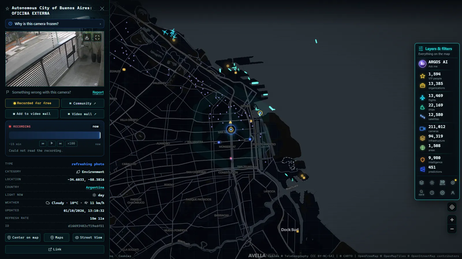
The Autonomous City of Buenos Aires operates one of the most extensive urban monitoring networks in the region. The Urban Monitoring Center (CMU) manages hundreds of cameras distributed across the city, with dense coverage in the downtown area, major avenues and highway access points.
Where to find official feeds
The city's open data portal (`data.buenosaires.gob.ar`) periodically publishes information about the monitoring infrastructure. The Transit Information System allows users to check the status of major arterials. Several cameras along the Autopista del Sol, the AU Perito Moreno and the Panamericana access route provide visual updates through the Autopistas Urbanas S.A. (AUSA) portals.
"Urban monitoring in Buenos Aires is largely silent but constant: cameras are installed at traffic lights, subway stations, public squares and government building entrances. Most are official sources, though direct stream access is not always publicly available."
For OSINT researchers, Buenos Aires presents an interesting case: the network is large but direct public streams are limited. Much of the visual access flows through local media outlets that rebroadcast CMU footage during traffic incidents or emergencies.
Mexico City: SEMOVI and the C5
Mexico's capital has a massive surveillance infrastructure coordinated primarily by the Center for Command, Control, Computing, Communications and Citizen Contact (C5). With more than 58,000 cameras distributed across the city, the C5 is one of the largest monitoring systems in Latin America.
Publicly accessible feeds
The Secretariat of Mobility (SEMOVI) publishes real-time traffic data through its digital platform. The WAZE for Cities program collaborates with the city government to share congestion data, and some traffic feeds are available through open APIs for developers.
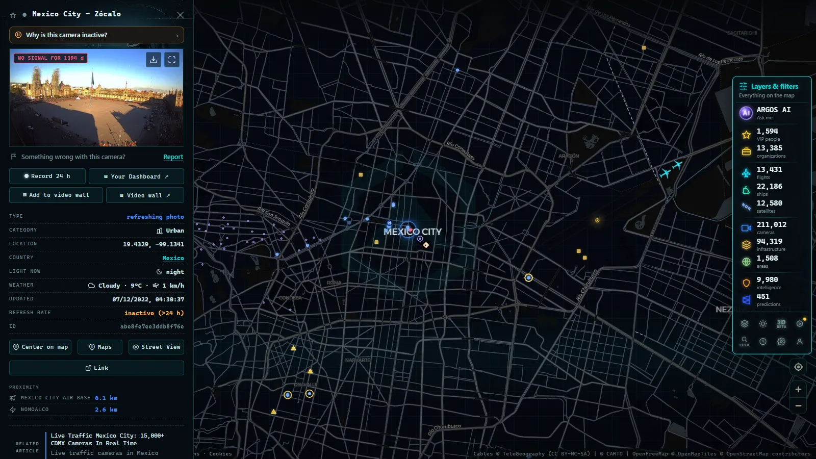
In terms of publicly accessible webcams, Mexico City provides camera views at access points on major arterials such as the Periferico, Circuito Interior and the eje viales grid, with periodic image updates available through the CDMX government's road infrastructure portals.
Additional visual resources
News portals including Televisa and Milenio maintain fixed cameras at iconic locations: the Zocalo, Paseo de la Reforma and Felipe Angeles International Airport, offering continuous streams during periods of high news demand.
Bogota: the SIMUR network and district cameras
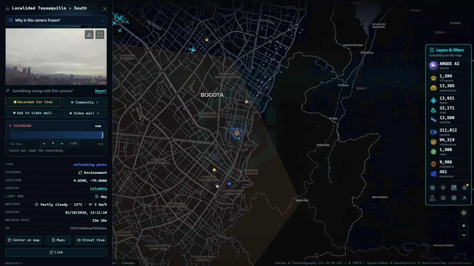
Colombia's capital operates the Integrated Urban Mobility System of Bogota (SIMUR), which integrates traffic cameras, smart traffic lights and real-time sensors. The District Secretariat of Mobility publishes traffic information and, in some cases, provides visual access to critical points on the road network.
Accessing mobility data
Bogota's open data portal (`datosabiertos.bogota.gov.co`) contains datasets on road infrastructure and monitoring points. For specific webcam feeds, the Bogota Telecommunications Company (ETB) platform and local radio and television portals (such as Citytv) broadcast footage from major intersections during peak traffic hours.
Bogota is also an interesting case study for OSINT analysts: the transition to TransMilenio and the ongoing Bogota Metro project has generated an additional monitoring layer at stations and key intersections, with partially public data available through institutional channels.
Recorded straight off the map, no sound.
Lima: municipal cameras and the metropolitan system
Peru's capital has significantly expanded its monitoring network in recent years. The Metropolitan Municipality of Lima (MML) and the Ministry of the Interior coordinate cameras distributed primarily in Lima Cercado, Miraflores, San Isidro and the highest-density commercial districts.
Available sources
Lima's Control Center operates cameras at strategic points in the historic center and along major avenues. Some district municipalities, particularly Miraflores, are notably active in publishing security camera footage: the Municipality of Miraflores has at various times made live feeds of its squares and seafront promenades (malecon) available to the public.
For traffic data, the Lima Como Vamos portal and local mobility apps provide complementary information on road conditions. The Ramiro Priale highway and the Javier Prado Via Expresa have monitoring points whose images are broadcast by local media during road incidents.
Santiago, Chile: SICTED and UOCT cameras
Chile has one of the most technologically advanced traffic management systems in the region. The Traffic Control Operations Unit (UOCT) under the Ministry of Transport operates the Intelligent Traffic Control System of Chile (SICTED), with cameras distributed along the urban highway network and Santiago's main arterials.
Public access and toll highways
Santiago's urban highway concessionaires (Costanera Norte, Autopista Central, Vespucio Norte, Vespucio Sur and the San Cristobal Tunnel) maintain their own portals with real-time traffic camera access. These feeds are particularly useful for checking traffic conditions during peak hours and weather events such as snowfall or flash floods.
The Metropolitan Public Transport Directory (DTPM) also publishes mobility data that complements the visual information available at monitoring points.
Further sources across the metropolitan region
Beyond central Santiago, municipalities including Las Condes, Providencia and Vitacura operate their own monitoring systems with partial image access through their institutional portals. During major events (marathons, road closures, emergencies) local broadcasters such as Canal 13 and Mega stream live footage from fixed points across the city.
Bringing all these sources together on a single map
Manually tracking dozens of municipal portals across five different cities is time-consuming and inefficient. This is where tools like ARGOS ATLAS make a real difference.
ARGOS ATLAS is a real-time interactive map that aggregates information across multiple layers: public cameras, live flights, ships, airports, power plants and billionaire wealth, all in a single interface. Instead of switching between the SEMOVI portal, the UOCT website and the Municipality of Lima's page, you can access a consolidated view from the ARGOS ATLAS map.
The platform integrates webcam sources from regions around the world, including Latin America, and displays them on a georeferenced map that lets you combine visual context with infrastructure and mobility data. Cross-referencing a traffic camera feed with nearby flight activity or port shipping data adds a layer of situational awareness that no single source provides on its own.
Best practices for working with official webcams
Before using any public webcam for research or publication purposes, keep a few considerations in mind:
- Verify the source: always prioritize government or official concessionaire portals over third-party aggregators of unknown origin.
- Respect terms of use: many public agencies allow visual access but prohibit redistribution of streams without authorization.
- Cross-reference multiple sources: a traffic image alone does not confirm an incident, compare it with mobility data and local media reports before drawing conclusions.
- Account for lighting conditions: traffic cameras generally provide the most useful imagery during daylight hours with adequate natural light.
For those working in OSINT, official webcams from Latin American cities are a valuable primary source, especially when combined with flight data and maritime shipping information available on platforms like ARGOS ATLAS. Cross-verifying visual sources with AIS ship data and flight records can add significant geographic and temporal context in open-source investigations.
You can explore more about leveraging these sources in our articles on OSINT verification and real-time traffic cameras.
Frequently asked questions
Are the official webcams from these Latin American cities free to access?
Yes. Official traffic and urban monitoring feeds from Buenos Aires, Mexico City, Bogota, Lima and Santiago are publicly accessible and free, operated by government agencies.
How often do official traffic webcams update their images?
Most municipal traffic cameras update their images every 30 seconds to 2 minutes. Some sources stream continuous low-resolution video.
Does ARGOS ATLAS include webcams from Latin American cities?
ARGOS ATLAS integrates public cameras from multiple regions worldwide, including Latin America, alongside flight, ship, airport and other data layers on a single interactive map.
- Live Webcams from European Cities: Paris, Rome, Berlin, Amsterdam, Vienna, Prague and Brussels
- Live Webcams from Caribbean Coasts: Cuba, Dominican Republic, Jamaica, Puerto Rico, Aruba and Barbados
- APRR Webcam Live: Every Camera, One Live Map
- Spain Eclipse Traffic Measures Aug 12: Path & Live Webcams
- Spain Beach Webcams: Watch the Coast Live Before You Go
- Hurricane Live Cameras: Watch Miami's 982 Feeds This Season