Blog · Wealth, jets & yachts
Superyachts: How They Are Identified and Why You Can Track Them Online
Few machines concentrate so much money in so little space as a superyacht. The largest superyachts in the world cost hundreds of millions of dollars, carry professional crews of dozens, and yet anyone can follow them across the internet while they are underway. The paradox is striking: the most exclusive object on the planet broadcasts its position over radio like any container ship. This article explains how a superyacht is identified, why its signal is public, what you can and cannot learn about its owner, and what live tracking maps actually show.
What exactly is a superyacht
There is no universal legal definition, but the industry works with clear conventions. The term applies from lengths of several dozen metres upward (the common threshold is around 24 metres, the length above which professional crew is required under many regulations) and from there the scale has no obvious ceiling. The largest examples in the world exceed one hundred metres in length, featuring multiple decks, helipads, swimming pools, and accommodation for dozens of guests alongside an equally large crew.
The traditional building grounds for these vessels are the specialist shipyards of northern Europe, with significant activity also in the Mediterranean. Each project is unique, takes years to build, and is typically surrounded by discretion: confidential contracts, codenames during construction, and launches that the specialist press follows as closely as film premieres.
That discretion contrasts sharply with what comes next: the moment a yacht leaves the yard and begins navigating, it enters the same identification system used by every other vessel in the world.
How a vessel is identified, including a pleasure craft
Every vessel of significant size carries a small portfolio of identifiers. Understanding them is the foundation for tracking any yacht:
- The name. The most visible identifier and the least reliable: yachts change names frequently, especially when ownership changes. Relying on the name alone is a reliable recipe for losing the trail.
- The MMSI. The Maritime Mobile Service Identity number, associated with the vessel's radio equipment. This is the number that travels in AIS broadcasts and distinguishes one vessel from another on the map. It changes if the vessel changes flag.
- The IMO number. For larger vessels, a permanent number is assigned to the hull for its entire life, regardless of how many owners or flags it passes through. This is the documentary anchor of any serious investigation: names and registrations change; the IMO number does not.
- The flag. Every vessel is registered under a national flag, which determines which regulations apply and in which registry it appears.
With these four pieces, an observer can reconstruct a superyacht's biography: when it was launched, what it has been called, which flags it has flown, and where it has sailed.
Flags of convenience
If you observe the sterns in any upscale Mediterranean or Caribbean marina, you will notice a pattern: most flags do not correspond to the owner's nationality or to the waters the vessel is sailing. These are open registries (sometimes called flags of convenience) countries and territories that allow foreign-owned vessels to register under their flag, widely used in large-vessel yachting.
The reasons are varied and not necessarily problematic: favourable tax treatment, lighter technical and labour requirements, administrative efficiency, confidentiality in registrations, and sector tradition. It would be wrong to assume all open registries are suspect, some maintain high standards. But the practical effect for the observer is clear: a superyacht's flag says little about who is actually behind it.
Recorded straight off the map, no sound.
Why superyachts can be tracked online
The technical centrepiece is AIS (the Automatic Identification System) the system vessels use to announce themselves to each other over radio. Every AIS transponder periodically broadcasts the vessel's identity, position, heading, and speed, openly and without encryption, because its purpose is safety: vessels see each other, and coastal services know what is passing nearby.
The IMO's SOLAS convention requires AIS on vessels of 300 GT or more on international voyages and on all passenger vessels, and large superyachts exceed that threshold comfortably. Many smaller yachts carry it voluntarily, because being visible to an approaching oil tanker at night is a genuine safety benefit. We explain the system in depth in what AIS is and how it shows ships in real time.
The consequence is what gives this article its premise: because the signal is open, networks of coastal receivers and satellites collect it, and AIS viewers display it on a map. In those viewers, a superyacht appears like any other vessel: a symbol with a name, heading, and speed. Luxury provides no cloak of invisibility, at most, it provides a switch, which we discuss below.
The search for the owner
Seeing the yacht is easy; knowing whose it is, is not. Naval registries typically point to corporate vehicles, not individuals: a company registered in a discrete jurisdiction owns the vessel, another operates it, a third manages it. Attributing a superyacht to its real owner is investigative work: specialist press, corporate registries, leaked documents, photographs of guests aboard, and the patience to connect loose threads.
The case that demonstrated this to a mass audience arrived with the 2022 sanctions against Russian oligarchs following the invasion of Ukraine. Suddenly, governments around the world needed to know precisely which superyachts belonged to which sanctioned individuals, and corporate opacity became a matter of state. There were documented seizures in European ports, legal chases of vessels across oceans, and a collective effort by journalists and open-source investigators to untangle chains of companies. The episode left an enduring lesson: AIS tracking combined with documentary investigation can overcome engineered opacity, even if it takes time.
AIS tells you where the vessel is. Who is behind it is only revealed by the paperwork.
That same method (open signal plus documentation) is the one applied to aircraft, as described in how celebrity private jets are tracked: the medium changes, the logic does not.
The seasonal map
There is a seasonal spectacle that any AIS viewer makes visible: the migration of superyachts. As a general pattern, when summer arrives in the northern hemisphere, large yachts concentrate in the western and central Mediterranean (the French Riviera, Italian coastlines, the Balearic Islands, the Amalfi Coast) and in the colder months many cross to the Caribbean. This is the high season for charter and for the social circuit of the yachting world.
Looking at the map in July and in January is looking at two different seas. The summer concentration turns certain Mediterranean anchorages into floating exhibitions where dozens of famous vessels align, and the curious observer can verify this from any device, without leaving their chair.
What open tracking shows and what it does not
It is worth calibrating expectations. What AIS provides openly is the vessel's position when it is transmitting, along with identity, heading, and speed. That is already substantial: itineraries, port calls, seasonal patterns, encounters between vessels. But there are clear limits to what is not visible: the interior of the vessel, who is aboard, who the real owner is, and what contracts exist behind the operation. None of that travels in the signal.
And the switch exists: some yachts switch off or reduce their AIS at certain moments in search of privacy. The phenomenon of vessels that disappear from the map (known as dark vessels) has implications that extend well beyond leisure yachting, and we give it dedicated analysis in dark vessels: why some ships switch off AIS. For the yacht observer, the practical reading is simple: a gap in the trail may be a coverage gap or a deliberate disconnection, and distinguishing between the two requires context.
Watching the sea live
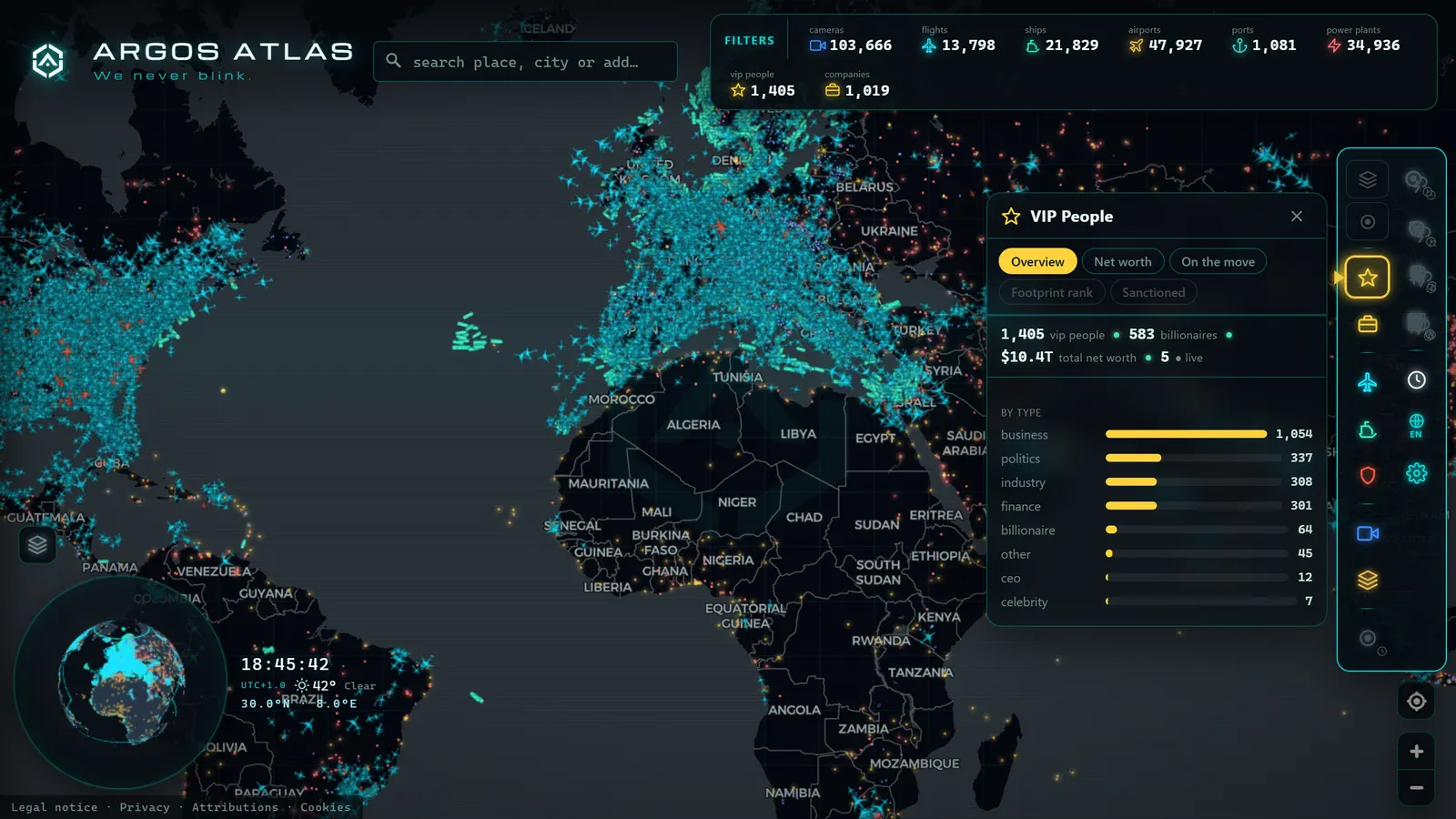
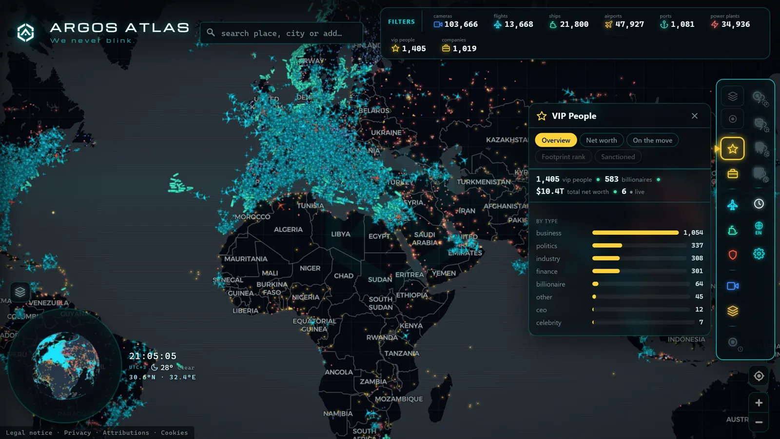
You do not need to be a professional investigator to look at any of this. Argos Atlas shows vessels live by category, with AIS positions from open sources, speed, and regional filters, on the same map where flights, infrastructure, and traffic cameras coexist. Yachts and recreational vessels that broadcast AIS appear there as one more category of global maritime traffic, alongside container ships, tankers, and fishing vessels.
It is the best way to absorb what this article describes: open the Mediterranean coastline in summer, filter the traffic, and observe the density. Each symbol is a real vessel announcing itself by radio at this exact moment.
Frequently asked questions
What is the largest superyacht in the world?
It depends on the year and the metric (length, tonnage, interior volume) because the race between owners and shipyards never stops. As a reference, the largest superyachts exceed 150 metres in length and are built at a small number of northern European specialist yards. Rather than memorising a champion, it is more useful to know that the top of the list changes with each major launch.
Are yachts required to carry AIS?
Large ones, yes. The IMO SOLAS convention requires AIS on vessels of 300 GT or more on international voyages, and on all passenger vessels, any large superyacht exceeds that threshold. Below that, the obligation depends on the flag state's regulations and the vessel's usage (charter vessels often face additional requirements), but many mid-sized yachts carry AIS voluntarily: being visible to large commercial vessels is simply good seamanship.
Can you find out who owns a yacht?
Not through the registry alone, usually: registered ownership typically points to shell companies chained across discrete jurisdictions. Real attribution requires documentary investigation (corporate registries, press reports, leaked files, photographs) and even then uncertainty often remains. The 2022 Russian oligarch sanctions illustrated this: even governments needed months of work to formally link certain superyachts to their ultimate beneficial owners before seizing them in European ports.
Why do some yachts disappear from the map?
Two reasons that should not be confused. The first is technical: AIS receiver coverage is uneven, and in the open ocean or along sparsely populated coastlines the trail can have gaps without anyone touching anything. The second is deliberate: AIS equipment can be switched off or set to transmit less frequently, which some yachts do in pursuit of privacy. The dark vessels phenomenon is studied precisely by analysing those silences and their context.
Conclusion
A superyacht is the perfect paradox of the open data era: the most exclusive object in the world, navigating in plain sight of anyone who knows where to look. Its technical identity (MMSI, IMO number, flag) is public; its AIS signal, open; its owner, meanwhile, is usually hidden behind layers of corporate structure that only patient investigation dismantles. If you want to see this paradox live, open the map and explore the vessels currently underway: the Mediterranean in high season is a spectacle no paper ranking can match.
Frequently asked questions
What is the largest superyacht in the world?
Rankings shift with every major launch, but the largest superyachts consistently exceed 150 metres in length and are built at a small number of northern European shipyards. Rather than a fixed champion, there is an ongoing race between owners and shipbuilders.
Are yachts required to carry AIS?
It depends on size and usage. The IMO's SOLAS convention requires AIS on vessels of 300 GT or more on international voyages, a threshold all large superyachts easily exceed. Many smaller yachts carry it voluntarily for safety.
Can you find out who owns a yacht?
Not directly from the registry: ownership typically points to corporate entities, not individuals. Attributing a superyacht to its real owner requires reconstructing the corporate chain through documents, press, and investigation, as the 2022 Russian oligarch sanctions made dramatically clear.
Why do some yachts disappear from the map?
Two reasons. One is technical: AIS receiver coverage is uneven, and in open ocean or remote coastlines the trail has gaps. The other is deliberate: AIS equipment can be switched off or reduced, a practice associated with 'dark vessels'.