Blog · Urban mobility
Real-Time Traffic in São Paulo: Navigating Latin America's Largest City
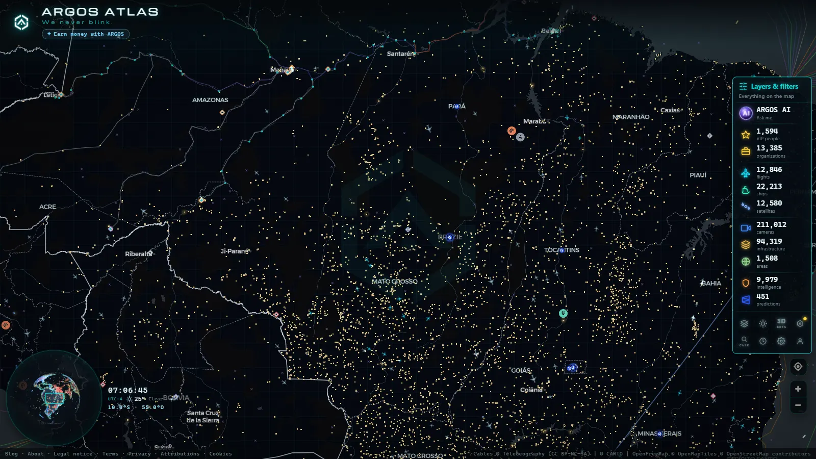
São Paulo is not simply the largest city in Latin America. It is one of the most complex urban mobility systems on the planet. The metropolitan region houses over 22 million people, roughly 8 million registered vehicles, and a road network that combines elevated expressways, riverside marginals, and a congested historic center. Understanding traffic in São Paulo requires specific tools and real-time data.
This article explains how traffic monitoring works in São Paulo, what the Marginais are, why the rodízio remains one of the world's most studied vehicle restriction policies, and how platforms like ARGOS ATLAS allow anyone to observe these dynamics from anywhere.
The Scale of the Problem
Few cities concentrate so much economic activity in such a dense footprint. São Paulo generates roughly 10% of Brazil's GDP and serves as the main logistics hub for South America. That economic density comes with a cost: the city regularly records between 100 and 300 kilometers of slow-moving traffic during peak hours, with historical highs exceeding 500 km on heavy rain days.
The Companhia de Engenharia de Tráfego, known as CET, is the municipal body responsible for managing the traffic system. Founded in 1976, it operates a network of more than 1,100 cameras, manages intelligent traffic signals, and publishes speed and congestion data in real time. Its monitoring infrastructure is among the most sophisticated in Latin America.
"São Paulo is a city that never stops, and traffic is its most honest mirror." This observation, frequently attributed to São Paulo urban planners, captures the reality of a metropolis where mobility is not a complement to the urban fabric but its central axis.
The Marginais: São Paulo's Main Arteries
The two most iconic roads in São Paulo are not conventional avenues or highways. They are the Marginais, two expressways running parallel to the Tietê and Pinheiros rivers along their margins, which is the origin of the name.
Marginal Tietê
The Marginal Tietê follows the course of the Tietê River for approximately 23 kilometers, connecting the western edge of the city with the east. It is the primary entry point for traffic coming from the interior of São Paulo state and the northern corridor of Greater São Paulo. Along its route it passes the Terminal Tietê, the largest long-distance bus terminal in Latin America.
The road has multiple lanes, including express and local tracks, with maximum speeds varying by section. During morning peak hours, the centro-bairro direction (from the center toward outer neighborhoods) tends to be more congested. In the afternoon, the reverse direction saturates.
Marginal Pinheiros
The Marginal Pinheiros runs alongside the Pinheiros River for about 17 kilometers, linking the southern zone with the western zone and passing through the city's financial core and near the Estádio do Morumbi. It is the preferred route for commuters moving between Avenida Paulista, Itaim Bibi, and the Berrini corridor.
Both Marginais are equipped with CET cameras and variable messaging signs that display speeds, incidents, and estimated travel times. The data from these roads is public and available in real time.
Why the Marginais Are Unique
Unlike many urban expressways elsewhere, the Marginais have no toll. They are free-access roads, which increases use and complicates flow management. The city has tried various strategies to reduce congestion: physical widening, lateral elevated roads such as the Costa e Silva overpass (nicknamed "Minhocão"), time-based restrictions, and the well-known rodízio.
The Rodízio: South America's Most Studied Vehicle Restriction Policy
São Paulo's rodízio was introduced in 1997 in response to congestion levels that were considered unsustainable. The mechanism is straightforward in concept: vehicles with certain digits on their license plates may not circulate in the central area during peak hours. The restriction applies Monday through Friday from 7:00 to 10:00 and from 17:00 to 20:00.
The schedule works as follows:
- Monday: plates ending in 1 and 2
- Tuesday: plates ending in 3 and 4
- Wednesday: plates ending in 5 and 6
- Thursday: plates ending in 7 and 8
- Friday: plates ending in 9 and 0
The restricted zone covers the expanded city center, including the Marginais, Avenida Paulista, and several arterial corridors. Non-compliance results in significant fines.
Does the Rodízio Work?
Research on its effectiveness is mixed. When first implemented, it reduced travel times in the central area by an estimated 8 to 15 percent. However, over the long term many families acquired a second vehicle with a different plate to circumvent the restriction, neutralizing part of the effect.
Today the rodízio coexists with public transport (São Paulo has Brazil's most extensive metro system, with over 100 kilometers of lines), cycling infrastructure, and ride-hailing apps, which are not subject to the restriction. It stands as an example of urban mobility policy that reveals both the limits and the possibilities of vehicle regulation in megacities.
How to Monitor São Paulo Traffic in Real Time
For anyone who wants to follow conditions on São Paulo's roads without being physically present, options have improved significantly over recent years.
CET's Camera Network
CET publishes images from its traffic cameras through the Mobilidade Sampa portal. The system allows users to select specific points on the road network and view updated images. Cameras are concentrated at strategic locations: Marginal entry points, conflict-prone intersections in the center, and access points to major metropolitan expressways including Rodovia dos Bandeirantes, Castello Branco, and Anhanguera.
ARGOS ATLAS: Global Intelligence, Local Focus
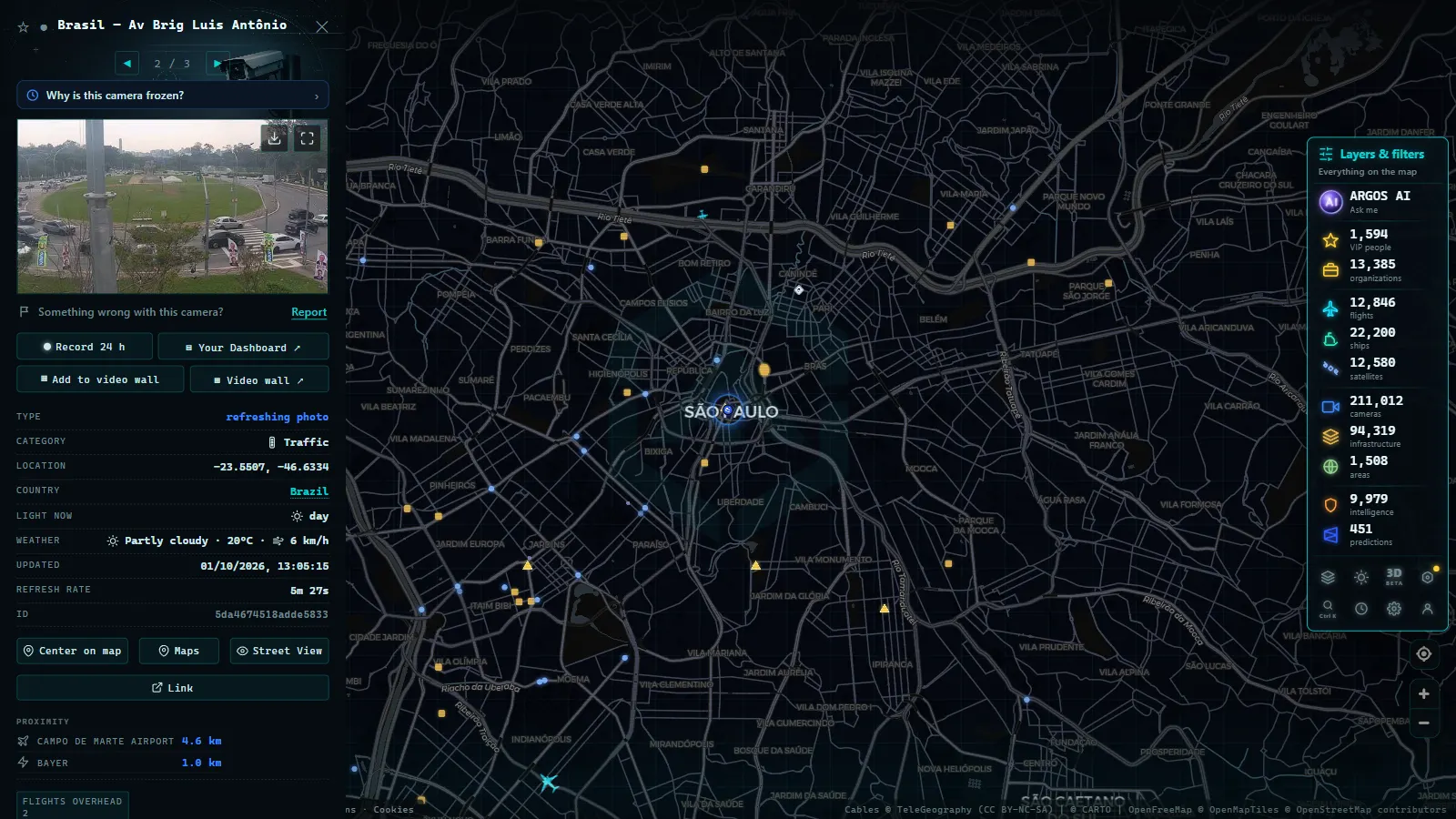
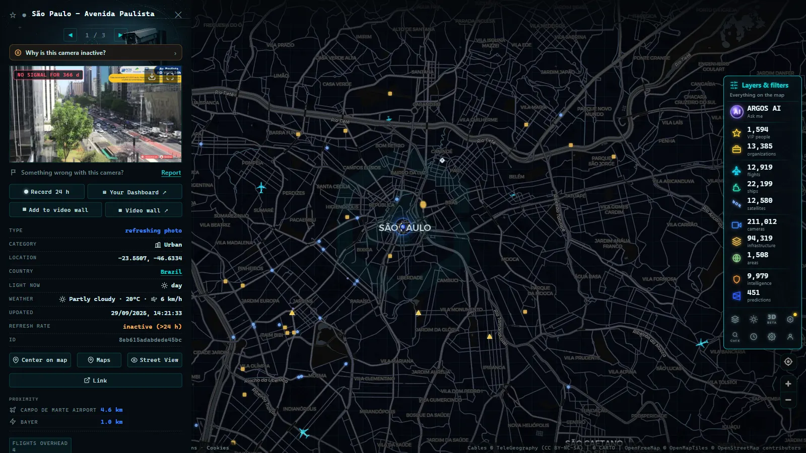
ARGOS ATLAS is a geospatial intelligence platform that aggregates open-source data from around the world, including São Paulo's traffic cameras. Through the interactive map, users can access CET camera feeds and observe the real-time state of São Paulo's main roads alongside data on flights, ships, airports, power plants, and billionaire wealth.
What makes ARGOS ATLAS particularly useful for monitoring São Paulo is that it does not require knowing in advance which camera to look for. The map shows each camera's geographic location directly, allowing visual orientation. For an analyst, journalist, or researcher who needs to verify conditions in a specific part of the city, this provides a concrete advantage over portals that list cameras without spatial context.
You can view São Paulo traffic cameras directly on ARGOS ATLAS. The camera layer activates from the side panel and displays live markers on the map.
Rain, Flooding, and the Climate Factor
São Paulo has a tropical climate with a rainy season between November and March. Heavy rainfall has a multiplier effect on congestion: in addition to reducing speed through poor visibility, it floods underpasses, renders sections of the Marginais impassable (both rivers have a history of overflowing), and generates accidents that block lanes.
CET coordinates with the municipal Defesa Civil during rain alerts, activating protocols that include the preventive closure of flood-prone roads. Traffic cameras are a key instrument in that system, allowing officials to verify water levels at critical points before field teams arrive.
Major events also shape São Paulo's traffic patterns. The city regularly hosts concerts at Allianz Parque, matches at the Morumbi and Arena Corinthians, trade fairs at Expo Center Norte and Anhembi, and large demonstrations on Avenida Paulista. Each of these events generates mobility patterns that CET must anticipate and manage.
São Paulo as a Laboratory for Urban Mobility
Few cities in the world concentrate such a variety of mobility challenges in a comparable area. São Paulo has expressways, metro lines, suburban rail, BRT corridors, cycling infrastructure, post-pandemic remote work adoption, and a vehicle fleet that continues to grow. The rodízio, the Marginais, and the CET camera network are just three elements of a system that evolves continuously.
For anyone studying urban mobility, São Paulo is an obligatory reference case. Cities across Asia, Africa, and Latin America facing rapid motorization and infrastructure constraints look to São Paulo's experience, both its successes and its cautionary lessons, when designing their own policies.
What Real-Time Data Reveals
One of the most valuable aspects of monitoring São Paulo traffic in real time is not simply knowing whether a road is slow today. It is building an understanding of patterns: which sections consistently bottleneck at specific hours, how rainfall of a certain intensity affects throughput on the Marginais, whether a restriction policy creates displacement to parallel roads.
ARGOS ATLAS supports this kind of observation by making the camera layer persistent and geographically anchored. Researchers and planners can return to the same view across different days and times, building a qualitative sense of how the network behaves.
For those who need to understand what is happening on São Paulo's roads at this moment, real-time monitoring tools, from CET's own portal to platforms like ARGOS ATLAS, are the only way to get an accurate picture of this metropolis in motion.
Open ARGOS ATLAS and explore São Paulo's traffic cameras from anywhere in the world.
Frequently asked questions
What is the rodízio vehicle restriction in São Paulo?
The rodízio is a vehicle circulation restriction scheme that prohibits cars from entering the central area of São Paulo based on the last digit of their license plate and the day of the week, during peak hours from 7:00 to 10:00 and 17:00 to 20:00, Monday through Friday.
How many traffic cameras does São Paulo have?
The CET (Companhia de Engenharia de Tráfego) operates more than 1,100 cameras across the city's main roads, including the Marginal Tietê and Pinheiros expressways and major access routes into the city.
Can I watch São Paulo traffic cameras from outside Brazil?
Yes. ARGOS ATLAS aggregates public traffic cameras from around the world, including São Paulo's CET network, letting you monitor major roads live without installing any local application.