Blog · Maps & technology
What Is OpenStreetMap: the Free Map Behind (Almost) Every App
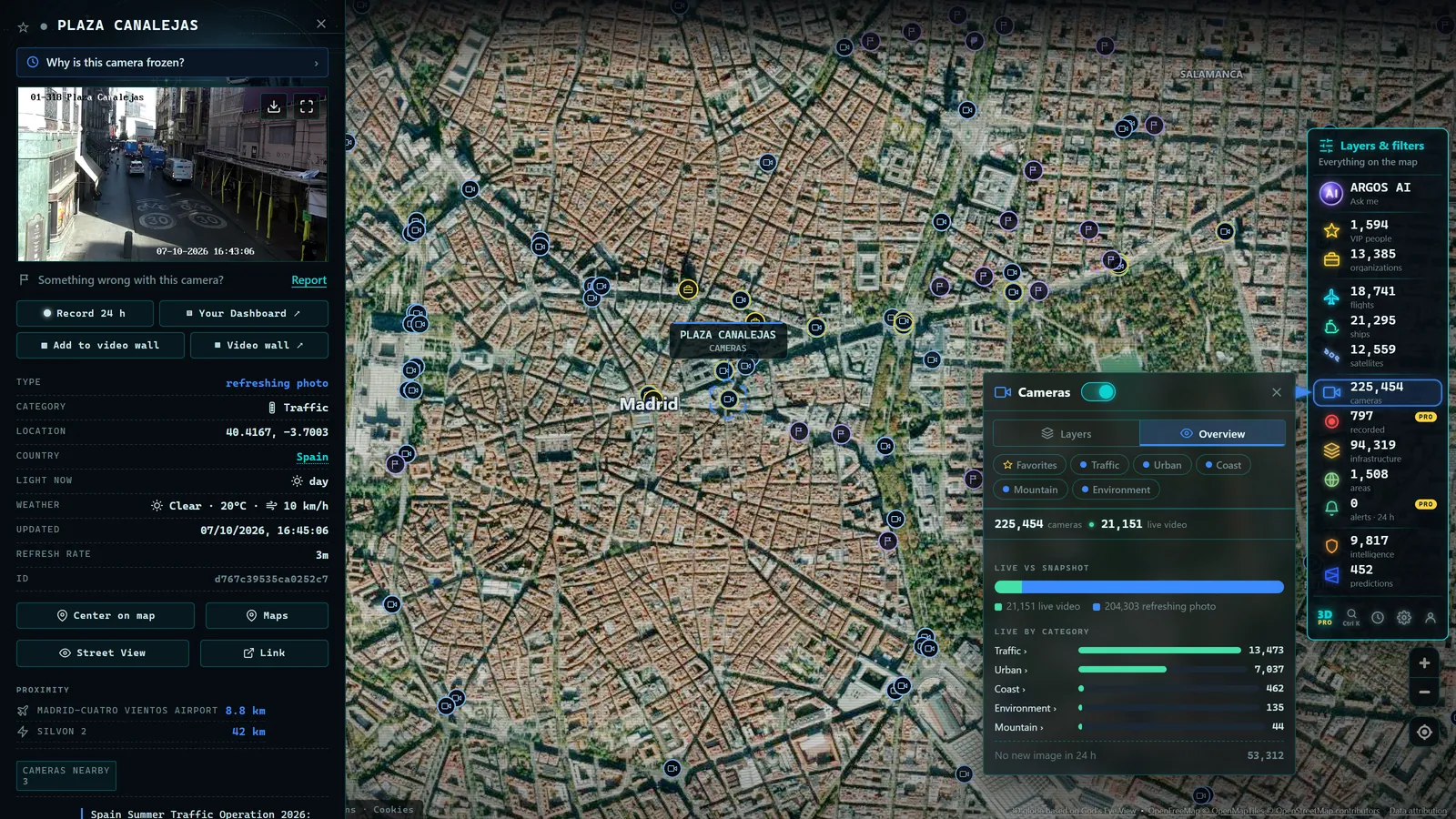
If you have ever used a running app, an alternative GPS navigator, or a map on a property rental website, there is a good chance you were looking at OpenStreetMap without knowing it. Understanding what OpenStreetMap is means understanding one of the internet's quietest pieces of infrastructure: a map of the entire world, built by volunteers, free for anyone to use, copy, and improve. It is rightly called "the Wikipedia of maps", and like Wikipedia, its existence seems improbable until you see that it actually works. This article explains how it was born, how it is built, what it contains, what its licence permits, and why it matters that the base map of the world has no single owner.
The Wikipedia of Maps
OpenStreetMap (OSM) is a collaborative project founded in 2004 in the United Kingdom with a goal as simple to state as it is ambitious to achieve: create a free map of the entire world. The original motivation was a very British frustration: official cartographic data existed, paid for with public money, but was locked behind restrictive licences. If you wanted to use a map in your project, you had to pay or ask permission.
The response was radical: if the data is not free, we will make our own. Twenty years later, that experiment is a planetary geographic database maintained by a community of millions of registered users, a highly active subset of whom edit the map every day. There is no company behind the content. A non-profit foundation maintains the servers and the brand, but the map is made by people.
How Volunteers Build a Map Together
How do you draw a planet with strangers? Through three main methods that complement each other:
- Tracing over licensed aerial imagery. Several satellite and aerial imagery providers explicitly allow the community to trace over their pictures. A volunteer opens the editor, sees an aerial photo of their neighbourhood, and draws streets, buildings, and parks on top. This is the most productive method for mapping large areas.
- Walking and cycling with GPS. For paths invisible from the air -- trails under tree cover, back alleys, shortcuts -- mappers record GPS traces on foot or by bike, then convert them into map data. They also note details invisible from above: a shop name, opening hours, whether there is a step at the entrance.
- Importing official open datasets. When a government body publishes geographic data under a compatible licence -- administrative boundaries, cadastral records, road networks -- the community can import it after a review process, because a poorly executed import can cause more harm than good.
Edits do not disappear into a void. Every change is recorded with its author and is reviewable by the community, which discusses, corrects, and reverts when something does not fit. It is the same principle of social control that keeps Wikipedia afloat, applied to geography.
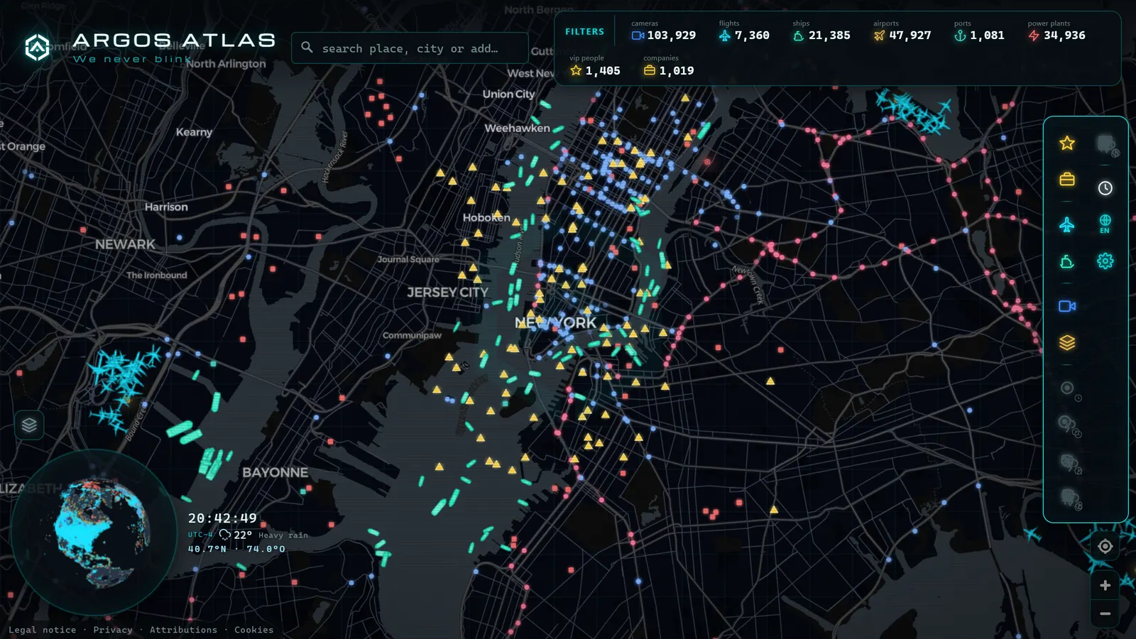
What It Contains: a Database, Not Just a Drawing
Here lies the most common misunderstanding. OpenStreetMap is not a drawing of a map: it is a geographic database of the world. The distinction matters.
In OSM, every element -- a road, a building, a fountain -- is an object with coordinates and tags that describe what it is: road type, direction of travel, speed limit, building material, business name. The catalogue is vast:
- Roads and paths of every category, from motorways to mountain footpaths, with their attributes.
- Buildings by the million, often with their exact footprint and land use.
- Shops and services: stores, restaurants, pharmacies, ATMs.
- Infrastructure: airports, ports, power lines, railways, radio masts.
- Land use and nature: forests, farmland, rivers, beaches, parks.
Because it is a database rather than an image, anyone can render it as they like. The same OSM data can be styled as a road map, a hiking map, a nautical chart, or a minimalist dark-mode basemap. If you are curious how that database is transformed into the tiles you see on screen, the process is explained in how online maps work.
Recorded straight off the map, no sound.
The ODbL Licence: Free with Two Conditions
OpenStreetMap data is published under the Open Database Licence (ODbL), and understanding this licence in plain terms is understanding why the project works the way it does. The ODbL lets you copy, modify, and use the data for anything you like -- including commercial purposes -- in exchange for two key conditions:
- Attribution: you must state that the data comes from OpenStreetMap and its contributors. This is the familiar "Copyright OpenStreetMap contributors" notice you will find in the corner of thousands of web maps.
- Share-alike for derivative databases: if you create a derivative database from OSM data -- for example, you correct it or combine it with other geographic data to form a new dataset -- that derivative database must be published under the same licence.
The second condition is the project life insurance: it prevents anyone from taking the community work, improving it privately, and locking it away. Improvements to the database flow back to the commons. An important nuance: the condition applies to derivative databases, not to everything that touches OSM data. A map rendered with OSM data can have its own visual style and its own branding, as long as it includes attribution.
Who Uses It (Probably You, Without Knowing)
The list of OpenStreetMap users is proof that the model works:
- Sports and navigation apps: many of the most popular running, cycling, and hiking applications draw their maps from OSM data, because no commercial map matches its detail on trails and footpaths. Apps widely used across the US, UK, and Europe rely on it precisely for off-road coverage.
- Public authorities: city councils and government agencies in many countries use OSM as the cartographic base for their public viewers and services, avoiding commercial licence costs.
- Humanitarian organisations: when a disaster strikes a poorly mapped region, communities of volunteers map at speed over aerial imagery so that emergency teams know where villages and roads are. It is one of the most powerful uses of the project, coordinated globally through the Humanitarian OpenStreetMap Team (HOT).
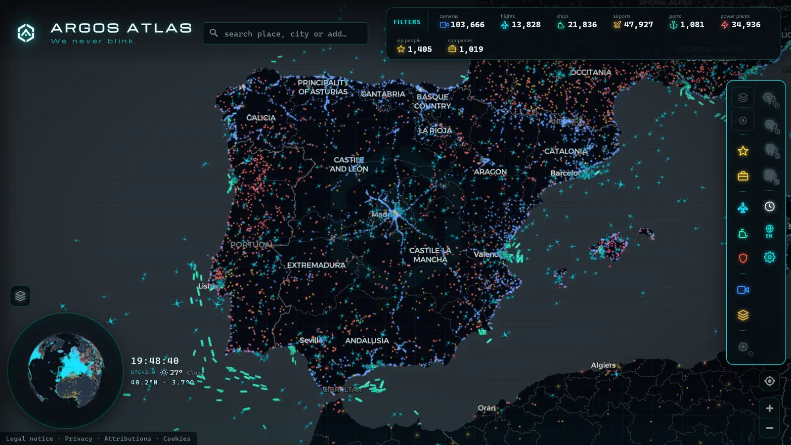
- Map viewers and services of all kinds, from large technology companies to independent projects. Argos Atlas, for example, lists OpenStreetMap among its base sources, as you can verify on its sources and methodology page.
Honest Strengths and Limits
Comparing OpenStreetMap vs Google Maps and other commercial maps is the inevitable question, and the honest answer is: it depends on the purpose and the location.
OSM strengths:
- Unmatched local detail in active areas: park benches, drinking fountains, litter bins, footpaths, steps. Commercial maps optimise for driving and consuming; OSM maps what its volunteers care about, which is almost everything.
- Speed after changes: when a new street opens or a square is pedestrianised, a local resident can update it the same day, without waiting for a corporate review cycle. This agility is particularly visible in fast-growing cities across Asia, Africa, and Latin America.
- Freedom: the data is yours to download in full, analyse, and build your own service on. No one can change the terms or cut off access.
Equally real limits:
- Uneven coverage: detail depends on local community. Major cities in Western Europe and North America are mapped with obsessive care; remote rural areas or countries with small communities may be incomplete or outdated.
- Vandalism is possible, though monitored: because anyone can edit, someone can delete a road or enter a false name. The complete edit history, detection tools, and community vigilance mean vandalism rarely survives long, but the underlying risk exists and is worth knowing about.
- No value-added services by default: OSM provides map data; reviews, venue photos, and live traffic are services others build on top -- they are not part of the project itself.
How to Contribute
You do not need to be a cartographer or a programmer. The basic cycle is: create a free account on the project official website, open the editor over your neighbourhood, and correct what you know from direct experience. The shop that closed, the new pedestrian crossing, the street name that is misspelled on the map. Small, local edits are precisely the most valuable, because nobody knows your block better than you do.
The community golden rule is simple: map only what you have verified on the ground. Your neighbourhood is the piece of the planet where you are the world foremost authority.
Nothing more is needed to start. The rest -- advanced tags, imports, specialist tools -- is learned over time and with the help of a community accustomed to welcoming newcomers.
Why It Matters That the Base Map Is Free
The underlying question: why does it matter who makes the map? It matters considerably. The map is the layer on which decisions are made about where to build, which routes exist, and what counts as real. If that layer belongs to a single company, that company decides what is shown, at what price, and under what conditions -- and can change any of those when it chooses.
A free base map guarantees that any person, local authority, NGO, or small project can build on a shared cartography without asking permission. It is the difference between renting the ground and the ground belonging to everyone. This is why so many services -- including viewers that combine the map with satellite imagery and live data layers -- choose to build on OSM: not only for cost savings, but for independence.
The next time you open a map, look for the small "Copyright OpenStreetMap contributors" notice in the corner. That is the signature of millions of hands. And if you want to see that free base in action -- with camera, flight, and vessel layers on top -- you can open the map right now.
Frequently asked questions
Who makes OpenStreetMap?
A global community of volunteers: they trace streets over licensed aerial imagery, walk paths with GPS devices, and import official open datasets. There is no company behind the content; a non-profit foundation maintains the infrastructure, but the map itself is made by people.
Is it reliable compared with commercial maps?
It depends on the area. Where the community is active, OpenStreetMap often has more local detail and reflects changes faster than commercial maps. Where editors are few, it can fall behind. Uneven coverage is its most honest limitation, and acknowledging it is part of using it well.
Can I use it for free in my website or project?
Yes. The ODbL licence allows it, even for commercial purposes, under two key conditions: attribute OpenStreetMap and its contributors, and share derivative databases you create from its data under the same licence.
How is vandalism prevented?
The same way as Wikipedia: every edit is recorded with its author and can be reverted. The community monitors changes, automated tools flag suspicious edits, and errors are usually corrected quickly in active areas. Vandalism exists, but rarely survives long.
Who are the main users of OpenStreetMap data?
Sports and navigation apps, humanitarian organisations, local governments, independent map services, and large technology companies all use OSM data. Many do so without prominently advertising it, which is why most people encounter the map without realising it.